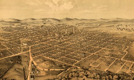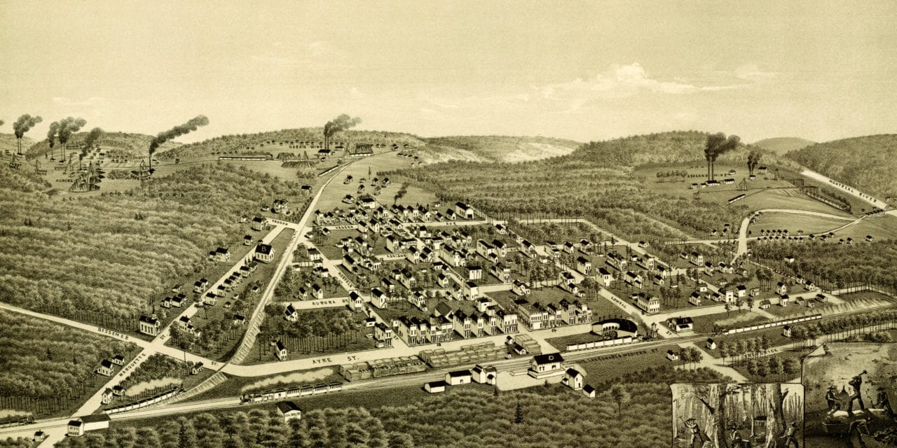
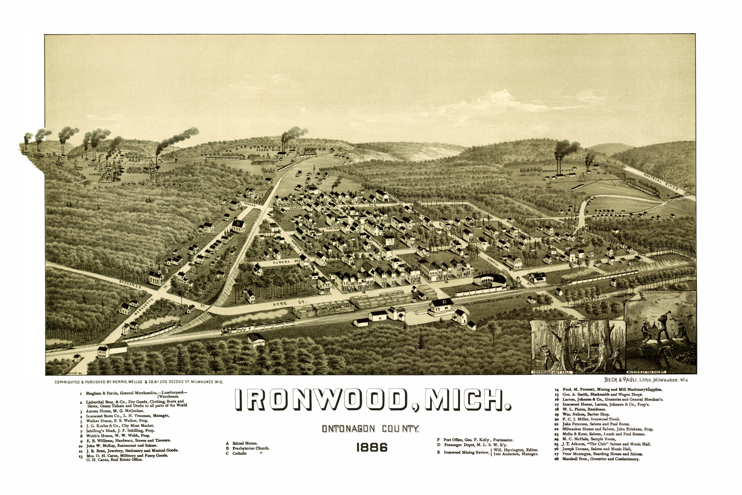
This old map of Ironwood, Michigan was created in 1886 by Henry Wellge of Milwaukee, one of the most prolific map publishers of the 19th century. Wellge spent more than 30 years of his life traveling the United States and created more than 150 panoramic maps of American towns.
The map shows a bird’s eye view of Ironwood as it looked at the end of the 19th century. Old Ironwood landmarks on the map include Aurora House, Ironwood Mining Review, Milwaukee Hotel and Saloon, Melin & Kent Lunch and Pool Rooms, “The Club” Saloon and Music Hall and more.
Click here to see Ironwood, Michigan in 1886.
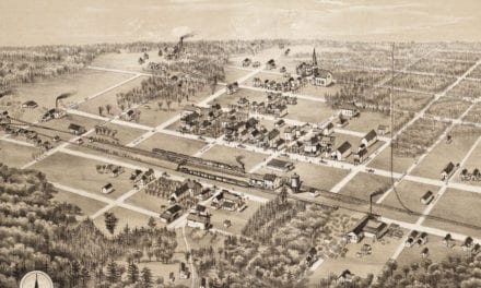
Reproductions of the restored map are available here.
This old map of Ironwood has been lovingly restored by the team at KNOWOL. Reproductions of the restored map are available on museum quality, archival paper to ensure that this piece of Michigan history can be passed on to the next generation. Click here to get a copy of the map.