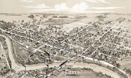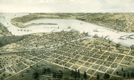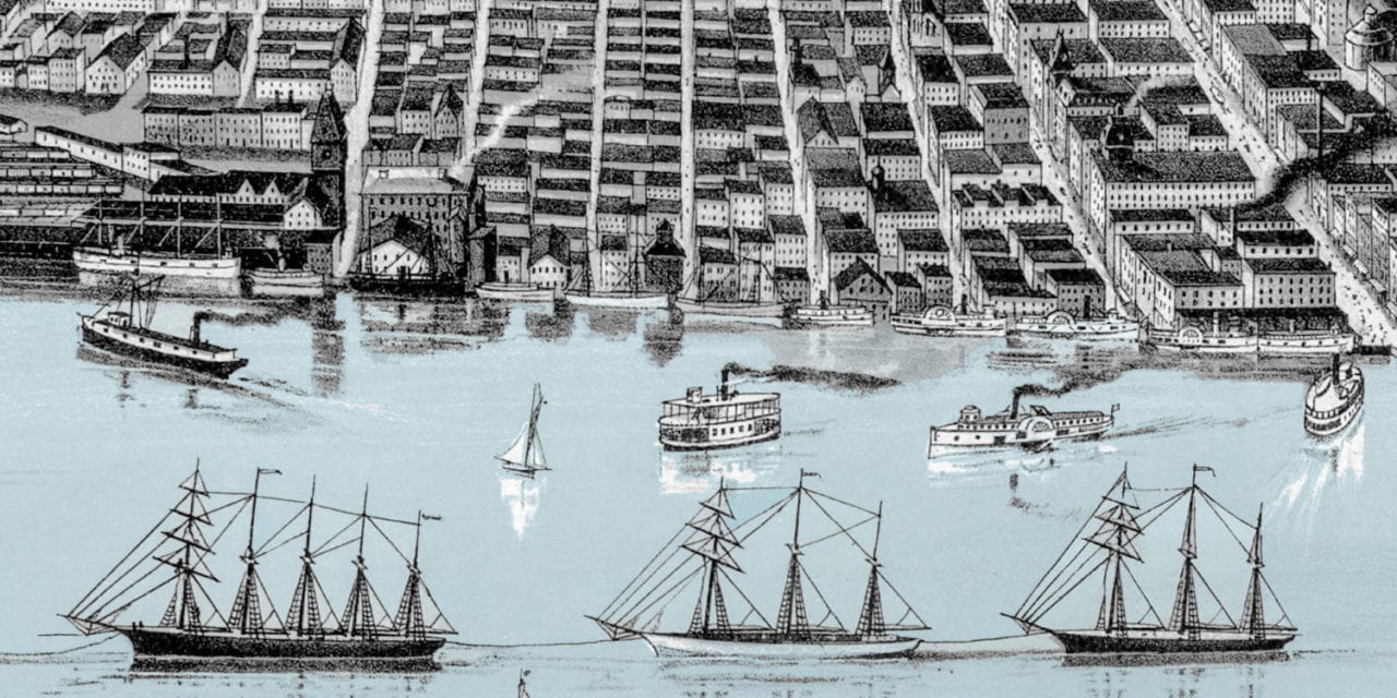
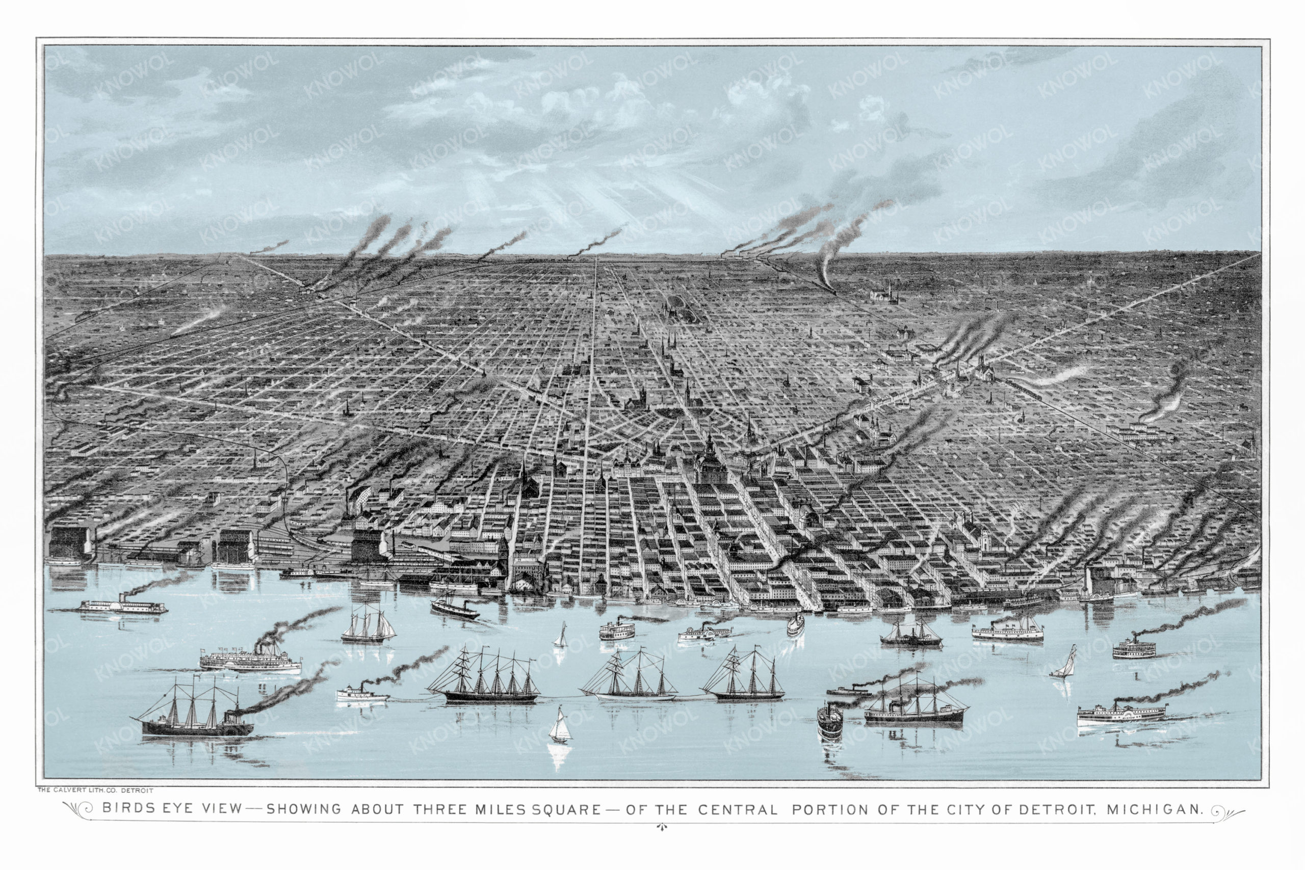
This historic map of Detroit, Michigan was created in 1889 by the Calvert Lithography Company. The map shows a bird’s eye view of the city as it used to be, with a harbor full of sail boats and a bustling commercial city center.
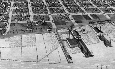
The image is labeled “Bird’s eye view showing about three square miles of the central portion of the city of Detroit, Michigan”. Many of the smokestacks seen in the image were the result of foundries manufacturing cast-iron stoves. By the 1890’s Detroit was known as the “Stove Capital of the World”.
This historic map of Detroit has been restored by KNOWOL. Reproductions of the restored map are available here.
Historic Old Map of Detroit, Michigan from 1889
This vintage map of Detroit makes an attractive addition to your office, library, or den, and can even be used to teach children the geography and history of the area. When you’re done exploring, click here to get your copy of the restored map.