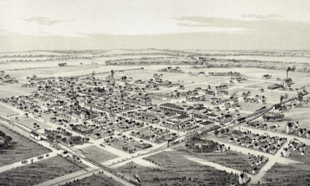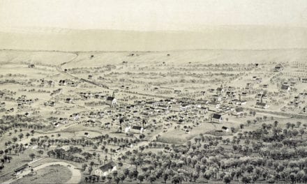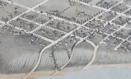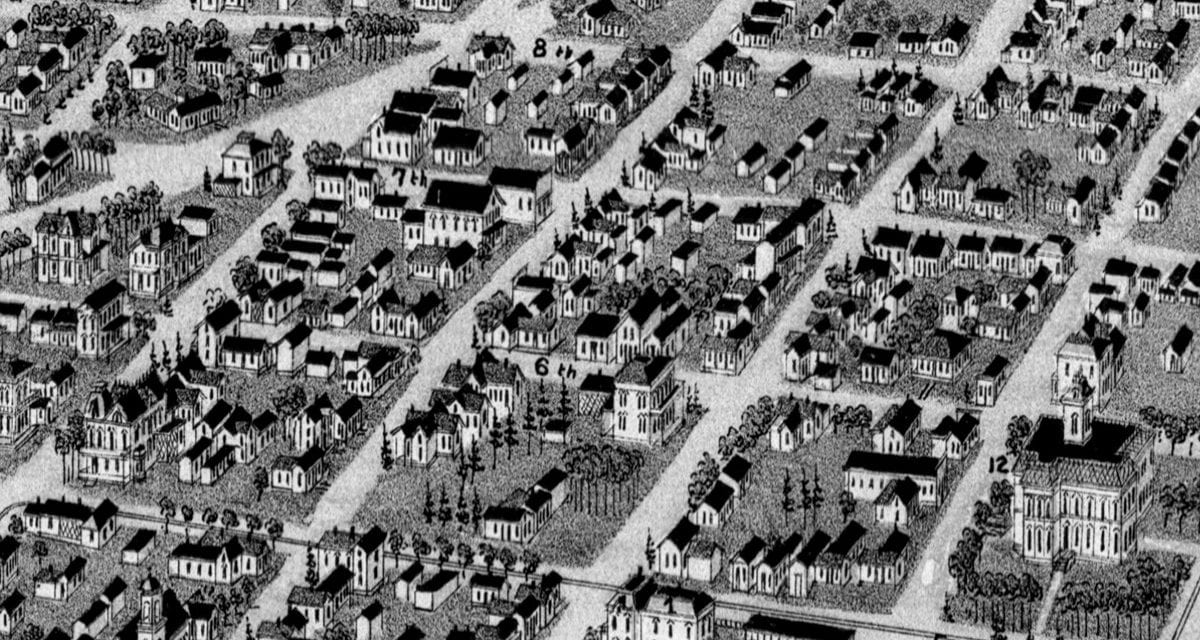
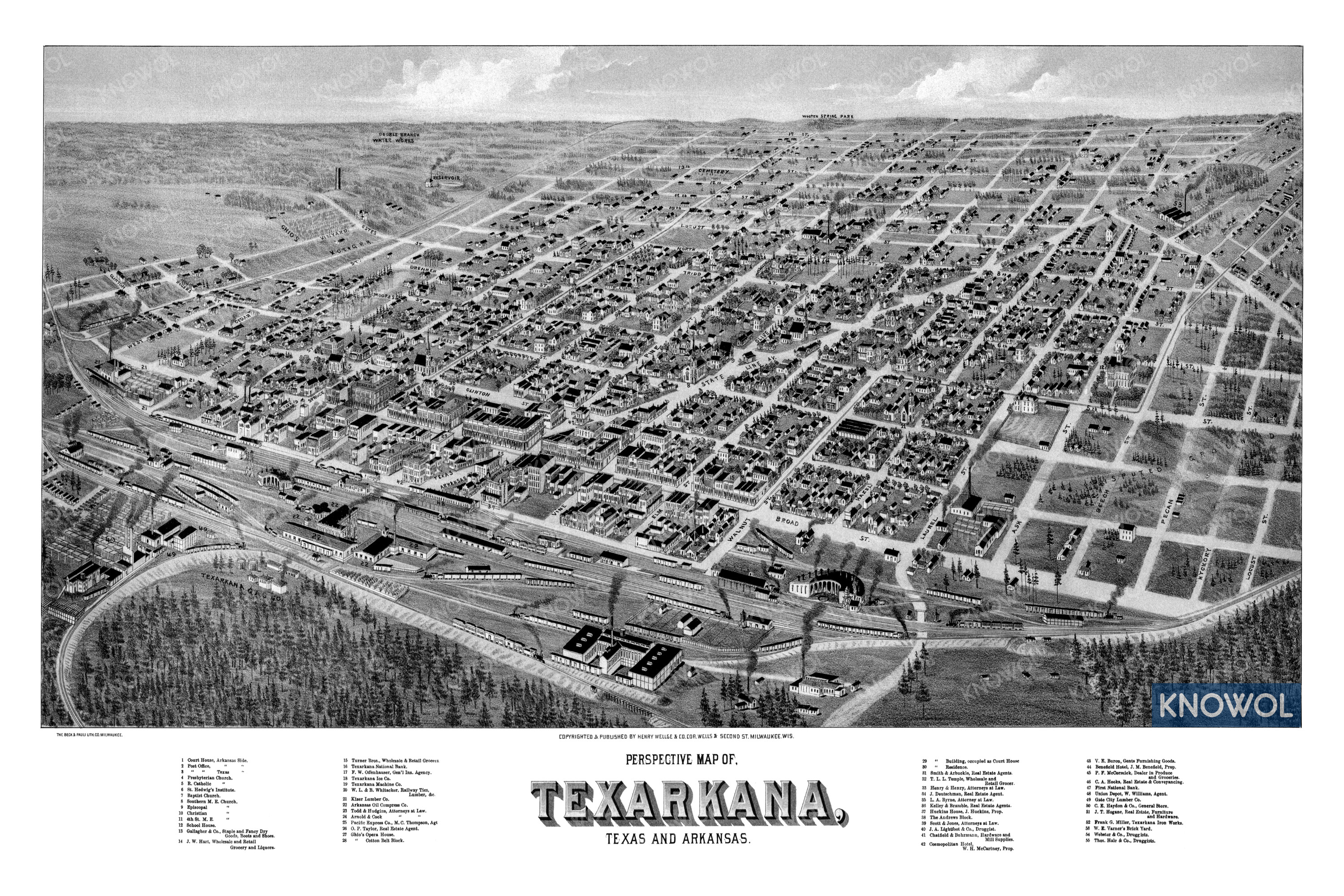
This historic map of Texarkana, Texas and Arkansas was created in 1888 by Henry Wellge, a prominent 19th century map maker. The map shows a bird’s eye view of the area as it used to be, including street names and old landmarks.
Landmarks on the map include Texarkana National Bank, Texarkana Ice Company, Whitacker Railway Ties & Lumber, Kiser Lumber, Arkansas Oil Compress Company, Ghio’s Opera House, The Andrews Block, Cosmpolitan Hotel, Gate City Lumber, and more. The map shows Texarkana in both Arkansas and Texas.
This historic map of Texarkana has been restored by KNOWOL. Reproductions of the restored map are available here.
Historic Old Map of Texarkana, TX & AR from 1888
This vintage map of Texarkana makes an attractive addition to your office, library, or den, and can even be used to teach children the geography and history of the area. When you’re done exploring, click here to get your copy of the restored map.