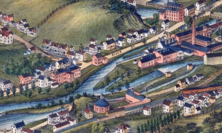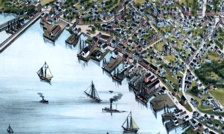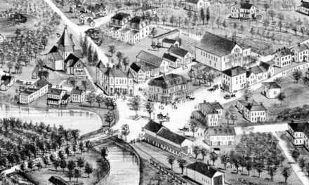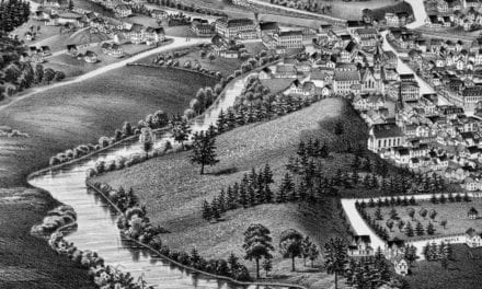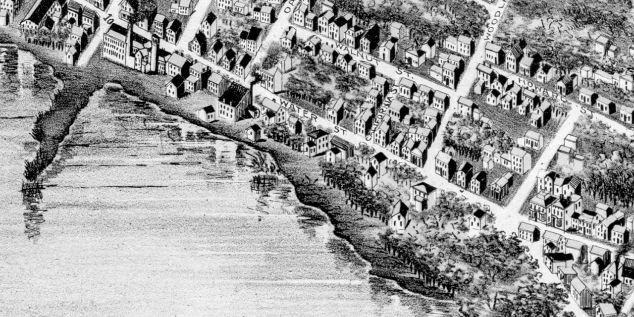
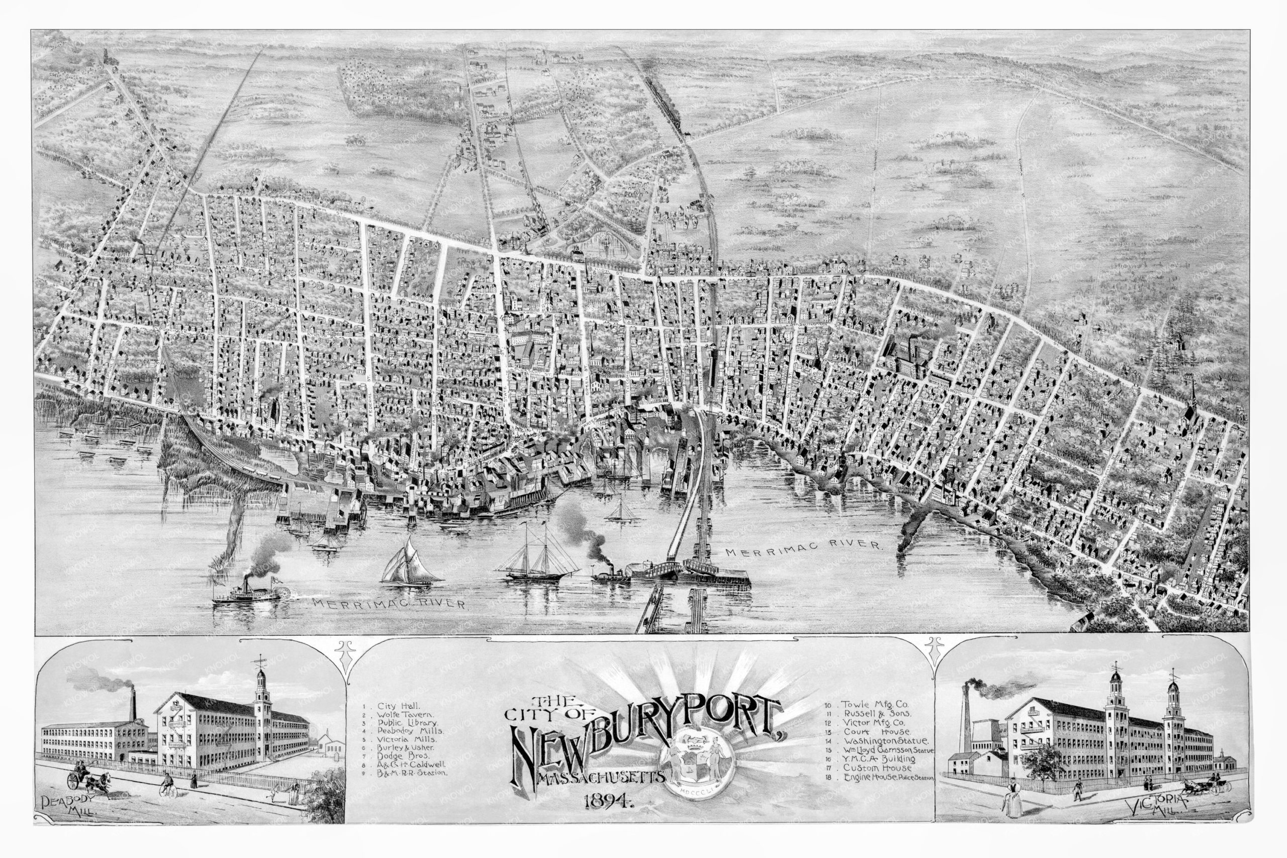
This historic map of Newburyport, Massachusetts was created in 1894 by A.F. Poole, a prominent 19th century map maker. The map shows a bird’s eye view of the area as it used to be, including street names and old landmarks.
Landmarks on the map include Wolfe Tavern, Peabody Mills, Victoria Mills, B&M Railroad Station, Merrimac River, Victor Manufacturing, the Washington Statue, Custom House, Engine House, Police Station, Public Library, and more.
This historic map of Newburyport has been restored by KNOWOL. Reproductions of the restored map are available here.
Historic Old Map of Newburyport, Massachusetts from 1894
This vintage map of Newburyport makes an attractive addition to your office, library, or den, and can even be used to teach children the geography and history of the area. When you’re done exploring, click here to get your copy of the restored map.