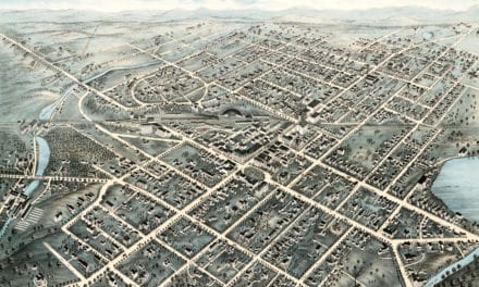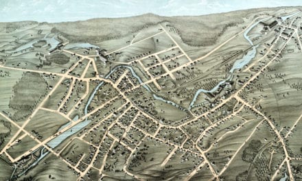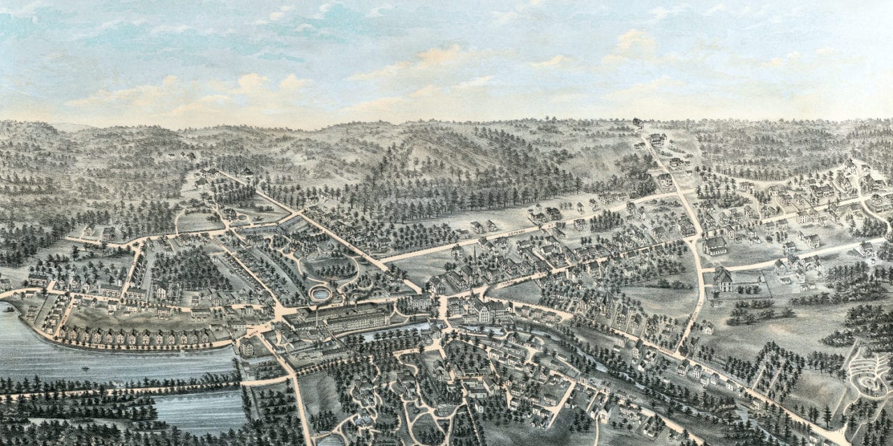
This map of Whitinsville, Massachusetts was created in 1879 by J.C. Woodbury of Woodbury & Company. The map shows a bird’s eye view of the village as it used to be, including street names and old landmarks.
Old Whitinsville landmarks on the map include Whitin Machine Works, Whitinsville Cotton Works, Whitinsville Hotel, Memorial Hall, Searles Hardware, Graham Brothers Harnesses, Congregational, Methodist, & Roman Catholic churches, the Linwood area, and more.
This historic map of Whitinsville, MA has been restored by KNOWOL. Reproductions of the map are available here.
Map of Whitinsville, Massachusetts in 1879
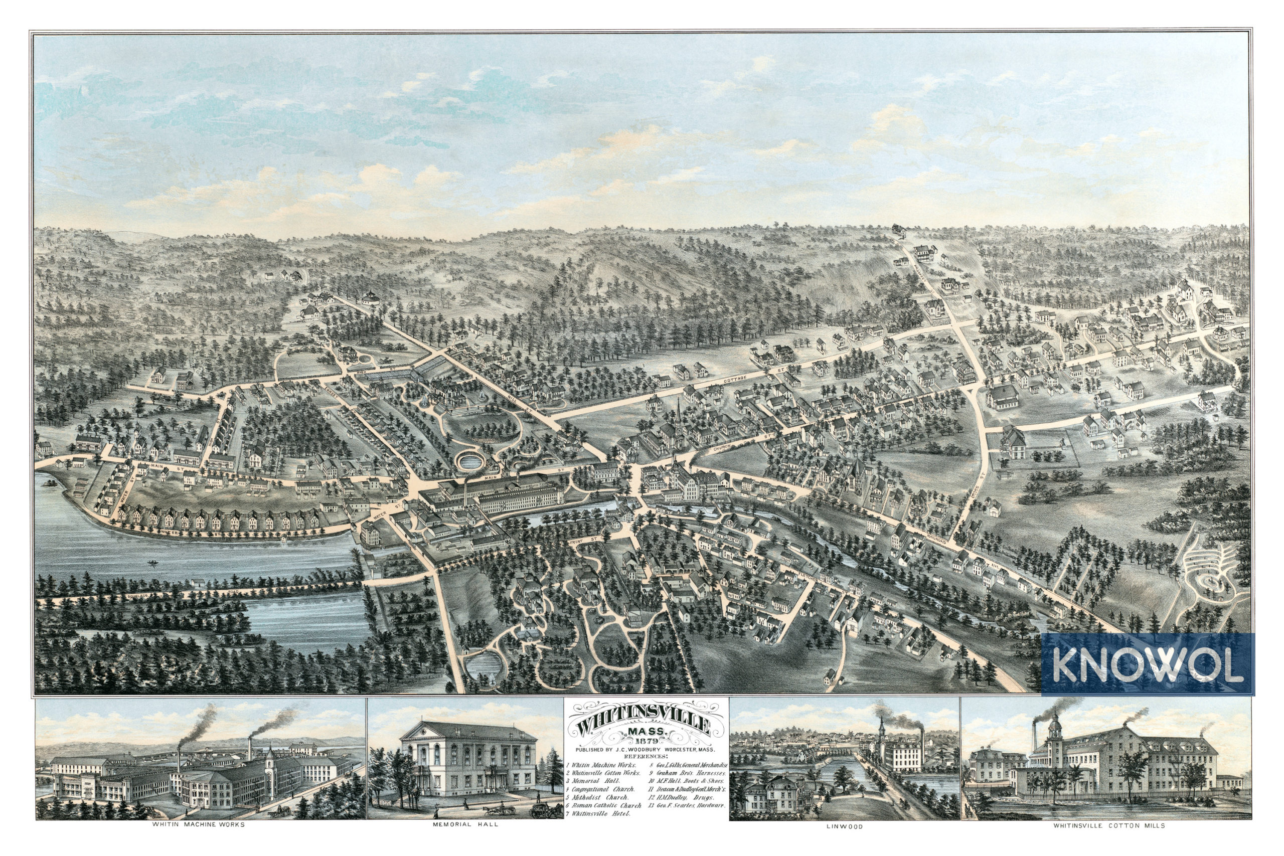
This map of Whitinsville will make an attractive addition to your office, library, or den and can even be used to teach children the geography and history of the area. When you’re done exploring, click here to get your copy.