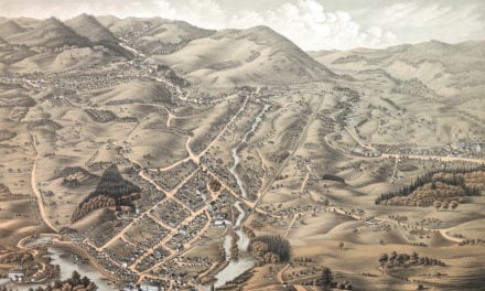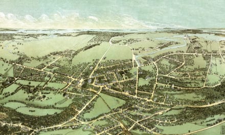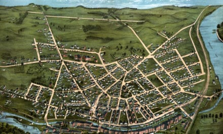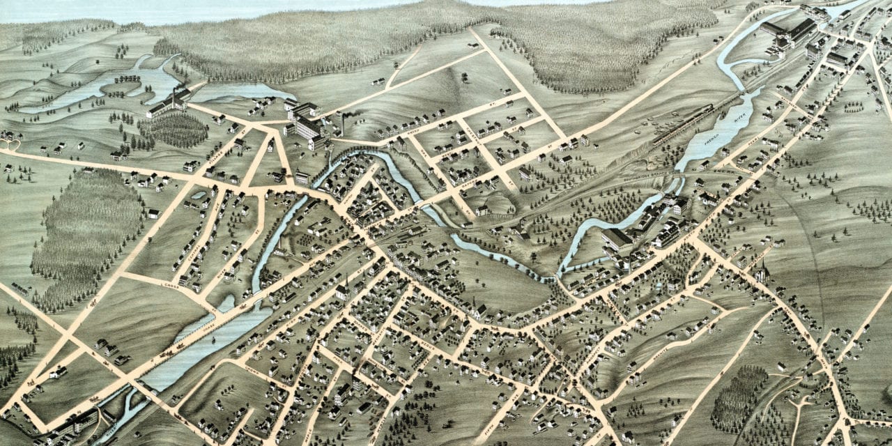
This historic map of Webster, Massachusetts was created in 1878 by Beck & Pauli, a prominent team of 19th century map makers. The map shows a bird’s eye view of the town as it used to be, including street names and old landmarks.
Landmarks on the map include Chase’s Fancy Cassimere Works, Steven’s Linen Works, Joe Goddard’s Coal & Lumber, Shumway & Fisher Dry Goods, John Love’s Marble & Granite Works, Hind’s Jewelers, Bates & Powers Boots and Shoes, Slater’s Cambric Works, Cotton Mills, Stores, and more.
This historic map of Webster was restored by KNOWOL. Reproductions of the restored map are available here.
Bird’s Eye View of Webster, Massachusetts in 1878
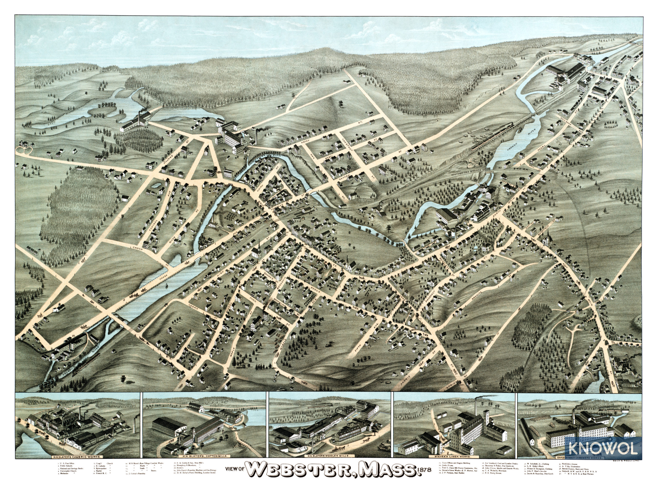
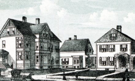
This old map of Webster makes an attractive addition to your office, library, or den and can even be used to teach children the geography and history of the area. When you’re done exploring, click here to get your copy.