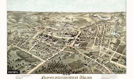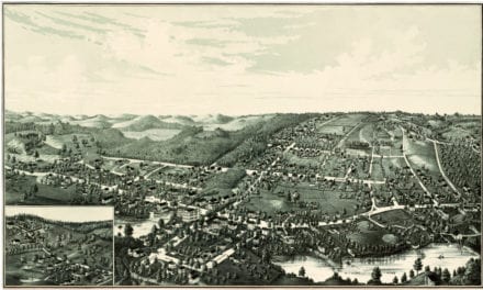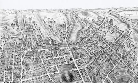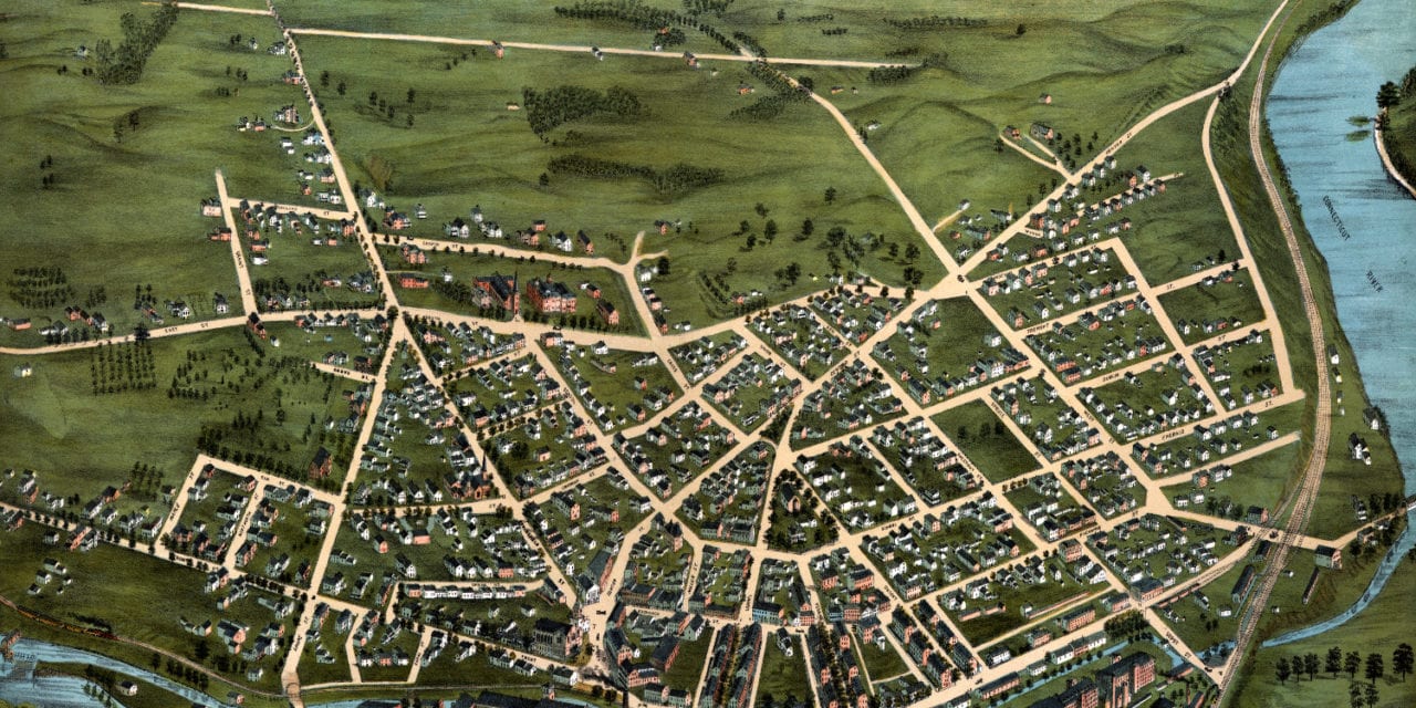
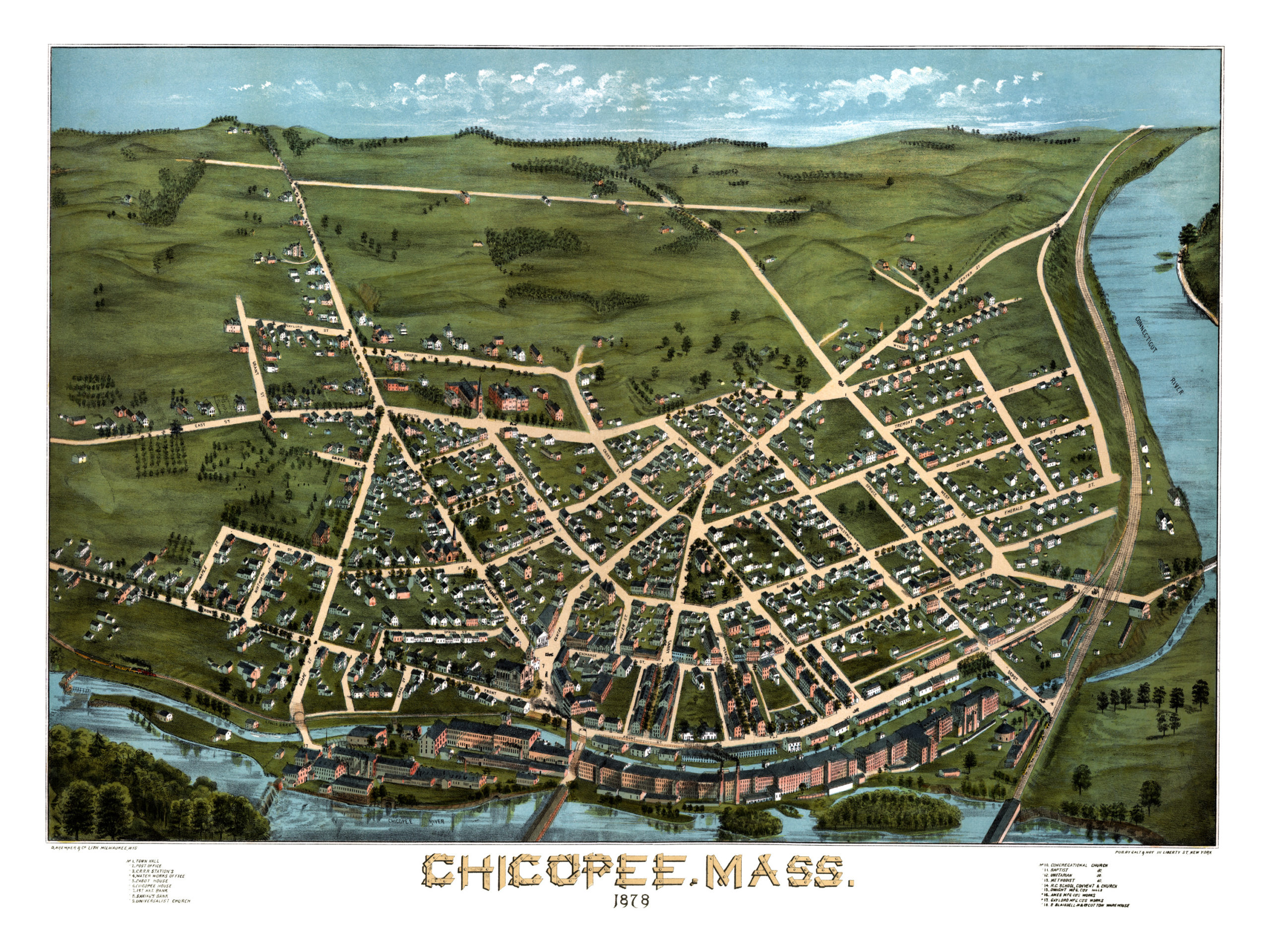
This historic map of Chicopee, Massachusetts was created in 1878 by D. Bremner and Galt & Hoy Lithographers. The map shows a bird’s eye view of Chicopee as it used to be, including street names and old landmarks.
Old landmarks on the map include Town Hall, Post Office, Cabot House, Chicopee House, Dwight Manufacturing Company Mills, Ames Manufactury Company, Gaylord Manufacturing, Water Works Office, Blaisdell Cotton Warehouse, a variety of churches, and more.
This historic map of Chicopee was restored by KNOWOL. Reproductions of the restored map are available here.
Bird’s Eye View of Chicopee, Massachusetts in 1878
This old map of Chicopee makes an attractive addition to your office, library, or den and can even be used to teach children the geography and history of the area. When you’re done exploring, click here to get your copy.