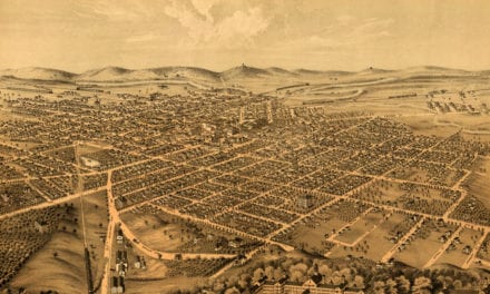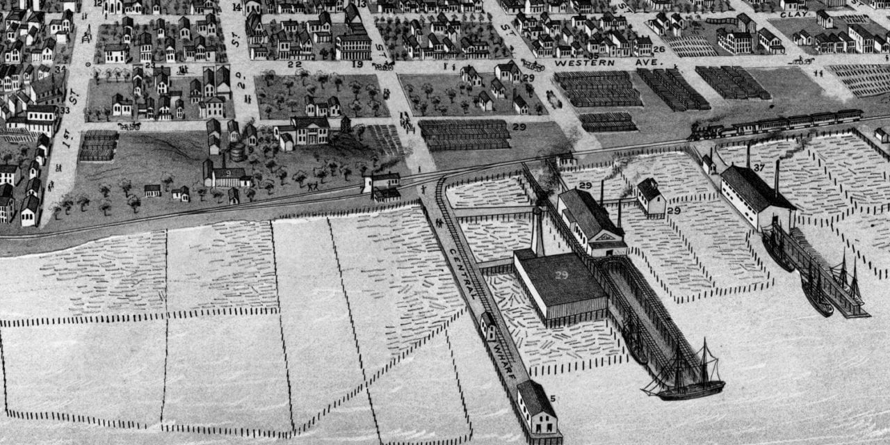
This historic map of Muskegon, Michigan was created in 1874 by Chas. Sober & Company, a prominent 19th century map maker. The map shows a bird’s eye view of the area as it used to be, including street names and old landmarks.
Landmarks on the map include Occidental Hotel, Mason Lumber Company, Champion Planing Mill, Boiler Works, Hamilton’s Mills, Washington House, Court House, Ward Schools, Fire Engine House, Steamboat Landings, and more.
This historic map of Muskegon has been restored by KNOWOL. Reproductions of the restored map are available here.
Historic Old Map of Muskegon, Michigan from 1874

This vintage map of Muskegon makes an attractive addition to your office, library, or den, and can even be used to teach children the geography and history of the area. When you’re done exploring, click here to get your copy of the restored map.