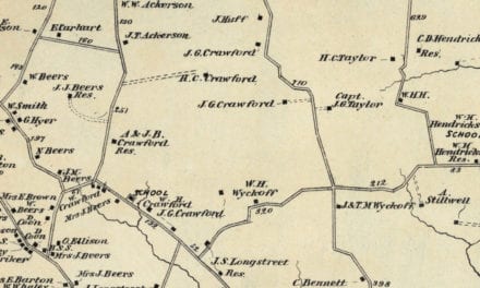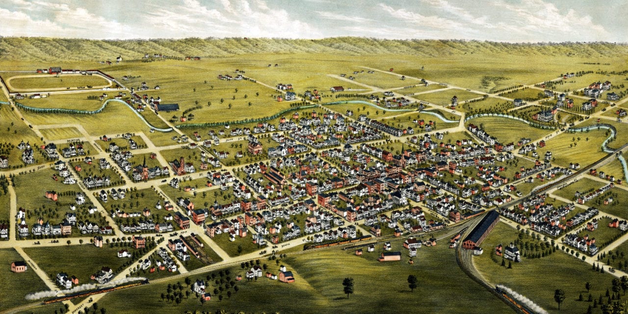
This vintage map of Somerville, New Jersey was created in 1882 by T.M. Fowler, one of the most prominent bird’s-eye view mapmakers of the 19th century. The map shows a beautiful aerial view of Somerville as it once was, with tree-lined streets, horse-drawn carriages, busy storefronts, church steeples rising above the rooftops, the railroad cutting through town, neighborhood homes with tidy yards, hotels, shops, and the small-town landmarks that shaped daily life in Somerville in the late 1800s. This restored edition brings the historic view back to life while preserving the original linework, labels, and details of the 1882 map.
Historic Somerville landmarks on the map include the Agricultural Fair Grounds, the New Jersey Central Railroad Station, Honeyman Brothers Groceries, Koehler’s Bakery & Confectionary, Taylor’s Hotel & Bakery, Struve’s Building, Merz Jewelers, Doughty’s Lumber Yard, Ayers Groceries, numerous churches, and many other landmarks remembered by generations of Somerville families.
This vintage map of Somerville has been restored by KNOWOL. Reproductions of the restored map are available here. You can click on the image below to zoom in and explore the details.
Vintage Map of Somerville, New Jersey 1882
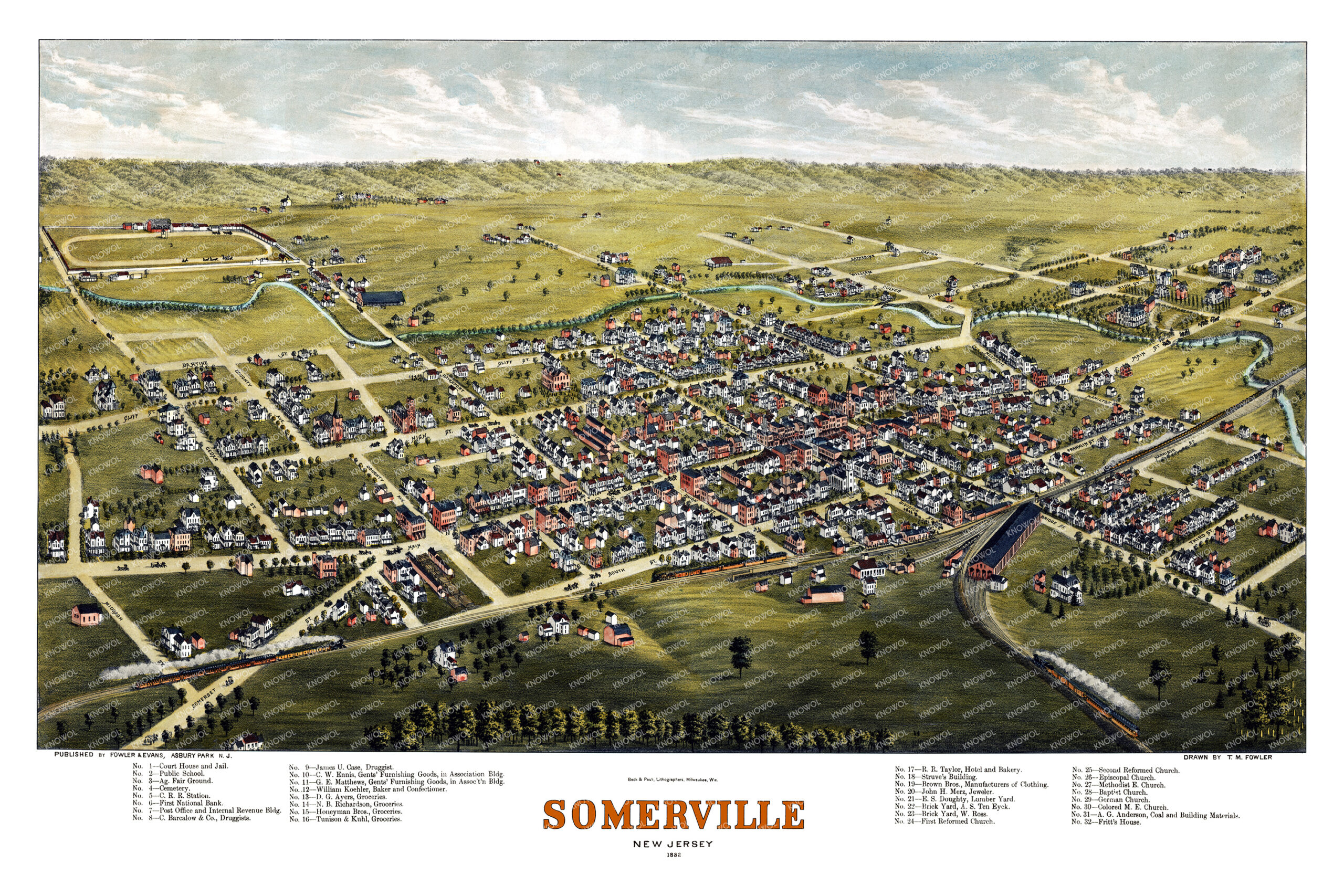
At the time this map was drawn, Somerville was a busy and growing community in the heart of Somerset County. Residents knew one another by name, gathered for the annual fair, did their shopping at the family-run stores along Main Street, and met the trains pulling into the New Jersey Central Railroad Station that connected the town to Newark, New York City, and points west.
For anyone who grew up in Somerville, walked its streets as a child, attended one of its historic churches, raised a family in town, or still thinks of Somerville as home, this map is a one-page memory: the familiar street grid, the names above the storefronts, the rooftops and steeples, and the feeling of a small New Jersey town at the end of the 19th century.
This beautiful old map of Somerville makes an attractive addition to your office, library, den, or family room and can even be used to teach children the geography and history of the area. When you’re done exploring, click here to get your copy of the restored map.