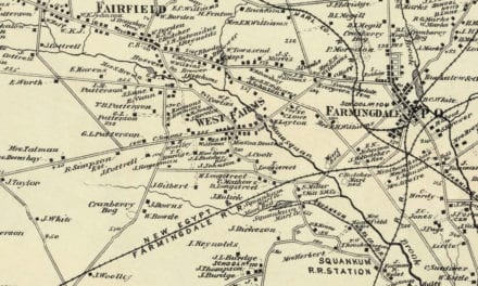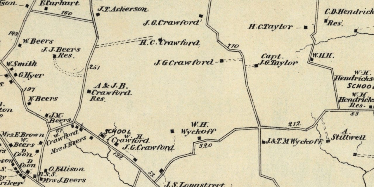
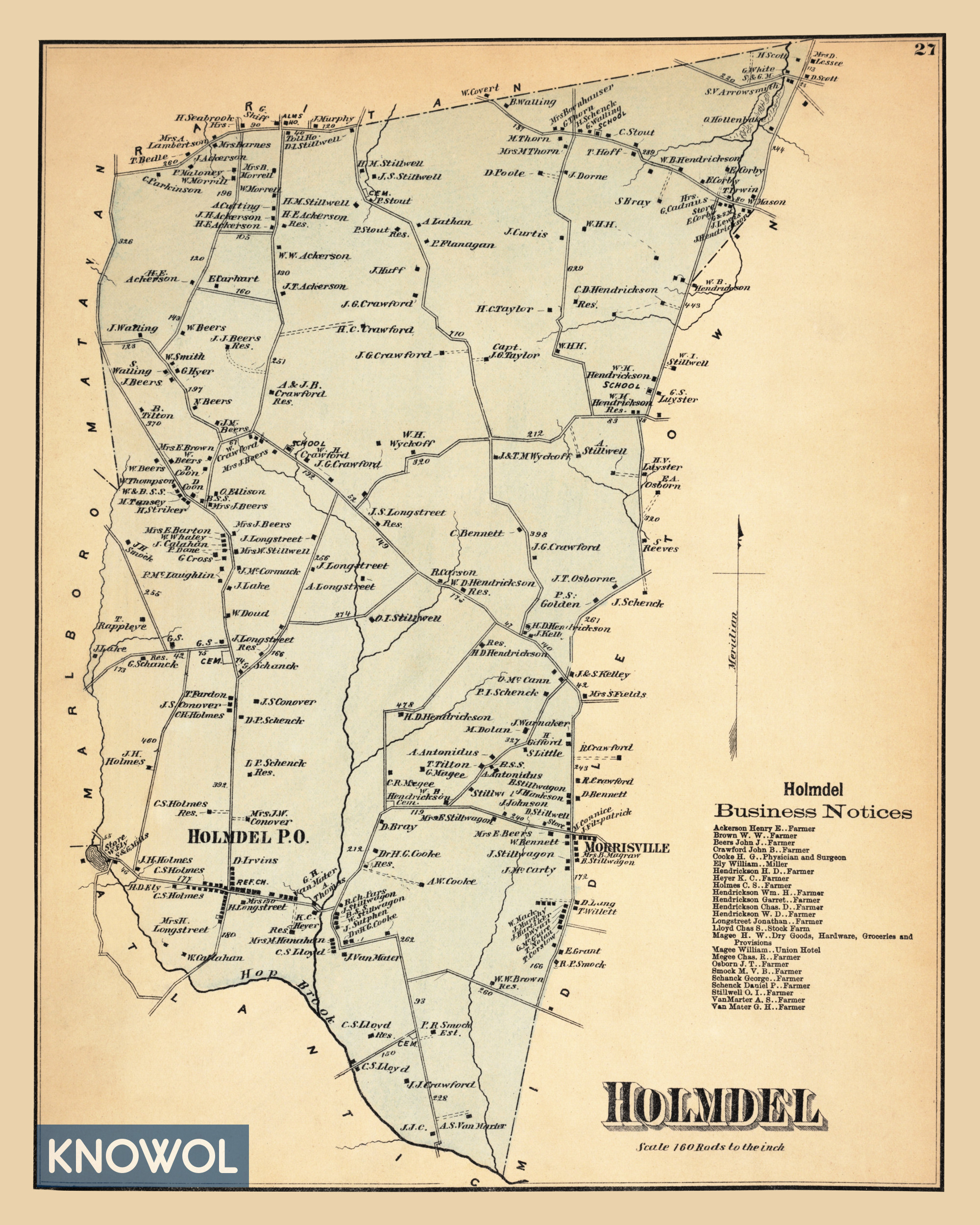
This old landowners map of Holmdel, New Jersey was created in 1873 by Frederick W. Beers, a prominent 19th century cartographer. The map shows Holmdel as it used to be, including a directory of local farmers and businesses.
Each plot of land is labeled with the name of the person who owned it at the time. Landmarks on the map include S&G Mills, Union Hotel, Magee Dry Goods & Provisions, H.G. Cooke Physician & Surgeon, Hop Brook, and more.
This historic map of Holmdel was restored by KNOWOL. Reproductions of the restored map are available here.
Landowners Map of Holmdel, NJ from 1873
This old map of Holmdel makes an attractive addition to your office, library, or den and can even be used to teach children the geography and history of the area. When you’re done exploring, click here to get your copy.