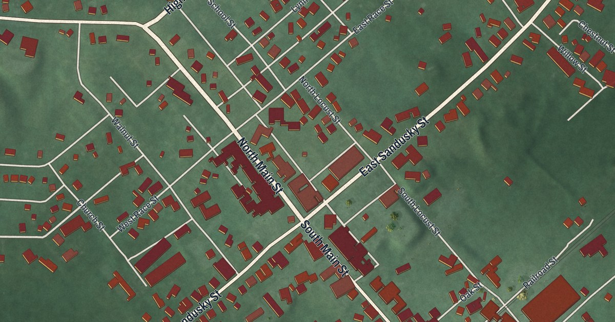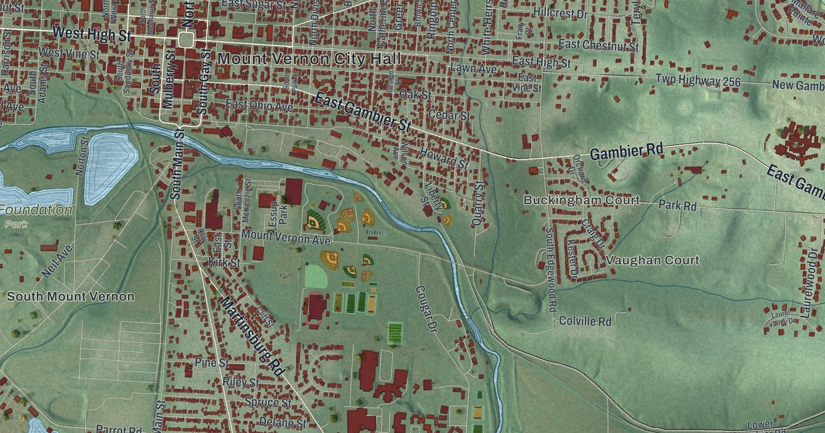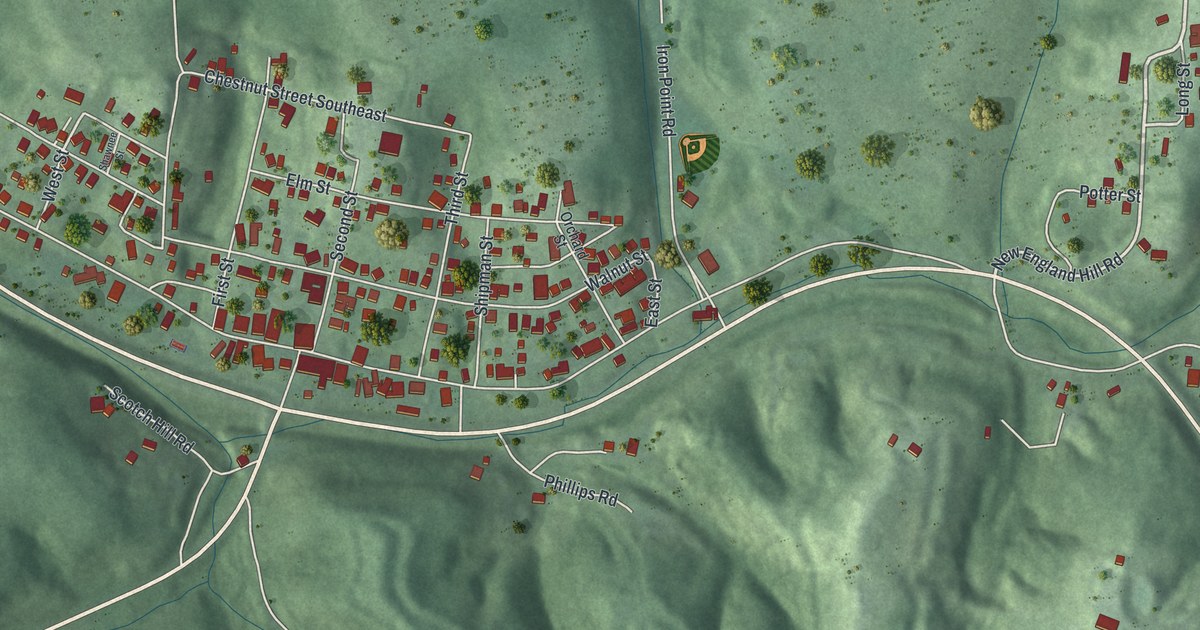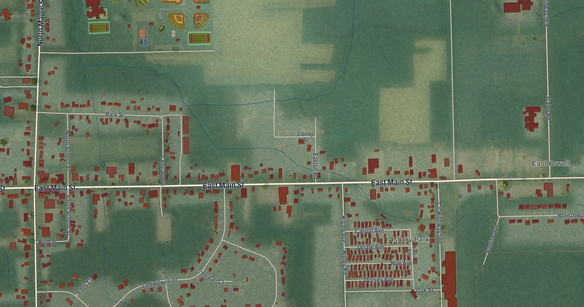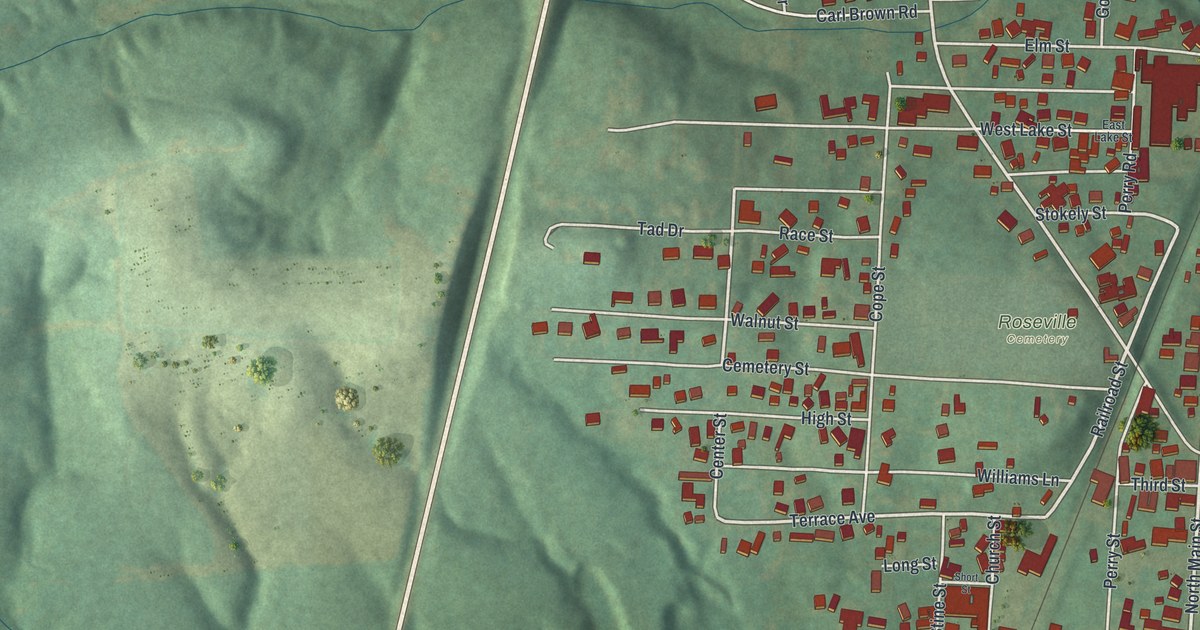
If you grew up in Roseville, here's a way to keep your hometown close. This modern aerial view of Roseville in Perry County, Ohio, uses modern data with a vintage feel. Green hills surround the town's streets, red buildings, and winding blue water.
Roseville's church house on cemetery hill
On this map you'll find North Main Street, South Main Street, Zanesville Road, East Athens Road, West Athens Road, Washington Street, Perry Street, Stokely Street, Church Street, Cemetery Street, Potters Lane, McCoy Lane, Roseville Cemetery, and more. Each red shape is a building, so zoom in on the preview and look for yours.
Roseville's early churches shared space on cemetery hill. The 1883 history of Perry County says the Presbyterian Society started there in 1849. It met in an old house open to all denominations. That meant the house welcomed more than one church group. On this map, you can look for Roseville Cemetery and Cemetery Street. Their names offer a link to the hill in that early account.
Keep Roseville and Main Street close

Created by KNOWOL in 2026, this print pairs green shaded hills with blue water, pale roads, and red building shapes. A cream border surrounds the view. The title panel reads AERIAL VIEW OF, ROSEVILLE, OHIO, and 39°48' NORTH 82°05' WEST.
Hang it in a living room, hallway, or home office. It's a thoughtful gift for someone who grew up near North Main Street and now lives away. Open the preview to find a familiar street or the block you called home. See sizes and frames for the Roseville map.