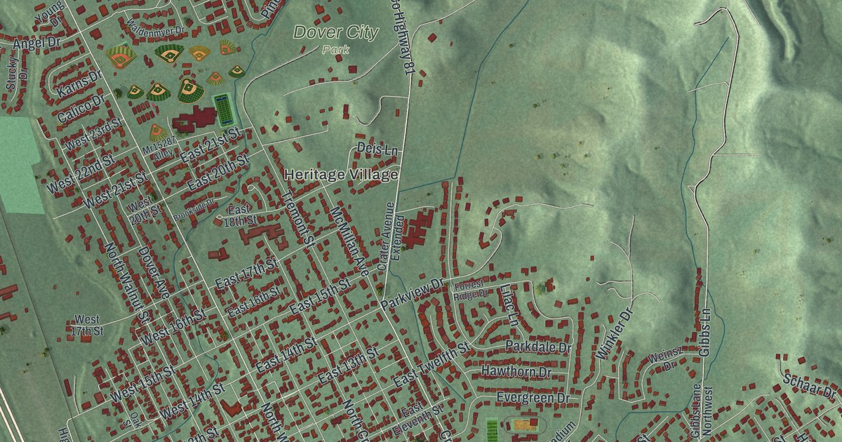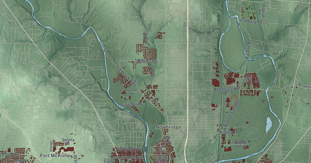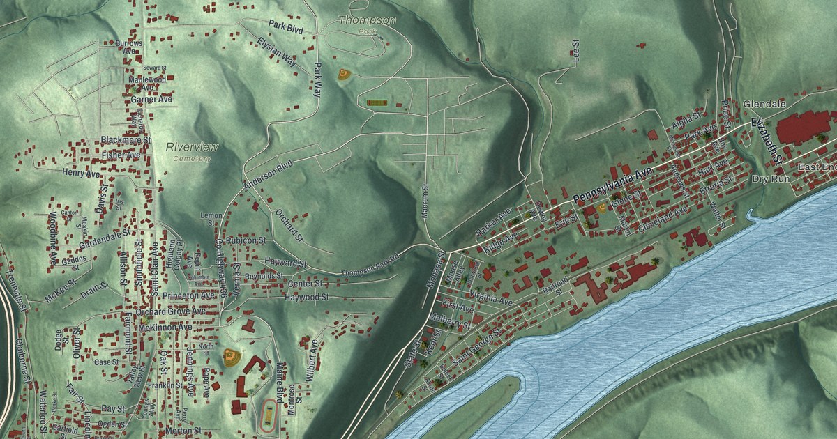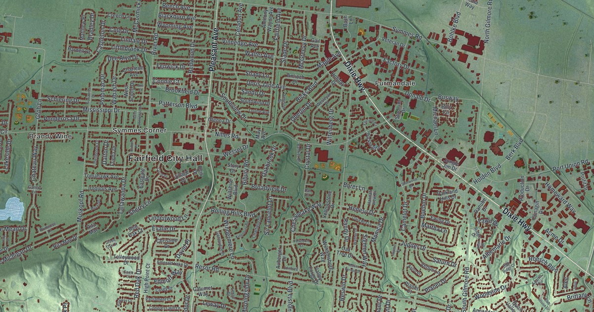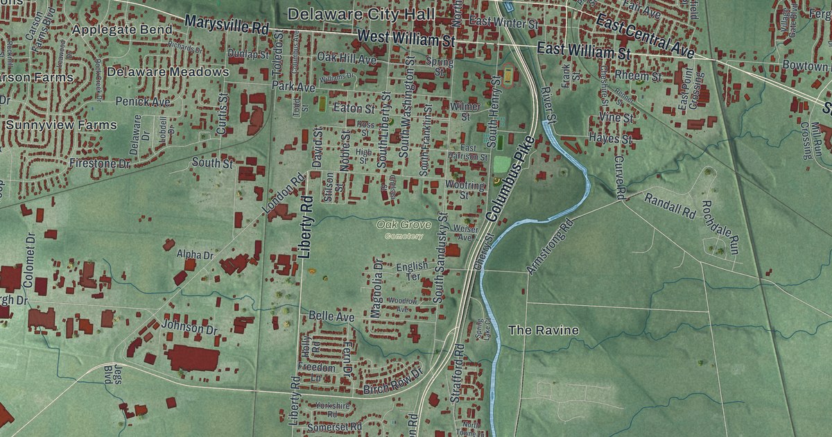
If you grew up in Delaware, went to Ohio Wesleyan, or live in one of the neighborhoods off Columbus Pike, this map gives you a lot to find. It's a modern aerial view of Delaware in Delaware County, Ohio, made from modern data with a vintage feel. A blue river winds down the middle of the sheet, and downtown sits right beside it. More than 14,000 buildings are drawn in red. Neighborhoods spread out on every side, from Troy Farms in the top left to Glenross near the bottom right. Explore the print options for Delaware.
Delaware City Hall, Columbus Pike and Braumiller Woods
Start at Delaware City Hall, printed in the middle of town. West William Street runs west from here and turns into Marysville Road. Follow it out past Applegate Bend and Braddington Commons. Now come back and cross the river on East William Street. The river is the Olentangy, though it isn't labeled. East Central Avenue heads on toward Kensington Place, and Sunbury Road angles off to the southeast. Back at the river, pick up Columbus Pike and follow it south. Oak Grove Cemetery sits just to the west, between the Pike and Liberty Road. Keep going past The Ravine and Stratford. Near the bottom right you'll reach Braumiller Woods, Glenross and Cheshire Road. Many of the roads are labeled, and each red shape is a building, so zoom in on the preview and look for yours.
Here's a story to tell when someone asks about the map. During the Civil War, the Union Army set up two camps on either side of the Olentangy River. Both were called Camp Delaware. The first went up on the west side in the summer of 1862. White recruits of the 96th and 121st Ohio Volunteer Infantry entered service there. The second camp opened on the east side in the summer of 1863. It became the meeting point for most African American Ohioans joining the army. The 127th Ohio Volunteer Infantry started there. It was later renamed the 5th United States Colored Troops. The 27th U.S. Colored Troops and men from other Black units entered service at Camp Delaware too. The Ohio History Connection tells the story on a marker about the camps.
The camps aren't marked on the map, but the river they stood beside runs down the whole sheet. That marker stands on South Sandusky Street, south of downtown and close to the water. Farther down Columbus Pike, another marker tells a very different story. It stands at Perkins Observatory, which isn't labeled. Half a mile east was Big Ear, a radio telescope designed by John Kraus of Ohio State University. It was finished in 1963. For 24 years it listened for signs of intelligent life in space. In 1977 it picked up the famous "Wow!" signal. Big Ear was torn down in 1998.
A gift for Delaware families, from Troy Farms to Glenross
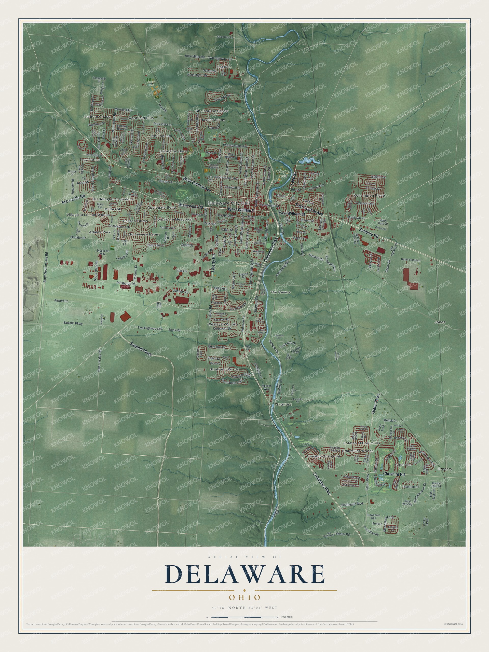
Created by KNOWOL in 2026, this Delaware map suits an office, a den or a family room. The land is shaded from USGS elevation data, the river is drawn in blue, and the buildings are drawn in deep red. The title panel reads "Aerial View of Delaware, Ohio," with the coordinates 40°18' North, 83°04' West and a one-mile scale bar.
It makes a good gift for an Ohio Wesleyan grad, a family in Glenross or Braumiller Woods, or anyone who grew up in Delaware and moved away. Open the preview and follow Columbus Pike down the river to a street you know. Shop the Delaware, Ohio map.