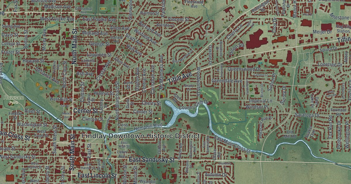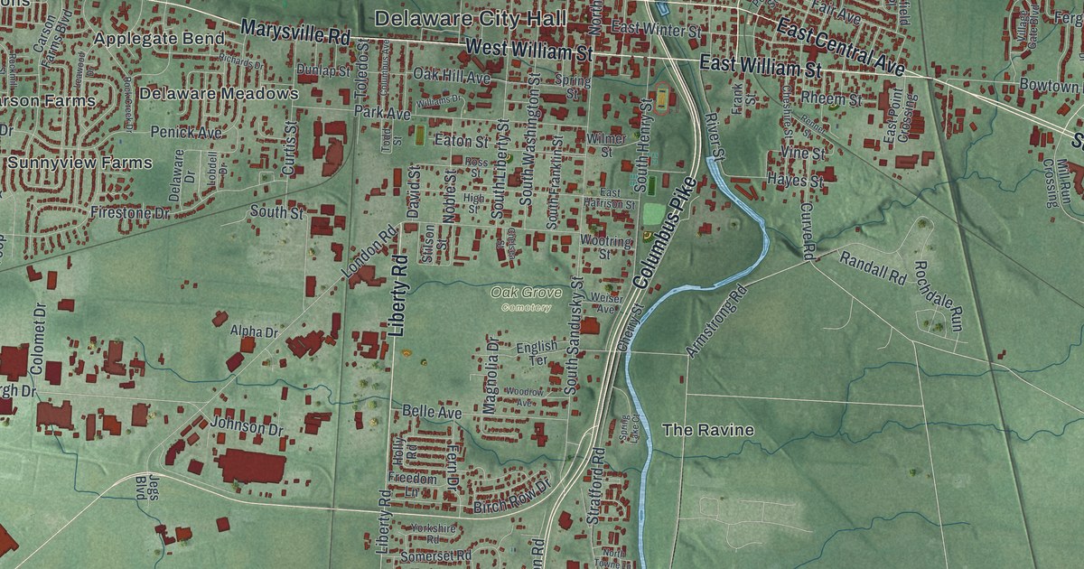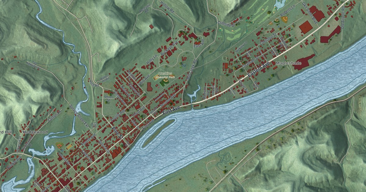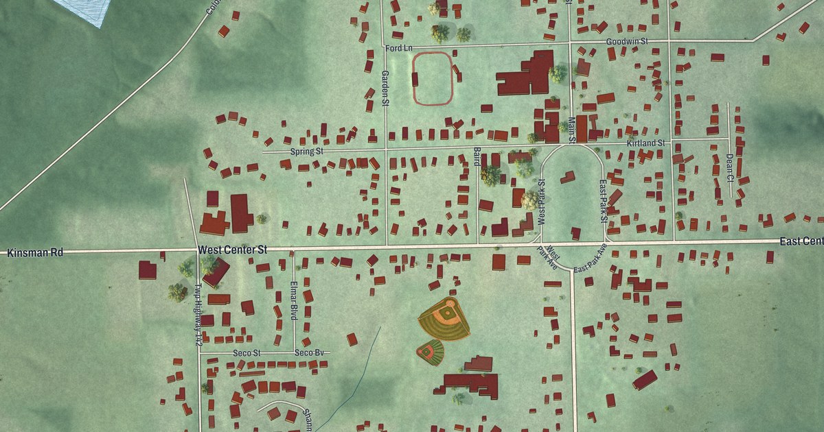
If you grew up in Burton, or you've ever spent a day at the Great Geauga County Fair, this map gives you a lot to find. It's a modern aerial view of the village of Burton in Geauga County, Ohio, made from modern data with a vintage look. More than 960 buildings are drawn in dark red on soft, shaded green hills. A small oval green sits in the middle of town, and the main road crosses the sheet just below it. The Geauga County Fairgrounds are printed near the top, and Burton Township Hall sits near the bottom. Explore the print options for Burton.
From the village green up North Cheshire Street to the fairgrounds
Start at the oval green in the middle of town. It isn't labeled, but West Park Street and East Park Street run down either side of it. Main Street heads north from the top of the green. Spring Street runs off to the west, and Kirtland Street runs east. Now follow Main Street north to Goodwin Street, where it becomes North Cheshire Street. Keep going north past Cook Street, and you'll reach the Geauga County Fairgrounds. Welton Cemetery is labeled just to the east, beyond Hickox Street. Back at the green, drop down to the main road. East of town it's printed East Center Street. To the west it's West Center Street, and then Kinsman Road farther out. South Cheshire Street carries on down the sheet. Take Carlton Street west from it, and you'll find Burton Township Hall and Burton Park printed below. Many of the roads are labeled, and each red shape is a building, so zoom in on the preview and look for yours.
Burton's story starts with a spring. A state historical marker on the green says Thomas Umberfield brought his family here on June 21, 1798. They built the first home, a log cabin southwest of the spring at the end of Spring Street. A man named Titus Street owned the largest parcel of land in the township, so he got to name it. He named it after his son, Burton. The spring isn't labeled on the map, but Spring Street is.
The Great Geauga County Fair is the longest continuously operating county fair in Ohio. The fair's marker says the first fairs were held on Chardon Square in 1823. Between 1840 and 1854, Chardon, Claridon and Burton all wanted to be the fair's permanent home. Burton's offer won. Work on the grounds started right away, and the fair grew fast. The Burton Congregational Church had a part in it too. The church's marker says it served for many years as the main hall for the Agricultural Fair, which came before today's fair. The church was built in 1836, and its 104-foot steeple went up in 1875. It stands where Spring Street meets West Park Street. Up at the fairgrounds, the Domestic Arts Hall and Flower Hall are on the National Register. They aren't labeled, but look for the large red buildings near the top of the map.
For anyone who knows Spring Street and the Burton fairgrounds
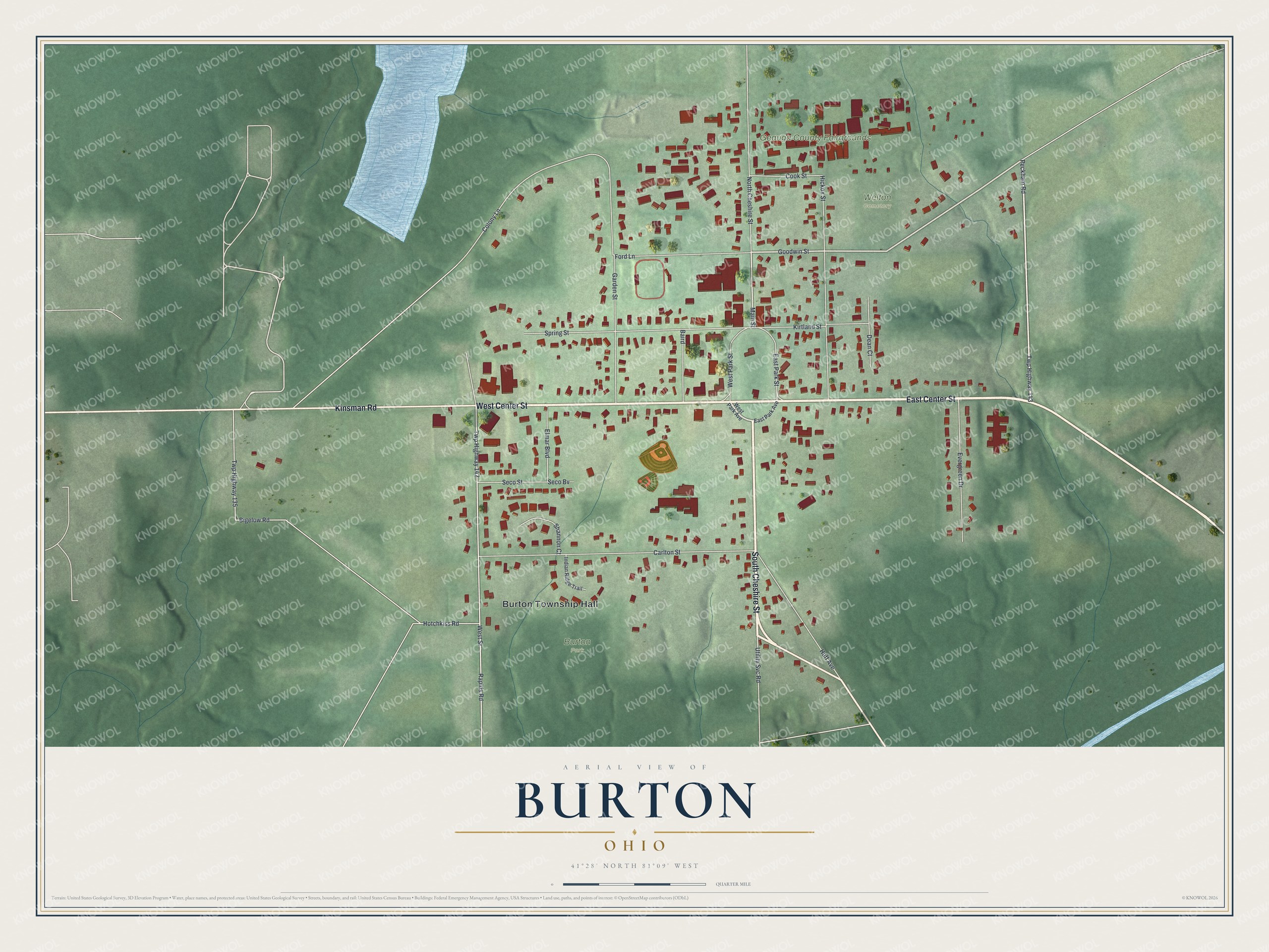
Created by KNOWOL in 2026, this Burton print shows dark red buildings on green land with soft shading. The shading comes from USGS elevation data, and the streets come from Census Bureau records. A patch of blue water sits near the top left, though it isn't labeled. At the bottom, the title panel reads "Aerial View of Burton, Ohio" with 41°28' North 81°09' West and a quarter-mile scale bar.
It fits a kitchen, a family room or a home office. It's a good gift for someone who grew up in Burton and moved away, or for a family that goes to the fair every year. Open the preview and follow North Cheshire Street up to the fairgrounds. Shop the Burton, Ohio map.