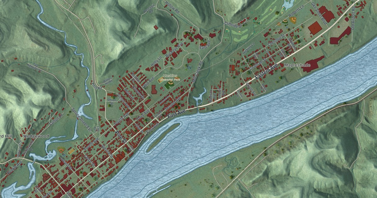
If you grew up in Gallipolis, still have family here, or ever walked First Avenue along the river, this map gives you plenty to find. It's a modern aerial view of Gallipolis in Gallia County, Ohio, made from modern data with a vintage feel. The Ohio River runs corner to corner across the sheet, though it isn't labeled. The town stretches along the Ohio side. More than 2,600 buildings are drawn in red. Steep green hills rise behind the town and on the far shore. Explore the print options for Gallipolis.
First Avenue, State Street and Mound Hill Cemetery
Start downtown on First Avenue, the street that runs along the river. Second, Third and Fourth Avenues run beside it, each one a block farther from the water. Court Street, State Street and Pine Street cross them. Now follow State Street away from the river. It heads northwest past Hedgewood and Orchard Hill. Chillicothe Road turns off near there and runs down to Garfield Avenue, which meets Portsmouth Road. Take Portsmouth Road past Willow Woods and Evans Heights. Mound Hill Cemetery sits near the bottom left corner. Back downtown, follow First Avenue upriver. It becomes Eastern Avenue and runs past Mapleshade. Mill Creek Road climbs from there past Haskins Memorial Park. Three stone water towers stand along Mill Creek Road, though they aren't labeled. Local builders put them up in 1892 with sandstone from these hills. Many of the roads are labeled, and each red shape is a building, so zoom in on the preview and look for yours.
Gallipolis started with the French. On October 17, 1790, about 500 French settlers came down the Ohio River on flatboats. They settled in log cabins in what's now City Park, in the heart of town, says a marker from the Ohio History Connection. The park isn't labeled on the map.
The Welsh came later, and they didn't plan to stay. In 1818, six families from Mid-Wales were floating down the river to Paddy's Run in Butler County. There were 36 people in the group. They stopped in Gallipolis to buy supplies. While they were in town, someone cut their boats loose. Another marker near the river says it was either tired women in the group or townspeople who wanted them to stay. The men found work on the road being built from Gallipolis to Chillicothe. The hills reminded them of Mid-Wales, so they bought land near Centerville and stayed. They wrote home about how well they were doing, and more Welsh families came. Chillicothe Road is on the map. Follow State Street out to it and look at the steep hills all around.
A gift for anyone who grew up near First Avenue
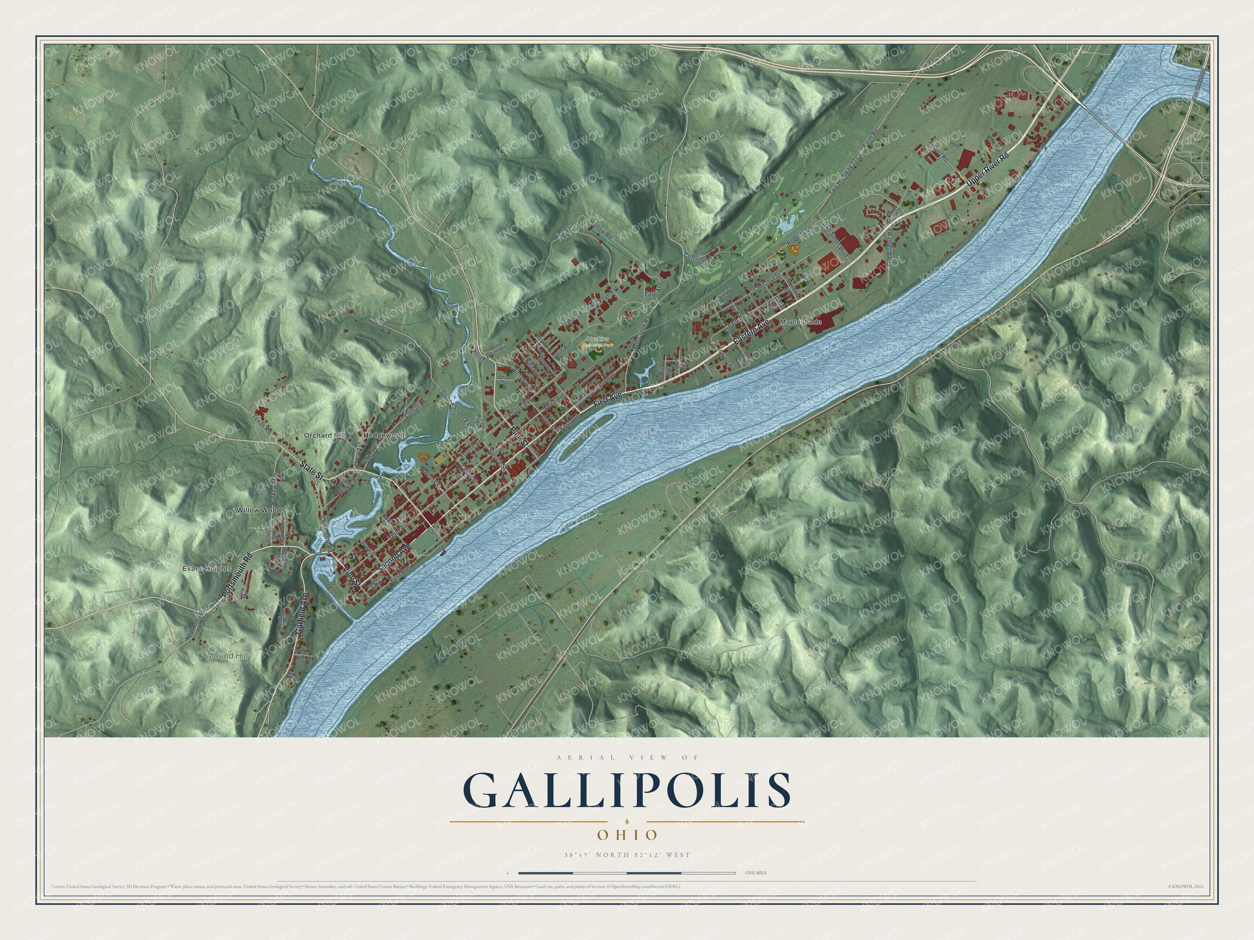
Created by KNOWOL in 2026, this Gallipolis map fits an office, a den or a living room. The hills are shaded from USGS elevation data, the river is blue, and the buildings are deep red. The title panel reads "Aerial View of Gallipolis, Ohio," with the coordinates 38°49' North, 82°12' West and a one-mile scale bar.
It makes a good gift for someone who grew up along the river here, a family with French or Welsh roots in Gallia County, or anyone who moved away and misses these hills. Open the preview and follow First Avenue to a street you know. Shop the Gallipolis, Ohio map.