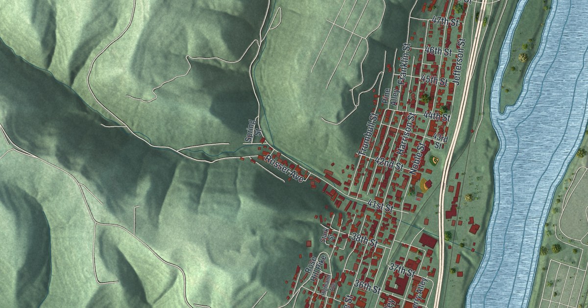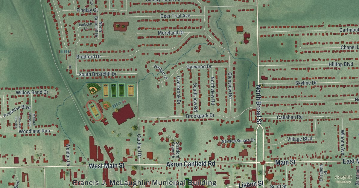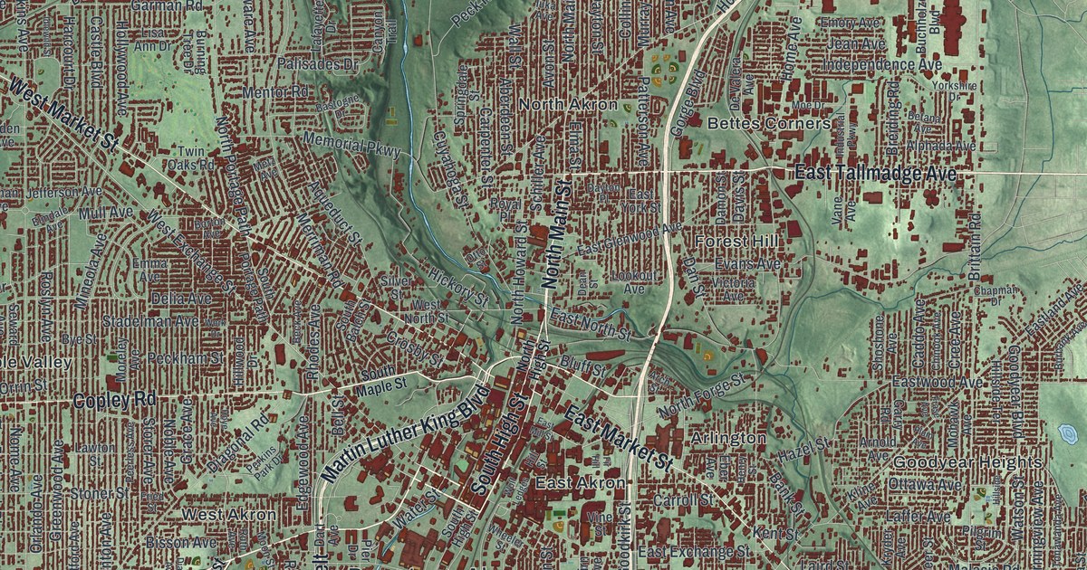
If you grew up in Akron, or still have family in Kenmore, Ellet or Goodyear Heights, this map has a lot for you to find. It's a modern aerial view of Akron in Summit County, Ohio, made from modern data with a vintage feel. Downtown Akron sits in the middle of the sheet. More than 150,000 buildings are drawn in dark red around it. Green shaded hills fill the edges, with a deep, wooded valley at the top left and a chain of lakes below the city. The rivers and lakes aren't labeled, but their blue shapes are easy to spot. Explore the print options for Akron.
Downtown Akron, Portage Path and Derby Downs
Start at Downtown Akron, in the middle of the sheet. North Main Street heads north out of downtown, and Martin Luther King Boulevard curves around its west side. Now follow East Market Street east to Goodyear Heights, where Goodyear Boulevard is printed. From there, take Seiberling Street south to Triplett Boulevard. Turn onto Massillon Road and head south to Derby Downs in the lower right, just above East Waterloo Road. Back downtown, West Market Street heads northwest. Copley Road runs west through Maple Valley, and Copley Junction is printed near the left edge. Many roads are labeled, and each dark red shape is a building, so zoom in on the preview and look for yours.
Akron's west side sits on an old carrying trail. A state historical marker at Copley Road and Diagonal Road tells the story. It says this was the carrying place between the Cuyahoga and Tuscarawas rivers. The two rivers and the trail between them made an early route from Lake Erie to the Ohio River. First Native Americans, then French and English traders and trappers, and at last American settlers carried their canoes and packs across. That trail was the Portage Path. Treaties signed in 1785, 1789 and 1795 used it as part of a boundary line. People stopped using it in 1827, when the Ohio and Erie Canal was built along the old trail.
The marker says Portage Path and Manchester Road still follow close to the old route. You can trace both on this map. North Portage Path and South Portage Path are printed on the west side. Manchester Road runs south from near downtown toward the lower left, crossing Kenmore Boulevard on the way. The Cuyahoga isn't labeled, but you can see it winding through the valley past Botzum and Sand Run Metro Park at the top left. North Portage Path also passes Stan Hywet Hall, at the corner of Garman Road. Goodyear co-founder F.A. Seiberling built the house there between 1912 and 1915. The estate isn't labeled, but Garman Road is.
For anyone from Firestone Park, Kenmore or Goodyear Heights
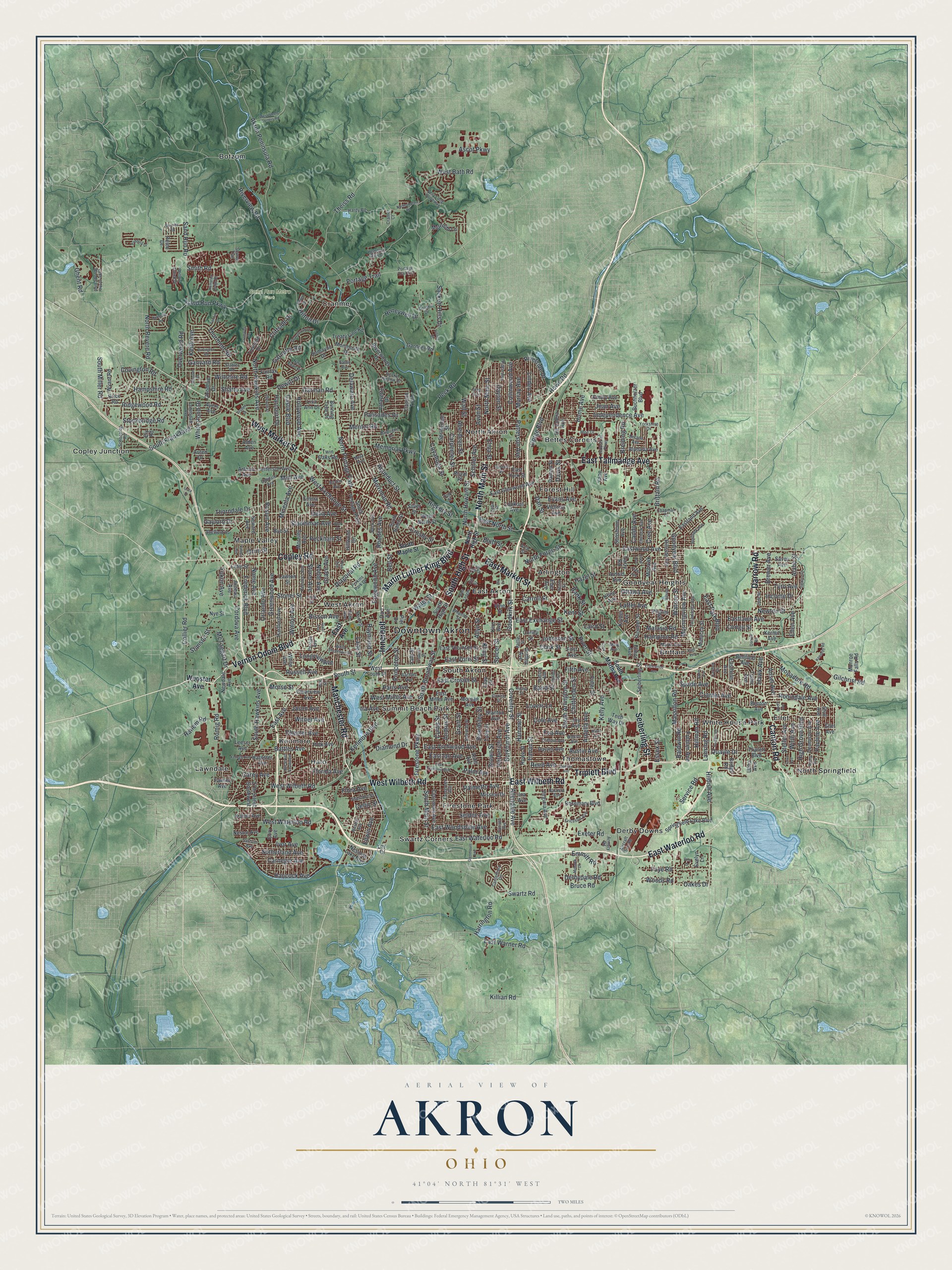
Created by KNOWOL in 2026, the Akron print puts the city in deep red on soft green hills. The shading comes from USGS elevation data, and the streets come from Census Bureau records. Lakes and rivers are pale blue. Across the title panel it says "Aerial View of Akron, Ohio," with 41°04' North 81°31' West and a two-mile scale bar.
Hang it in a den, a home office or a family room. It's a good gift for someone who grew up in Akron and moved away, or for a family that's been in the same house for years. Open the preview, find Downtown Akron and follow a road you know. Shop the Akron, Ohio map.