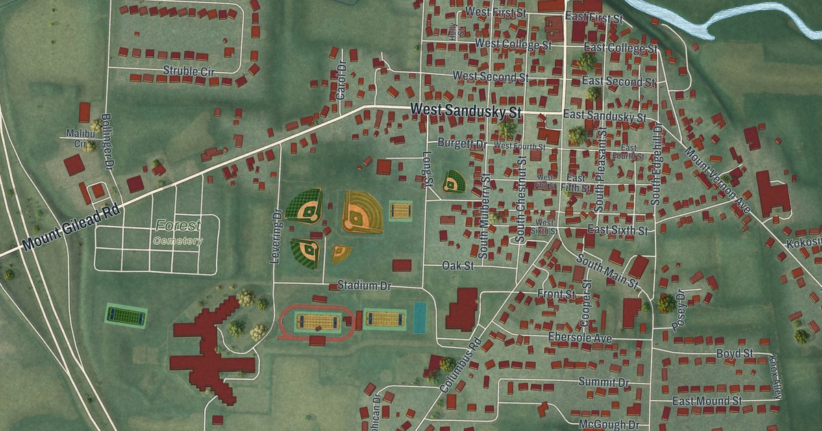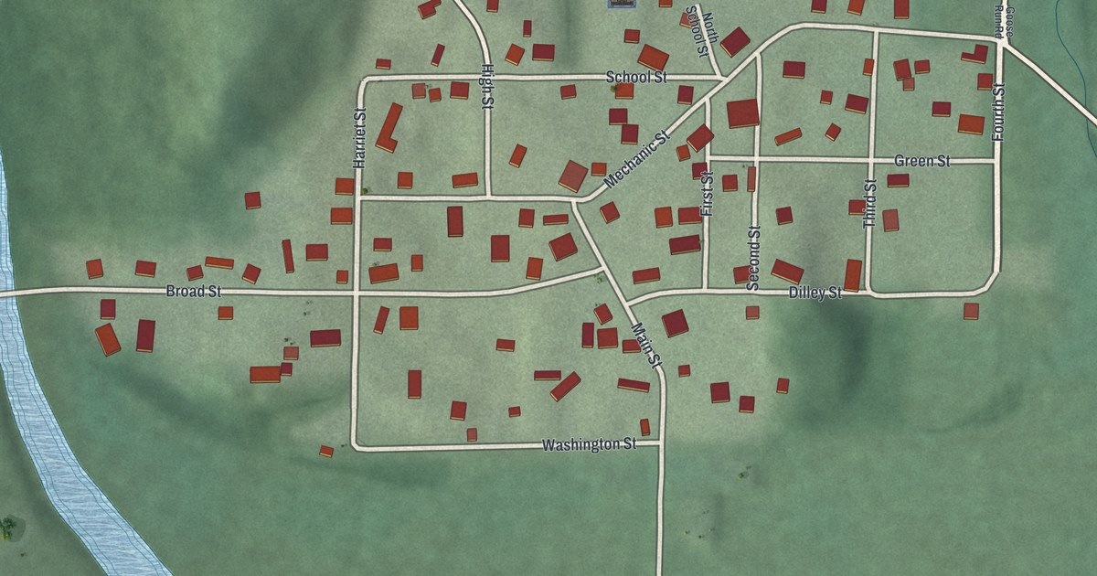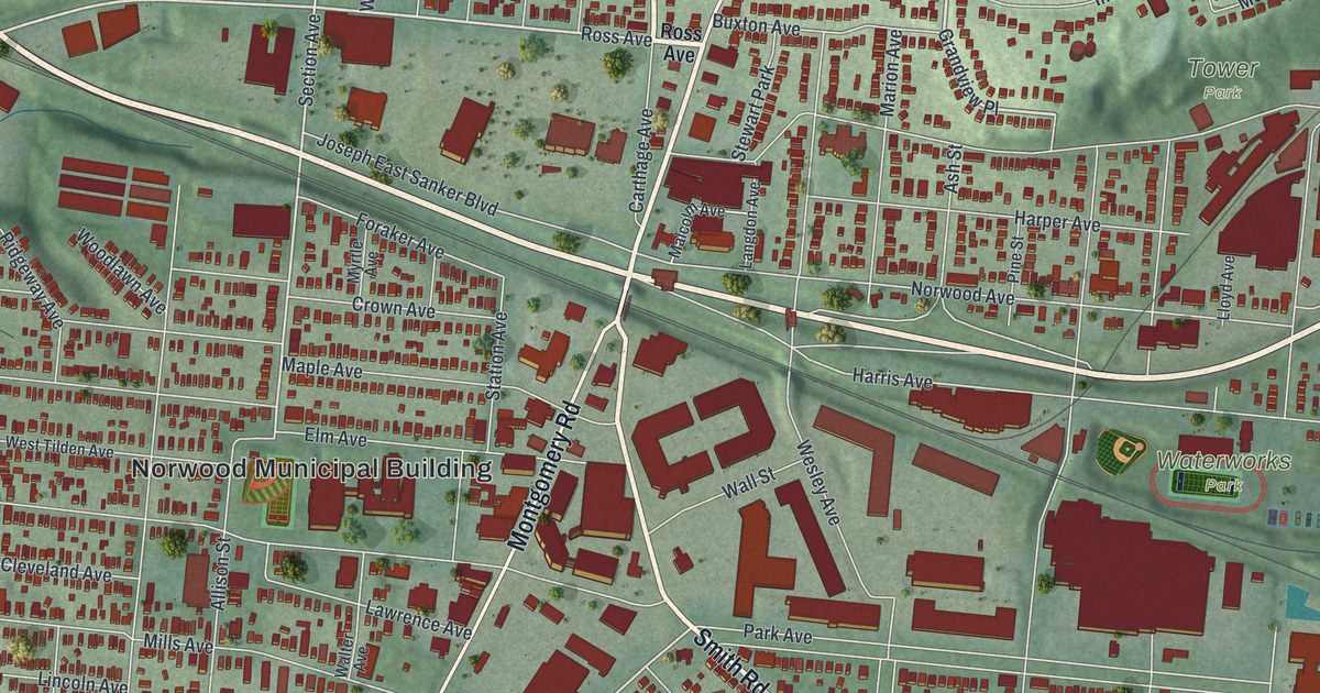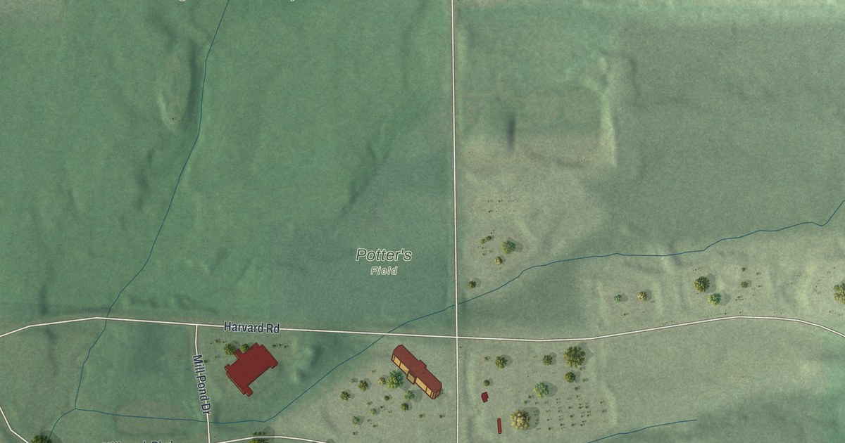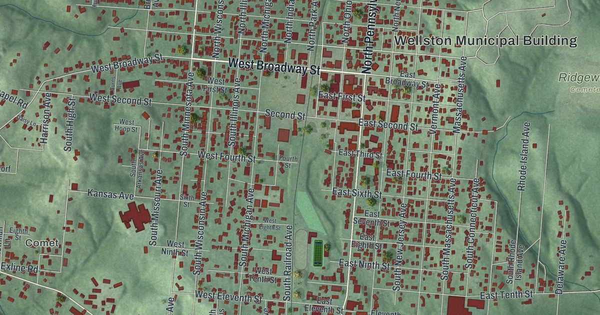
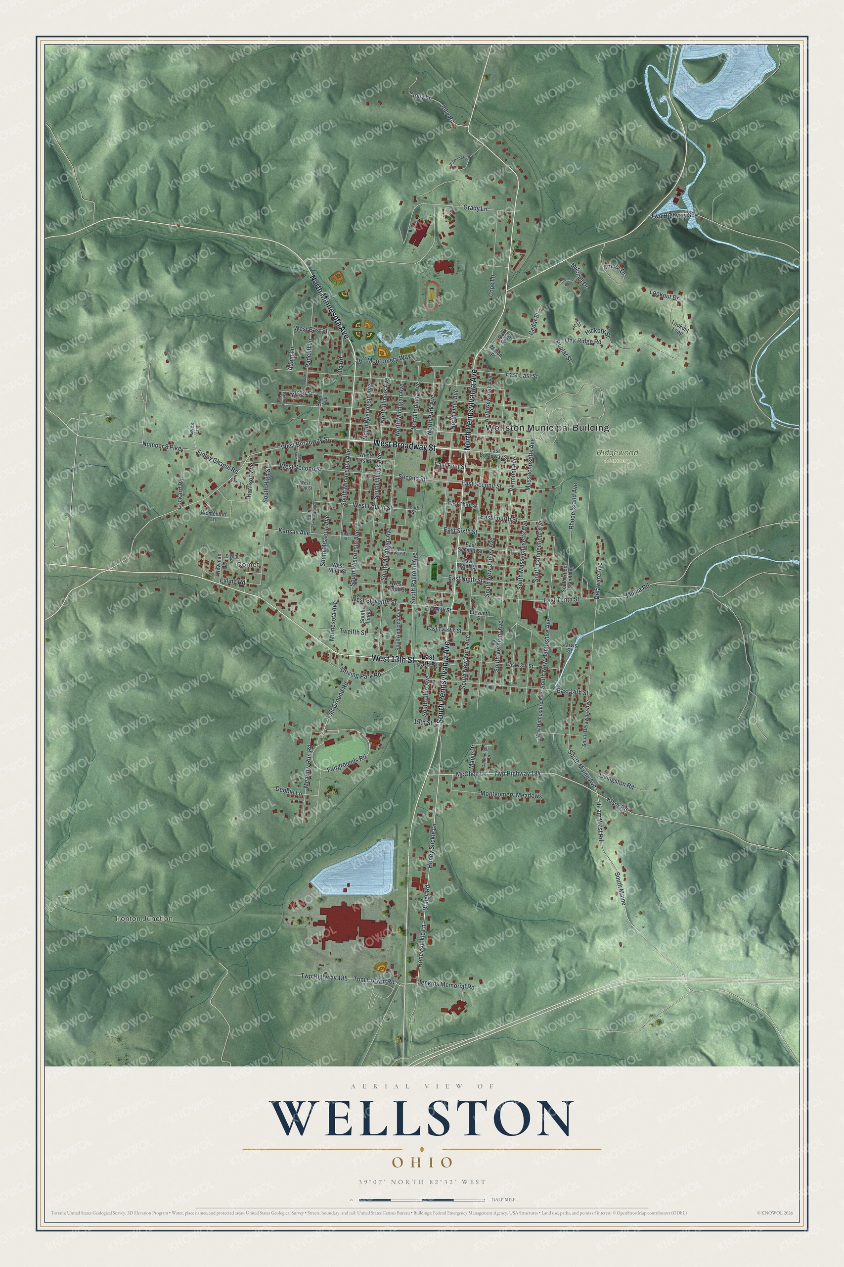
This beautifully detailed map of Wellston, Ohio was created in 2026 using aerial imagery combined with modern topographical, census, street and landmark data. It’s a one-of-a-kind view of Wellston that combines accurate data with a vintage aesthetic. The map shows every building in its true location, many of the roads carry their names, and the shaded topographic relief shows the shape of the land.
Explore an aerial view of Wellston, Ohio
On the map you’ll find Wellston Municipal Building, Ironton Junction, Comet, and Ridgewood Cemetery, along with West Broadway Street, South Pennsylvania Avenue, North Pennsylvania Avenue, North Minnesota Avenue, West 13th Street, Braley Road, Honeysuckle Lane, Second Street, and more. If you look closely you can even find your house accurately drawn in its correct location. Zoom in on the preview to look for yours.
Did you know this piece of Wellston, Ohio history?
Wellston was laid out in 1873 on land that belonged to Harvey Wells. He built a blast furnace there in 1874, and the town was incorporated two years later. The furnace and local mines kept the town thriving for years, until most of the resources ran out.
Take a closer look at the Wellston map
Street and place names on the Wellston, Ohio map
These names are printed on the map of Wellston, Ohio.
Places: Wellston Municipal Building, Ironton Junction, Comet and Ridgewood Cemetery.
Streets and roads: West Broadway Street, South Pennsylvania Avenue, North Pennsylvania Avenue, North Minnesota Avenue, West 13th Street, Braley Road, Honeysuckle Lane, Second Street, Vermont Avenue, South Minnesota Avenue, Honey Suckle Lane, Tom Corwin Road.
More street names, A to Z
15th Street, Adam Lane, Amber Drive, Brian Avenue, Burns Avenue, Candlelight Drive, Cedar Street, Cope Lane, Daisy Lane, Debbie Lane, Delaware Avenue, Driving Park Road, East 13th Street, East 14th Street, East Broadway Street, East East Street, East Eighth Street, East Eleventh Street, East First Street, East Fourth Street, East Ninth Street, East Second Street, East Seventh Street, East Sixth Street, East Tenth Street, East Third Street, East Twelfth Street, Eighth Street, Eleventh Street, Elm Street, Exline Road, Fair Ground Road, Fairgrounds Road, Finley Chapel Road, Fourth Street, Grady Lane, Harrison Avenue, Hayes Lane, Hickory Street, Hiram West Road, Jarvis Street, Jason Street, Jeff Montomery Way, Jenkins Memorial Road, Jolly Lane, Jolly Road, Kansas Avenue, Kisor Road, Livingston Road, Lockard Road, Lookout Drive, Lookout Loop, Maple Drive, Massachusetts Avenue, McGhee Lane, Meadow Run Road, Milton Place, Minnesota Avenue, Mitchell Drive, Montgomery Meadows, Mulga Road, New Hampshire Avenue, Newman Lane, North Illinois Avenue, North Indiana Avenue, North Michigan Avenue, North New York Avenue, North Ohio Avenue, North Park Avenue, North Wisconsin Avenue, Number 8 Pike, Oak Ridge, Oak Ridge Road, Old Road, Plummer Lane, Poplar Street, Radcliff Lane, Radcliff Street, Rhode Island Avenue, Sixth Street, South Arkansas Avenue, South Connecticut Avenue, South Delaware Avenue, South High Street, South Illinois, South Illinois Avenue, South Indiana Avenue, South Maine, South Maine Avenue, South Massachusetts Avenue, South Michigan Avenue, South Missouri Avenue, South New Hampshire Avenue, South New Jersey Avenue, South New York Avenue, South Ohio Avenue, South Railroad Avenue, South Rhode Island Avenue, South Vermont Avenue, South Wisconsin Avenue, Tammy Lane, Twelfth Street, Twp Highway 184, Twp Highway 185, Twp Highway 384, Velma Lane, West East Street, West Eighth Street, West Eleventh Street, West First Street, West Fourth Street, West Hoop Street, West Ninth Street, West Second Street, West Tenth Street, Womeldorf Lane.
See the Wellston, Ohio map on a wall
The Wellston map as an 18 x 24 inch print in a black frame.

This beautifully detailed map of Wellston makes an attractive addition to your office, library, or den, and it can even be used to teach children the geography and history of the area. It also makes a great gift for someone who left Wellston and still calls it home. When you’re done exploring, click here to get your copy of the Wellston map.