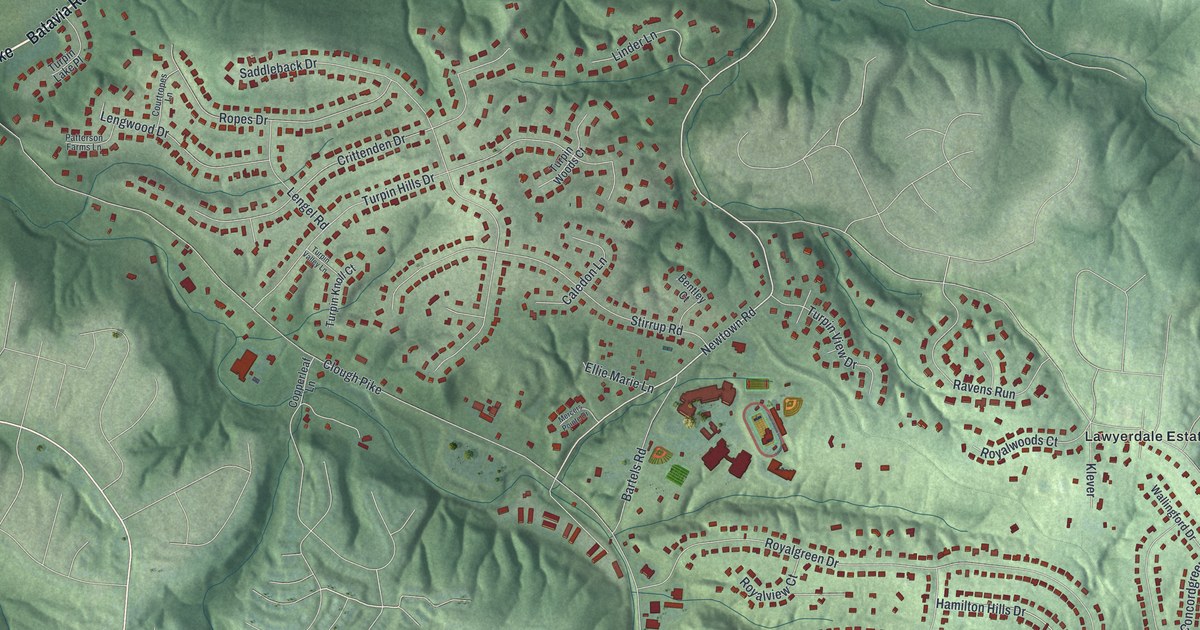
If you grew up on one of the winding streets off Clough Pike, or your family still lives up in these hills, this map was made with you in mind. It's a modern aerial view of Turpin Hills in Hamilton County, Ohio, drawn from modern data and given a vintage artistic feel. Green hills fold across the sheet, and a blue river curls down the upper left corner. Thousands of small red shapes mark the homes along Saddleback Drive, Royalgreen Drive, Hamilton Hills Drive and the streets around them.
Two pioneer homes on Clough Pike
On this map you'll find Clough Pike, Beechmont Avenue, Batavia Pike, Newtown Road, Hunley Road, Turpin Hills Drive, Royalgreen Drive, Hamilton Hills Drive, Saddleback Drive, Old Chapel Drive, Wolfangle Road, Elstun Road, Lawyer Road, Lawyerdale Estates, and more. Each red shape is a building, so zoom in on the preview and look for yours.
James Clark came to Anderson Township with his family in 1797. Years before, he'd been a drummer at the Battle of Yorktown in 1781. He bought land along Clough Creek. Around 1801 he built a two-story house of dressed limestone. The Remarkable Ohio marker calls it one of the oldest standing stone houses in Ohio. Clark kept busy. He taught school, ran a distillery and grew an orchard nursery. He also served as a judge and a state legislator. The house went to the Leuser family in 1864 and to the related Messmer family in 1923. Anderson Township bought it in 1995. It stands along Clough Pike, just north of Hunley Road.
The Miller-Leuser Log House
A short way along Clough Pike stands an even older home. Ichabod Benton Miller bought 440 acres in Anderson Township in 1796. He built a log house on the land around that same year. Families lived in it for more than 170 years. Then the Anderson Township Historical Society bought it in 1971. It still sits on its first site, at 6550 Clough Pike. It's one of the few buildings left from the pioneers who settled the Ohio River Valley in the late 1700s. The house is named for its first and last owners, so the Leuser name is tied to both of these old homes. It was added to the National Register in 1974.
Garard Station near Elstun Road
Near the end of Elstun Road, south of Beechmont Avenue, a marker tells the oldest story of all. It marks the site of Garard Station, the first fortified settlement in Anderson Township. John Garard and Joseph Martin led families here by flatboat from Pennsylvania. They came down the Ohio and Little Miami rivers with their livestock. They landed on December 23, 1790, and started building their fort.
A map of the hills around Clough Pike
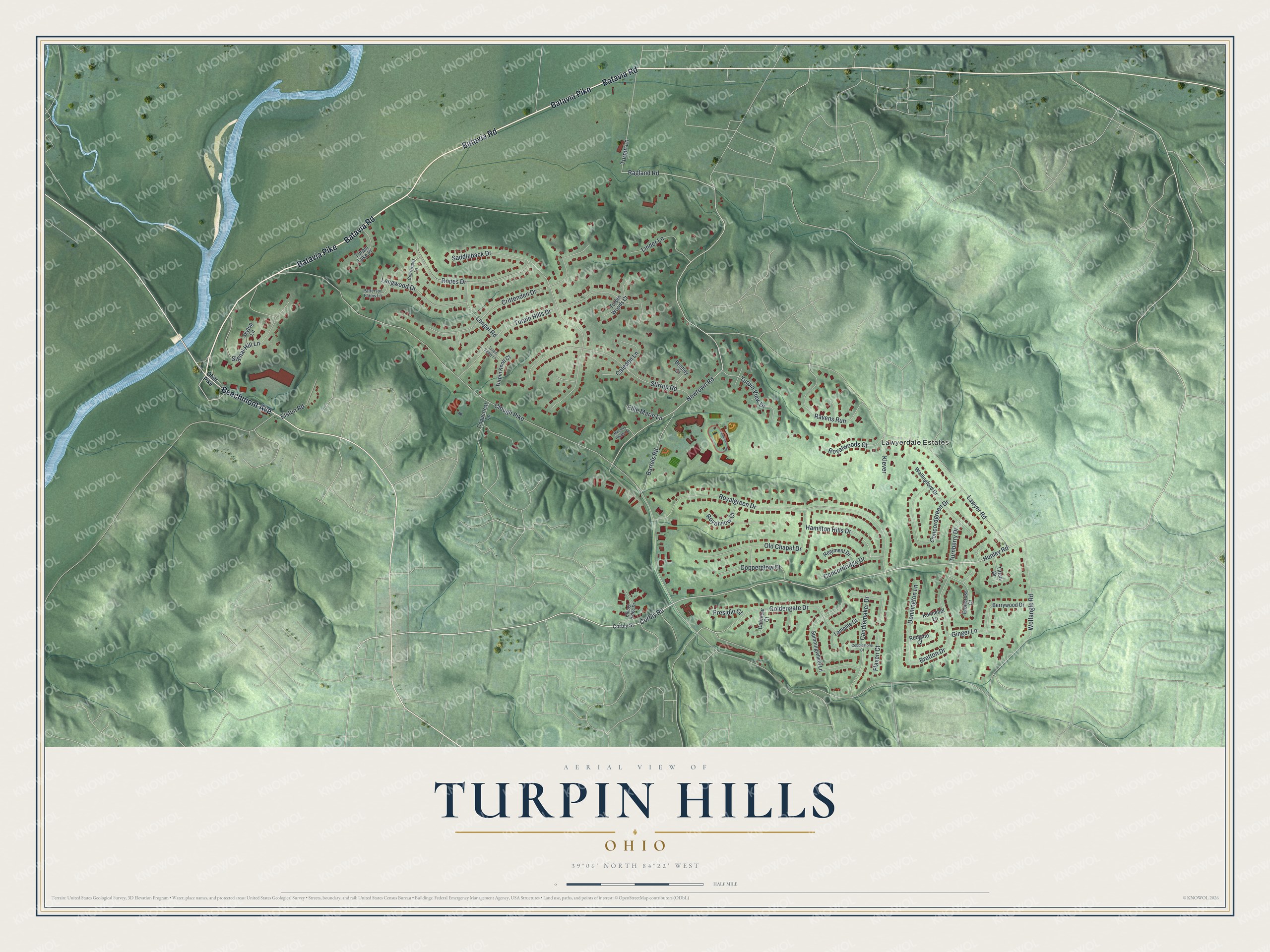
Created by KNOWOL in 2026, this print shows Turpin Hills in soft greens, with shaded hills, a blue river and small red buildings along the curving streets. The title panel reads Aerial View of Turpin Hills, Ohio, with 39°06' North 84°22' West printed below.
It fits well in a living room, a den or a front hall. It's a good gift for someone who grew up a short drive from the Clark Stone House, or for a family that moved away from Turpin Hills Drive or Lawyerdale Estates. Open the preview and find your own street. See sizes and frames for the Turpin Hills map.