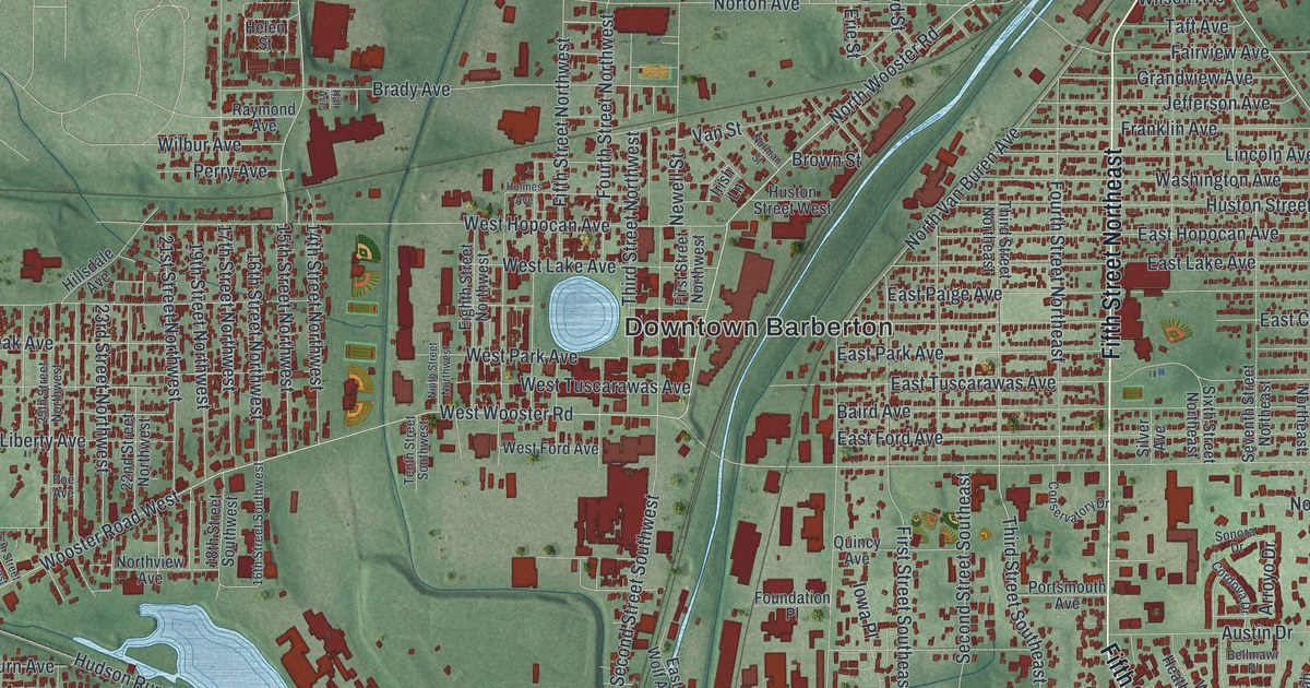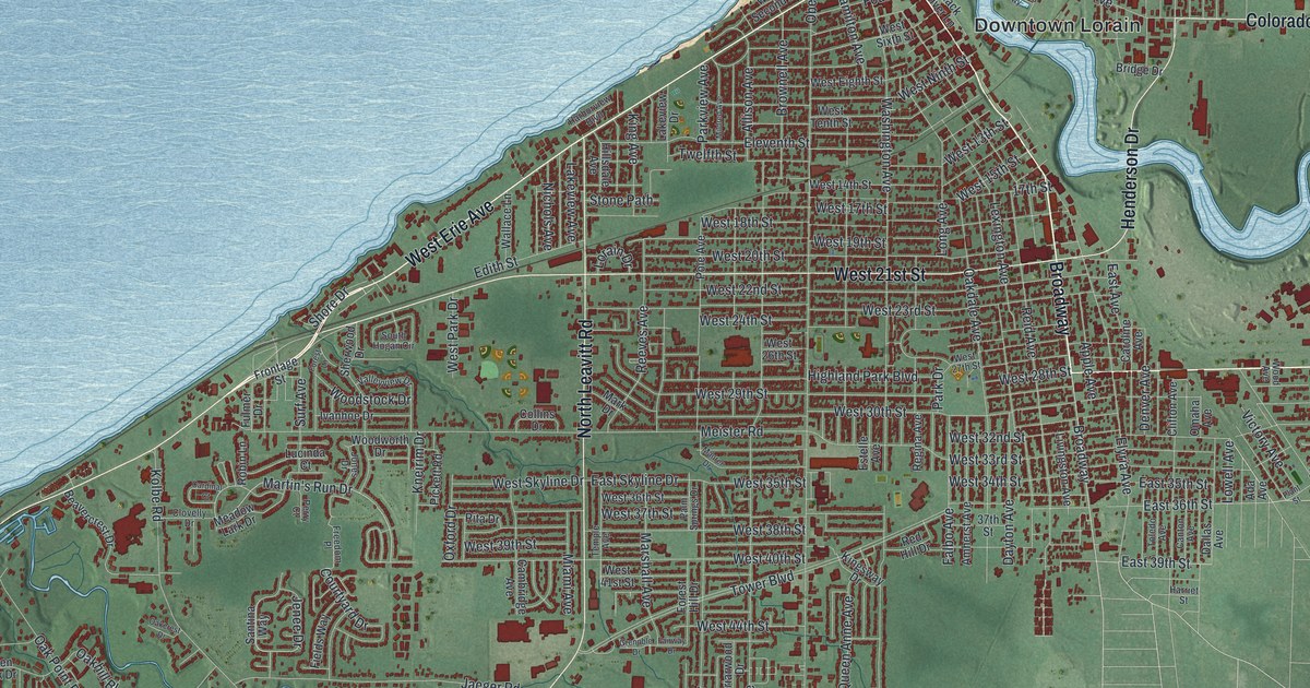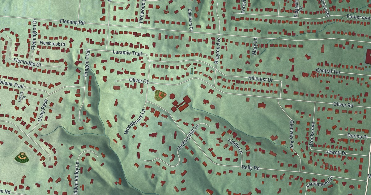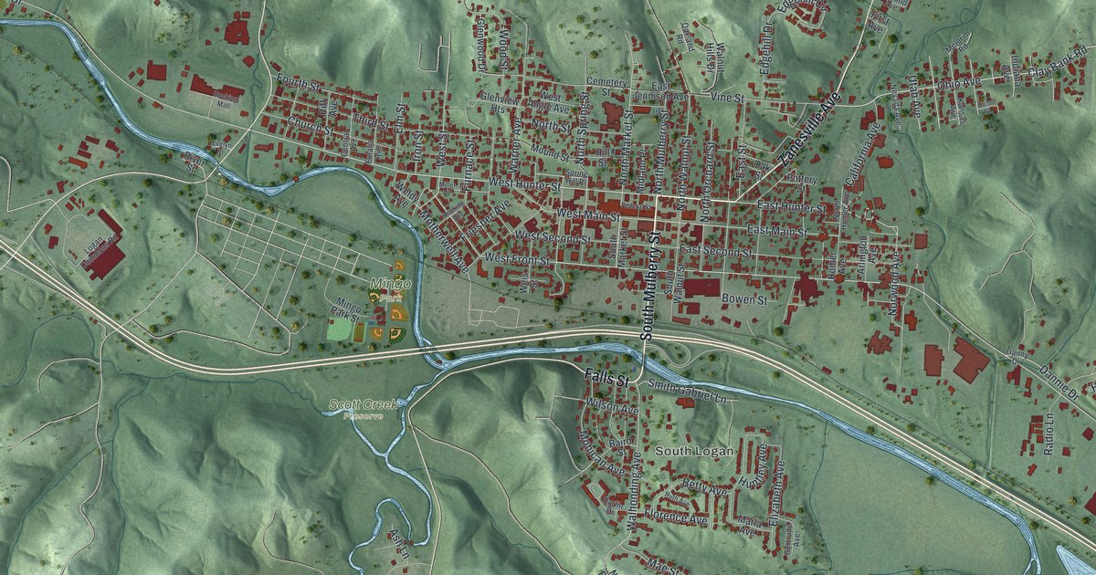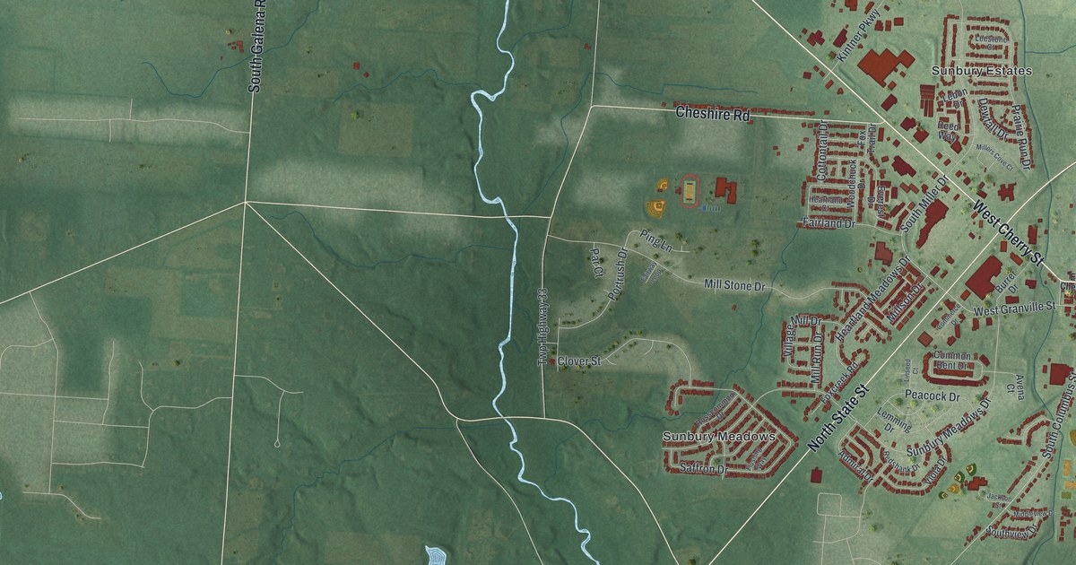
If you grew up in Sunbury, look for your old block on this print. It's a modern aerial view of Sunbury in Delaware County, Ohio, made with modern data and a vintage feel. Red buildings gather around the town's streets. Blue creeks wind through the green land around them.
Sunbury Township Hall and familiar streets
On this map you'll find Sunbury Township Hall, East Granville Street, West Granville Street, North State Street, South Columbus Street, East Cherry Street, West Cherry Street, Walnut Street, Cheshire Road, South Galena Road, Sunbury Meadows, Sunbury Estates, and more. Each red shape is a building, so zoom in on the preview and look for yours.
Sunbury's Town Hall started as a school. According to the Ohio history marker, the town set aside its square in 1816 for public use. The first two floors were built as a school in 1868. The Masons added a third floor and used it for 91 years. On the print, the label Sunbury Township Hall points to this part of town.
That building has held much more than classrooms. It's served as village offices, a jail, a fire station, and a community library. Church services were held there, and it once housed a bank. In 2002, it was renovated for a community room and village offices. One building on the square has made room for many parts of Sunbury life.
Keep Sunbury's square close to home
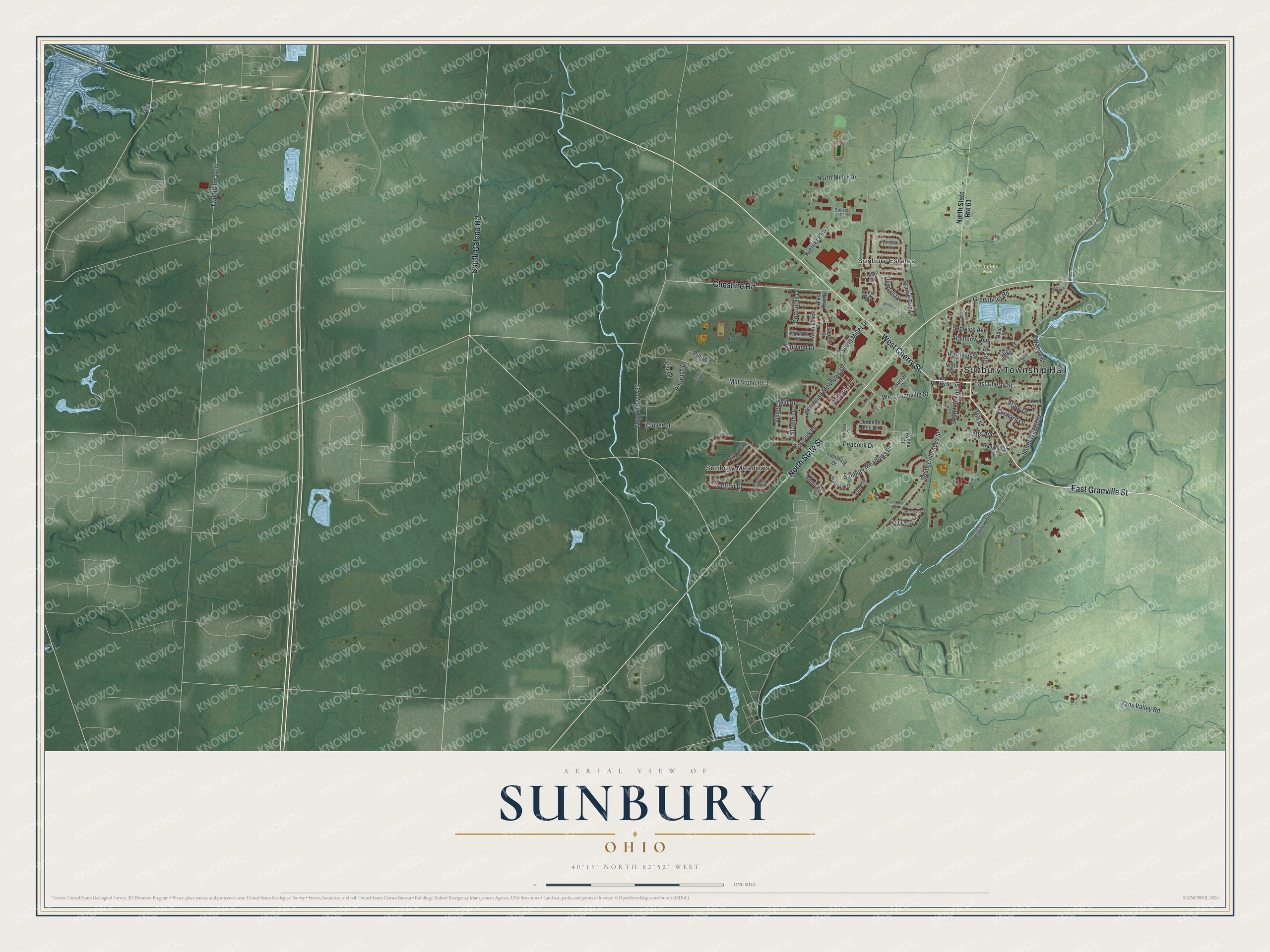
Created by KNOWOL in 2026, the print pairs green terrain with red buildings and blue water. A cream border surrounds the view. The title panel reads AERIAL VIEW OF, SUNBURY, OHIO, and 40°15' NORTH 82°52' WEST.
Hang it in a living room, home office, or entryway. It's a warm gift for someone who knows Sunbury Township Hall or has moved away from Sunbury Meadows. Open the preview to take a closer look at the streets and find your own part of home. See sizes and frames for the Sunbury map.