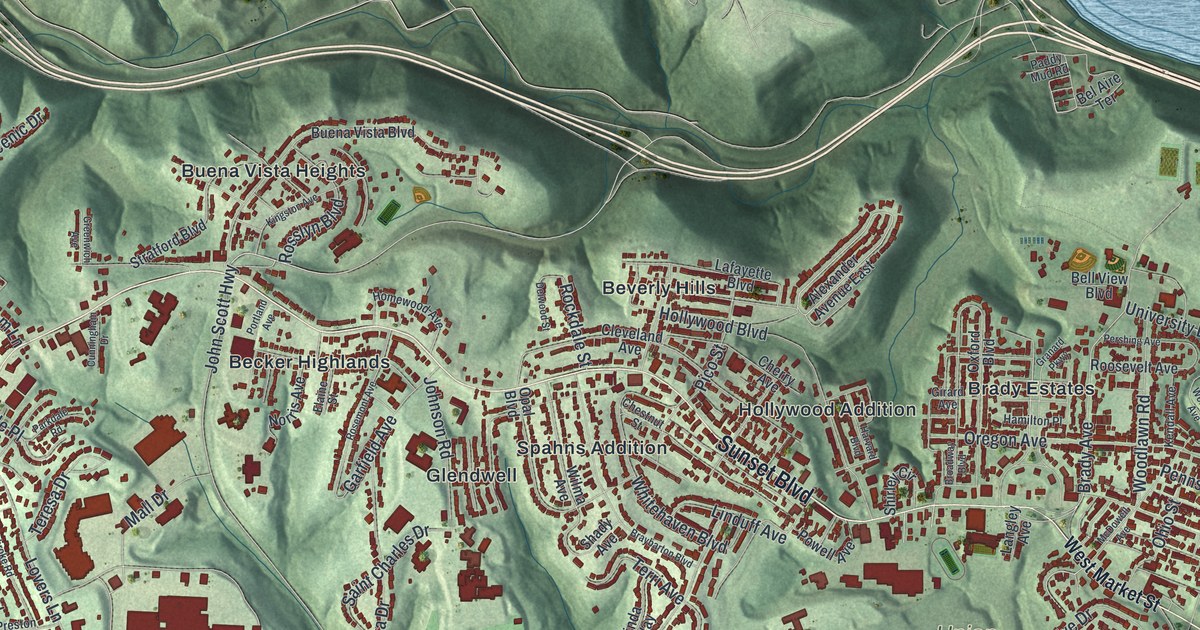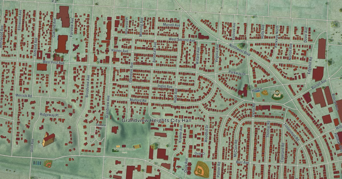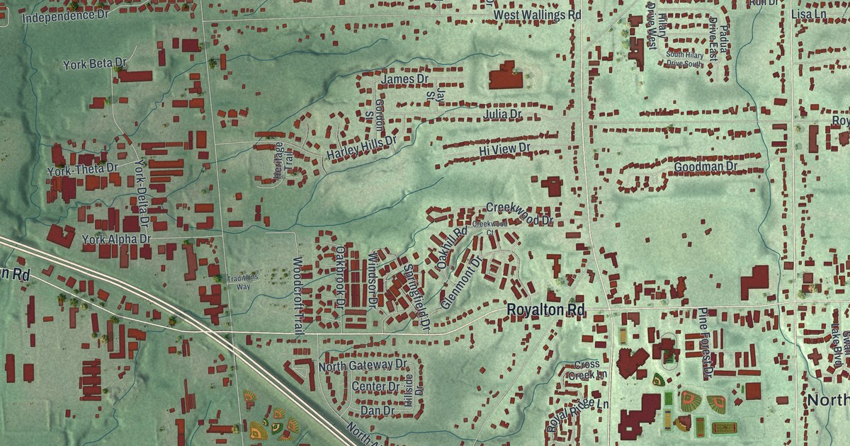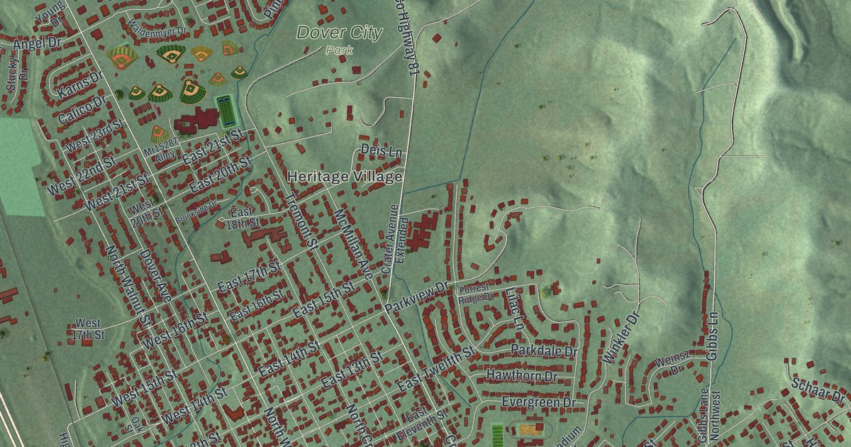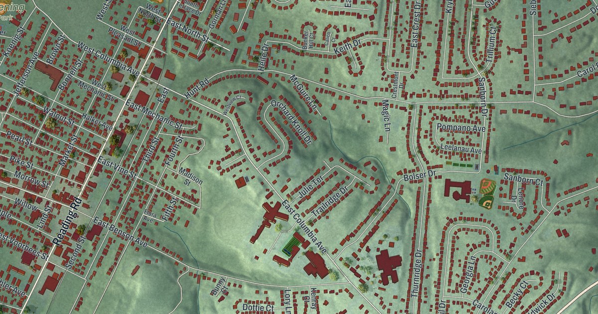
If you grew up in Reading, look for your old block on this print. It's a modern aerial view of Reading in Hamilton County, Ohio, made with modern data and a vintage feel. Red buildings fill the street grid and curve along roads in the green hills. Reading Road and the Columbia avenues give you familiar names to start with.
Reading Road and West Columbia Avenue
On this map you'll find Reading Road, West Columbia Avenue, East Columbia Avenue, West Benson Avenue, East Benson Avenue, Jefferson Avenue, Market Street, Pearl Street, East Vine Street, West Vine Street, East Galbraith Road, and more. Each red shape is a building, so zoom in on the preview and look for yours.
Reading once had a different name: Voorhees Town. The historical marker at Reading Road and West Columbia Avenue tells its story. In 1794, Abraham Voorhees brought his family here from New Jersey. He was a Revolutionary War veteran who bought 640 acres. By 1798, the town had been laid out and lots were for sale. Its street plan was officially recorded in 1804. The name became Reading at Henry Redinbo's suggestion. He'd brought his family from Reading, Pennsylvania, in 1795. On the print, find the two roads where the marker stands.
Keep Reading Road close to home
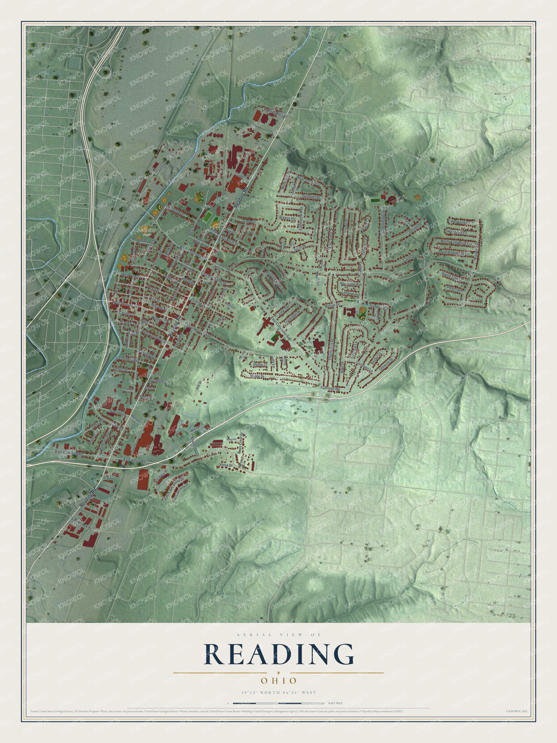
Created by KNOWOL in 2026, the print pairs shaded green hills with red buildings, blue waterways, and a cream border. The title panel reads AERIAL VIEW OF, READING, OHIO, with 39°13' NORTH 84°26' WEST below.
Hang it in a living room, home office, or entryway. It's a gift for someone who grew up near Reading Road or moved away from Reading. Open the preview and look for the streets you know. See sizes and frames for the Reading map.