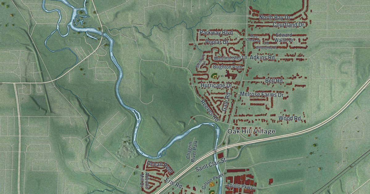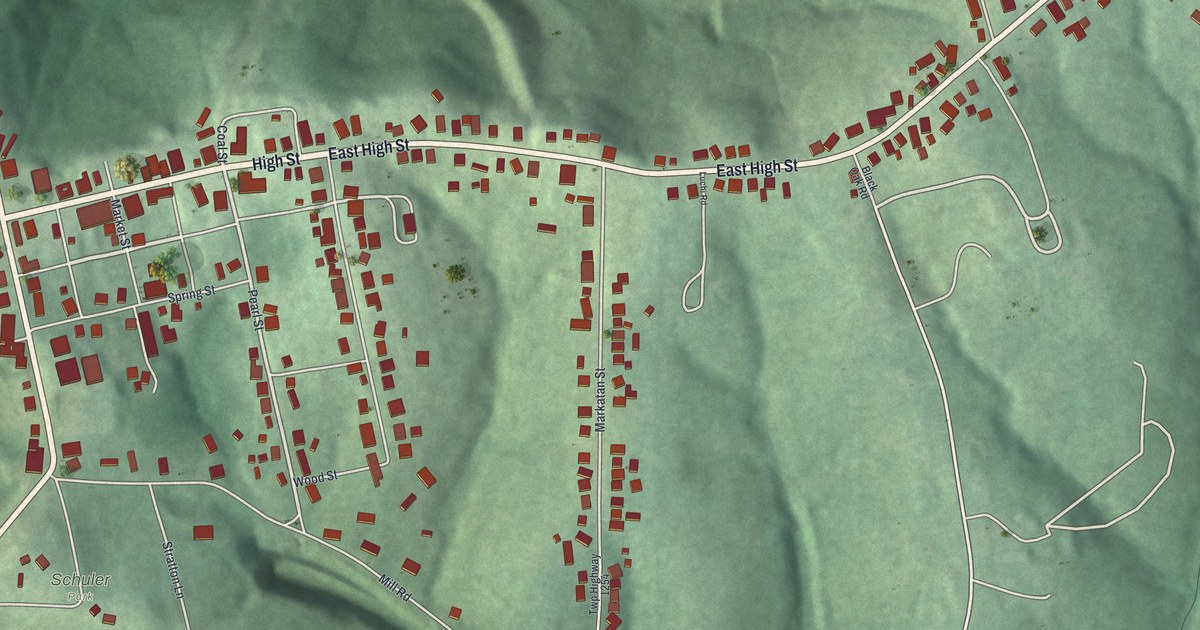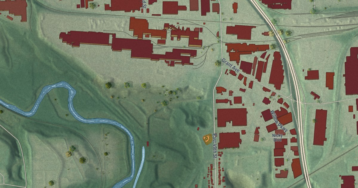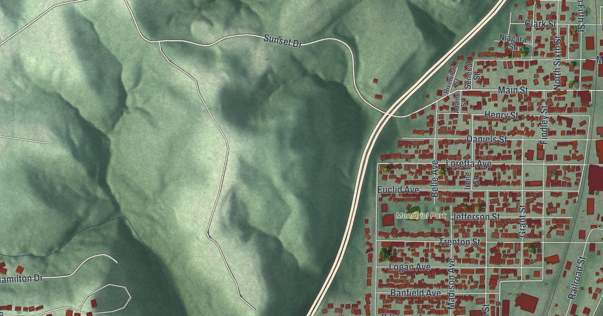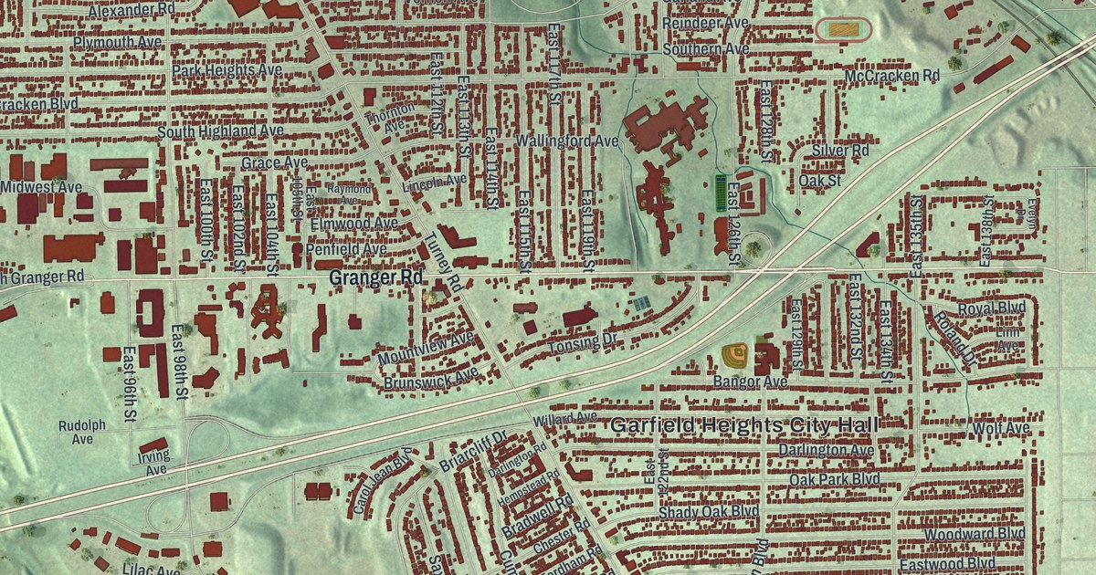
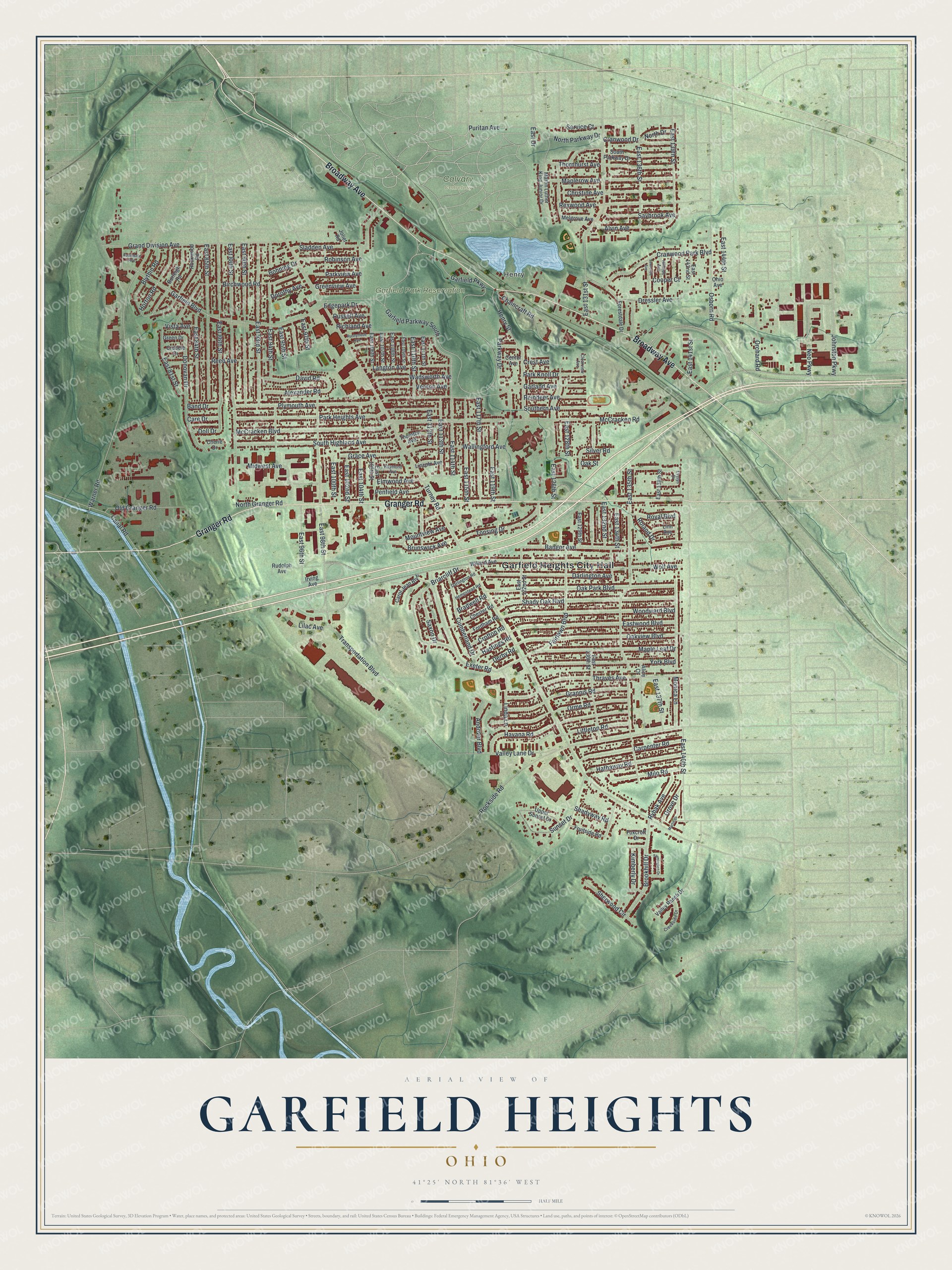
This beautifully detailed map of Garfield Heights, Ohio was created in 2026 using aerial imagery combined with modern topographical, census, street and landmark data. It’s a one-of-a-kind view of Garfield Heights that combines accurate data with a vintage aesthetic. The map shows every building in its true location, many of the roads carry their names, and the shaded topographic relief shows the shape of the land.
Explore an aerial view of Garfield Heights, Ohio
On the map you’ll find Garfield Heights City Hall, Henry, Calvary Cemetery, and Garfield Park Reservation, along with Granger Road, Broadway Avenue, Puritan Avenue, Garfield Parkway, Edgepark Drive, Garfield Boulevard, East 114th Street, East 141st Street, and more. If you look closely you can even find your house accurately drawn in its correct location. Zoom in on the preview to look for yours.
Did you know this piece of Garfield Heights, Ohio history?
The city takes its name from Garfield Park. The park was named to honor President James A. Garfield, who was born in nearby Orange Township. The community began in 1907 as the Village of South Newburgh. It adopted the Garfield name in 1919.
Take a closer look at the Garfield Heights map
Street and place names on the Garfield Heights, Ohio map
These names are printed on the map of Garfield Heights, Ohio.
Places: Garfield Heights City Hall, Henry, Calvary Cemetery and Garfield Park Reservation.
Streets and roads: Granger Road, Broadway Avenue, Puritan Avenue, Garfield Parkway, Edgepark Drive, Garfield Boulevard, East 114th Street, East 141st Street, Turney Road, McCracken Road, East 135th Street, Warner Road.
More street names, A to Z
Alexander Road, Alice Court, Alvin Avenue, Andover Boulevard, Avondale Avenue, Band Drive, Bangor Avenue, Birchwood Road, Blythin Road, Bohning Drive, Bradwell Road, Briarcliff Drive, Brookhill Drive, Brunswick Avenue, Burleigh Road, Canal Road, Care Drive, Carol Jean Boulevard, Carpenter Road, Center Avenue, Chaincraft Road, Cherie Drive, Chester Road, Christine Avenue, Clearview Avenue, Cooper Court, Cranwood Drive, Cranwood Park Boulevard, Creekside Drive, Crest Avenue, Crofton Road, Crudele Drive, Cumberland Drive, Darlington Avenue, Darlington Road, David Road, Derby Road, Doll Drive, Donovan Drive, Dorothy Avenue, Dressler Avenue, East 81st Street, East 84th Street, East 85th Street, East 86th Street, East 88th Street, East 90th Street, East 93rd Street, East 94th Street, East 95th Street, East 96th Street, East 97th Street, East 98th Street, East 100th Street, East 102nd Street, East 104th Street, East 105th Street, East 106th Street, East 107th Street, East 108th Street, East 109th Street, East 110th Street, East 111th Street, East 112th Street, East 113th Street, East 115th Street, East 117th Street, East 119th Street, East 122nd Street, East 126th Street, East 128th Street, East 129th Street, East 130th Street, East 131st Street, East 132nd Street, East 134th Street, East 136th Street, East 137th Street, East 138th Street, East 139th Street, East 140th Street, East 142nd Street, East 144th Street, East Drive, Eastwood Boulevard, Elmwood Avenue, Evelyn Drive, Exeter Road, Fairlawn Boulevard, Farmington Drive, Fordham Road, Forestdale Drive, Foxcroft Drive, Fruitside Road, Garfield Parkway South, Garland Avenue, Grace Avenue, Grand Division Avenue, Grannis Road, Green Drive, Greenview Avenue, Grove Drive, Hastings Road, Hathaway Road, Havana Road, Hempstead Road, Henry Street, Hillside Avenue, Horton Road, Irving Avenue, Johnston Parkway, Joliet Road, Kimberly Drive, Langton Avenue, Lawrence Avenue, Lilac Avenue, Lincoln Avenue, Linda Lane, Linn Avenue, Littleton Road, Maple Leaf Drive, Maplerow Avenue, Martin Drive, Martin Luther King Junior Drive, McCracken Boulevard, Melgrove Avenue, Midwest Avenue, Milo Road, Monica Lane, Mountview Avenue, Neo Parkway, North Drive, North Granger Road, North Parkway Drive, Oak Park Boulevard, Oak Street, Oakview Boulevard, Ohio Avenue, Old Granger Road, Orchard Road, Orme Road, Osborn Road, Park Heights Avenue, Park Knoll Drive, Parkview Avenue, Parkway Drive, Penfield Avenue, Plymouth Avenue, Raymond Avenue, Reed Avenue, Reindeer Avenue, Rexwood Avenue, Richland Avenue, Robinson Avenue, Rockside Road, Rockwood Road, Roland Drive, Royal Boulevard, Rudolph Avenue, Runnymede Avenue, Russell Avenue, Rybak Avenue, Saxon Drive, Saybrook Avenue, Service Court, Shady Oak Boulevard, Shadyway Road, Sherwood Circle, Silver Road, Sladden Avenue, Southern Avenue, South Highland Avenue, South Parkway Drive, Sunset Drive, Thornhurst Avenue, Thornton Avenue, Thraves Avenue, Tonsing Drive, Transportation Boulevard, Upper Sunset Drive, Valley Lane Drive, Valley Ranch Drive, Vernon Avenue, Vista Avenue, Wadsworth Avenue, Wallingford Avenue, Willard Avenue, Wolf Avenue, Woodward Boulevard, York Boulevard.
See the Garfield Heights, Ohio map on a wall
The Garfield Heights map as an 18 x 24 inch print in a black frame.

This beautifully detailed map of Garfield Heights makes an attractive addition to your office, library, or den, and it can even be used to teach children the geography and history of the area. It also makes a great gift for someone who left Garfield Heights and still calls it home. When you’re done exploring, click here to get your copy of the Garfield Heights map.