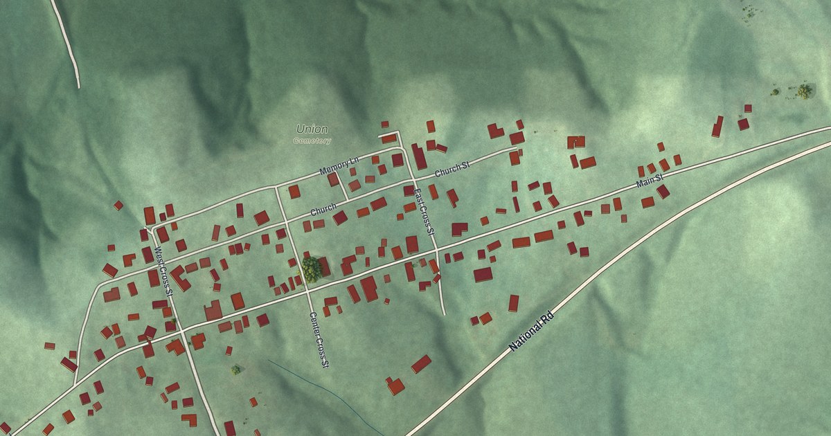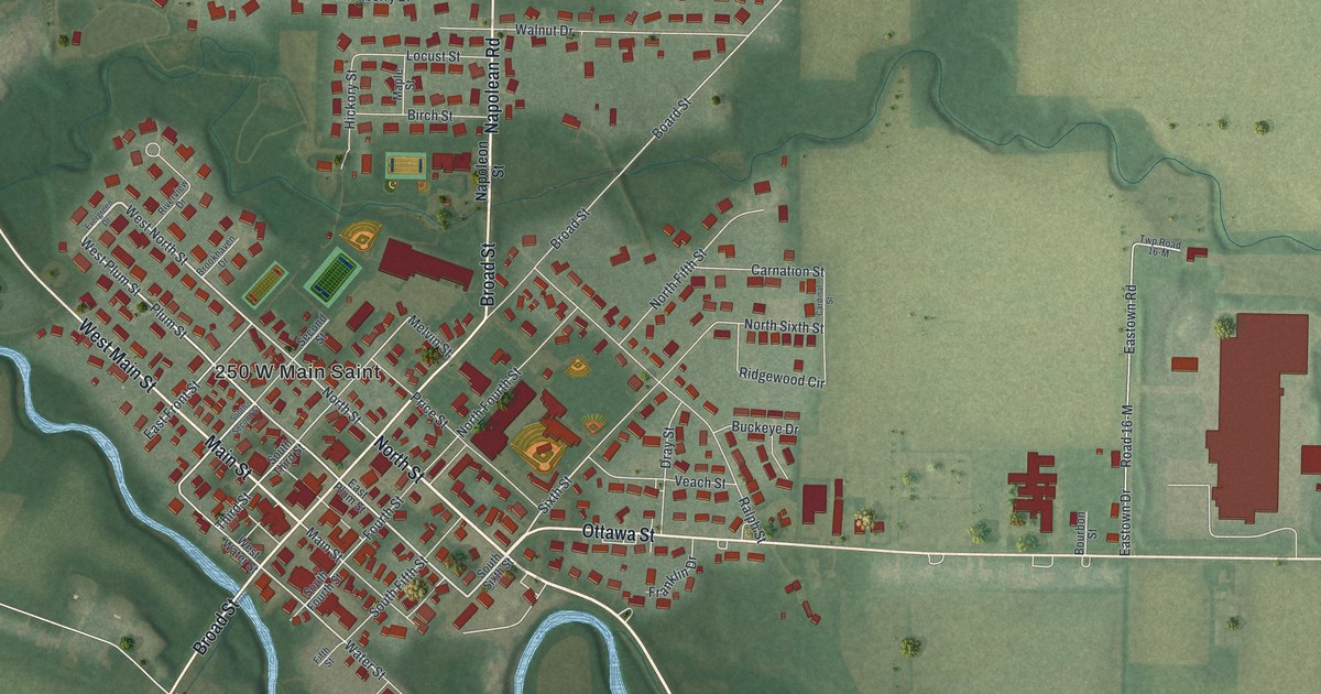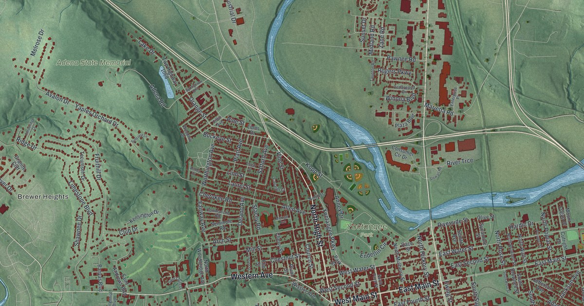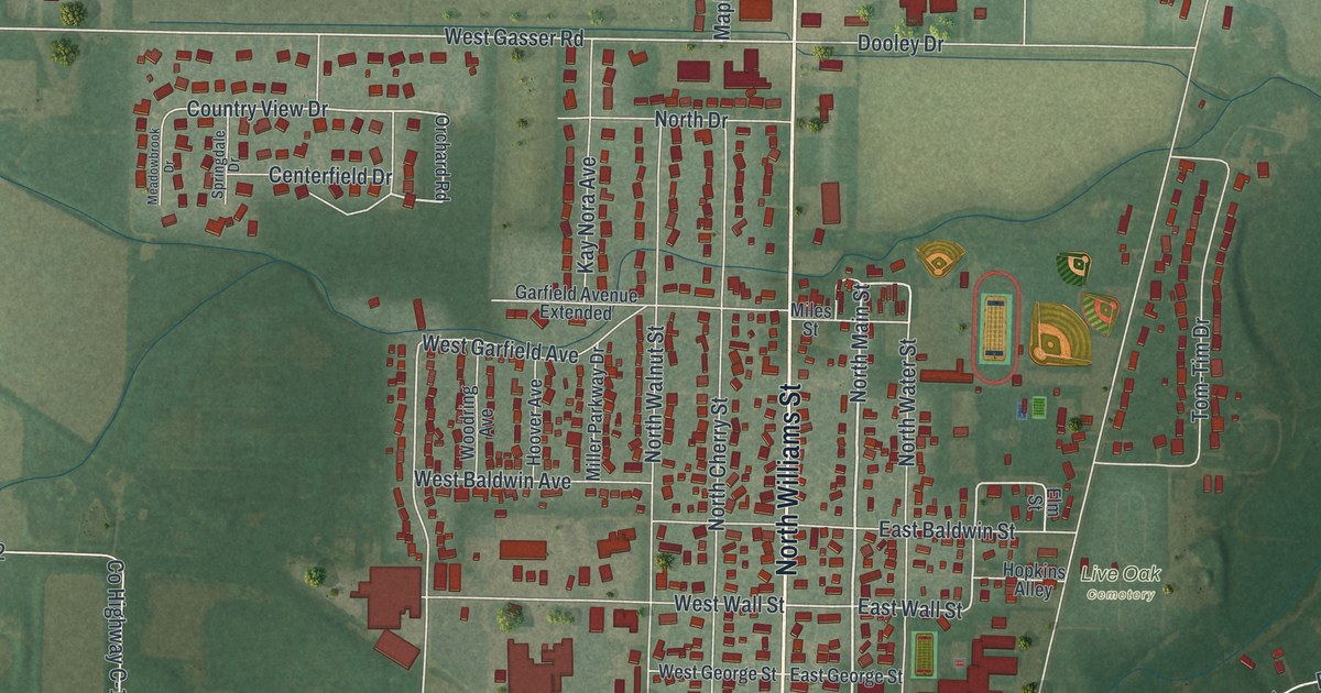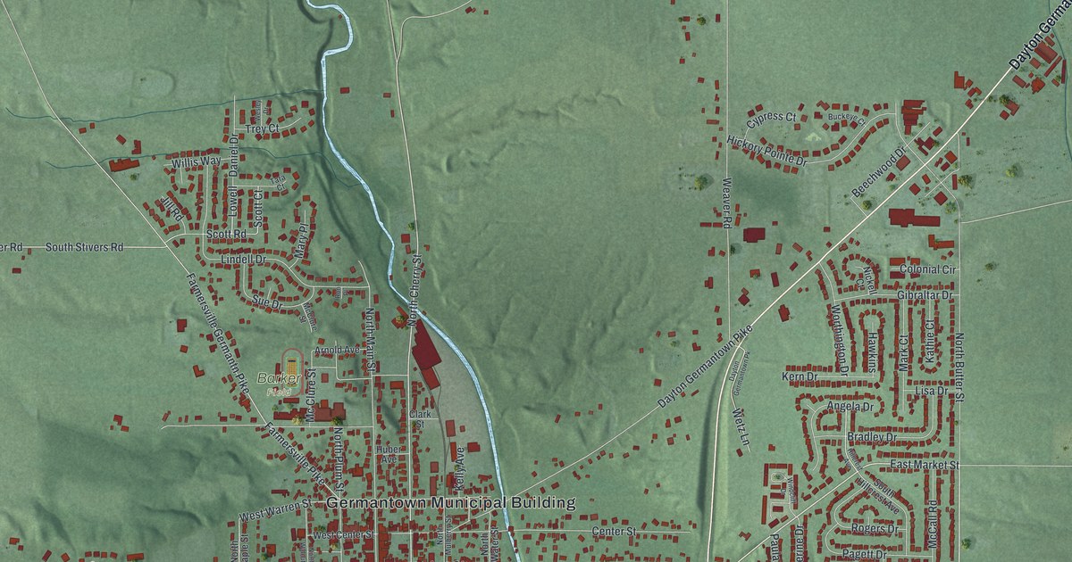
If you grew up in Germantown or still have family near Market Street, this map is for you. It's a new aerial view of Germantown in Montgomery County, Ohio, made from modern data and given a vintage look. The old town streets fill the middle of the sheet around the Germantown Municipal Building. Red shapes mark each building, and shaded green hills rise on every side. A winding blue river curls around the south and west edges of town, with two lakes tucked inside its bend.
Streets and Places Around the Germantown Municipal Building
On this map you'll find West Market Street, East Market Street, North Main Street, South Main Street, the Germantown Municipal Building, Center Street, North Water Street, West Warren Street, Dayton Germantown Pike, Farmersville Pike, Upper Miamisburg Road, Kercher Community Park, Mudlick, and more. Each red shape is a building, so zoom in on the preview and look for yours.
The Germantown Covered Bridge on Center Street
Germantown has a covered bridge that's one of a kind. The Ohio historical marker calls it an inverted bowstring truss bridge. It says the bridge is believed to be the only one of its kind still standing in the world. For 41 years it carried the Dayton Pike over Little Twin Creek. In 1911 it was moved to East Center Street, where it still crosses the same creek. It was restored in 1963, when it was 93 years old. The marker calls it a link with Ohio's early history. To find its spot, look just east of where Center Street meets North Water Street.
Named for Germantown, Pennsylvania
Henry Howe wrote about the town in his Historical Collections of Ohio. He said Germantown was named for Germantown, Pennsylvania. He put it thirteen miles southwest of Dayton, in a beautiful valley. He also said it sat among some of the most fertile land in the West. You can see the green hills around town on the map.
Germantown, from Mudlick to Dayton Germantown Pike
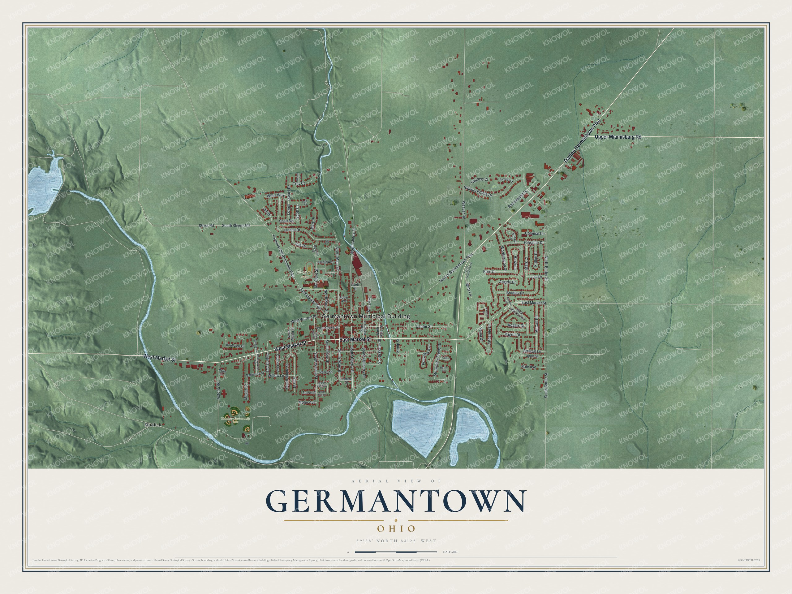
Created by KNOWOL in 2026, this print shows Germantown's streets and red building shapes over soft green hills, with the river and lakes in pale blue. The title panel reads Aerial View of Germantown, Ohio, with the coordinates 39°38' North 84°22' West.
It fits a living room, a front hall or a home office. It's a good gift for someone who moved away, or for anyone who loves the covered bridge on Center Street. Open the preview and find your street. See sizes and frames for the Germantown map.