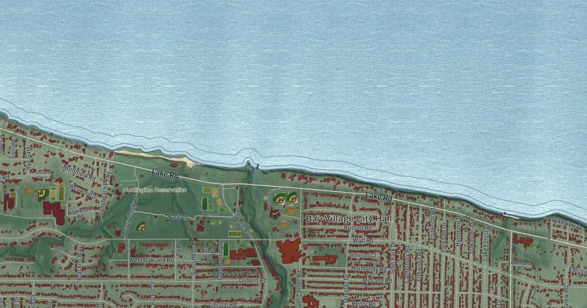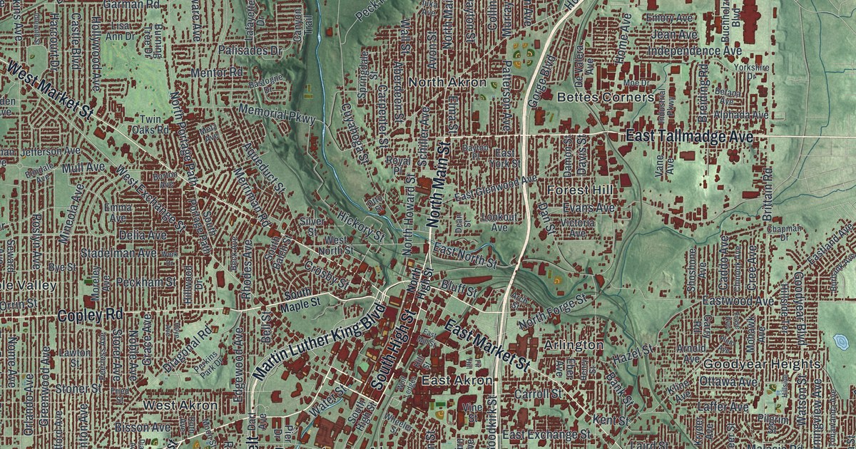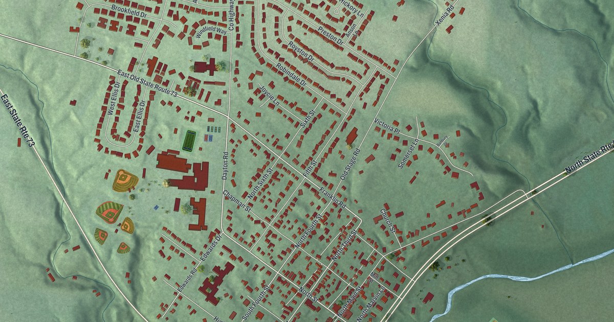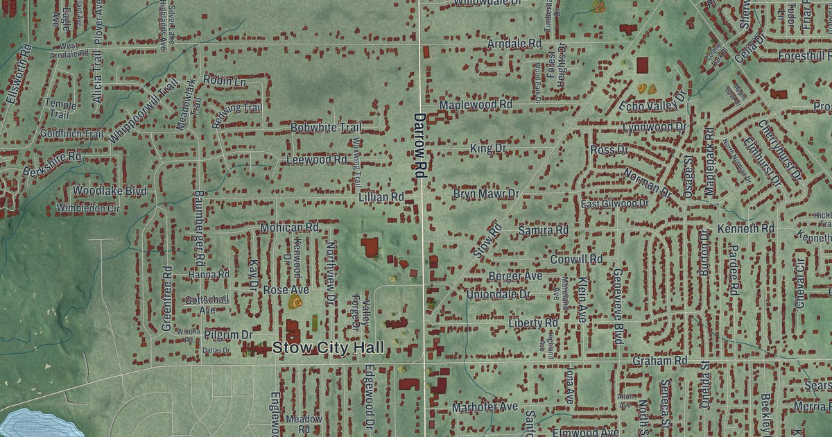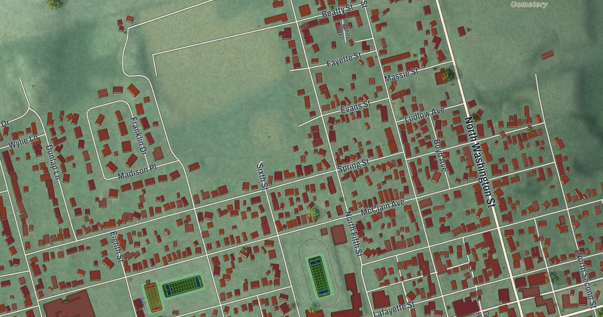
If you grew up on Jefferson Street or still have family near Greenfield City Hall, this map was made for you. It's a modern aerial view of Greenfield in Highland County, Ohio, built from modern data and given a vintage look. You'll see the whole grid of town streets, with Jefferson Street running across the middle. A blue river winds down the right side, and green hills roll out on every edge.
Greenfield streets from Mill Street to Mitchell Park
On this map you'll find Jefferson Street, North Washington Street, South Washington Street, Mill Street, McClain Avenue, North McArthur Way, Lafayette Street, Depot Street, Paint Street, Lost Bridge Road, Lovers Lane, Greenfield City Hall, Greenfield Cemetery, Mitchell Park, and more. Each red shape is a building, so zoom in on the preview and look for yours.
The Smith Tannery on Jefferson Street
The Smith Tannery is the oldest original building left in Greenfield. William Smith built it in 1821 with his son Samuel. William had fought in the Revolutionary War. The tannery was also the family's home. Two doctors were born in the tannery. Dr. Samuel M. Smith was Surgeon General of Ohio during the Civil War. Dr. William R. Smith told Abraham Lincoln in person that he'd been nominated for president in 1864. The building still stands at 103 Jefferson Street, near where Jefferson Street meets North McArthur Way.
The Smiths also belonged to the Abolition Society of Paint Valley. That group started in Greenfield in 1833. In 1836 it took a new name, the Greenfield Anti-Slavery Society. In 1844 it helped the work of Frederick Douglass. The tannery became a known stop on the Underground Railroad. The society helped many people escape slavery and reach freedom. It's said that Eliza Jane Harris, known from Uncle Tom's Cabin, was one of them. You can read more on the Ohio historical marker at the site. The Smith Tannery joined the National Register of Historic Places in 1978.
Greenfield and Jefferson Street for your wall
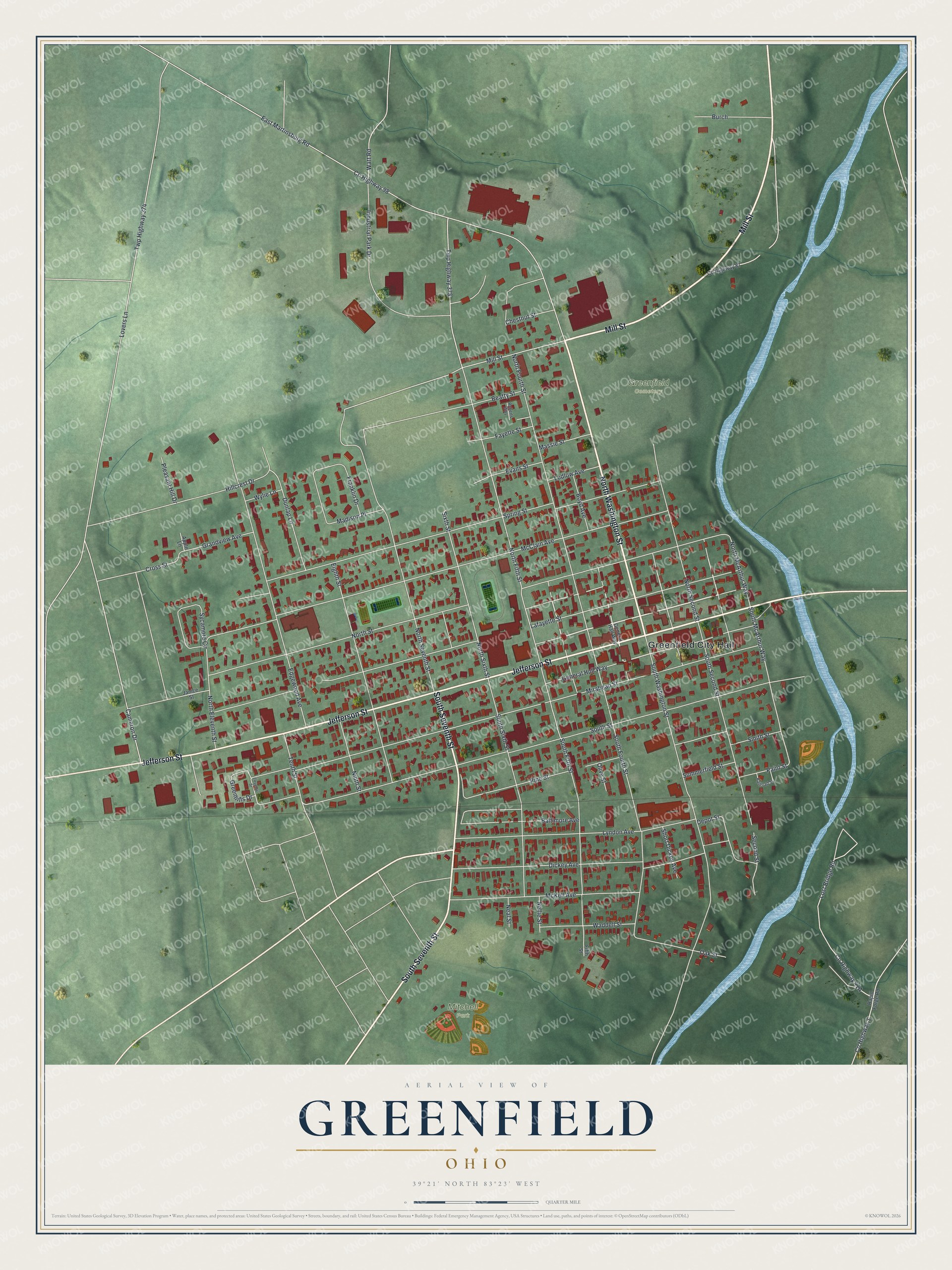
Created by KNOWOL in 2026. The print shows Greenfield from above, with red buildings set on soft green hills and a pale blue river curving along the east side. The title panel reads "Aerial View of Greenfield, Ohio" with the coordinates 39°21' North 83°23' West.
It fits a living room, a front hall or a home office. It's a good gift for anyone who grew up near Mitchell Park or still has family on Jefferson Street. It's also a way to keep Greenfield close after a move away. Open the preview and find your street. See sizes and frames for the Greenfield map.