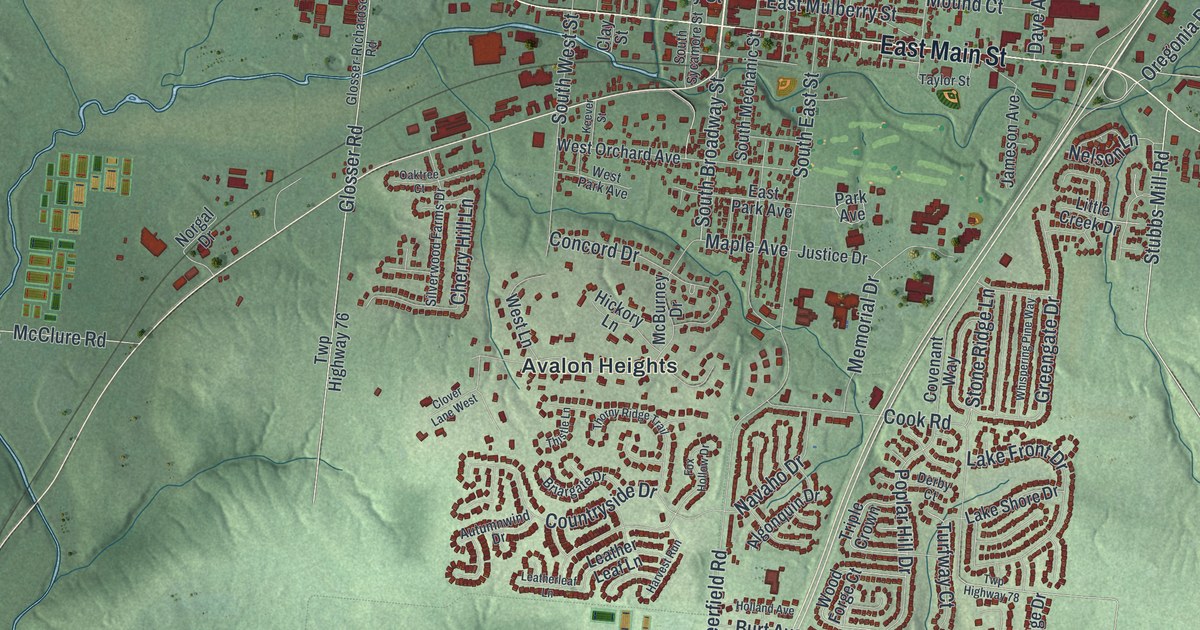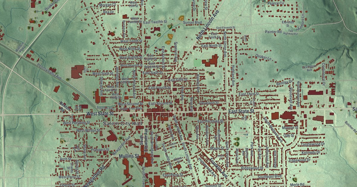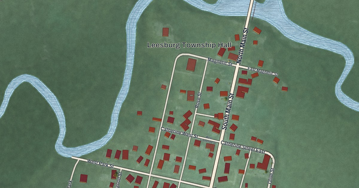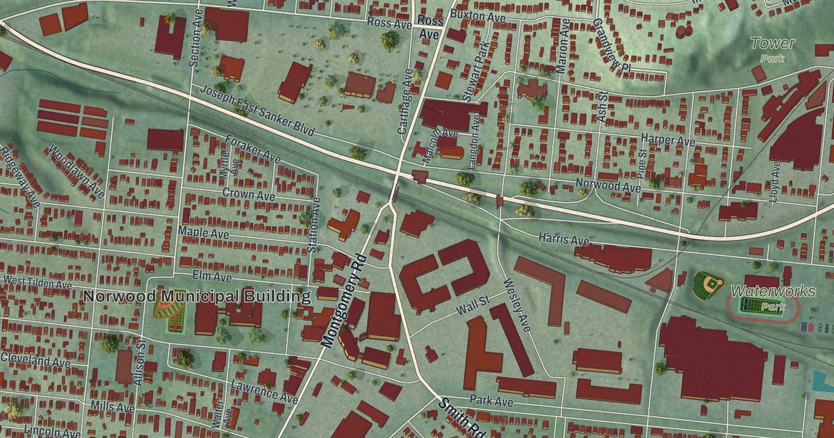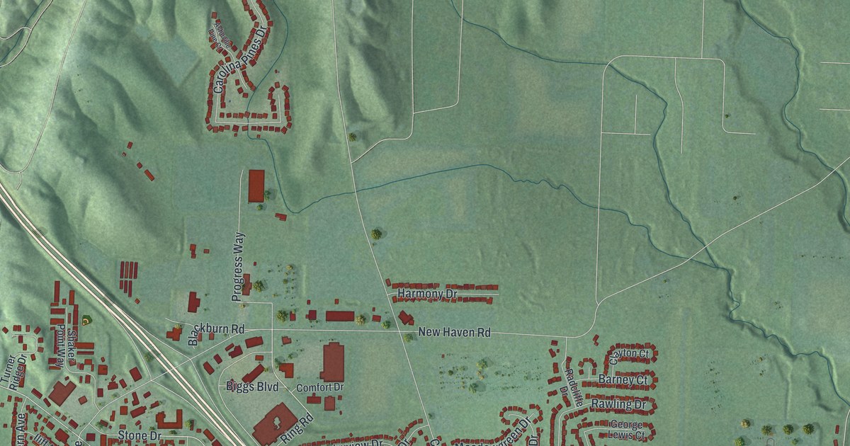
If you grew up in Harrison, or you still drive Harrison Avenue to work or school, this map shows the town you know. It's a new aerial view of Harrison in Hamilton County, Ohio, drawn from modern data and finished with a vintage look. Green hills fold across the top of the sheet. A blue river curls along the left side and the bottom, and a highway cuts across the middle on a long slant. The town's red rooftops fill the left side, with more streets spreading east toward the hills.
Harrison Avenue, Dry Fork Road and the streets around them
On this map you'll find Harrison Avenue, North State Street, South State Street, East Broadway Street, Biggs Boulevard, Park Avenue, North Walnut Street, New Haven Road, Dry Fork Road, Kilby Road, Stone Drive, Enterprise Drive, Othneil Looker Park, West Harrison, and more. Each red shape is a building, so zoom in on the preview and look for yours.
Six National Register buildings, from Roudebush Farm to the Jehu John House
Six old buildings in and near town joined the National Register of Historic Places in 1975 and 1976. The George Bennett House on Harrison Pike went on the list in May 1975. The Othniel Looker House on Marvin Road followed that June. The Jehu John House, east of town on Stone Drive, and the Eighteen Mile House were both listed that October.
Two more came in 1976. Roudebush Farm on Kilby Road was listed in June, and the Hugh Campbell House was added that November. The Bennett House is at 10281 Harrison Pike, and Roudebush Farm is at 8643 Kilby Road. You can find Kilby Road and Stone Drive by name on the map. Othneil Looker Park is printed on the west side of town too.
A print with Kilby Road, Dry Fork Road and Harrison Avenue on it
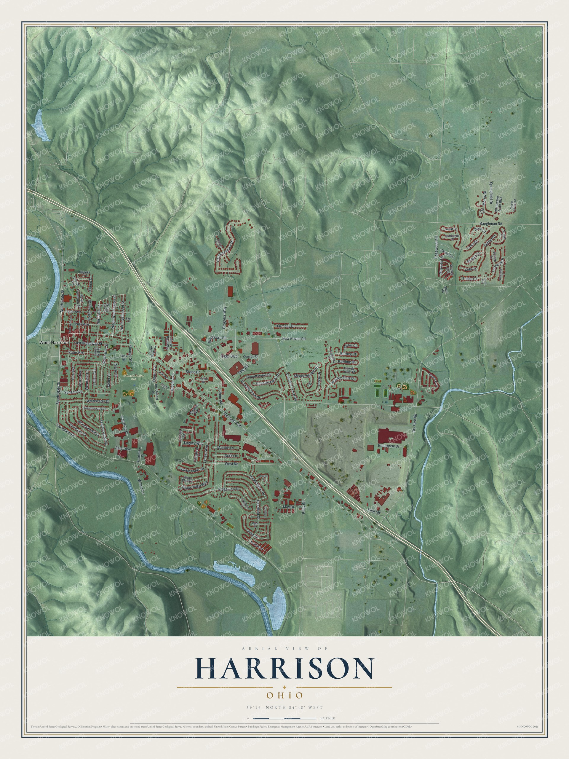
Created by KNOWOL in 2026, this print shows Harrison from above, with shaded green hills, blue water and red buildings. The title panel at the bottom reads "Aerial View of Harrison, Ohio" with the coordinates 39°16' North 84°48' West.
It fits a front hall, a family room or an office wall. It's a good gift for someone who grew up near Othneil Looker Park, or for a friend who moved away and still thinks of Harrison Avenue. Open the preview and find the streets you know. See sizes and frames for the Harrison map.