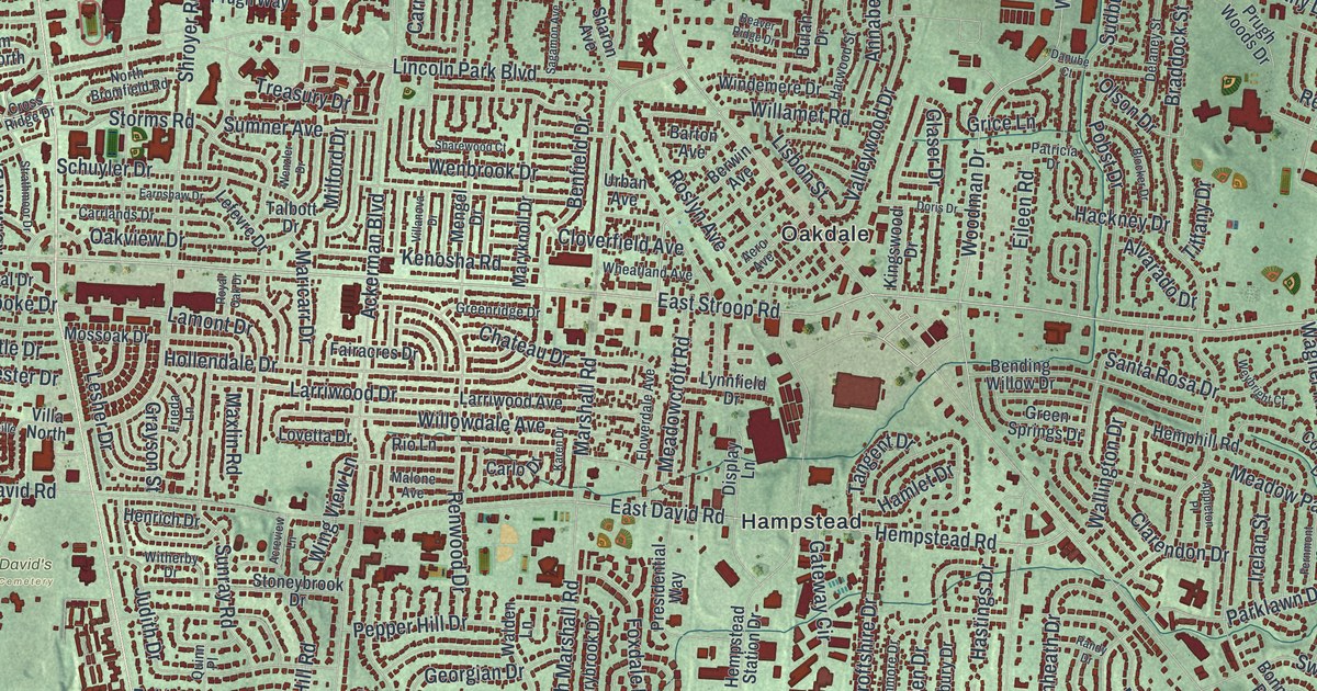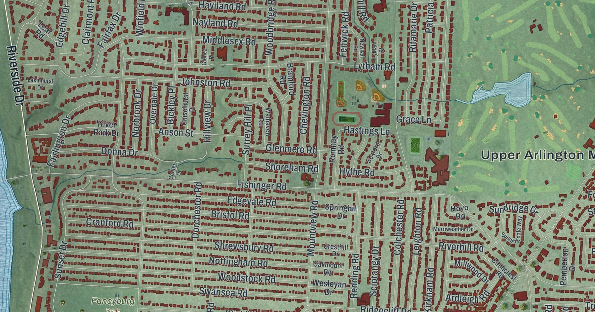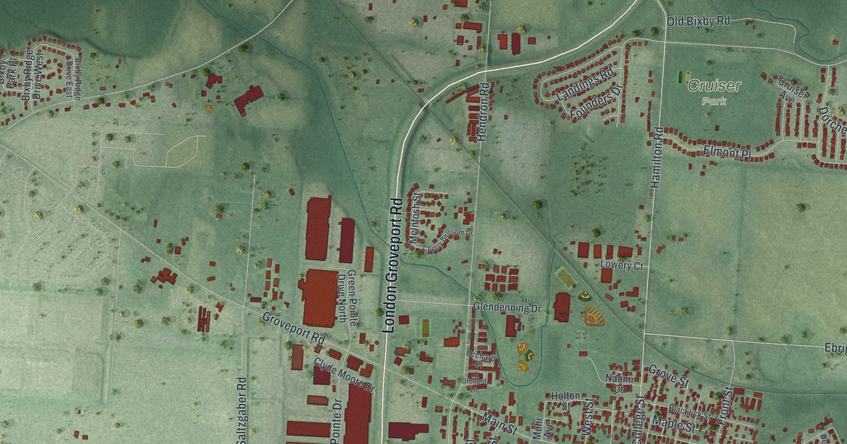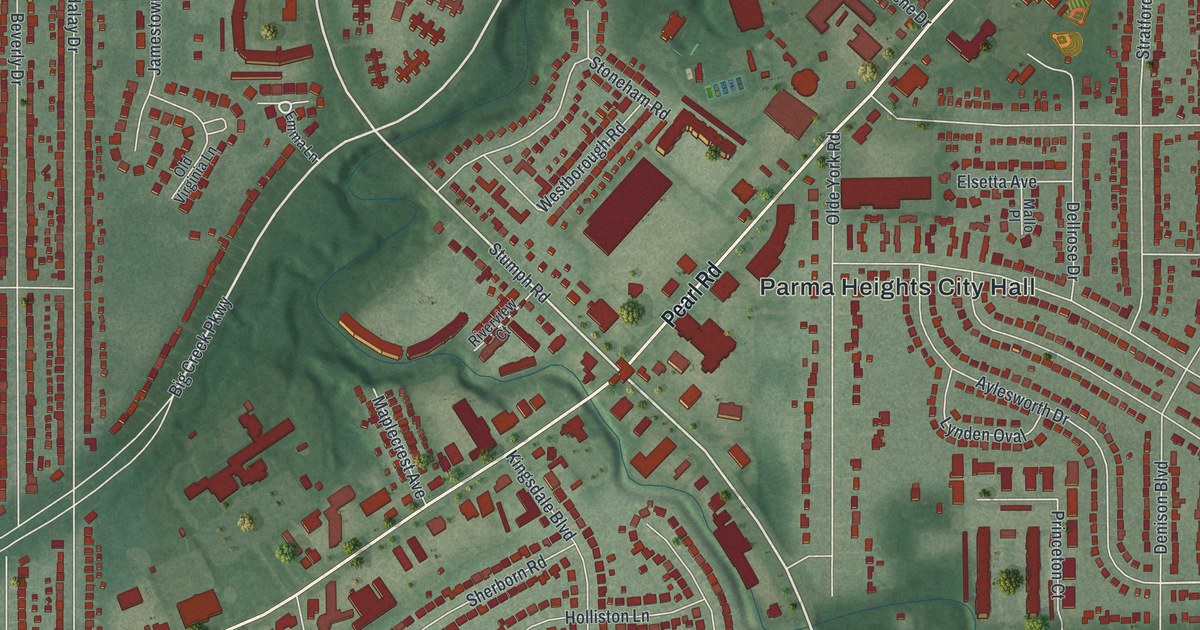
If you grew up on a street off Pearl Road or went to Holy Name High School, you'll know this place from above. It's a new aerial view of Parma Heights in Cuyahoga County, Ohio, made from modern data and given a vintage feel. Each building is a small red shape. Pearl Road crosses the sheet on a slant, and a deep green valley follows Big Creek Parkway.
The First Brick Rural Road Marker on Pearl Road
On this map you'll find Pearl Road, York Road, Snow Road, West 130th Street, Big Creek Parkway, Parma Heights Boulevard, Olde York Road, Queens Highway, Greenbriar Drive, Parma Heights City Hall, Kurtz Park, Stroud Park, Nathan Hale Park, and more. Each red shape is a building, so zoom in on the preview and look for yours.
Where Pearl Road meets Olde York Road, a small park holds an Ohio historical marker. Its title is "First Brick Rural Road in U.S." The corner sits on Pearl Road, not far from the Parma Heights City Hall label on the map. The marker tells how it came about. In the late 1800s, many roads were still made of planks or dirt. Bicycles were popular, and the first cars were showing up. Farm families needed better ways to get to town. Ohio made a lot of brick paving blocks, so the state was quick to pave. In 1892, a new law let Cuyahoga County collect a road tax. The county leaders picked three road jobs to pay for. One of them was the Wooster Pike.
Greenbrier, the Old Name at Parma Heights Cemetery
The Parma Heights Cemetery marker, also on Pearl Road, goes back even further. People have been buried there since the 1820s. Settlers from New York and New England came here in the 1810s and 1820s. They first called the area Greenbrier. It took the name Parma after the township was organized in 1826. A log building at the north end of the cemetery stood from 1826 to 1841. It was the township school, the meeting place and the church. Voters made Parma Heights a village in 1911. The map prints a Greenbriar Drive, spelled a little differently.
Pearl Road, Kurtz Park and Your Own Street
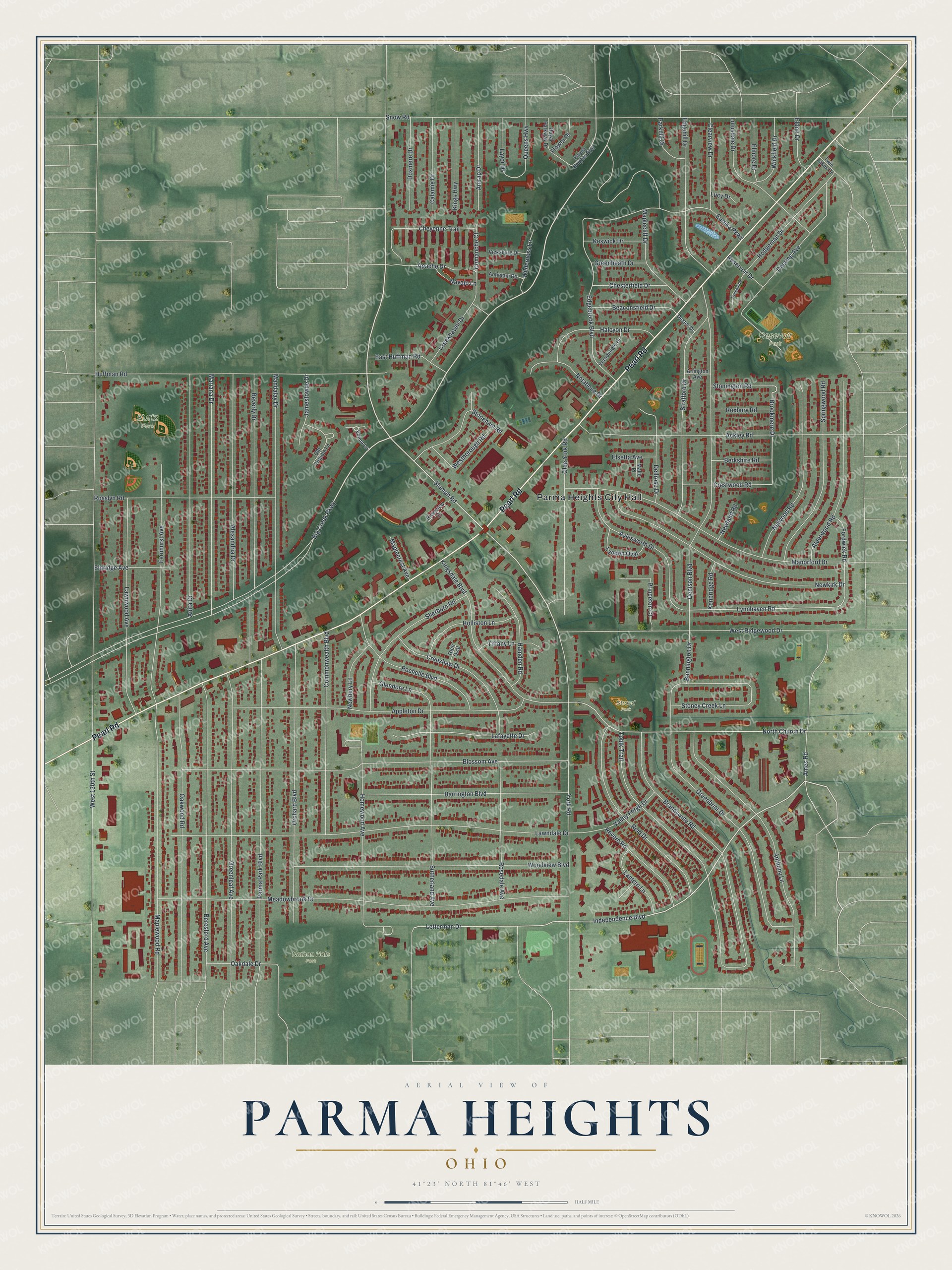
Created by KNOWOL in 2026. The print shows Parma Heights from above in soft greens, with buildings in red and streets in thin white lines. Shading brings out the creek valley near the top. The title panel reads "Aerial View of Parma Heights, Ohio" with 41°23' North 81°46' West below it.
It fits a living room, a hallway or a home office. It's a good gift for a Holy Name graduate, or for anyone who grew up near Kurtz Park and moved away. Open the preview and find your street. See sizes and frames for the Parma Heights map.