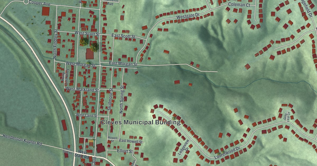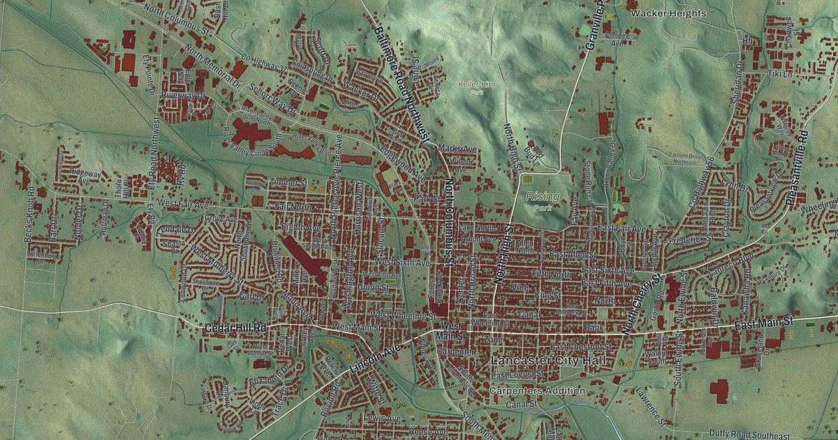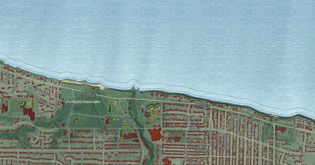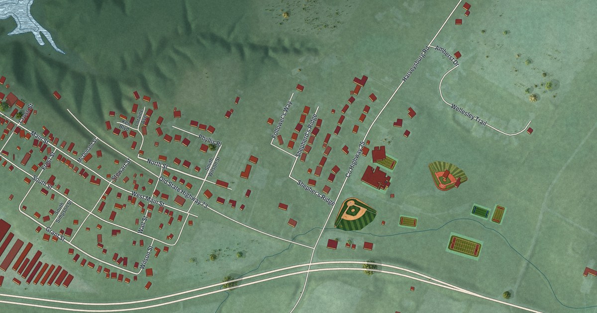
If you grew up on Main Street or North Street in Harveysburg, this map is for you. It's a modern aerial view of Harveysburg in Warren County, Ohio, made from modern data and given a vintage feel. Red rooftops line the old village streets. Wooded hills rise just behind them, and a wide blue lake fills the upper left corner. Ball fields sit east of town, and a long highway curves across the bottom of the sheet.
Main Street, North Street and More
On this map you'll find Main Street, North Street, South Street, West Main Street, East South Street, Maple Street, Grant Street, Wilson Street, Clark Avenue, Stewart Street, Cross Street, Frost Street, Wall Street, Harveysburg Road, Old State Highway 73, Wellesley Trail, and more. Each red shape is a building, so zoom in on the preview and look for yours.
How Harveysburg Got Its Name
Harveysburg started as a Quaker village. The land was once part of Colonel Abraham Buford's Revolutionary War land grant. William Harvey, a Quaker from North Carolina, bought part of it. He laid out 47 lots, and the village did well from the start. Early on it had grist mills, a tin shop, a blacksmith shop, a bank and a big pork packing plant. Harvey ran his own dry goods store. The name came from a merchant in Cincinnati. He told William Harvey to add "burg" to his name and call the place Harveysburg. The first post office opened in 1839. The village was incorporated in 1844. The state historical marker tells this story at 23 North Street, so look for North Street on the map.
The School on North Street
North Street holds another piece of the village's past. The National Register of Historic Places lists the Elizabeth Harvey Free Negro School there. It was added to the list in 1977. The marker calls the spot the first free Black school of the Midwest Territory. In 1891, Henry Howe wrote that Harveysburg had two Friends meetings among its churches. He also wrote about "the fifty springs" of mineral water near the town.
Keep Harveysburg Close
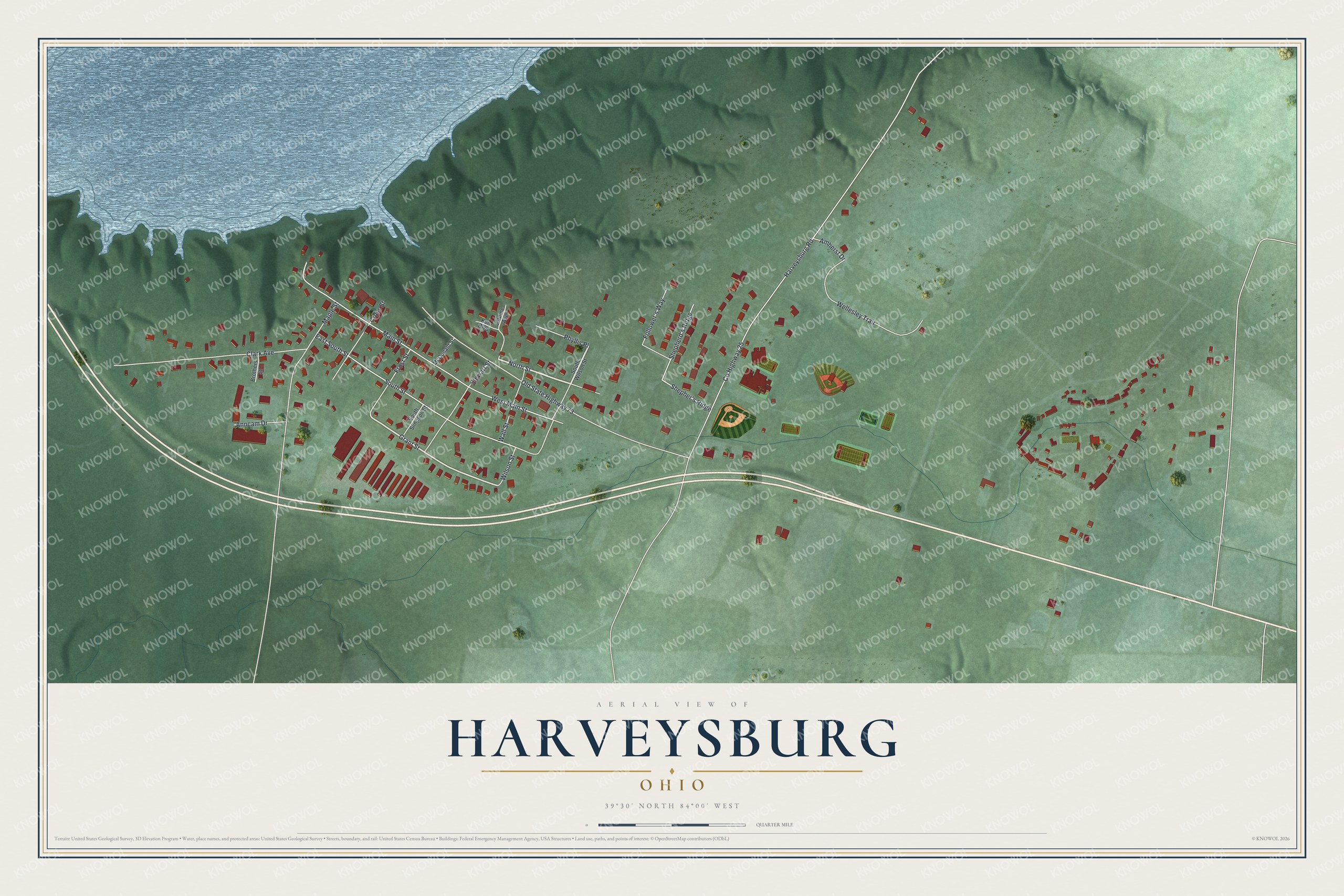
Created by KNOWOL in 2026, this print shows Harveysburg from above in soft greens and blues, with red buildings, shaded hills and a wide lake. The title panel reads "Aerial View of Harveysburg, Ohio" with the coordinates 39°30' North 84°00' West.
It fits well in a living room, a hallway or a home office. It's a good gift for anyone who grew up near the marker on North Street, or who moved away and still misses these streets. Open the preview and find your own block. See sizes and frames for the Harveysburg map.