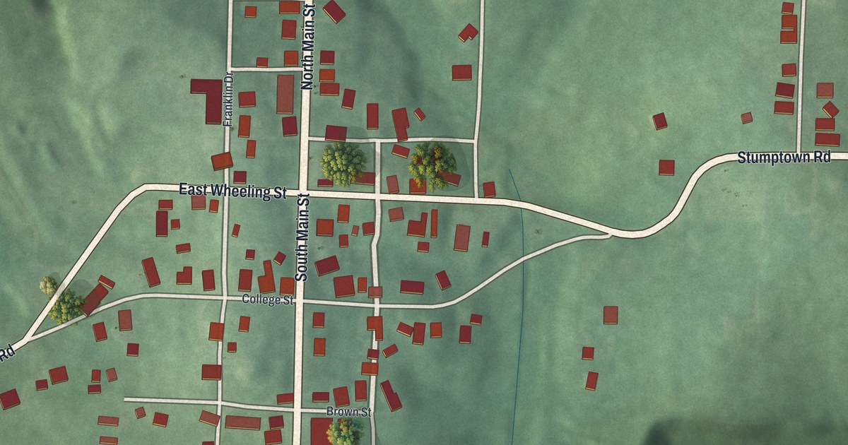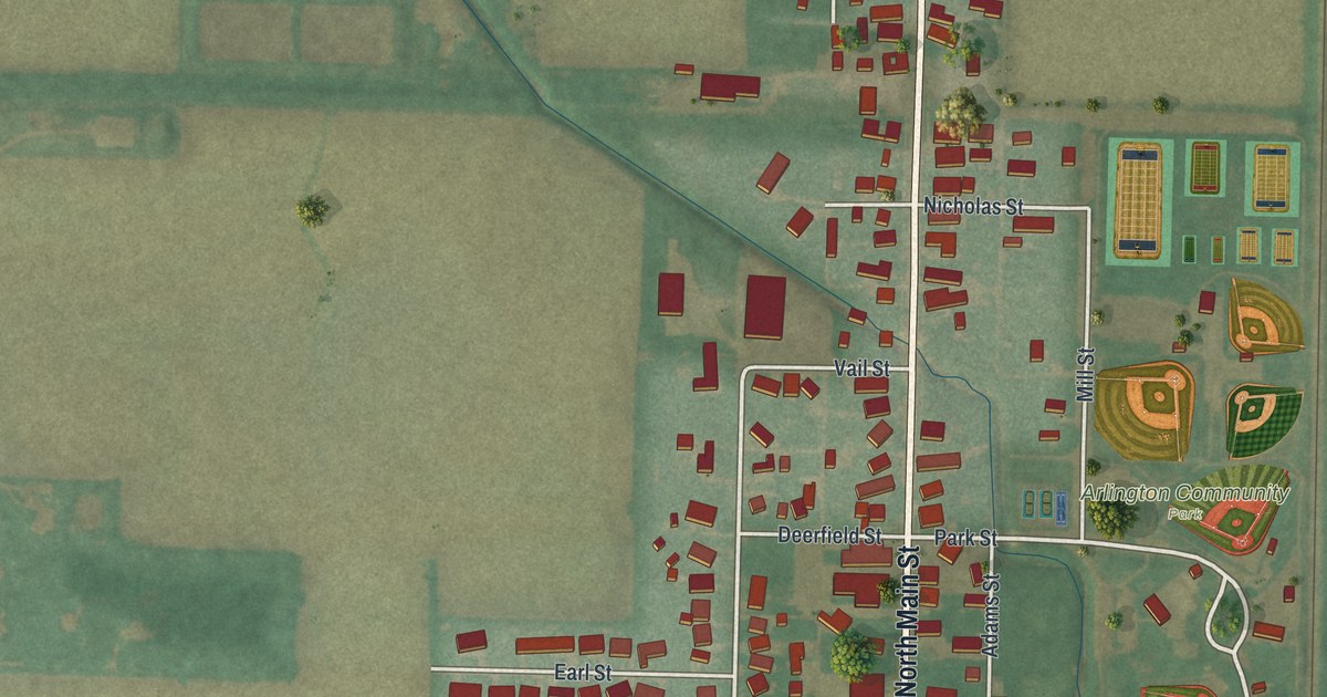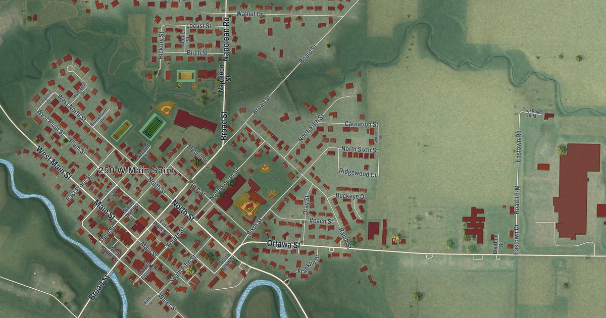
If you grew up in Kalida, or you still come home for Pioneer Days each September, this map is made for you. It's a modern aerial view of Kalida in Putnam County, Ohio, made from modern data and given a vintage look. The village sits near the middle of the sheet. A winding blue river curls past its west and south sides. Farm fields spread out on every side, and ball fields sit on the north edge of town.
Pioneer Days and the Pioneer Park marker on Broad Street
On this map you'll find Main Street, Broad Street, Ottawa Street, North Street, Napoleon Street, Plum Street, Water Street, Third Street, Locust Street, Birch Street, Carnation Street, Northland Drive, Buckeye Drive, Canaberry Drive, and more. Each red shape is a building, so zoom in on the preview and look for yours.
Kalida's best-known weekend started with a meeting. On September 6, 1873, the Putnam County Pioneer Association was organized in Kalida. Its goal was to "perpetuate the early history of our county." Members wrote down stories from early settlers. They printed two books of Pioneer Reminiscences, in 1878 and 1887. The yearly meeting was held every September, and it grew into a bigger festival. In 1970, the Kalida Lions Club bought the old Kalida Methodist Church at 201 E. Main Street. The club "sold" it to the Pioneer Association for ten dollars, to use as a museum. In 1971 the group took a new name, The Putnam County Historical Society. It still holds its yearly meeting during Pioneer Days weekend. The Ohio historical marker in Pioneer Park tells this story. It stands at 219 S Broad Street, and Broad Street and Main Street are both printed on the map.
Emerson Burkhart and Kalida High School
Kalida also helped raise a painter. Emerson C. Burkhart was born on a farm in Union Township, Putnam County, in 1905. He graduated from Kalida High School in 1924. Later he settled in Columbus. He painted an estimated 3,000 pictures in 40 years. They included street scenes, country scenes and more than 250 self-portraits. He once said his face was "cheaper than a model's and always there." A marker near Kalida High School tells his story. It stands at the corner of Napoleon Street and N Broad Street.
Main Street, Broad Street and Kalida on your wall
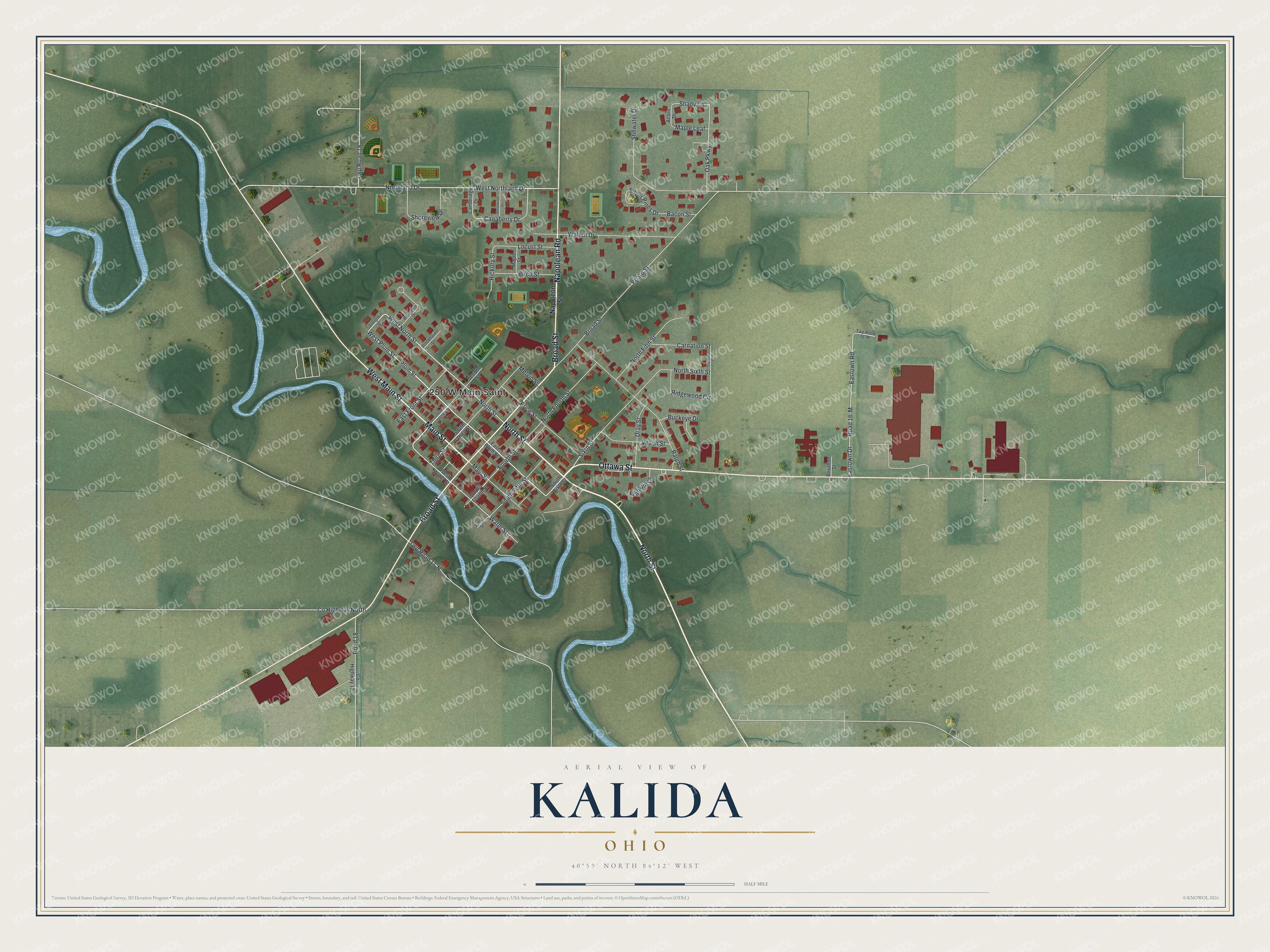
Created by KNOWOL in 2026, this print shows Kalida from above in soft greens, with red buildings and a pale blue river. The cream title panel reads "Aerial View of Kalida, Ohio" and gives the spot as 40°59' North 84°12' West.
It fits a kitchen, a front hall or a family room. It's a good gift for a Kalida High School graduate, or for anyone who never misses Pioneer Days. Open the preview and find your own street. See sizes and frames for the Kalida map.