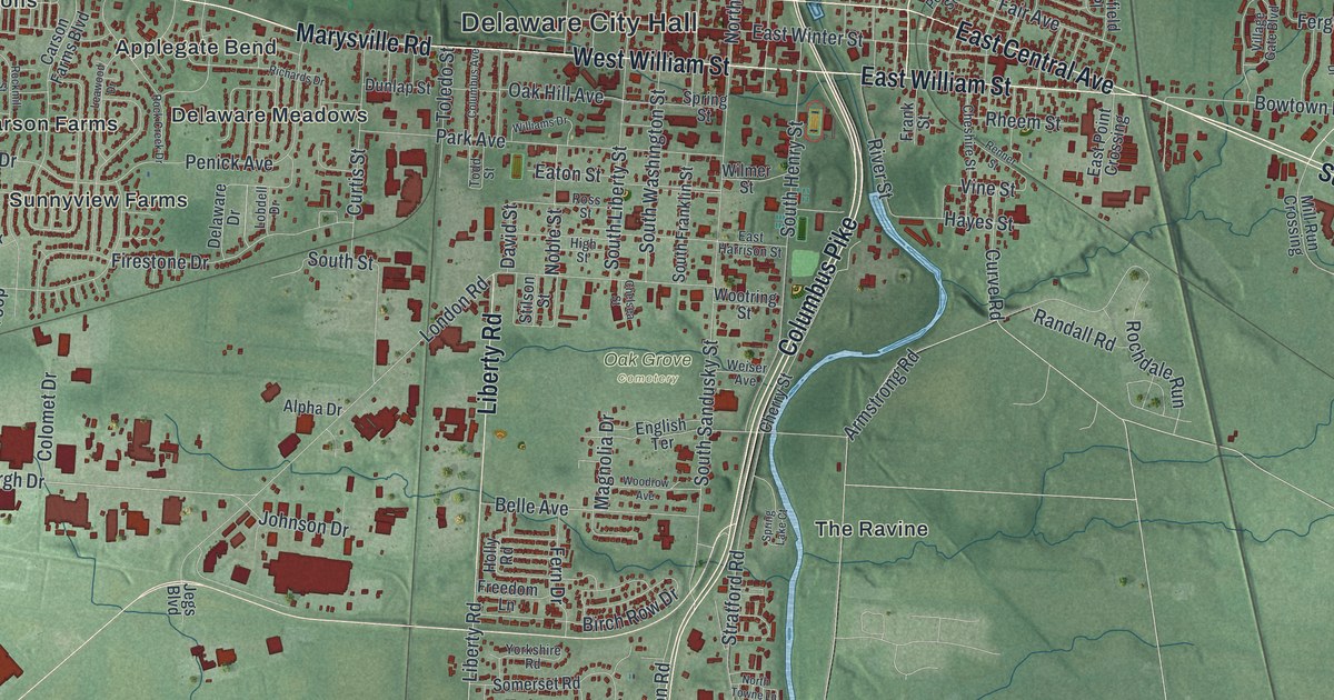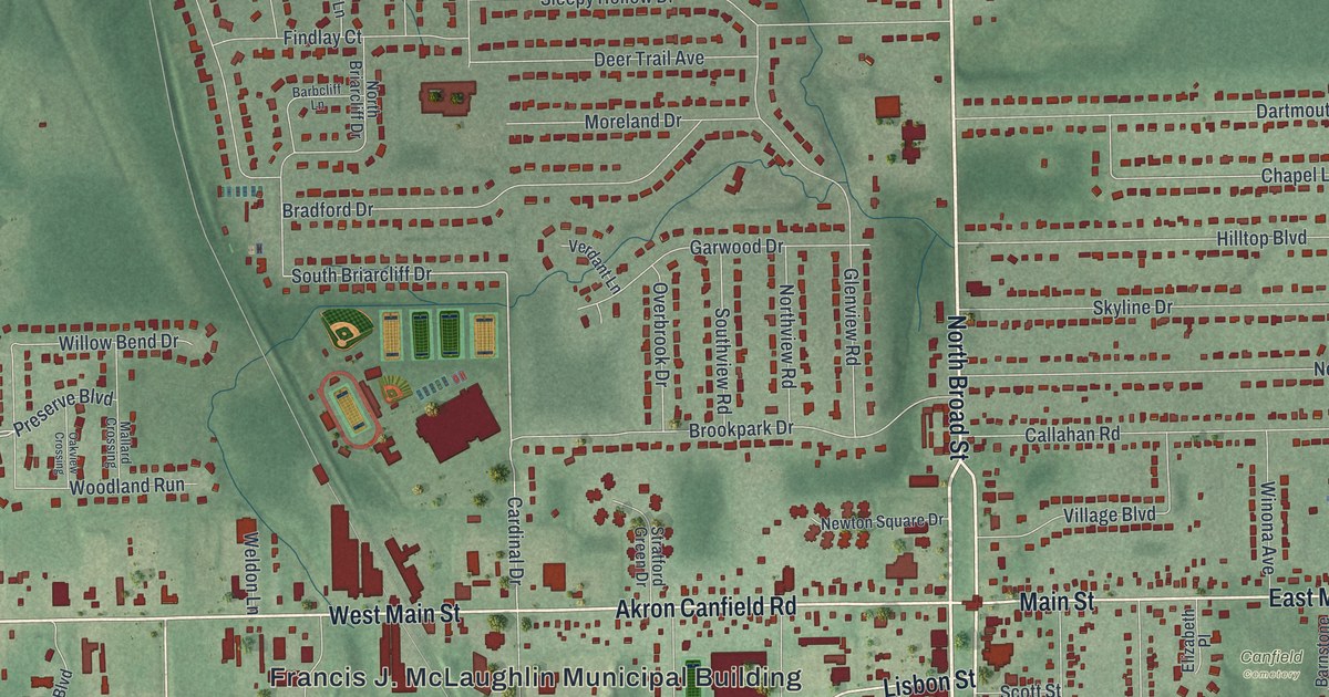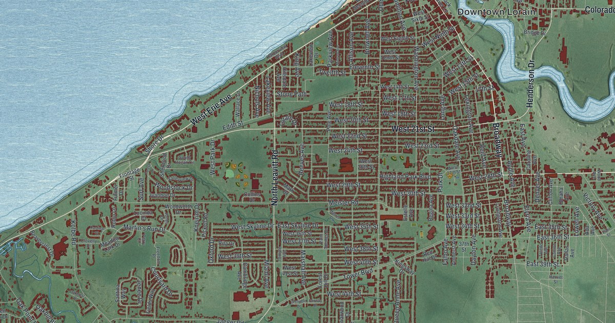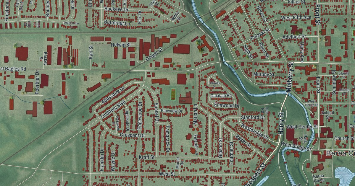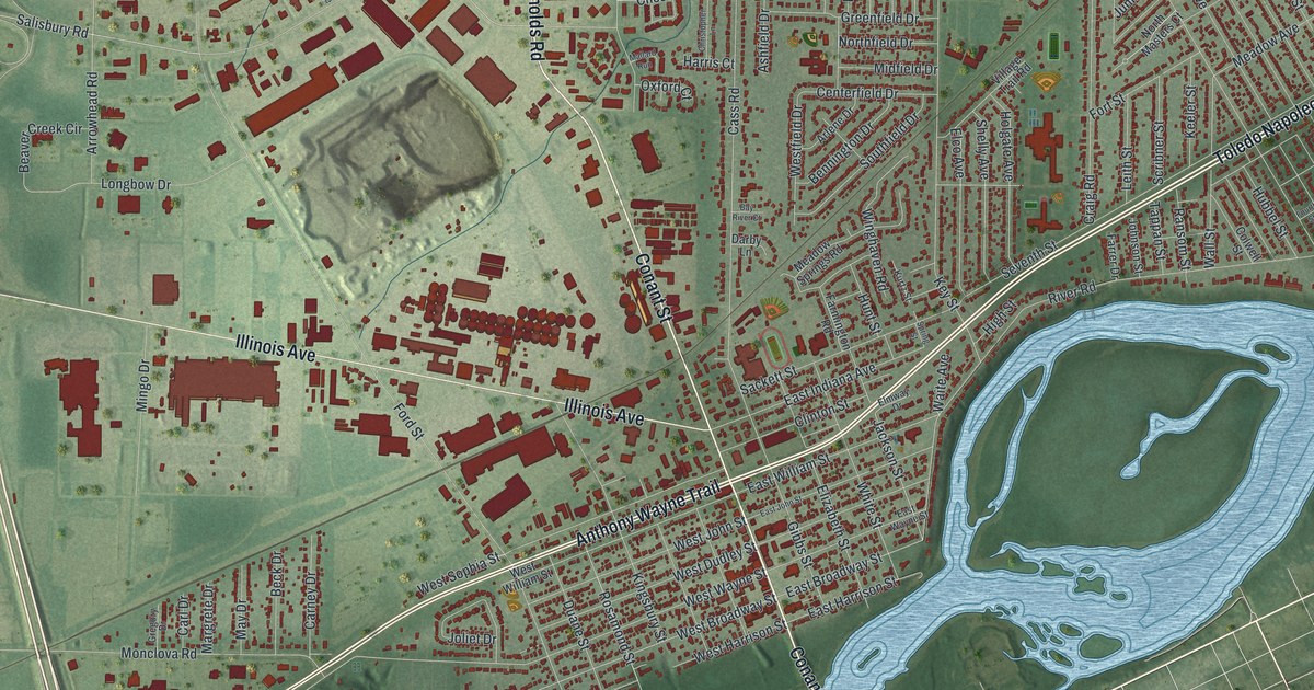
If you grew up in Maumee, went to school here, or have family who still lives near Conant Street, this map has plenty for you to find. It's a modern aerial view of Maumee in Lucas County, Ohio, made from modern data and given a vintage feel. Buildings are drawn in red on soft green ground. A wide blue river curves along the south and east side of town. The view runs from Dussel Drive and the Lucas County Recreation Center at the top down to Fallen Timbers Battlefield in the lower left. Explore the print options for Maumee.
Conant Street, Anthony Wayne Trail and Towpath Park
Start where Conant Street crosses Anthony Wayne Trail, near the middle of the sheet. Head south on Conant Street and you'll reach the river. Towpath Park is printed just to the west, by the water. Close by, Sackett and Clinton Streets cross Gibbs, Elizabeth and White Streets in a tight grid of blocks. Now go back to the Trail and follow it northeast. Up this way it's printed as Toledo Napoleon Road. River Road runs beside it, closer to the water, and meets Key Street, Michigan Avenue and Wall Street. Turn north on Key Street. It runs up past Thackeray Road to the Lucas County Recreation Center near the top. Back in the middle, Illinois Avenue heads west past large red buildings to Maumee Western Road. Many roads are labeled, and each red shape is a building, so zoom in on the preview and look for yours.
Fallen Timbers and Little Turtle's family on River Road
Now follow Anthony Wayne Trail the other way, southwest toward the lower left. Past Monclova Road, you'll find Fallen Timbers Battlefield printed on the green. On August 20, 1794, Major General "Mad" Anthony Wayne led the Legion of the United States there. They fought a confederacy of Native Americans led by Miami Chief Little Turtle and Shawnee war chief Blue Jacket. The tribes lost. Their British allies were nearby, but they didn't help. The Treaty of Greenville came the next year, in 1795. The Ohio historical marker at the battlefield says that treaty led in time to five new states: Ohio, Indiana, Michigan, Illinois and Wisconsin.
Little Turtle's family stayed part of Maumee's story. His daughter, Sweet Breeze, married the scout William Wells. Their daughter, Mary Wells, married James A. Wolcott. He'd come to Ohio from Connecticut in 1818. He was a merchant, a shipbuilder, a judge and a politician. In 1827 he built a federal style house on River Road. The Remarkable Ohio marker there says the couple made their home a center of frontier activity. The Wolcott House isn't labeled on this map, but it stands at 1031 River Road, northeast of downtown. It's listed on the National Register. Closer to town, at 301 River Road, Levi Beebe put up the Commercial Building in 1836. It held stores, a bank and the post office. In the canal era it was a stagecoach stop and a social center for Maumee. Back then Maumee was the Lucas County seat, and it stayed the county seat until 1853.
For someone who knows Conant Street and River Road
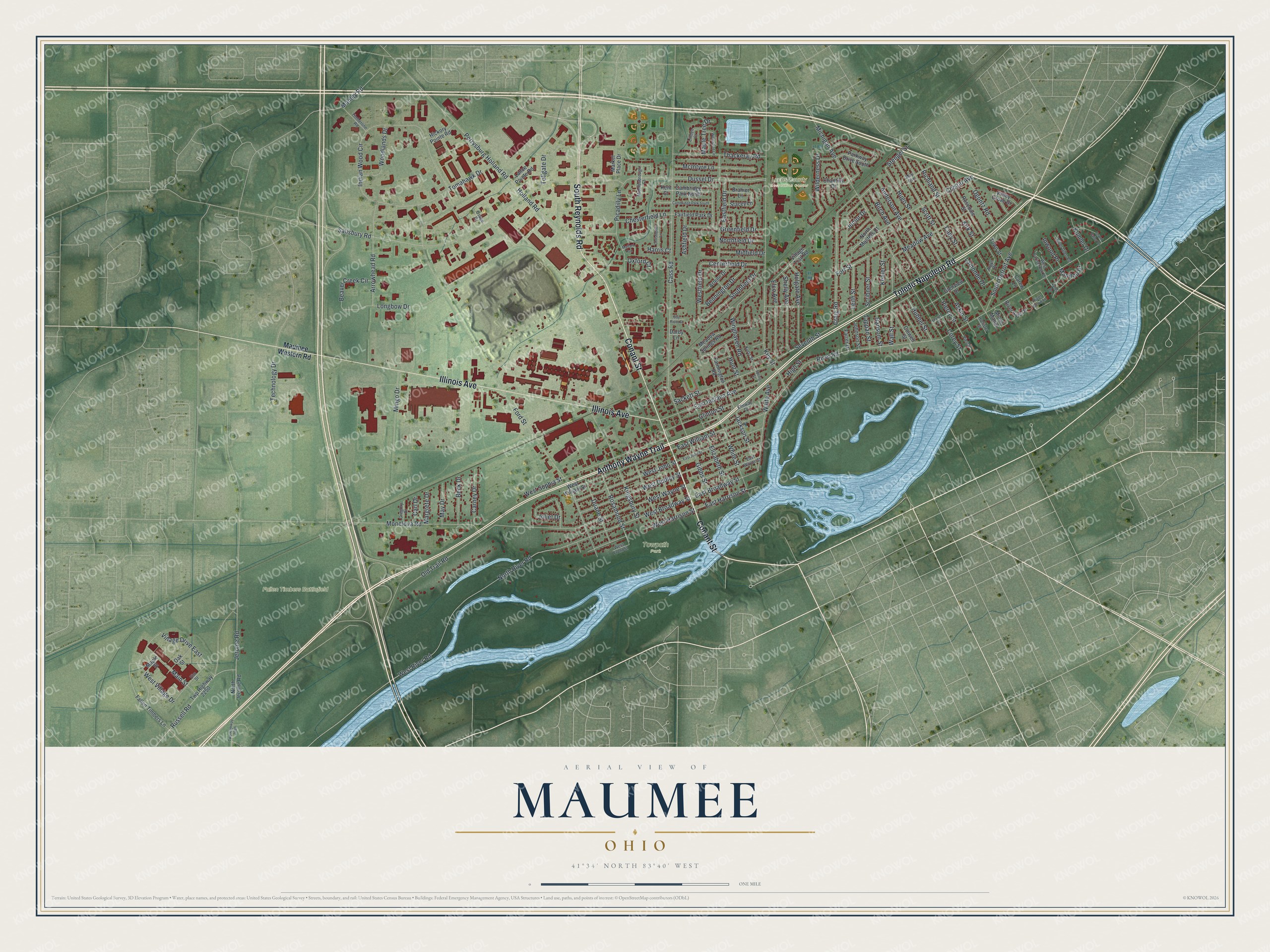
Created by KNOWOL in 2026, this Maumee map fits an office, a den or a family room. Buildings are drawn in deep red, and the ground is shaded green from USGS elevation data. Zoom in and you can pick out the small blocks around Conant Street, then follow River Road along the water. The title panel reads "Aerial View of Maumee, Ohio," with 41°34' North 83°40' West and a one-mile scale bar.
It's a thoughtful gift for someone who grew up in Maumee and moved away, or for a parent who still lives near the river. Open the watermarked preview, find Conant Street and follow the Trail out to Fallen Timbers. Shop the Maumee, Ohio map.