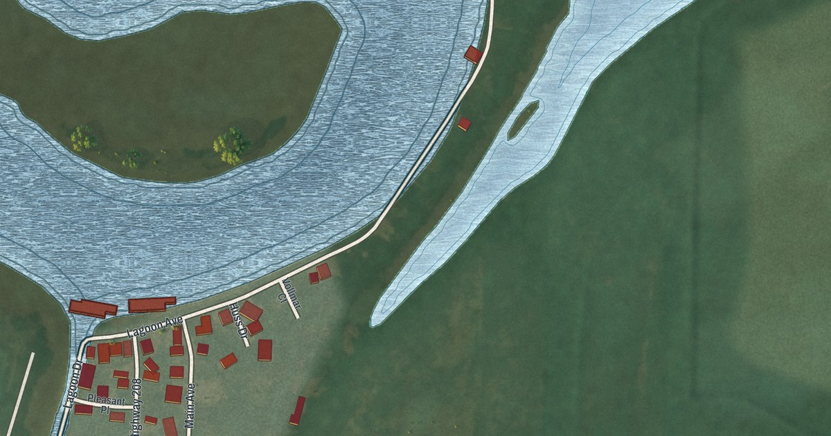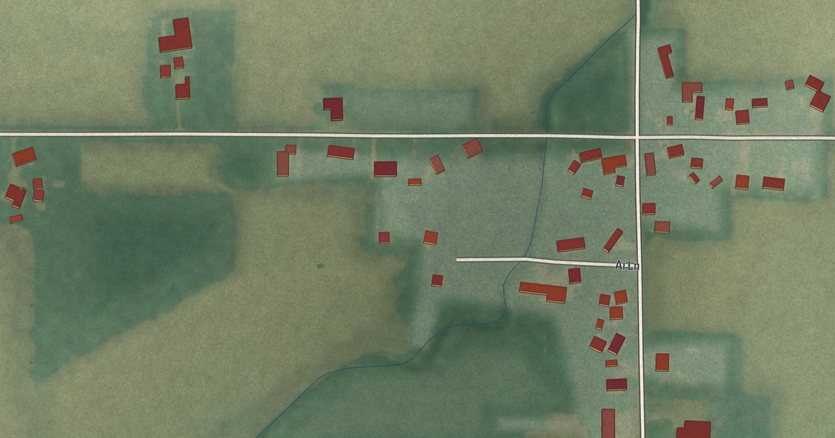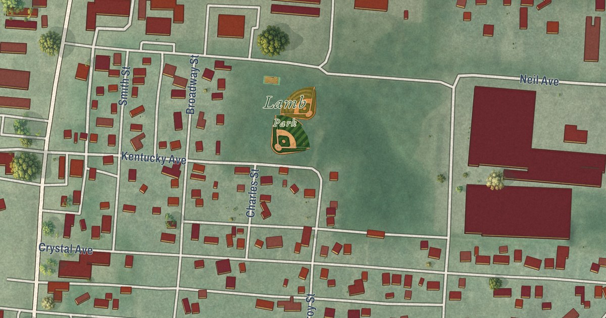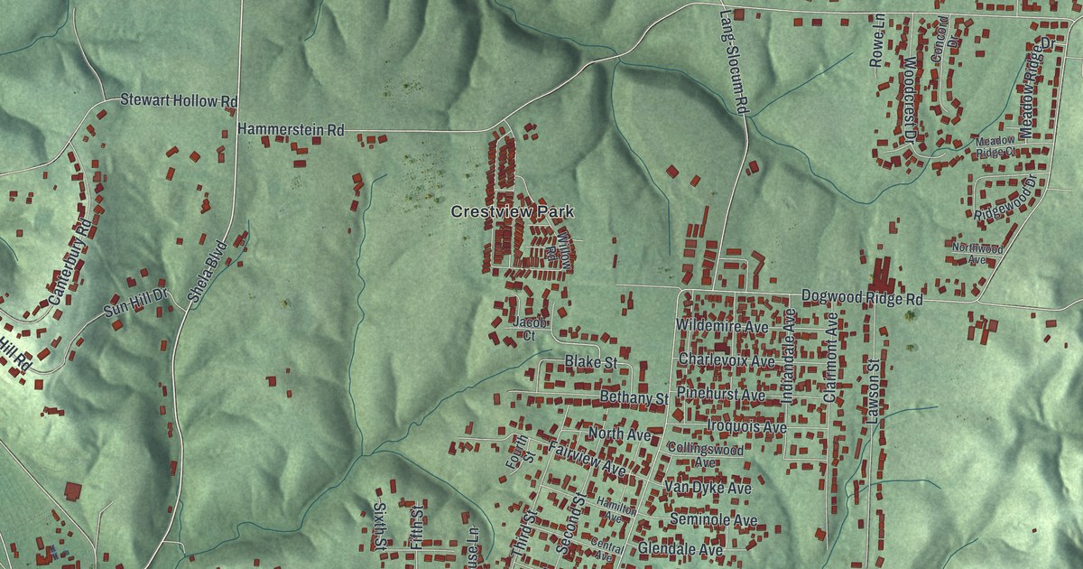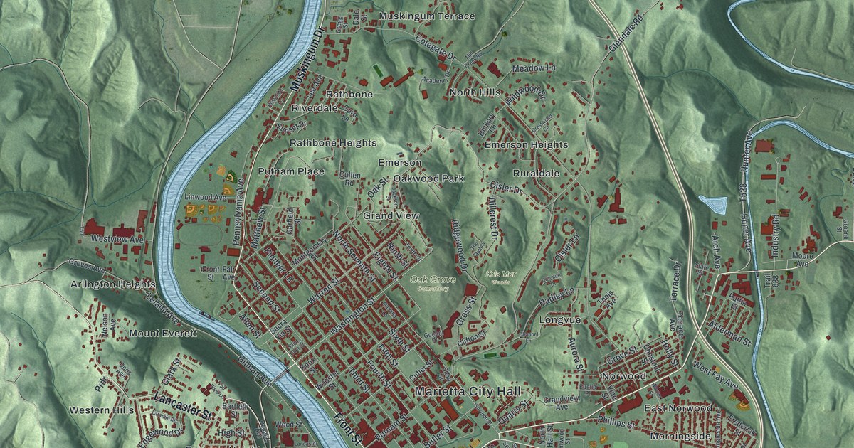
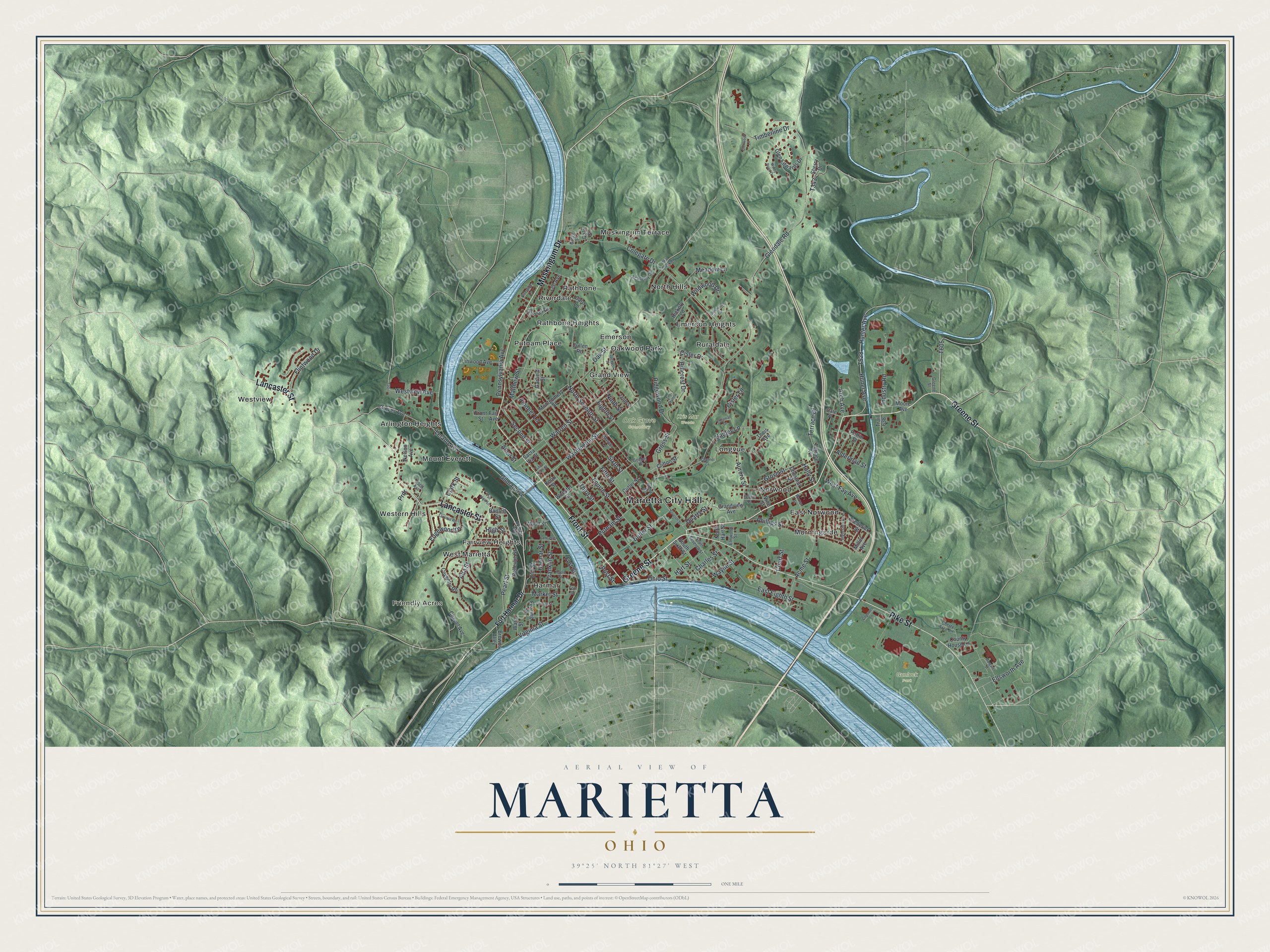
This beautifully detailed map of Marietta, Ohio was created in 2026 using aerial imagery combined with modern topographical, census, street and landmark data. It’s a one-of-a-kind view of Marietta that combines accurate data with a vintage aesthetic. The map shows every building in its true location, many of the roads carry their names, and the shaded topographic relief shows the shape of the land.
Explore an aerial view of Marietta, Ohio
On the map you’ll find Marietta City Hall, Friendly Acres, Gunlock Park, Kris Mar Woods, Oak Grove Cemetery, Arlington Heights, East Norwood, Emerson, Emerson Heights, Fairview Heights, Grand View, Harmar, and more. If you look closely you can even find your house accurately drawn in its correct location. Zoom in on the preview to look for yours.
Did you know this piece of Marietta, Ohio history?
On April 7, 1788, a party of 48 Ohio Company of Associates men landed where the Muskingum meets the Ohio River. General Rufus Putnam led them. They founded the first permanent American settlement in the Northwest Territory. They named it to honor Marie Antoinette, the French queen who had aided the Revolution.
Take a closer look at the Marietta map
Street and place names on the Marietta, Ohio map
These names are printed on the map of Marietta, Ohio.
Places: Marietta City Hall, Friendly Acres, Gunlock Park, Kris Mar Woods, Oak Grove Cemetery, Arlington Heights, East Norwood, Emerson, Emerson Heights, Fairview Heights, Grand View, Harmar, Longvue, Morningside, Mount Everett, Muskingum Terrace, North Hills, Norwood, Oakwood Park, Putnam Place, Rathbone, Rathbone Heights, Riverdale, Ruraldale, West Marietta, Western Hills and Westview.
Streets and roads: Greene Street, Front Street, Muskingum Drive, Pike Street, Lancaster Street, Washington Street, Cisler Drive, Ohio Street, Post Street, Third Street, Glendale Road, Fourth Street.
More street names, A to Z
Academy Drive, Acme Street, Alderman Street, Allen Street, Alta Street, Arch Avenue, Aurora Street, Bartlett Street, Bellevue Street, Browns Alley, Butler Street, Caro Lane, Channel Lane, Chapel Avenue, Charles Street, Cherry Tree Lane, Chestnut Street, Cisler Lane, Clark Street, Clifton Street, Clinton Street, Cogswell Lane, Colegate Drive, Colonial Drive, County House Lane, Court Street, Coventry Road, Crestwood Circle, Cullen Road, Cutler Street, Dale Street, Doris Avenue, Douglas Avenue, East Eighth Street, Edgewood Drive, Eighth Street, Ellsworth Avenue, Elm Street, Elmwood Street, Euclid Place, Fair Avenue, Fair View Lane, Fearing Street, Fifth Street, Flintwood Drive, Fort Harmar Drive, Fort Square, Fort Street, Franklin Street, Frederick Street, Garfield Street, Gilman Avenue, Glen Edwards Drive, Glenwood Lane, Goebel Place, Grandview Avenue, Gregg Street, Gross Street, Groves Avenue, Grove Street, Hadley Lane, Harmar Street, Hart Street, Hickory Lane, High Street, Hillcrest Drive, Holly Street, Huner Avenue, Hunter Avenue, Industry Road, Ingleside Avenue, Jackson Street, Knox Street, Laramie Road, Lee Avenue, Leland Avenue, Linwood Avenue, Maple Street, Margaret Street, Marietta Lane, Market Street, Matthew Street, Meadow Lane, Mill Creek Road, Miller Avenue, Montgomery Street, Moore Avenue, Nelson Avenue, Ninth Street, North Hart Street, North Seventh Street, Oak Street, Pattin Street, Pearl Street, Pennsylvania Avenue, Phillips Street, Pioneer Lane, Prdr, Putnam Street, Quarry Street, Ridgewood Drive, Riverside Lane, Sacra Via Street, Saint Clair Street, Second Street, Seventh Street, Sherry Drive, Short Street, Sixth Street, South Seventh Street, South Sixth Street, State Street, Sunset Drive, T50, Tenth Street, Terrace Avenue, Terrace Drive, The Hallow, Theis Avenue, Timberline Drive, Trail 638, Vine Street, Virginia Street, Ward Street, Warner Street, Warren Street, Wayne Street, West Fay Avenue, Westview Avenue, Wildwood Drive, Windy Point Drive, Wood Street, Wooster Street.
See the Marietta, Ohio map on a wall
The Marietta map as an 18 x 24 inch print in a black frame.

This beautifully detailed map of Marietta makes an attractive addition to your office, library, or den, and it can even be used to teach children the geography and history of the area. It also makes a great gift for anyone who grew up in Marietta or moved away. When you’re done exploring, click here to get your copy of the Marietta map.