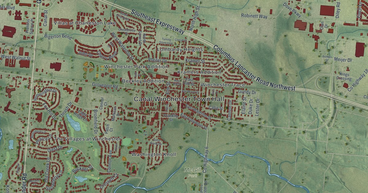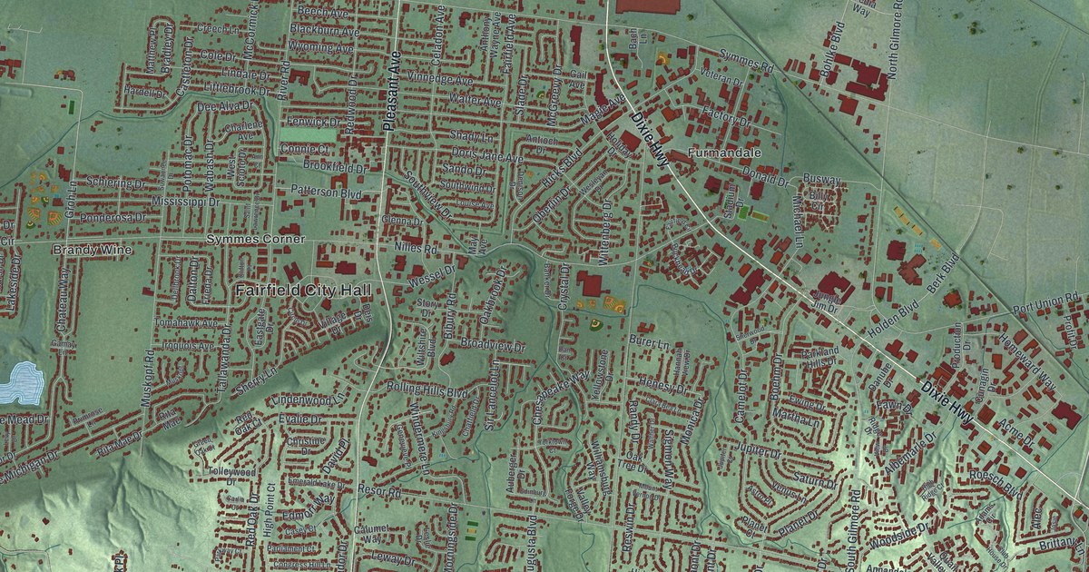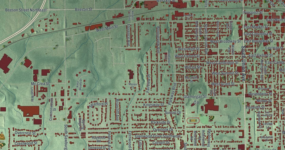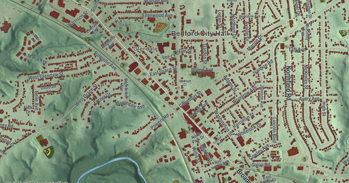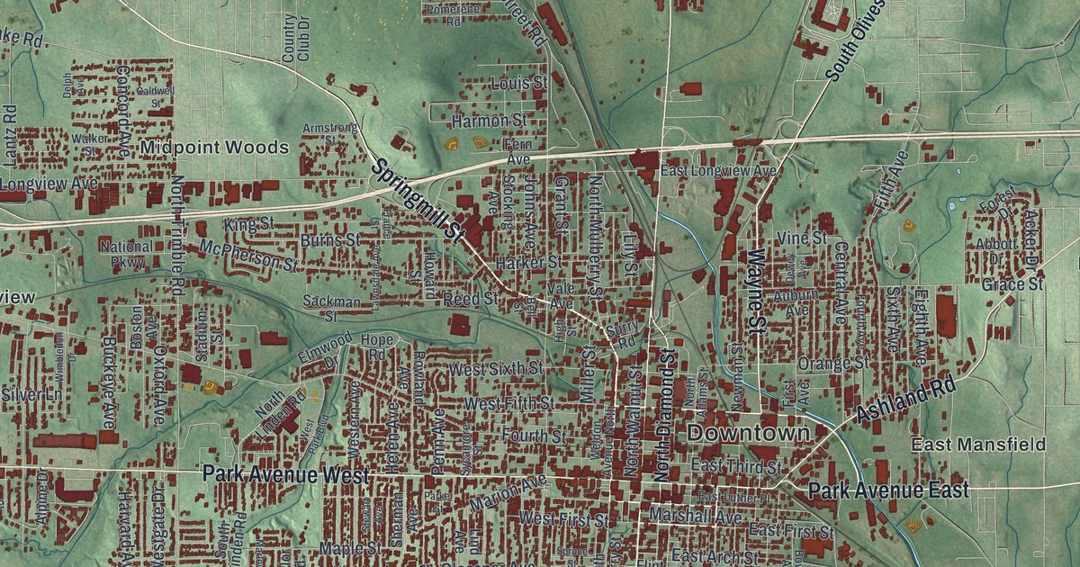
If you grew up in Mansfield, or still have family in Sunnyview, East Mansfield or the South Boulevards, this map has a lot for you to find. It's a modern aerial view of Mansfield in Richland County, Ohio, made from modern data and given a vintage artistic feel. More than 35,000 buildings are drawn in deep red. They pack in tight around Downtown and spread out along the main roads. Green, shaded hills and small creeks fill the country all around the city. Explore the print options for Mansfield.
Downtown, Park Avenue and Lexington Avenue
Start at Downtown, in the middle of the sheet. The old public square sits where North Main Street and South Main Street cross Park Avenue. The square isn't labeled, but all four roads are. Park Avenue West heads out to the west side. Park Avenue East runs the other way, toward East Mansfield. Now follow North Main Street north toward the top of the sheet. Piper Road and Crall Road East are printed off to its right. Back downtown, Ashland Road angles off to the northeast toward Lincoln Heights. Then take Lexington Avenue southwest through the South Boulevards. It crosses Sunset Boulevard, Clifton Boulevard and Glendale Boulevard. Turn south on Middle Bellville Road and you'll reach Hanley Village near the bottom of the sheet. Many roads are labeled, and each red shape is a building, so zoom in on the preview and look for yours.
Johnny Appleseed's night trip from the Mansfield square
Here's a story to tell when someone asks about the map. During the War of 1812, the square had two log blockhouses. One stood where Main Street meets Park Avenue West. A local shopkeeper named Levi Jones was killed. Rumors spread that an attack was coming, and the settlers needed help. An Ohio historical marker on the square says Johnny Appleseed is believed to have set out from there on the evening of August 9, 1813. He went through the night to the settlements at Clinton and Mount Vernon to get more men.
Johnny Appleseed's real name was John Chapman, and he knew Mansfield from the start. Another marker says he came in the summer of 1809, just as the first town lots went up for sale. He paid 120 dollars for lot 265. In 1818, he sold it for 100 dollars. That marker stands on South Diamond Street, just east of Main. It also remembers the Delaware people who camped in a ravine southwest of the square during the war. Soldiers had forced them from their village at Greentown and burned it.
One more name to look for is Mansfield Cemetery, printed a little south of Downtown. John Sherman is buried there. He came to Mansfield to practice law and went on to serve as a U.S. senator, Secretary of the Treasury and Secretary of State.
For anyone who knows Park Avenue and Lexington Avenue
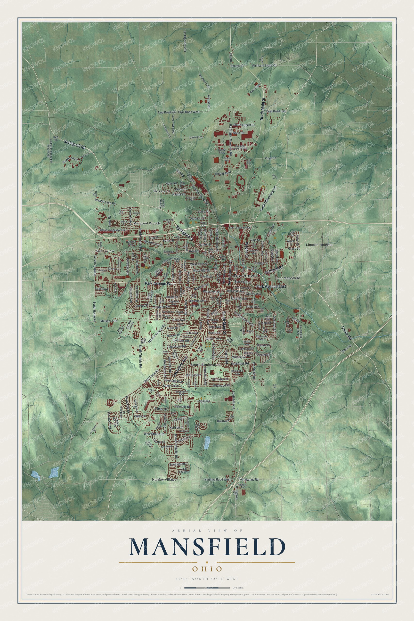
Created by KNOWOL in 2026, this Mansfield map suits an office, a den or a family room. The shaded hills come from USGS elevation data, and the red buildings sit where they really stand. The title panel reads "Aerial View of Mansfield, Ohio," with the coordinates 40°46' North, 82°31' West and a one-mile scale bar.
It's a thoughtful gift for someone who grew up here, moved away for work, or still comes home for the holidays. Open the preview, zoom in on Downtown and follow Park Avenue West to a street you know. Shop the Mansfield, Ohio map.