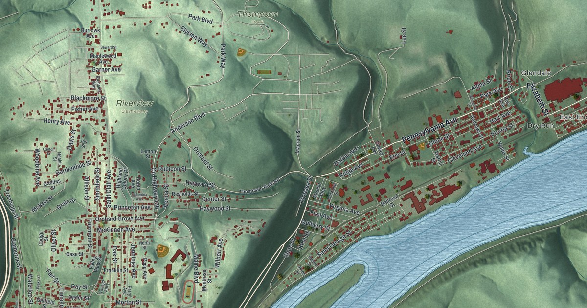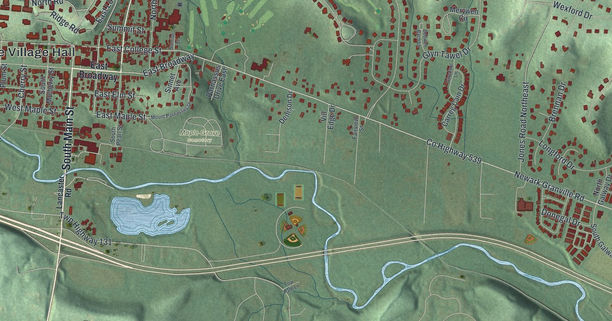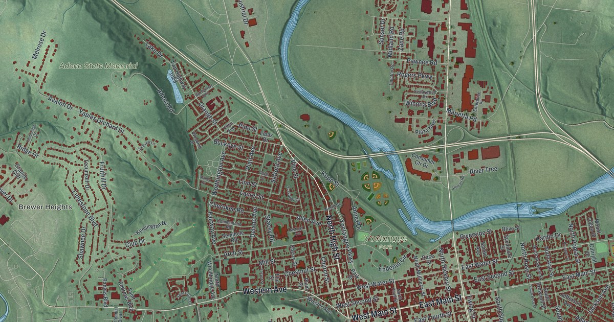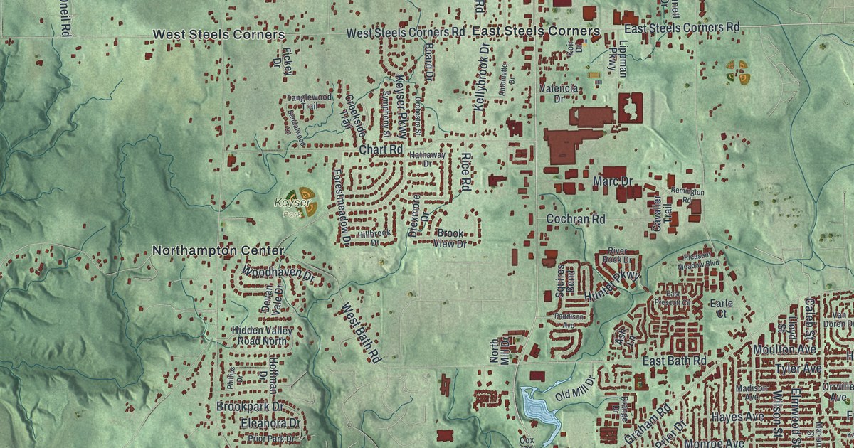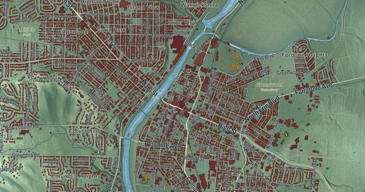
If you grew up in Hamilton, went to school here, or still drive High Street and Dixie Highway every week, there's a lot on this map for you to find. It's a modern aerial view of Hamilton, the county seat of Butler County, Ohio, drawn from modern data with a vintage feel. The Great Miami River winds through the middle of the city in blue. More than 37,000 buildings are marked in red on both sides of the water. Soft green hills rise all around, and pale blue lakes sit near the top and bottom corners. Explore the print options for Hamilton.
From High Street to Joyce Park
Start downtown on High Street, just east of the river. Follow it west across the water and you meet Main Street. Main Street heads northwest and turns into Hamilton Richmond Road. It passes Lawn Park and runs on up toward Carmen Place and Brookwood. Millville Avenue branches west from Main Street toward Millikin Park. Now go back to High Street and head east. Just north of it, Heaton Street runs past Greenwood Cemetery. Greenwood Avenue carries on east to Fordson Heights. Farther out, Hampshire Drive runs past Crawford Woods. For the south side, take Pleasant Avenue down through South Hamilton and Lindenwald. Dixie Highway runs south beside it to Schenck. Down in the lower left, Joyce Park sits by Joe Nuxhall Way and River Road. Many roads are named, and each red shape is a building, so zoom in on the preview and look for yours.
How Hamilton won the Butler County seat in 1803
Hamilton started as a fort. Fort Hamilton was built in 1791. It was named for Alexander Hamilton, who ran the Treasury for President George Washington. Butler County was created on March 24, 1803, about three weeks after Ohio became a state. There was a contest for the county seat. Hamilton won it thanks to its founder, Israel Ludlow, who gave the town its public square. The first county court met that July in a tavern. Then it moved into a two-story military building at the old fort. In 1810 the county built its first courthouse on the square. It was stone, with the jail downstairs and the courtroom upstairs. A brick courthouse took its place in 1817, and a four-sided clock went on top in 1837. The Ohio historical marker at the courthouse tells the whole story.
The courthouse isn't labeled on the print, but it stands at 101 High Street, right where the route starts. Just west of it, toward the river, the Soldiers, Sailors, and Pioneers Monument stands near the center of the old fort site. It was dedicated on July 4, 1906, and more than 4,300 names are carved on its marble walls inside. Now find Ludlow Street, a short walk south of High Street. In 1859, Abraham Lincoln spoke from the back of a train at South Fourth and Ludlow streets. About 1,000 people came to hear him. A year later he was elected president.
For anyone who knows High Street and Main Street
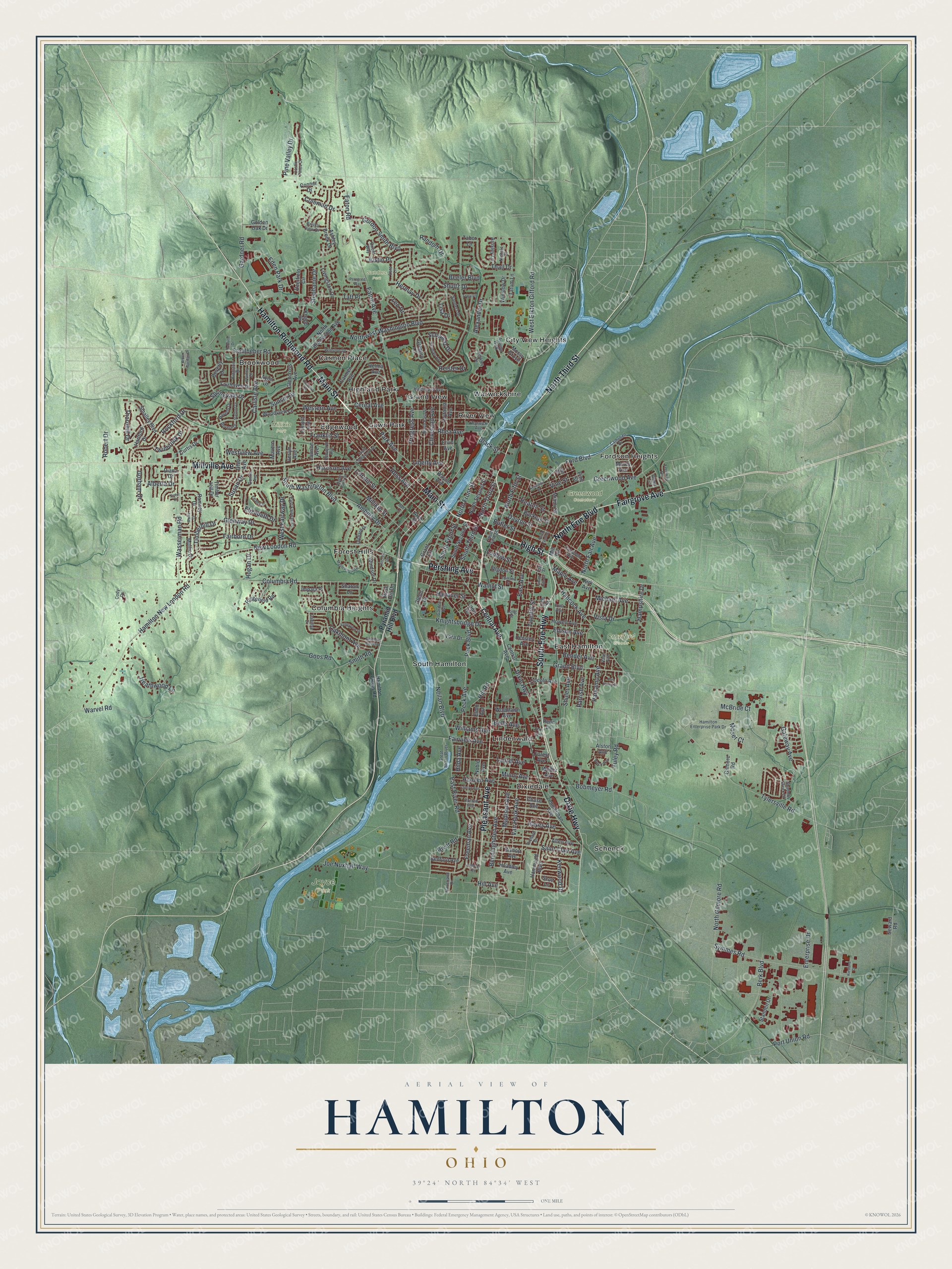
Created by KNOWOL in 2026, this Hamilton map shows the city's buildings in deep red and its streets in fine light lines over shaded green hills. The hills come from USGS elevation data, and the river and lakes are drawn in pale blue. The title panel reads "Aerial View of Hamilton, Ohio" with 39°24' North, 84°34' West and a one-mile scale bar.
It fits a den, a home office or a front hall where guests stop and look. It's a good gift for someone who grew up in Lindenwald or East Hamilton and moved away, or for a family with roots up in Brookwood. Open the preview, zoom in and find the street you know. Shop the Hamilton, Ohio map.