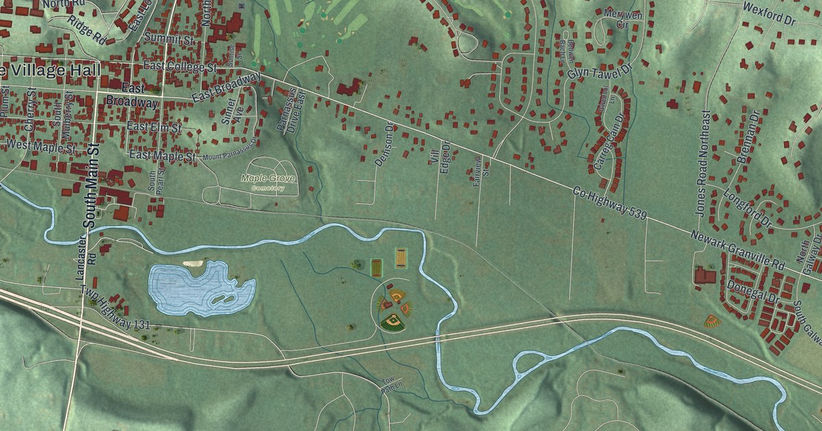
If you went to Denison, grew up in Granville, or still have family near Broadway, there's plenty on this map to find. It's a modern aerial view of Granville in Licking County, Ohio, made from modern data and given a vintage look. The hills are shaded in soft green, and each building is drawn in deep red. A creek winds along the bottom of the village. The sheet runs from the streets north of town down to quiet farm roads like James Road. Explore the print options for Granville.
Broadway, North Pearl Street and Bryn du Drive
Start at Granville Village Hall, printed in the middle of town on the left side of the sheet. West Broadway and East Broadway run through downtown, and South Main Street crosses them. North of downtown, North Pearl Street heads up the hill. Above it, North Street runs past the printed Denison University Biological Preserve. Now go back and follow Broadway east. Just southeast of downtown, Maple Grove Cemetery is named, with Mount Parnassus Drive and Sinnet Avenue along its edge. Keep going east on Newark Granville Road, also printed as Co Highway 539. Bryn du Drive turns north off it into a hillside of homes. Off Bryn du, Glyn Tawel Drive leads to Merywen Circle, Gwennol Lane and Bedwen Bach Lane. Back in town, South Main Street turns into Lancaster Road and runs straight down the left side of the sheet, past River Road, to James Road. Many roads are labeled, and each red shape is a building, so zoom in on the preview and look for yours.
Granville was planned before its settlers ever got here. In 1804, neighbors in Granville, Massachusetts and Granby, Connecticut formed the Licking Company to move west. They bought 29,040 acres in Ohio. In November and December 1805, about 150 people arrived in ox-drawn wagons. They built temporary shelters on the public square they'd planned. From December 9 to 12, they chose their village lots at an auction. An Ohio historical marker at East Broadway and South Main Street says the auction was described as peaceable and honest. On December 9, the settlers also agreed to build a log cabin school for eighty children. Later, the rail lines and the National Road passed Granville by. Hopes for a factory town faded, but the schools grew. One of them became Denison University.
The Old Colony Burying Ground was marked on that first town plan in 1805. It isn't labeled on the map, but it sits on South Main Street just below Broadway. The first burial, in April 1806, was the infant son of Ethan Bancroft. Northeast of downtown, look for the printed Welsh Hills Road Northwest and Welsh-sounding names like Glyn Tawel Drive. In 1801, Theophilus Rees and Thomas Philipps of Carmarthenshire, Wales bought land to start the Welsh Hills community. From 1863, the Welsh Congregational Church held services in Welsh in the village for sixty years.
For anyone who knows Broadway and South Main Street
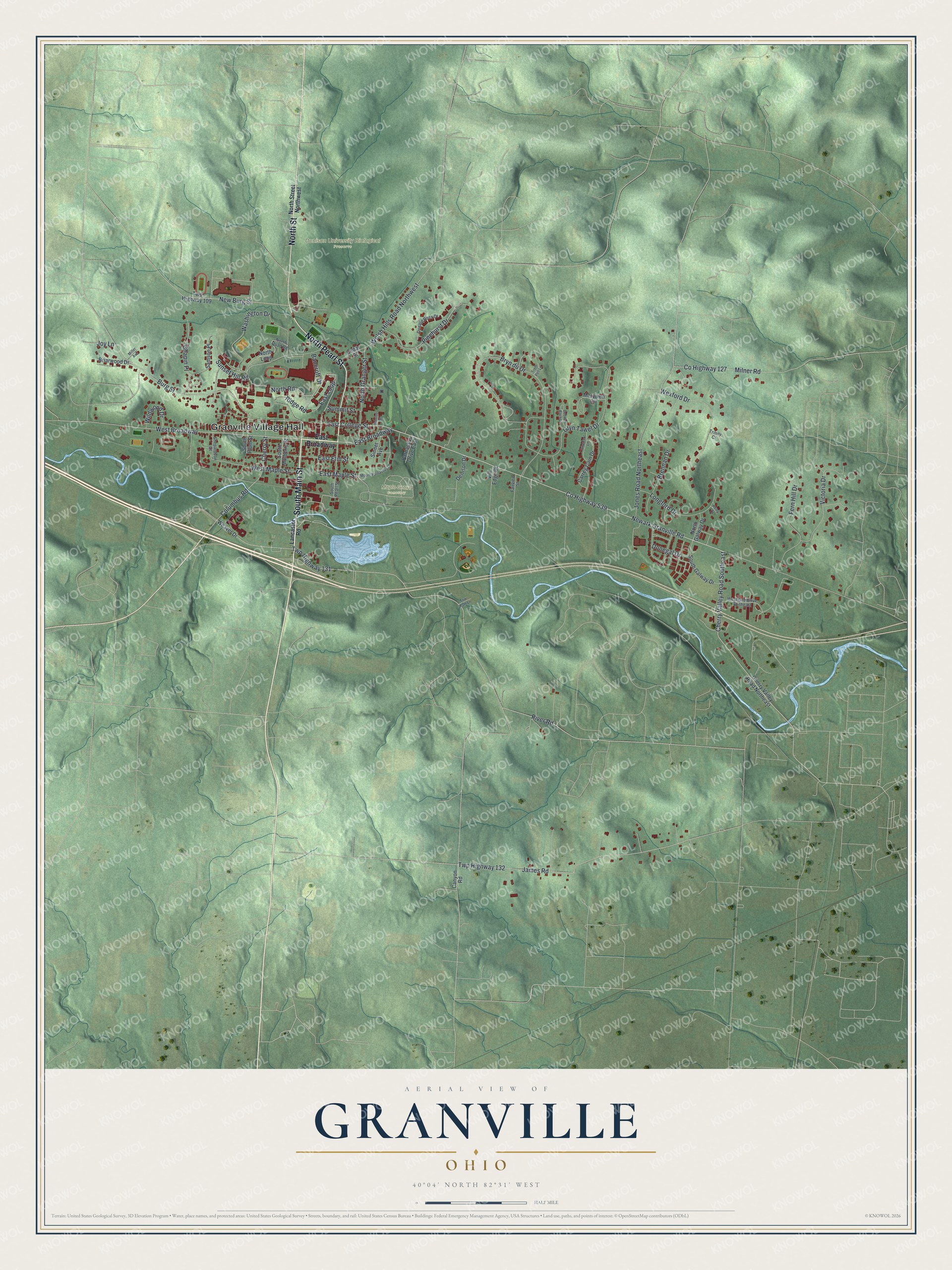
Created by KNOWOL in 2026, this Granville map shows the village and the valley around it in soft green, with buildings in deep red. The shaded hills come from USGS elevation data. The title panel reads "Aerial View of Granville, Ohio" with 40°04' North 82°31' West and a half-mile scale bar.
It suits a study, a den, a kitchen or a front hall. It's a thoughtful gift for a Denison graduate, a family that's been here for years, or someone who grew up in Granville and moved away. Open the preview, zoom in and find the street you know. Shop the Granville, Ohio map.