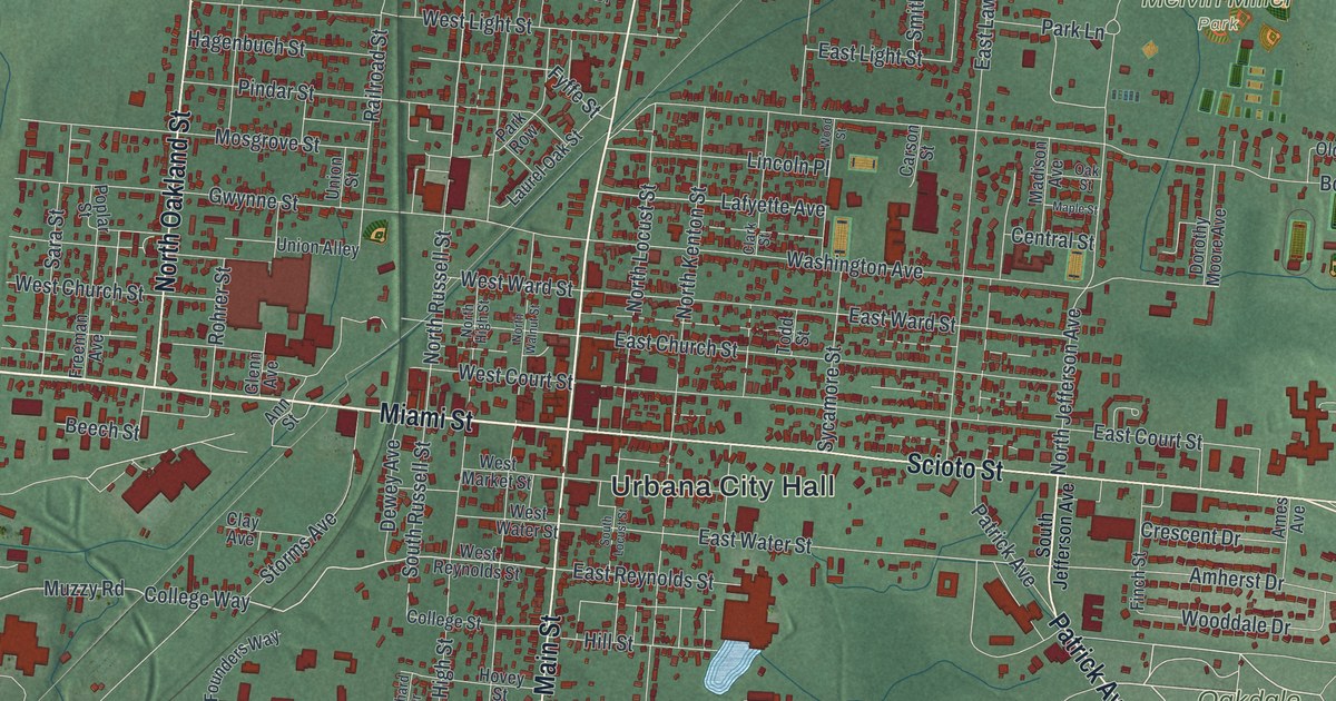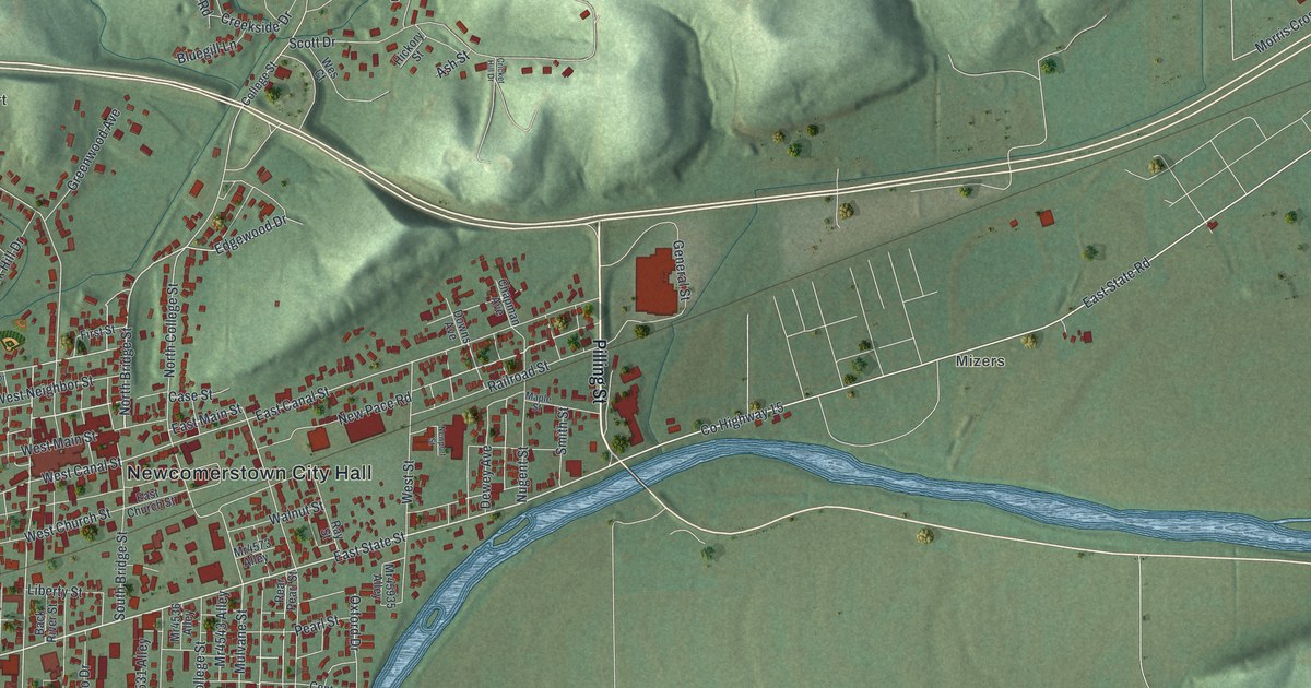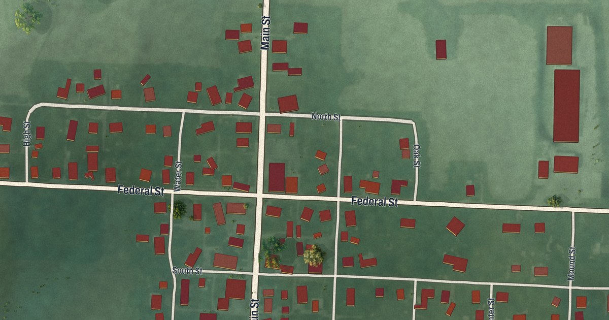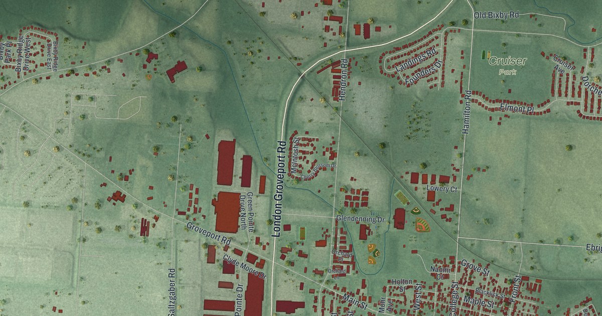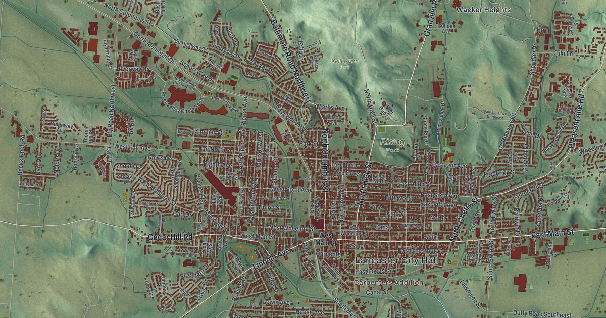
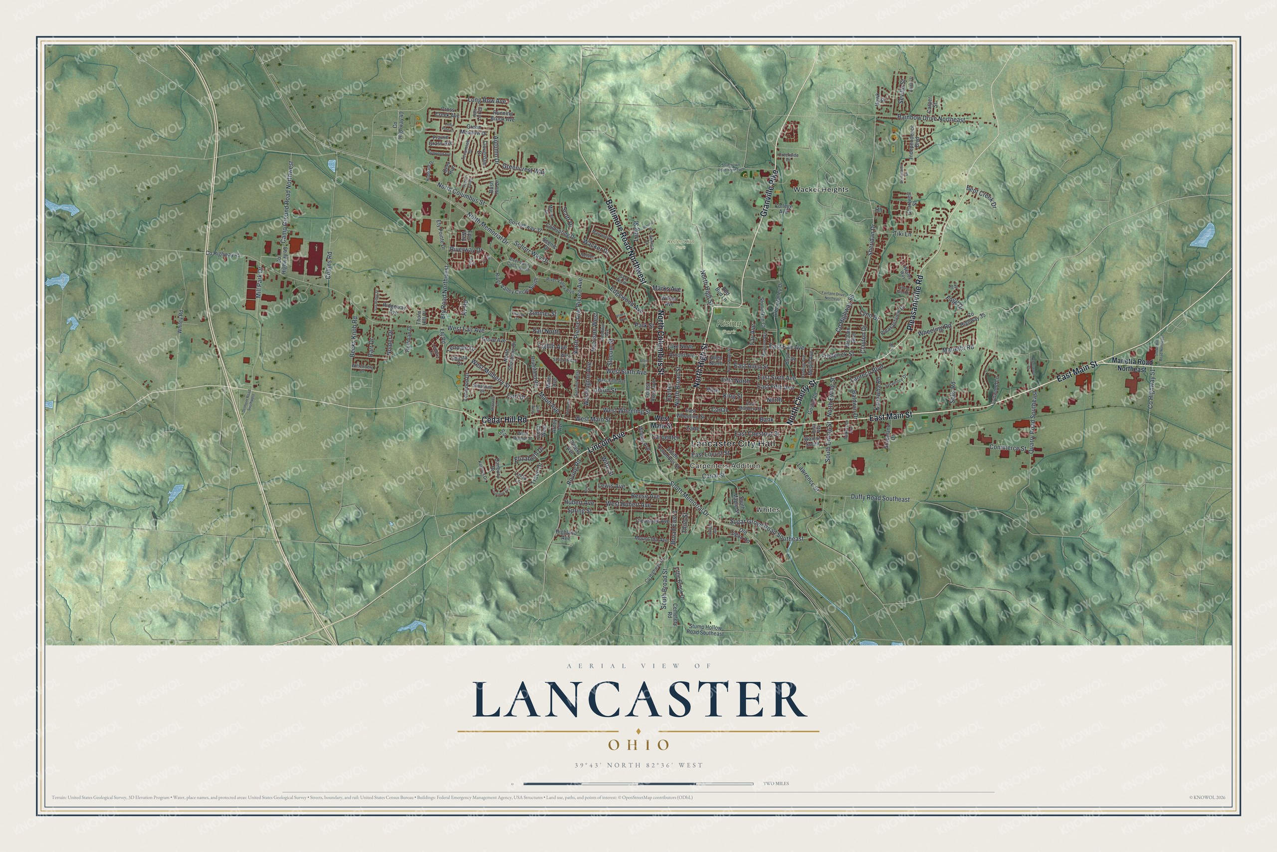
This beautifully detailed map of Lancaster, Ohio was created in 2026 using aerial imagery combined with modern topographical, census, street and landmark data. It’s a one-of-a-kind view of Lancaster that combines accurate data with a vintage aesthetic. The map shows every building in its true location, many of the roads carry their names, and the shaded topographic relief shows the shape of the land.
Explore an aerial view of Lancaster, Ohio
On the map you’ll find Lancaster City Hall, Whites, Carpenters Addition, Keller-Kirn Park, Rising Park, and Wacker Heights, along with East Main Street, Cedar Hill Road, North Cherry Street, Granville Pike, Pleasantville Road, North High Street, and more. If you look closely you can even find your house accurately drawn in its correct location. Zoom in on the preview to look for yours.
Did you know this piece of Lancaster, Ohio history?
Ebenezer Zane blazed a trail across Ohio, finished by 1797. He received square-mile tracts where it crossed three rivers. On the tract by the Hocking River, his sons laid out the village in 1800. It was first called New Lancaster. Many early settlers came from Lancaster, Pennsylvania.
Take a closer look at the Lancaster map
Street and place names on the Lancaster, Ohio map
These names are printed on the map of Lancaster, Ohio.
Places: Lancaster City Hall, Whites, Carpenters Addition, Keller-Kirn Park, Rising Park and Wacker Heights.
Streets and roads: East Main Street, Cedar Hill Road, North Cherry Street, Granville Pike, Pleasantville Road, North High Street, Lincoln Avenue, North Columbus Street, Baltimore Road Northwest, North Memorial Drive, South Memorial Drive, West Sixth Avenue.
More street names, A to Z
Abigail Street, Allen North, Allen Street, Arbor Valley Drive, Arney Avenue, Arnold Avenue, Autumn Drive, Baldwin Drive, Bank, Barr Drive, Beacon Street, Becks Knob Road, Bent Creek Drive, Boving Road, Boyd Street, Broad East 1, Brumfield Road, Bush Hill Drive, Camp Ground Road Northwest, Canal, Canal Street, Carl Drive, Carpenter, Carper Street, Cedar West, Cemetery Road, Center, Chartwell Street, Clayton Drive, Cleveland Avenue, Cloverdale Drive, Coldspring Drive, College Avenue, Collins Road, Commerce Street, County Highway 35, County Highway 37, County Highway 40, County Highway 43, County Highway 45, County Highway 51, County Highway 55, County Highway 56, Coventry Circle, Creekside Drive, Cross Creek Avenue, Danbury Drive, Dean West, Declaration Drive, Deer Run, Della Avenue, Delmont Road Southwest, Duffy Road Southeast, East Allen Street, East Chestnut Street, East Fair Avenue, East Fifth Avenue, East Locust Street, East Mulberry Street, East Sixth Avenue, East Wheeling Street, Edgewood Avenue, Eighth Avenue, Elizabeth Drive, Epic Way, Ety Pointe Drive, Ety Road, Ety Road Northwest, Fairfield Avenue, Fairlane Drive Northeast, Fair North, Fay Avenue, Fifth North, Fogg Drive, Forest Rose Avenue, Frederick Street, Fulkerson Avenue, Garfield West, Gay Street, Goodwin Avenue, Goslin Road, Graceland Drive, Graf North, Greencrest Way, Green Meadow Drive, Grove Avenue, Harding Avenue, Hardwood Avenue, Harrison West, Hawk Street, Highland Avenue, Hoffman Drive, Hubbard Drive, Hubert Avenue, Independence Boulevard, Ivy Place, Kanawha Road, Kathryn Drive, Kilt Court, King Street, Knollwood Court, Lake North, Lambton Circle, Lanreco Boulevard, Lawrence Street, Lendale Drive, Lenwood Drive, Lewis Avenue, Linda Lane, Little Brook Drive, Little Pine Lane, Long Bow Avenue, Long Street, Lynn Drive, Lynwood Lane, Madison Avenue, Marietta Road, Marietta Road Northeast, Marks Avenue, Marrose Drive, Marvel Drive, Maud Avenue, McClain Boulevard, Medill Avenue, Miller Avenue, Mill Park Drive, Mound Street, Mount Ida Avenue, Nelson, Nolder Drive, North, North Broad Street, North Ewing Street, North Maple Street, North Pierce Avenue, North Shoshone Drive, Old Logan Road, Olive Lane, Park Street, Peters Avenue, Pierce Avenue, Pioneer, Plaza Way, Pleasantview Drive, Prairie Grass Avenue, Quarry Road Southeast, Rainbow Drive Northeast, Red Bud Lane, Reese Avenue, Ridgeway Avenue, River Valley Boulevard, River Valley Circle North, River Valley Circle South, Riverway Drive, Running Brook Avenue, Rv Road, Salt Lick Drive, Scenic Drive, Scenic Valley, Schorr Way Drive, Scott Drive, Sells Road, Seneca Drive, Seville Street, Sha Lane, Shasta Drive, Shawnee Drive, Sheridan Drive, Shoshone Drive, Slocum Street, Snoke Hill Road Northeast, South Broad Street, South Columbus Street, South Ewing Street, South Maple Street, Spring Street, Stone Glen Drive, Stone Run Court, Stringtown Road Northeast, Stump Hollow Road Southeast, Sugar Grove Road Southeast, Sun Ridge Street, Sycamore Drive, Tartan Place, Tecumseh Drive, Third Street, Thorn Hill Place, Tiki Lane, Trace Drive, Union Street, Vine, Wacker Drive, Walnut South, Washington Avenue, Wesley Way, West Fair Avenue, West Fifth Avenue, West Hubert Avenue, West Main Street, West Mulberry Street, West Seventh Avenue, West Walnut Street, West Wheeling Street, Wheeling Road, Whiley Avenue, Whiley Road, Wilson Avenue, Wittenberg Drive, Witte Street, Zane, Zimmer Street.
See the Lancaster, Ohio map on a wall
The Lancaster map as an 18 x 24 inch print in a black frame.

This beautifully detailed map of Lancaster makes an attractive addition to your office, library, or den, and it can even be used to teach children the geography and history of the area. It also makes a great gift for anyone who grew up in Lancaster or moved away. When you’re done exploring, click here to get your copy of the Lancaster map.