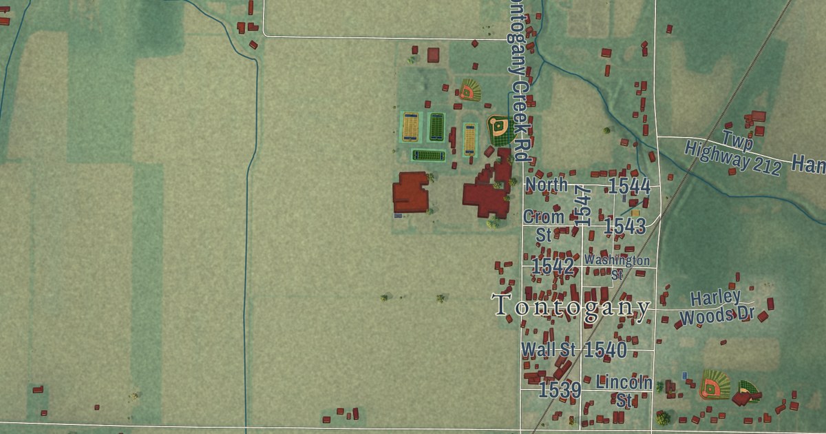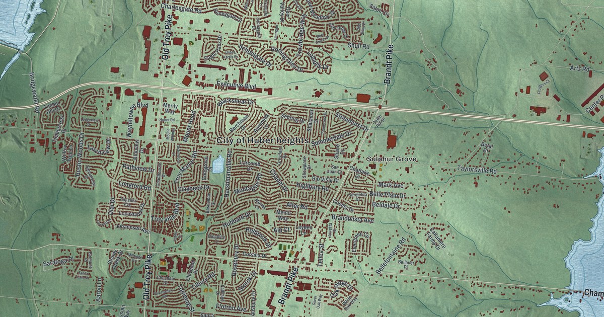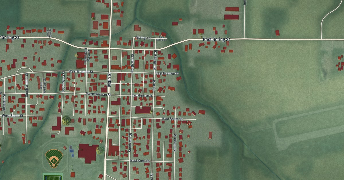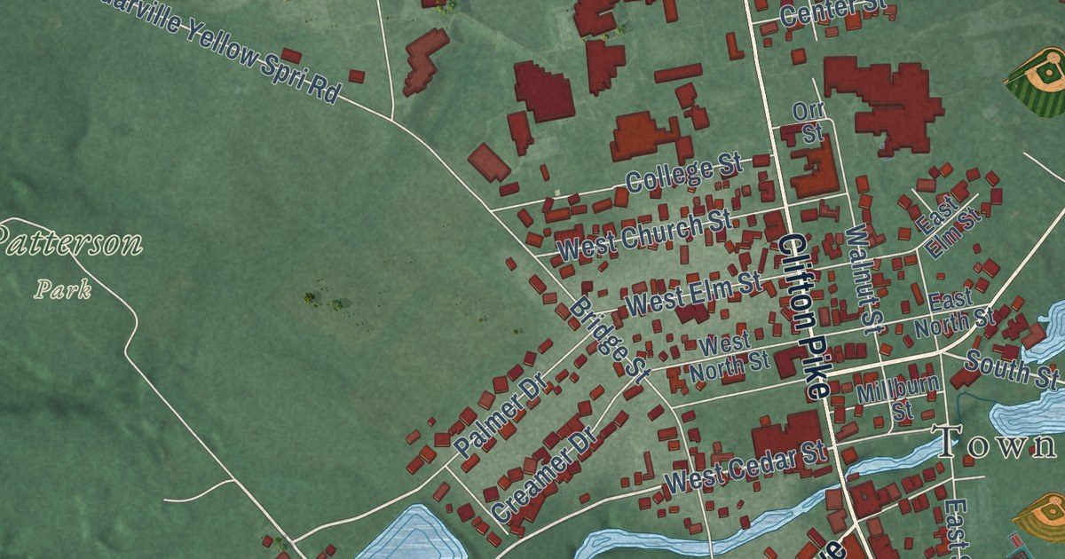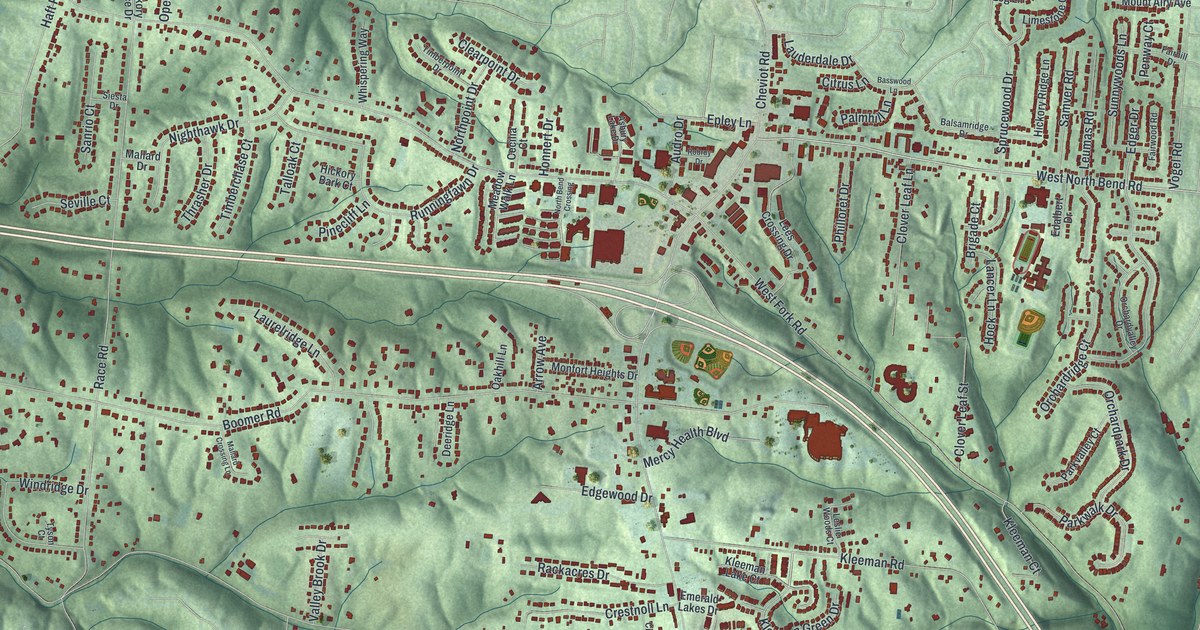
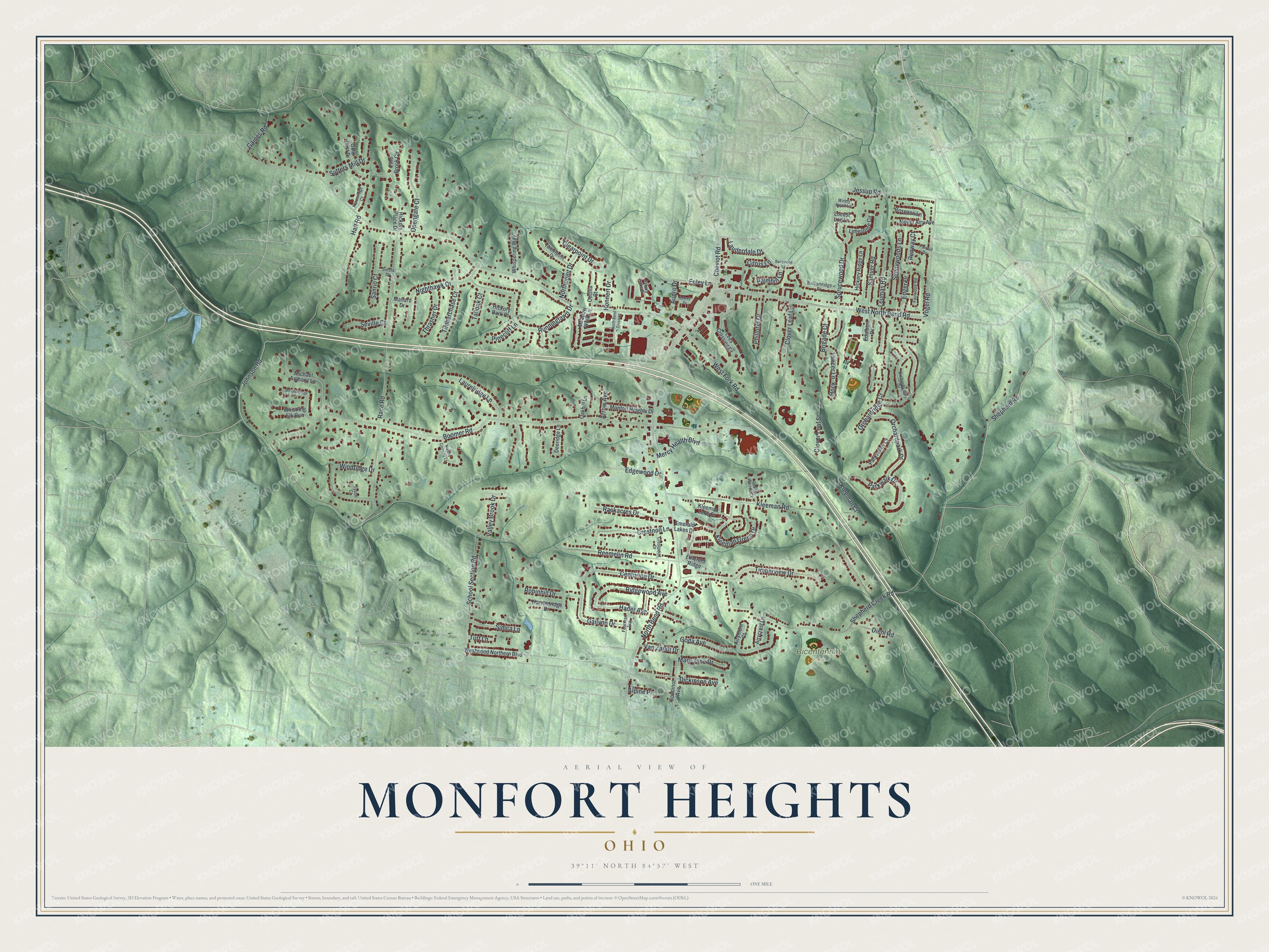
This beautifully detailed map of Monfort Heights, Ohio was created in 2026 using aerial imagery combined with modern topographical, census, street and landmark data. It’s a one-of-a-kind view of Monfort Heights that combines accurate data with a vintage aesthetic. The map shows every building in its true location, many of the roads carry their names, and the shaded topographic relief shows the shape of the land.
Explore an aerial view of Monfort Heights, Ohio
On the map you’ll find Bicentennial Park, along with Shepherd Road, West North Bend Road, Johnson Road, West Fork Road, North Bend Road, Reemelin Road, Boomer Road, Race Road, Kleeman Road, Diehl Road, Haft Road, and more. If you look closely you can even find your house accurately drawn in its correct location. Zoom in on the preview to look for yours.
Did you know this piece of Monfort Heights, Ohio history?
From Green Township in Hamilton County: "The Monfort Heights area of Green Township was named by residents in 1926 for the area formerly known as Weisenbrugh or Wisenburg. The name was taken from the Monfort Post Office, established around 1900, which was located on Burnt Schoolhouse Road."
Take a closer look at the Monfort Heights map
Street and place names on the Monfort Heights, Ohio map
These names are printed on the map of Monfort Heights, Ohio.
Places: Bicentennial Park.
Streets and roads: Shepherd Road, West North Bend Road, Johnson Road, West Fork Road, North Bend Road, Reemelin Road, Boomer Road, Race Road, Kleeman Road, Diehl Road, Haft Road, Sprucewood Drive.
More street names, A to Z
Airycrest Lane, Airymont Court, Alpine Place, Arrow Avenue, Asbury Lake Drive, Audro Drive, Balsamridge Drive, Basswood Lane, Boudinot Avenue, Breckenridge Drive, Brigade Court, Cecilia Court, Centurion Drive, Cheviot Road, Citrus Lane, Clearpoint Drive, Clover Leaf Lane, Clover Leaf Street, Crestnoll Lane, Crestpoint Drive, Deeridge Lane, Dickinson Avenue, Edalbert Drive, Edger Drive, Edgewood Drive, Emerald Lakes Drive, Emerald Ridge, Epley Lane, Fairhill Drive, Fairwood Road, Fearman Avenue, Gailynn Drive, Gaines Road, Goda Avenue, Gold Dust Drive, Hader Avenue, Harvestridge Drive, Hickory Bark Court, Hickory Place Drive, Hickory Ridge Lane, Hock, Honnert Drive, Jessup Road, Klausridge Court, Kleeman Court, Kleeman Green Drive, Kleeman Lake Court, Lancer Lane, Lauderdale Drive, Laurelridge Lane, Lees Crossing Drive, Leslie Woods Court, Leumas Road, Limestone Circle, Locust Log Lane, Mallard Crossing Lane, Mallard Drive, Mary Jane Drive, Meadow Walk Lane, Mercy Health Boulevard, Michael Anthony Lane, Monfort Heights Drive, Mount Airy Avenue, Nighthawk Drive, North Bend Crossing, Northpoint Drive, Oakhill Lane, Opengate Court, Orchardpark Drive, Orchardridge Court, Orchardvalley Drive, Palmhill Lane, Parkvalley Court, Parkwalk Drive, Penway Court, Philloret Drive, Pine Brook Circle, Pinecliff Lane, Rackacres Drive, Ridgewood Avenue, Robinhill Drive, Robroy Drive, Roseann Lane, Runningfawn Drive, Samver Road, Sanrio Court, School Section Road, Seville Court, Shepherd Creek Road, Siesta Drive, Simca Lane, Sunnywoods Lane, Sutters Mill Drive, Talloak Court, Thrasher Drive, Timberchase Court, Timberpoint Drive, Timberview Drive, Turf Lane, Tyson Court, Valley Brook Drive, Van Zandt Drive, Vogel Road, Westwood Northern Boulevard, Whispering Way, Whistling Elk Run, Windridge Drive, Windy Knoll Lane.
See the Monfort Heights, Ohio map on a wall
The Monfort Heights map as an 18 x 24 inch print in a black frame.

This beautifully detailed map of Monfort Heights makes an attractive addition to your office, library, or den, and it can even be used to teach children the geography and history of the area. It also makes a great gift for anyone with Monfort Heights roots. When you’re done exploring, click here to get your copy of the Monfort Heights map.