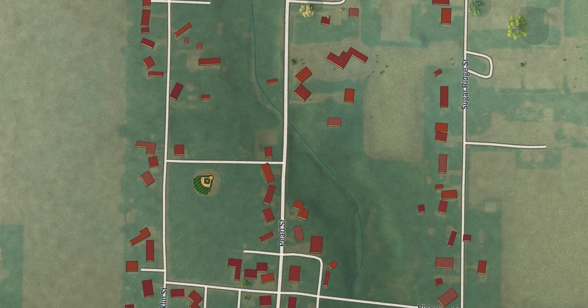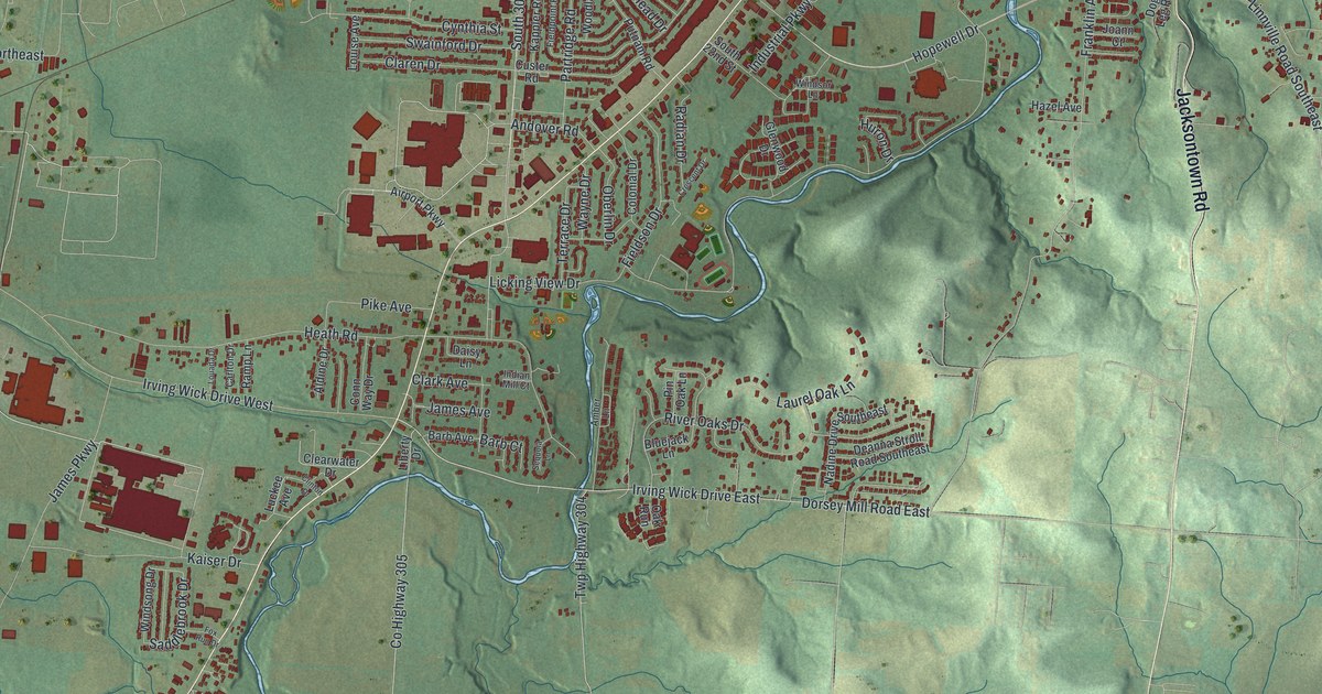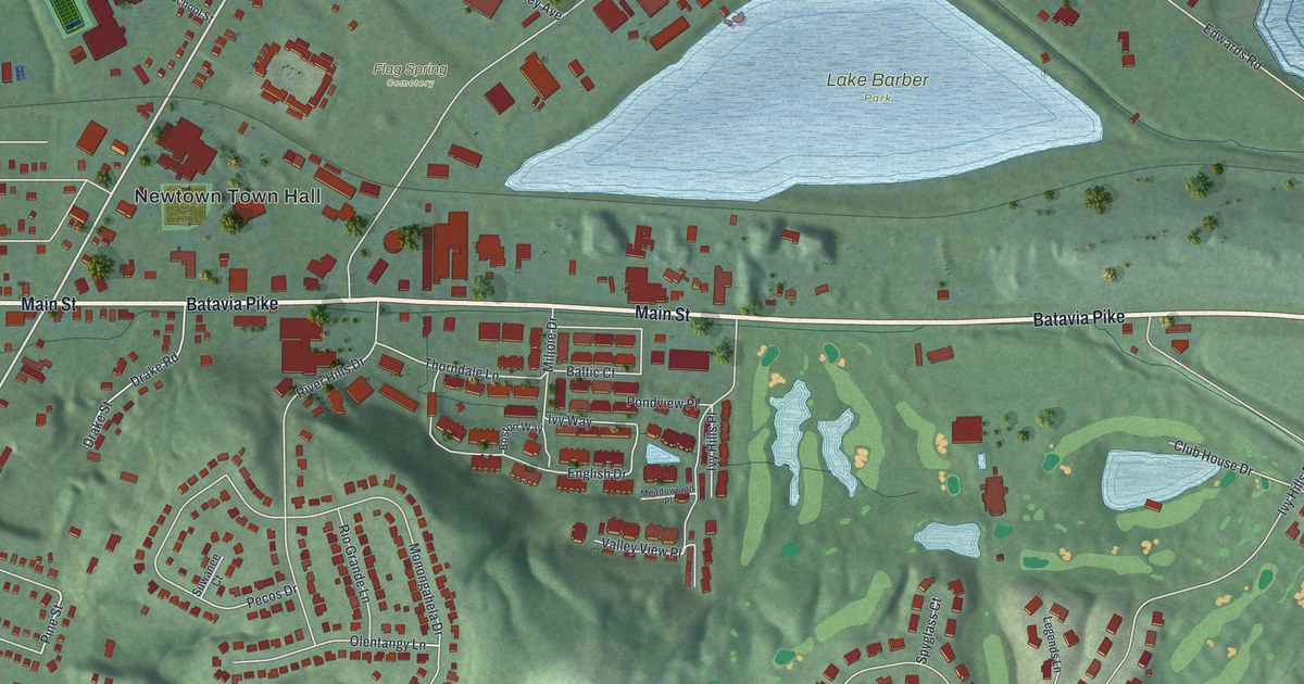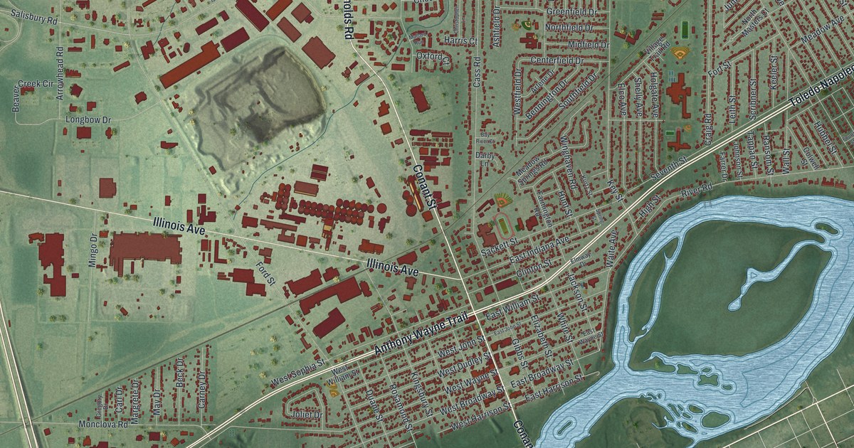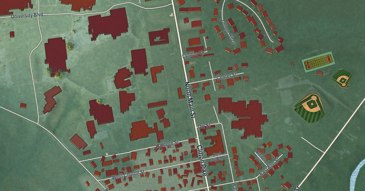
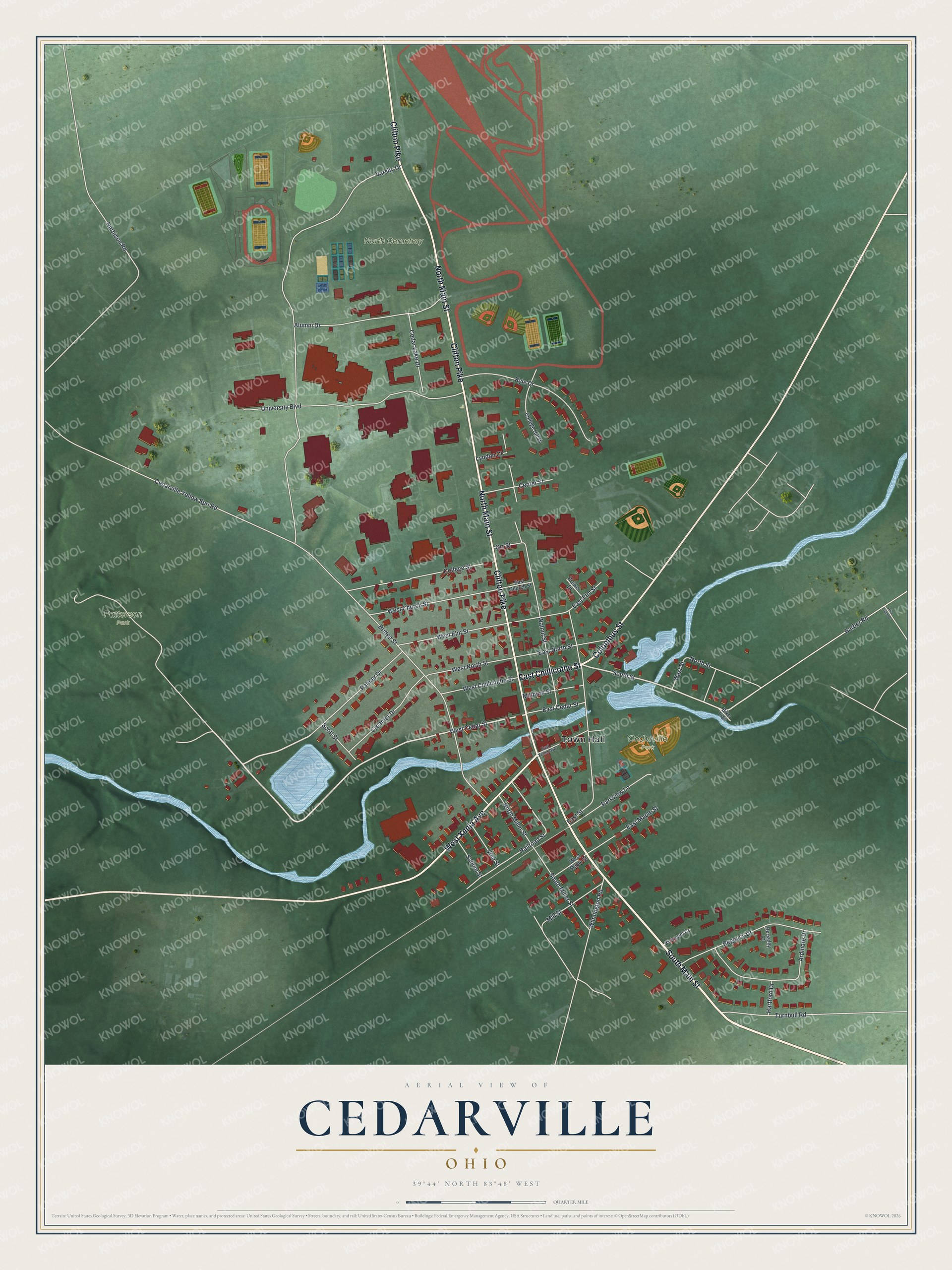
This beautifully detailed map of Cedarville, Ohio was created in 2026 using aerial imagery combined with modern topographical, census, street and landmark data. It's a modern aerial view of Cedarville in Greene County, Ohio, that combines modern data with a vintage aesthetic. The roads feature printed names, and if you look closely you can find your exact house accurately shown in its correct location.
Explore an aerial view of Cedarville, Ohio
On this map you'll find Town Hall, Cedarville Park, Patterson Park, North Cemetery, East Chillicothe Street, South Main Street, Clifton Pike, North Main Street, West Xenia Avenue, Columbus Street, West Cedar Street, South Street, and more. Each red shape is a building, so zoom in on the preview and look for yours.
Here is a piece of Cedarville history, in the words of the record. The Internet Archive puts it this way: "In southern Ohio, no local name can be selected
so appropriate, and free from ambiguity as the Cedarville lime-
stone, constituting, as it does, the only member of the Niagara series
shown in the extensive quarries opened at this village."
Cedarville is a village in Greene County. The Census Bureau counted 4,257 people here in 2020.
Take a closer look at the Cedarville map
Names on this map
These names are printed on this map.
Places: Town Hall, Cedarville Park, Patterson Park and North Cemetery.
Streets and roads: East Chillicothe Street, South Main Street, Clifton Pike, North Main Street, West Xenia Avenue, Columbus Street, West Cedar Street, South Street, Varsity Drive, Bridge Street, Cedarville Yellow Spri Road, Walnut Street.
More street names, A to Z
Alumni Drive, Ardmore Drive, Barber Road, Berkeley Court, Bike Trail, Brewer Drive, Cedar Lake Drive, Center Street, College Hill Drive, College Street, Creamer Drive, East Cedar Street, East Church Street, East Elm Street, East Maple Street, East North Street, East Street, East Xenia Avenue, Harbison Road, Hartford Drive, Kirkmont Court, Kyle Drive, Lyndon Court, Millburn Street, Mill Street, North Miller Street, North Street, Orr Street, Palmer Drive, Parkview Lane, Railroad Street, Regency Drive, Riva Trace Drive, School Street, Scott Street, South Miller Street, Turnbull Road, University Boulevard, Vine Street, West Chillicothe Street, West Church Street, West Elm Street, West Maple Street, West North Street, West Street, Wilmington Road.
Created by KNOWOL in 2026. The buildings are small red shapes, the roads carry their printed names, and shaded relief shows the shape of the land. The title panel reads "AERIAL VIEW OF CEDARVILLE OHIO" with 3, 9, °, 4, 4, ', , N, O, R, T, H, , 8, 3, °, 4, 8, ', , W, E, S, T.
It suits a den, a classroom or a front hall, and it makes a gift for anyone with Cedarville roots. Open the preview and find the block you know. See sizes and frames for the Cedarville map.