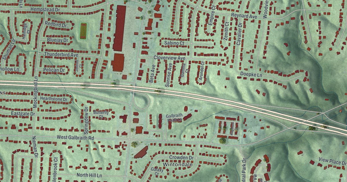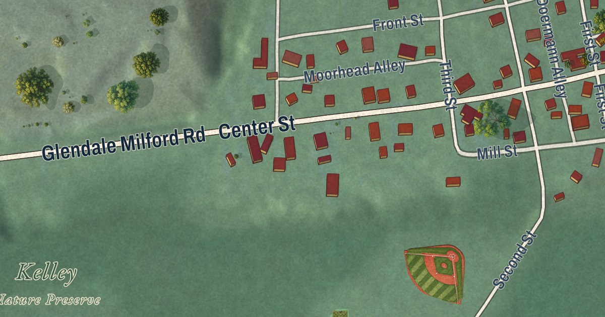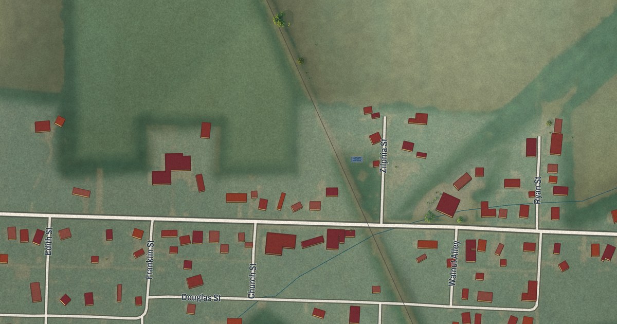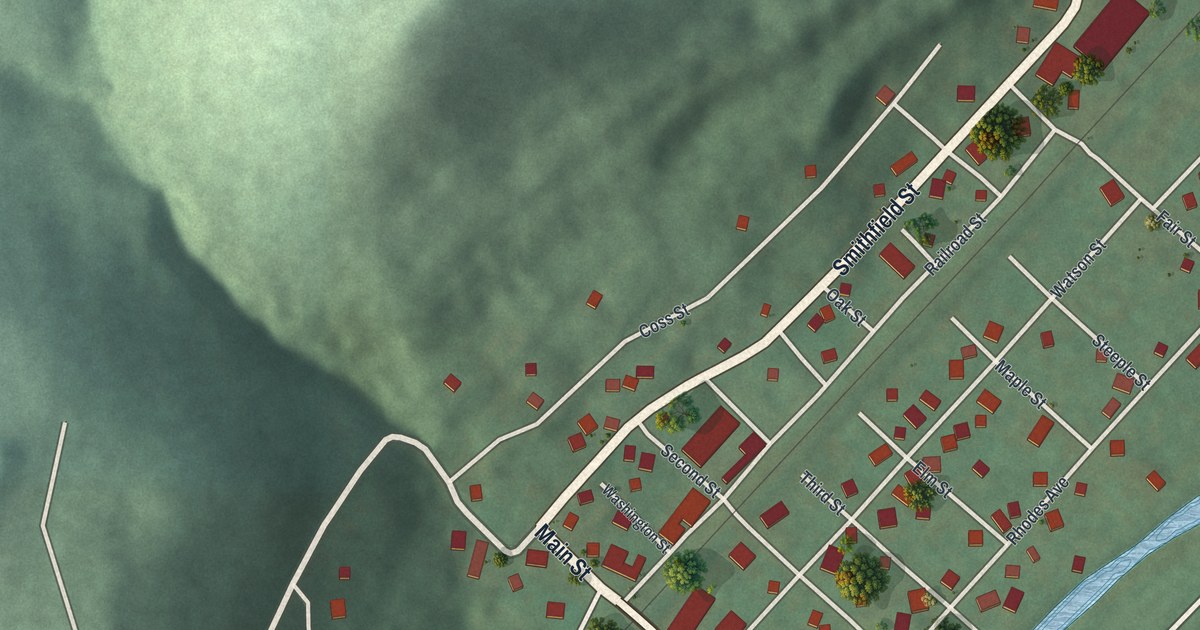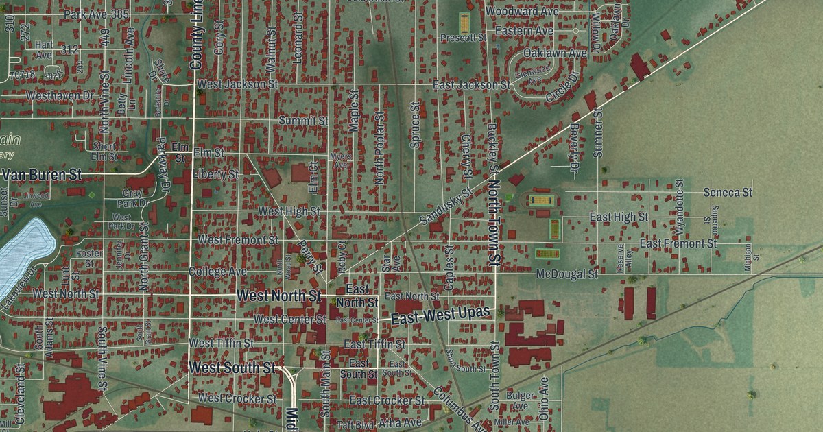
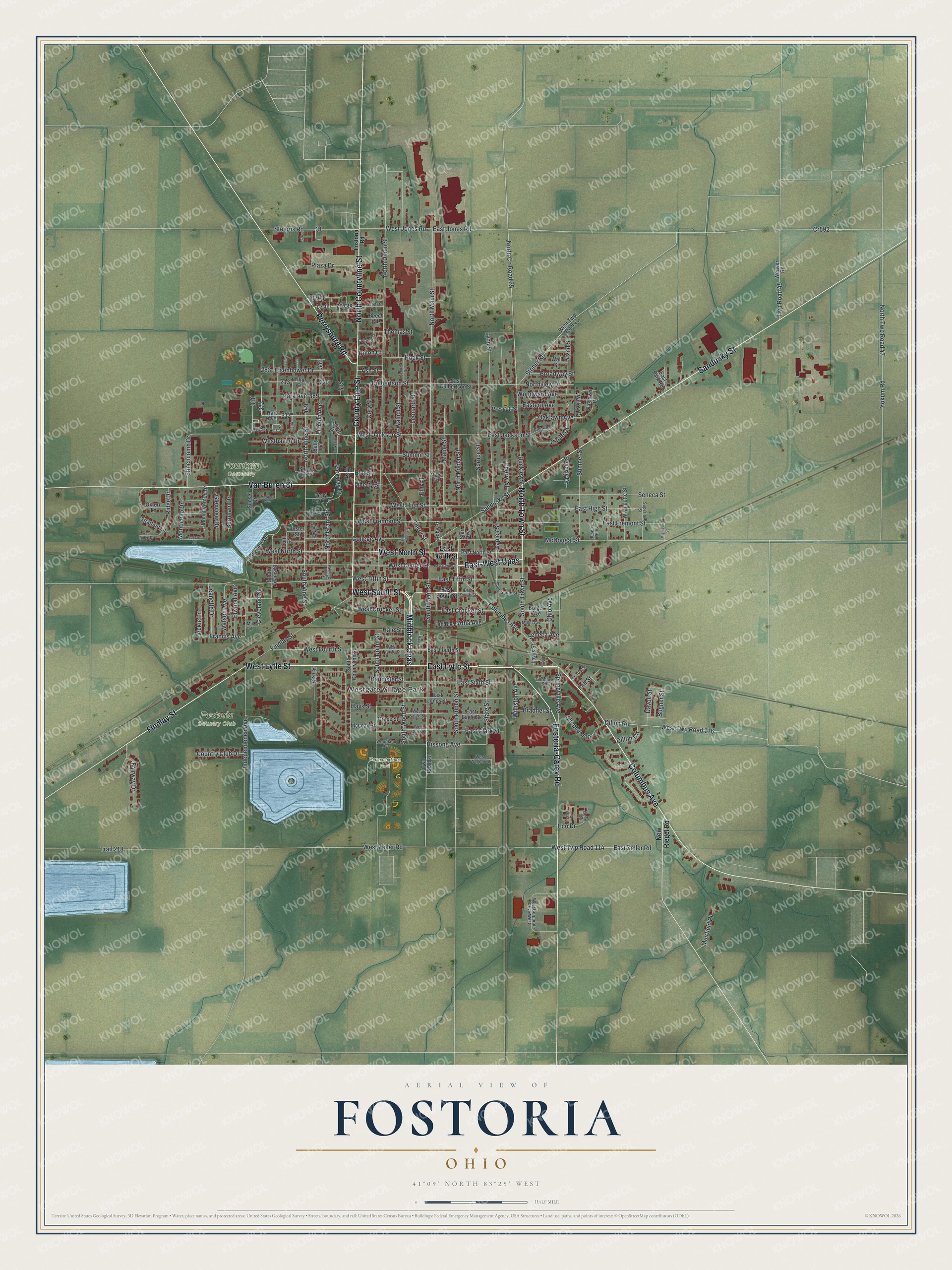
This beautifully detailed map of Fostoria, Ohio was created in 2026 using aerial imagery combined with modern topographical, census, street and landmark data. It’s a one-of-a-kind view of Fostoria that combines accurate data with a vintage aesthetic. The map shows every building in its true location, many of the roads carry their names, and the shaded topographic relief shows the shape of the land.
Explore an aerial view of Fostoria, Ohio
On the map you’ll find Westgate Village Park, Fostoria Country Club, Foundation Park, Fountain Cemetery, Midblock Upas, and East-West Upas, along with West South Street, North Countyline Street, County Line Street, North Town Street, West Lytle Street, East Lytle Street, and more. If you look closely you can even find your house accurately drawn in its correct location. Zoom in on the preview to look for yours.
Did you know this piece of Fostoria, Ohio history?
Fostoria began in 1854 when the towns of Rome and Risdon merged. Their Methodist churches joined on land given by Charles W. Foster. In thanks, the new town was named Fostoria. His son Charles became the 35th governor of Ohio and Secretary of the Treasury under President Benjamin Harrison.
Take a closer look at the Fostoria map
Street and place names on the Fostoria, Ohio map
These names are printed on the map of Fostoria, Ohio.
Places: Westgate Village Park, Fostoria Country Club, Foundation Park and Fountain Cemetery.
Streets and roads: West South Street, Midblock Upas, North Countyline Street, County Line Street, East-West Upas, North Town Street, West Lytle Street, East Lytle Street, Findlay Street, West North Street, Sandusky Street, Columbus Avenue.
More street names, A to Z
42nd Street, Arbor Street, Ash Street, Atha Avenue, Bannister Street, Beech Street, Beier Drive, Berkshire Drive, Betty Lane, Beverly Drive, Bradner Street, Broadway Street, Buckley Street, Bugner Street, Bulger Avenue, Burnham Drive, Caples Street, Cherry Street, Circle Drive, Cleveland Street, College Avenue, Colonial Drive, Cory Street, Country Club Drive, Cr592, Culbertson Street, Davoli Street, Dillon Circle, Dillon Road, East Center Street, East Clark Street, East Crocker Street, East Culbertson Street, East Eagle Street, Eastern Avenue, East Fourth Street, East Fremont Street, East High Street, East Jackson Street, East Jones Road, East Jones Street, East North Street, East Park Road, East Sixth Street, East South Street, East Tiffin Street, East Zeller Road, Eco Drive, Eisenhower Drive, Elm Court, Elm Street, Elwood Avenue, Fairway Drive, Fall Street, Foster Street, Fostoria-Carey Road, Fostoria Road, Francis Avenue, Gerlock Drive, Glenview Drive, Glenwood Avenue, Gormley Street, Grape Street, Gray Park Drive, Hale Drive, Hale Street, Hart Avenue, Hays Street, Hissong Avenue, Independence Avenue, Jeanette Drive, Jennifer Drive, Kennard Street, Kirk Street, Lakeview Drive, Leonard Street, Lester, Lewis Street, Liberty Street, Lincoln Avenue, Linwood Avenue, Lunt Street, Lynn Street, Maple Street, McDougal Street, McLean Street, Michigan Street, Miller Avenue, Mill Street, Monticello Drive, Mount Vernon Drive, Muirfield Place, Myers Avenue, New Riegel Road, Nichols Street, North County Road 25, North Grant Street, North Main Street, North Poplar Street, North Twp Road 47, North Union Street, Northview Drive, North Vine Street, North Wood Street, Oaklawn Avenue, Oaklawn Drive, Ohio Avenue, Oxford Lane, Park Avenue, Parkway Drive, Peeler Drive, Perrysburg Road, Perry Street, Plaza Drive, Prescott Street, Reserve Alley, Ridge Drive, Roby Court, Rock Street, Roosevelt Road, Seneca Avenue, Seneca Street, Shepherd Drive, Shore Drive, Short Elm Street, Short South Street, South Adams Street, South Countyline Street, South Grant Street, South Main Street, South Poplar Street, South Town Street, South Union Street, South Vine Street, South Wood Street, Springville Avenue, Spruce Street, Star Avenue, State Street, Stearns Road, Stinchcomb Drive, Stoner Road, Stratford Lane, Summit Street, Sumner Street, Sunset Drive, Superior Street, Taft Boulevard, Terry Lane, Thomas Street, Trail 218, Twp Road 20, Twp Road 45, Union Court, Van Buren Street, Vickie Lane, Wall Street, Walnut Street, Watson Avenue, Weaver Road, West Center Street, West Clark Street, West Corporate Drive West, West Crocker Street, West Eagle Street, West Fourth Street, West Fremont Street, Westhaven Drive, West High Street, West Jackson Street, West Jones Road, West Park Drive, West Ridge Drive, West Tiffin Street, West Twp Road 41, West Twp Road 114, West Twp Road 116, West Wagner Street, West Zeller Road, Williston Avenue, Willow Drive, Woodland Avenue, Woodward Avenue, Wyandotte Street, Yokum Road.
See the Fostoria, Ohio map on a wall
The Fostoria map as an 18 x 24 inch print in a black frame.

This beautifully detailed map of Fostoria makes an attractive addition to your office, library, or den, and it can even be used to teach children the geography and history of the area. It also makes a great gift for anyone with Fostoria roots. When you’re done exploring, click here to get your copy of the Fostoria map.