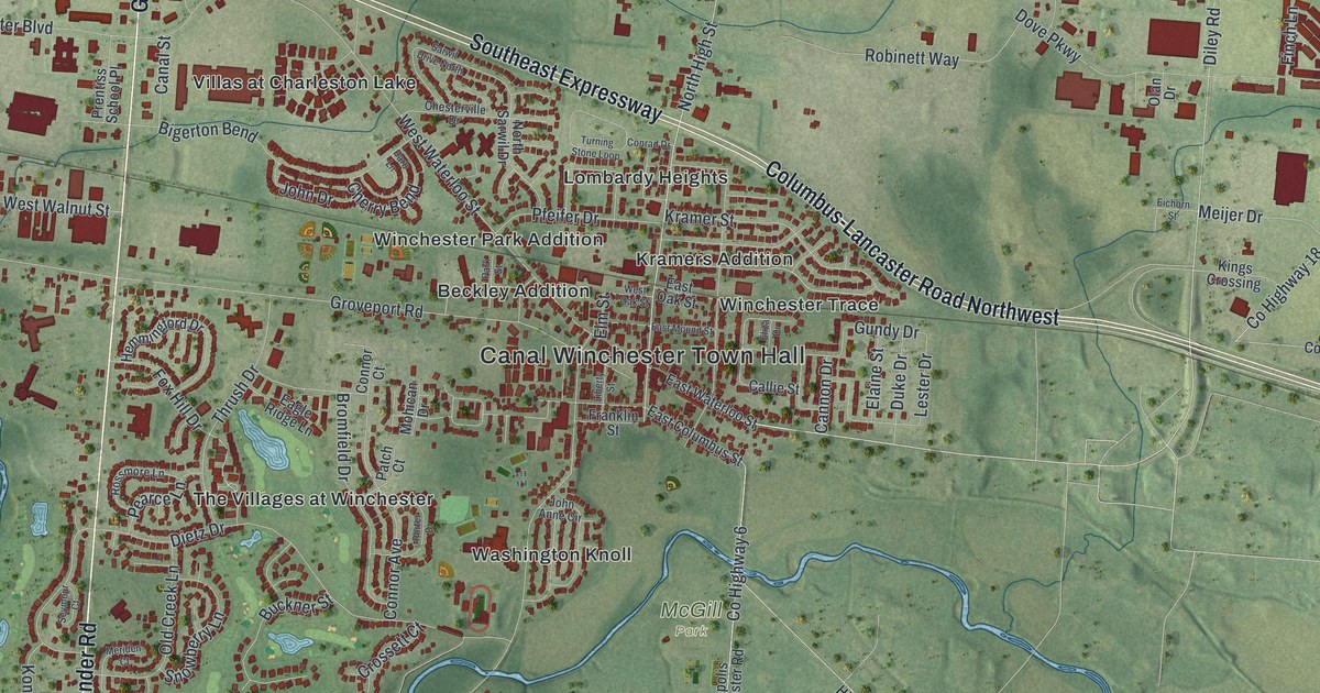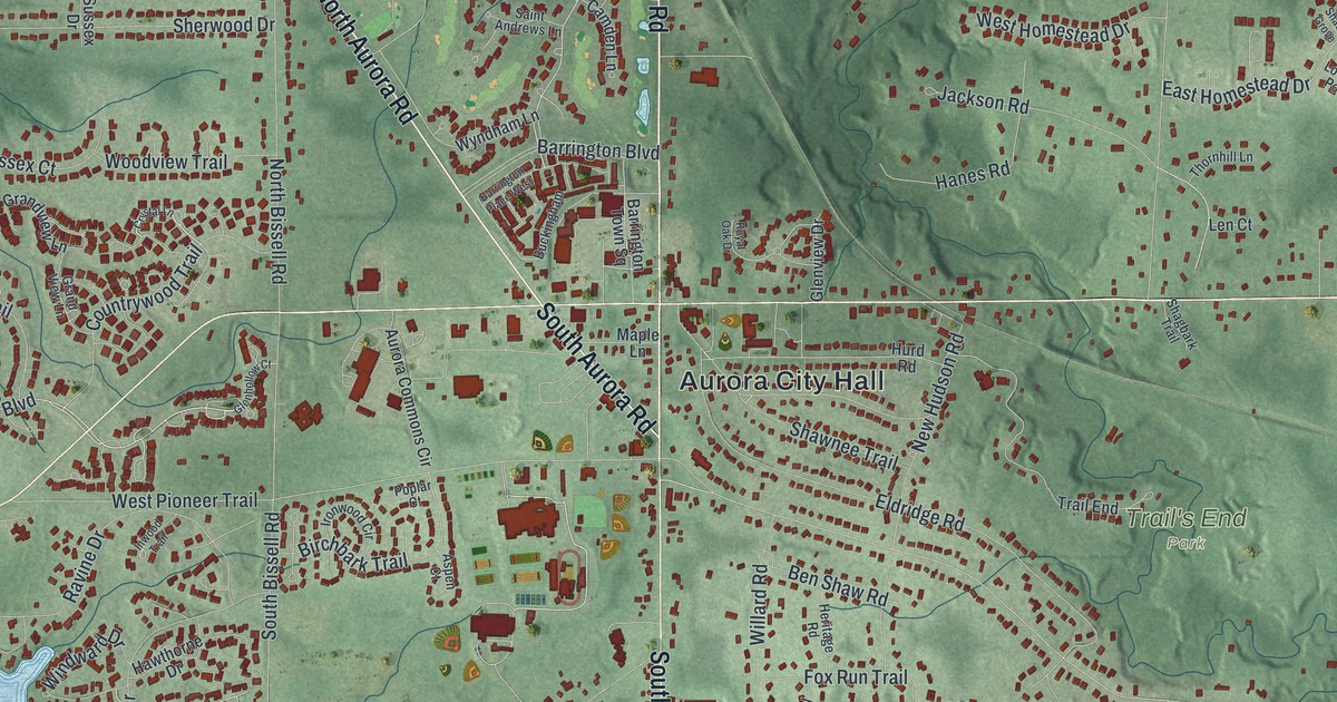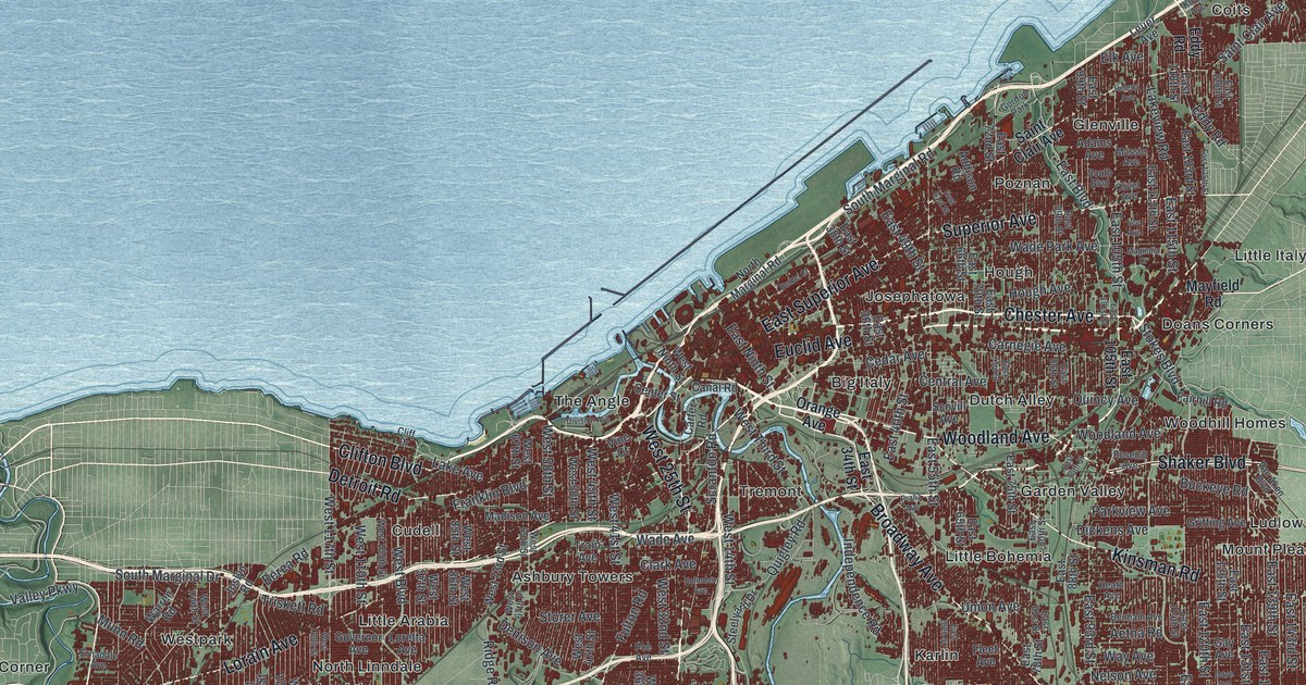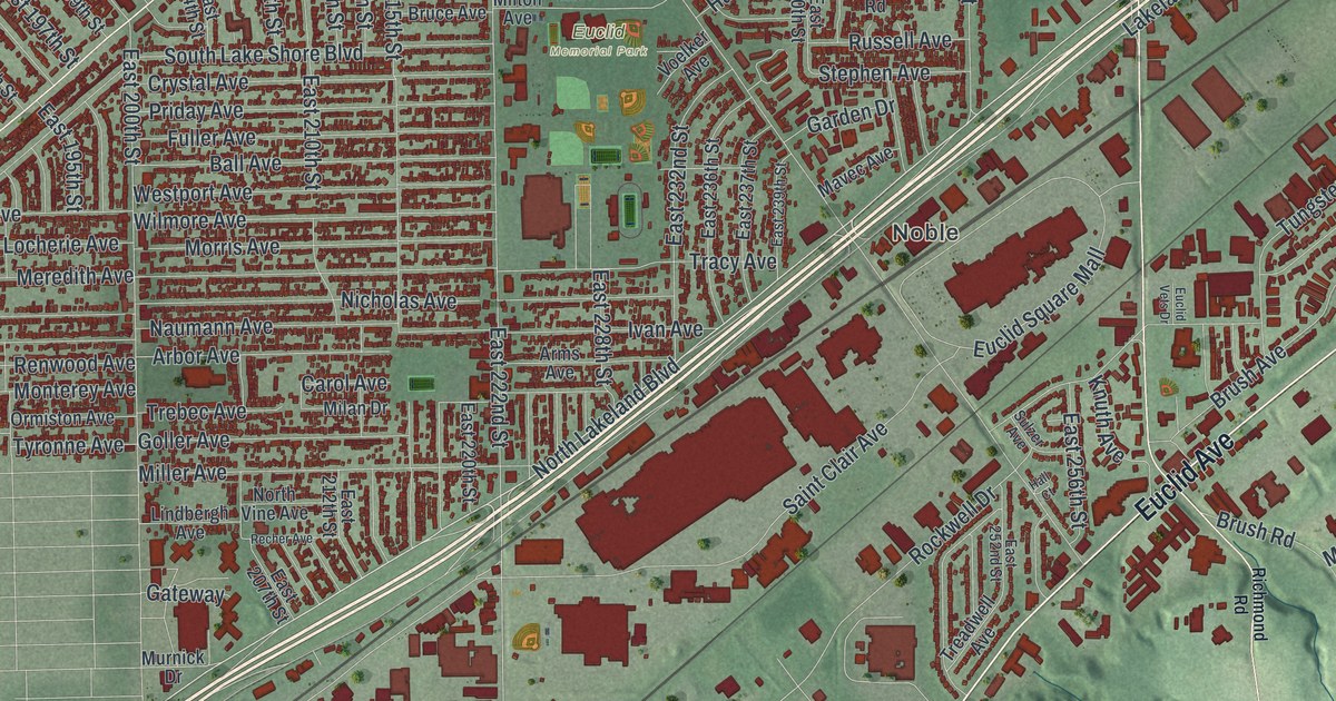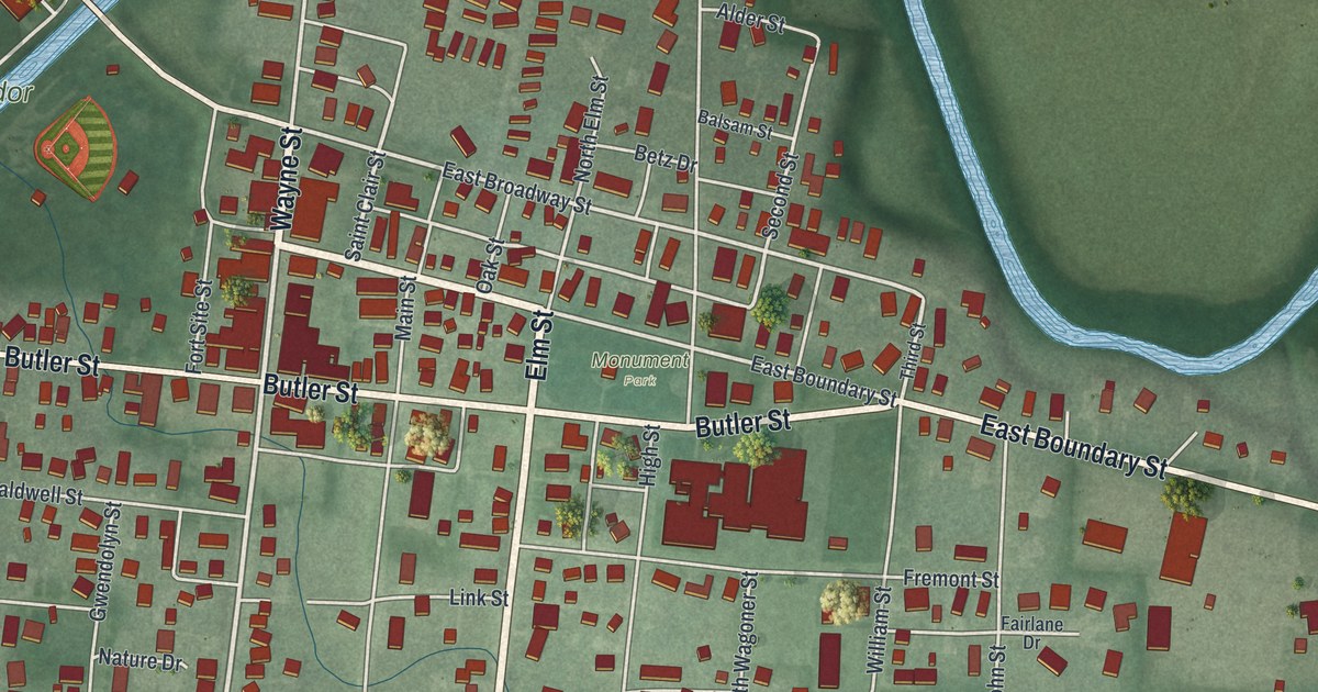
If you grew up on Wayne Street or know the log cabin and museum on Fort Site Street, this map is about your town. It's a new aerial view of Fort Recovery in Mercer County, Ohio, built from modern data and given a soft, vintage look. A blue river winds across the top of the sheet. Below it, the village spreads out from Butler Street and Wayne Street, with more than a thousand red buildings, ball fields and a running track.
The fort that gave Fort Recovery its name
On this map you'll find Wayne Street, Butler Street, Elm Street, Fort Site Street, Saint Clair Street, East Broadway Street, Main Street, Greenville Road, Little Turtle Drive, Blue Jacket Drive, Monument Park, Ambassador Park, and more. Each red shape is a building, so zoom in on the preview and look for yours.
Fort Recovery's story starts with a battle. In 1791, President George Washington sent General Arthur St. Clair west to break Indian resistance in the Ohio country. After a hard two-month march, his troops camped on the Wabash River, just east of the Indiana line. At dawn on November 4, Miami, Shawnee and Delaware warriors attacked. They were led by Little Turtle and Blue Jacket. By nightfall, nearly three out of four American soldiers were killed or wounded. The Ohio History Connection's marker calls it the worst defeat the U.S. Army ever suffered against Native Americans in a single battle.
Why it's called Fort Recovery
Later, a fort was built on the same ground. Henry Howe's 1891 history says it was named Fort Recovery because the ground was taken back from the Indians who had held it in 1791. Howe writes that on June 30 a large force of Indians and British rushed a detachment of American troops, ninety riflemen and fifty dragoons under Major McMahon, and attacked the fort on every side. The same Ohio History Connection marker is titled St. Clair's Defeat, 1791 / Wayne's Victory, 1794.
Today the marker stands in front of the historical society's log cabin, across Fort Site Street from the state museum. Look at the printed names around it. Wayne Street, Saint Clair Street, Little Turtle Drive and Blue Jacket Drive all carry names from that story. On Wayne Street, the Morvilius Opera House was added to the National Register of Historic Places in 2022.
From Fort Site Street to Greenville Road
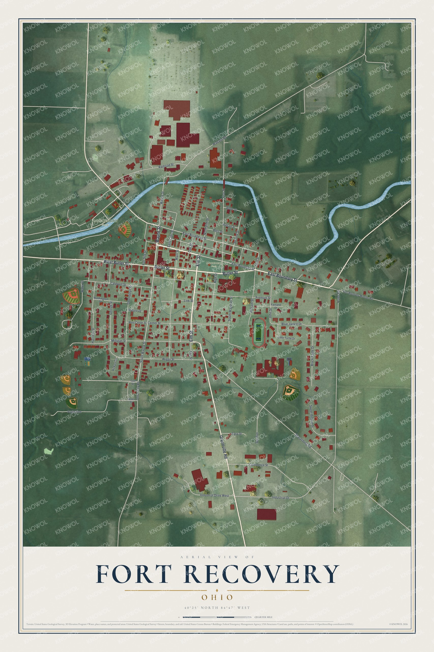
Created by KNOWOL in 2026, this print shows Fort Recovery from above in soft greens, with a blue river, cream roads and red buildings. The title panel at the bottom reads "Aerial View of Fort Recovery, Ohio" with the coordinates 40°25' North 84°47' West.
It fits a living room, a den or an office wall. It's a good gift for anyone who grew up near Fort Site Street and the St. Clair's Defeat marker, or for family who moved away and still call Fort Recovery home. Open the preview and find your street. See sizes and frames for the Fort Recovery map.