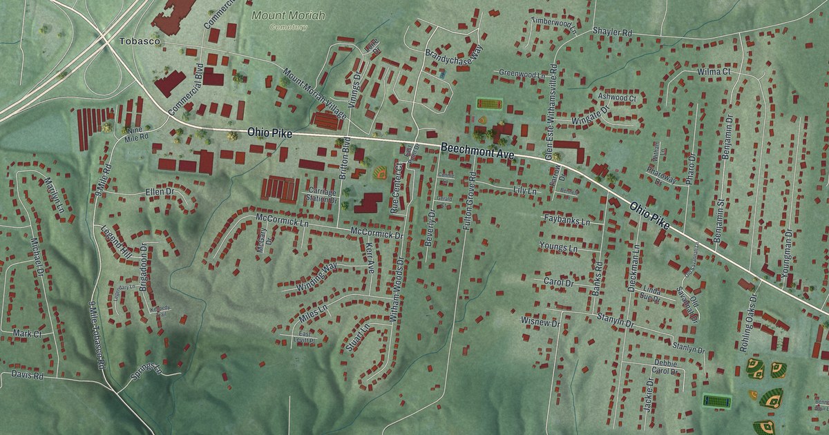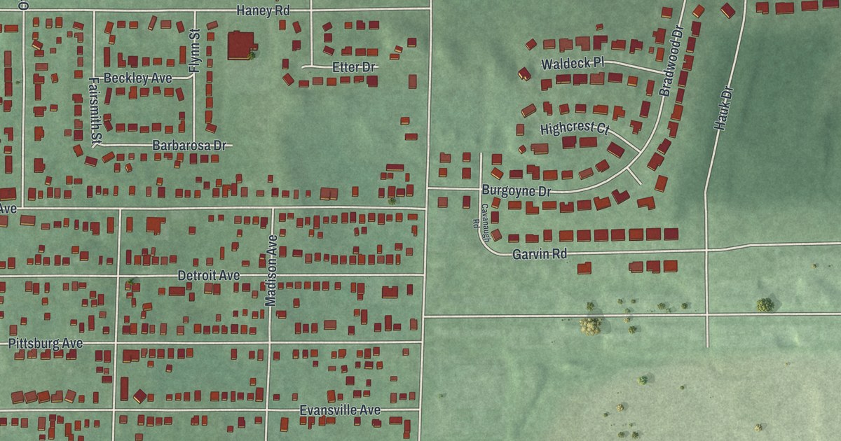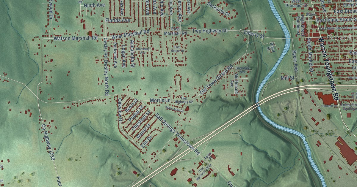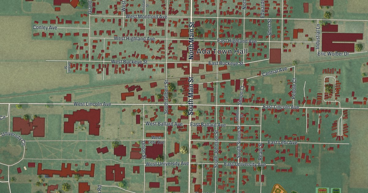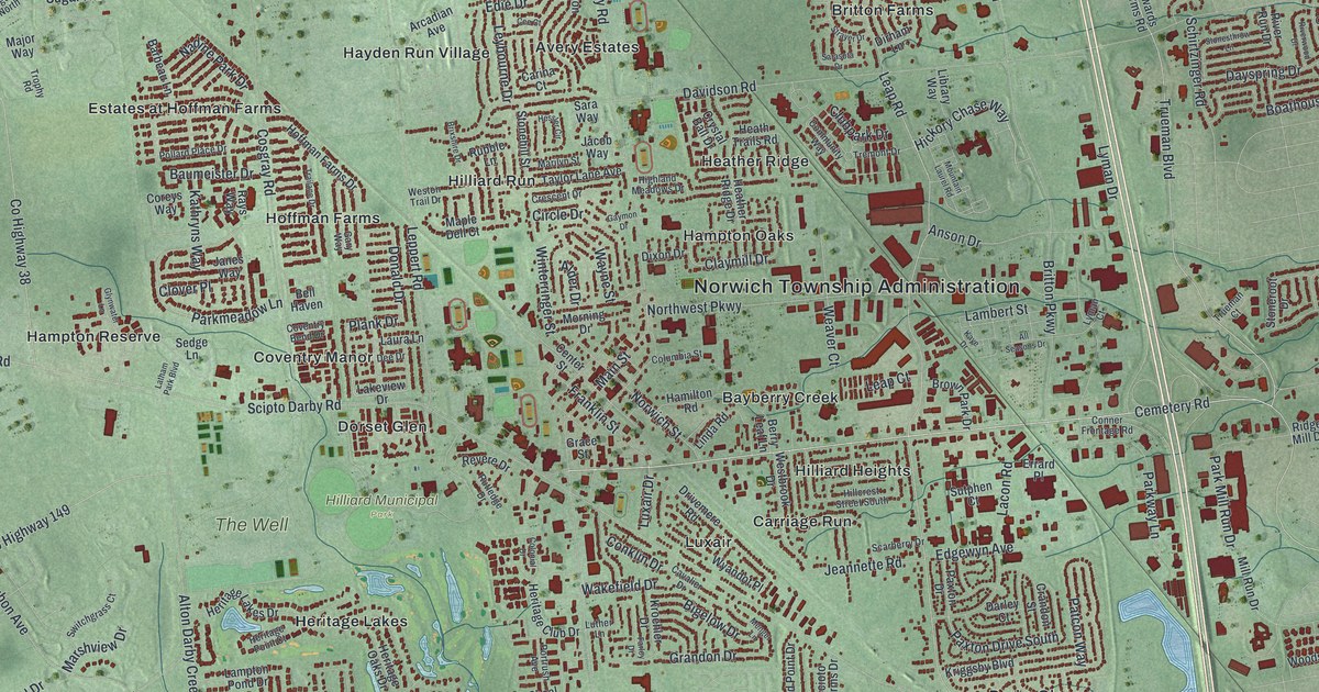
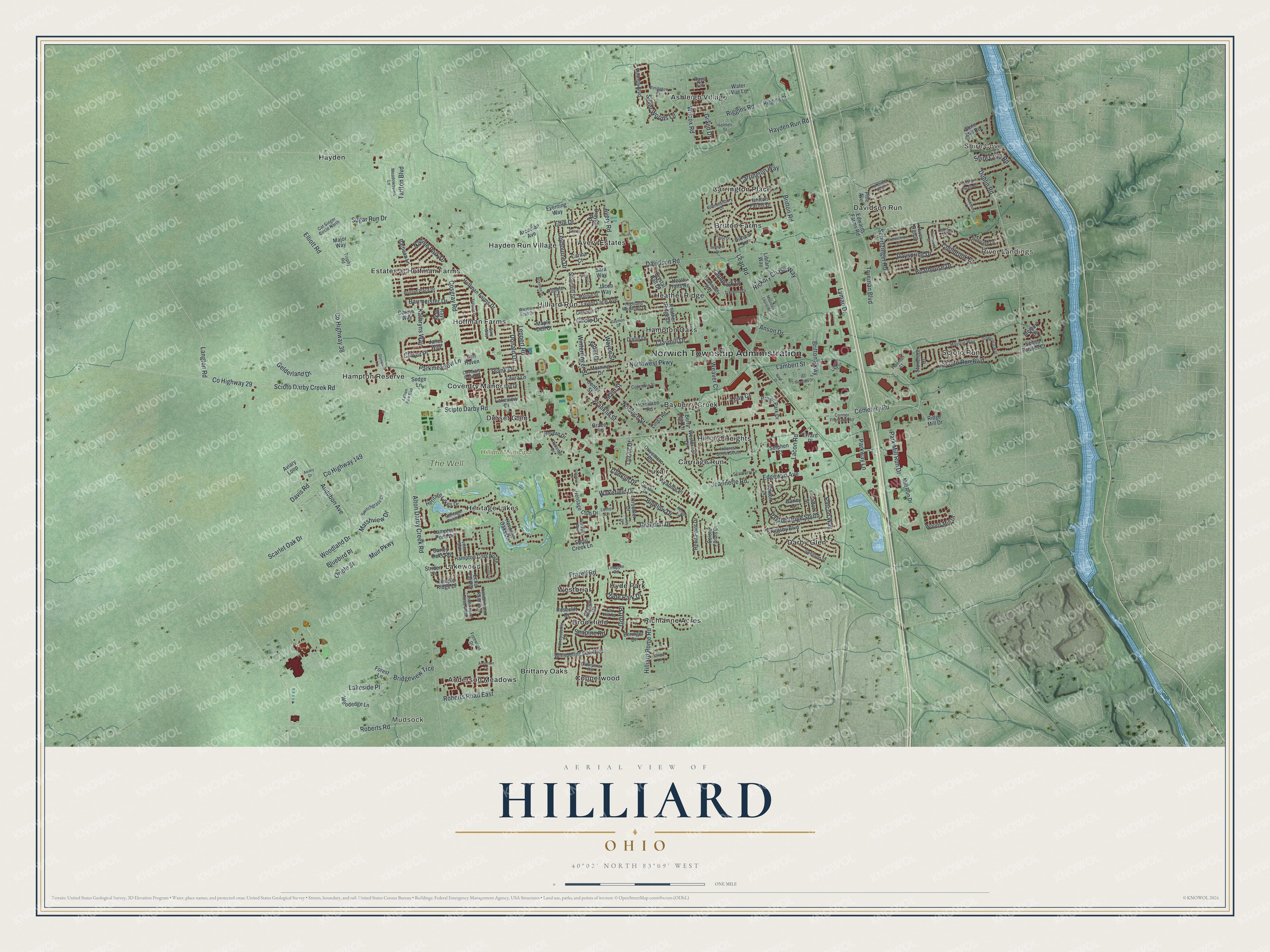
This beautifully detailed map of Hilliard, Ohio was created in 2026 using aerial imagery combined with modern topographical, census, street and landmark data. It’s a one-of-a-kind view of Hilliard that combines accurate data with a vintage aesthetic. The map shows every building in its true location, many of the roads carry their names, and the shaded topographic relief shows the shape of the land.
Explore an aerial view of Hilliard, Ohio
On the map you’ll find Norwich Township Administration, Shire Cove, Mudsock, River Landings, Hilliard Municipal Park, The Well, Anderson Meadows, Ashleigh Village, Avery Estates, Bayberry Creek, Brittany Oaks, Britton Farms, and more. If you look closely you can even find your house accurately drawn in its correct location. Zoom in on the preview to look for yours.
Did you know this piece of Hilliard, Ohio history?
In 1852 John Reed Hilliard purchased a 10 acre farm on the western side of Franklin County. The settlement grew around a railroad depot and was first known as Hilliard’s Station. He platted it in 1853. When a post office opened in 1854, the town dropped Station from its name.
Take a closer look at the Hilliard map
Street and place names on the Hilliard, Ohio map
These names are printed on the map of Hilliard, Ohio.
Places: Norwich Township Administration, Shire Cove, Mudsock, River Landings, Hilliard Municipal Park, The Well, Anderson Meadows, Ashleigh Village, Avery Estates, Bayberry Creek, Brittany Oaks, Britton Farms, Brookfield, Carriage Run, Carrington Place, Copperwood, Coventry Manor, Darby Glen, Davidson Run, Dorset Glen, Estates at Hoffman Farms, Hampton Oaks, Hampton Reserve, Hayden, Hayden Run Village, Heather Ridge, Heritage Lakes, Hilliard Heights, Hilliard Run, Hoffman Farms, Hyde Park, Lakewood, Luxair, Richlanne Acres, Scioto Run and Westbriar.
Streets and roads: Cemetery Road, Dublin Road, Scioto Darby Creek Road, Trueman Boulevard, Hickory Chase Way, Plank Drive, Leap Road, Parkmeadow Lane, Paxton Drive South, Claymill Drive, Donald Drive, Davidson Road.
More street names, A to Z
Alder Drive, All Seasons Drive, Alton Darby Creek Road, Anchorage Lane, Anderson Drive, Anson Drive, Arcadian Avenue, Audubon Avenue, Avery Road, Aviary Drive, Aviary Loop, Barbeau Lane, Barley Oaks Road, Baumeister Drive, Bell Haven, Beringer Drive, Berry Leaf Lane, Bigelow Drive, Bluebird Place, Boathouse Drive, Bohlen Drive, Bridgeview Trce, Britton Farms Drive, Britton Parkway, Britton Road, Brixshire Drive, Brown Park Drive, Carina Court, Carrington Way, Cassey Street, Cat Singer Circle North, Cavalier Drive, Cee Court, Center Street, Circle Drive, Clover Place, Clubpark Drive, Colonial Drive, Columbia Street, Community Way, Conklin Drive, Conner Frontage Road, Coolbrook Drive, Coreys Way, Cosgray Road, County Highway 29, County Highway 38, County Highway 149, Coventry Bend Drive, Crandon Street, Crescent Drive, Crystal Ball Drive, Darley Court, Davis Road, Dayspring Drive, Dee Drive, Dirham Lane, Dixon Drive, Drayton Road, Drivemere Road, Echo Park Drive, Edgewyn Avenue, Edie Drive, Edwards Farms Road, Elliott Road, Errard Place, Eventing Way, Farley Drive, Forest Lane, Fox Hill Road, Franklin Street, Frazell Road, Freewood Drive, Gary Way, Gaymon Drive, Gelderland Drive, Glanstonbury Drive, Glynwater Lane, Goldenseal Way, Grace Street, Grand Drive, Grandon Drive, Groff Place, Hamilton Road, Hampton Cors North, Hayden Run Road, Heather Ridge Drive, Heath Trails Road, Heritage Club Drive, Heritage Lakes Drive, Heritage Oaks Drive, Heritage Point Court, Hessler Circle, Highland Meadows Drive, Hillcrest Street South, Hilliard Rome Road, Hoffman Farms Drive, Holmes Street, Honeysuckle Lane, Hyde Park Drive, Jacob Way, Janes Way, Jeannette Road, Kathryns Way, Kaye Drive, Kriggsby Boulevard, Kroehler Drive, Kul Circle North, Lacon Road, Lakeside Place, Lakeview Drive, Lambert Street, Lampton Pond Drive, Landen Farm Road East, Landen Farm Road West, Langton Road, Latham Park Boulevard, Laura Lane, Leap Court, Leppert Road, Leybourne Drive, Library Way, Linda Road, Luther Lane, Luxair Drive, Lyman Court, Lyman Drive, Main Street, Major Way, Maple Dell Court, Marilyn Street, Mark Twain Drive, Marshview Drive, Maystar Way, Meadowsview Lane, Melbury Drive, Mengel Lane, Mill Run Drive, Morning Drive, Mountain Laurel Road, Muir Parkway, Nadine Park Drive, Northwest Parkway, Norwich Street, Oarlock Court, Oldwynne Road, Oriole Street, Park Mill Run Drive, Parkway Lane, Patcon Way, Paxton Drive, Pine Avenue, Pollard Place Drive, Portrush Avenue, Rays Circle, Rays Way, Reed Point Drive, Revere Drive, Ridge Mill Drive, Riggins Court, Riggins Road, River Run Drive, Riverwood Drive, Roberts Road, Roberts Road East, Rosecliff Drive, Rubble Lane, Rutledge Drive, Sarasota Drive, Sara Way, Scarberry Drive, Scarlet Oak Drive, Schatz Lane, Schirtzinger Road, Scioto Darby Road, Scioto Estates Court, Scioto Farms Drive, Scioto Run Boulevard, Seapine Road, Sedge Lane, Shire Cove Road, Shire Mill Road, Shoal Creek Lane, Silver Woods Lane, Stonehill Street, Stoneroot Drive, Stonesthrow Lane, Strayer Drive, Strider Lane, Sugar Run Drive, Sutphen Court, Swenson Street, Switchgrass Court, Tarlton Boulevard, Taylor Lane Avenue, Temple Ridge Drive, Tinapple Road, Trailane Drive, Tremont Drive, Trophy Road, Trueman Court, Vicksburg Lane, Vinings Boulevard, Vinington Place, Vinton Park Place, Wakefield Drive, Water Vue Lane, Wayne Street, Weaver Court, Westbrook Drive, Weston Trail Drive, Whispering Oak Boulevard, Wilcox Road, Winterringer Street, Woodedge Lane, Woodland Drive, Woods Mill Drive, Wyandot Place.
See the Hilliard, Ohio map on a wall
The Hilliard map as an 18 x 24 inch print in a black frame.

This beautifully detailed map of Hilliard makes an attractive addition to your office, library, or den, and it can even be used to teach children the geography and history of the area. It also makes a great gift for someone who left Hilliard and still calls it home. When you’re done exploring, click here to get your copy of the Hilliard map.