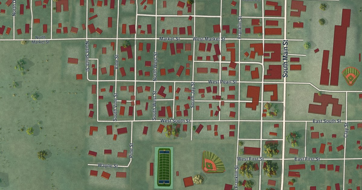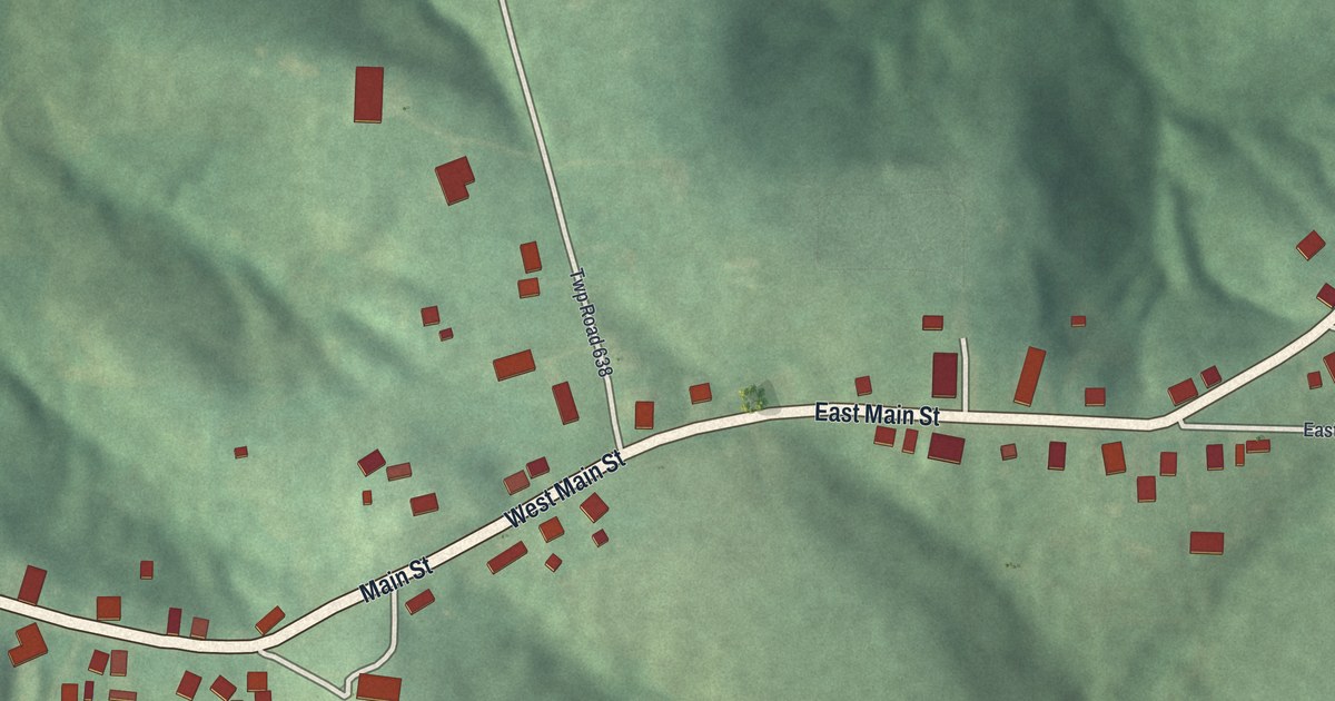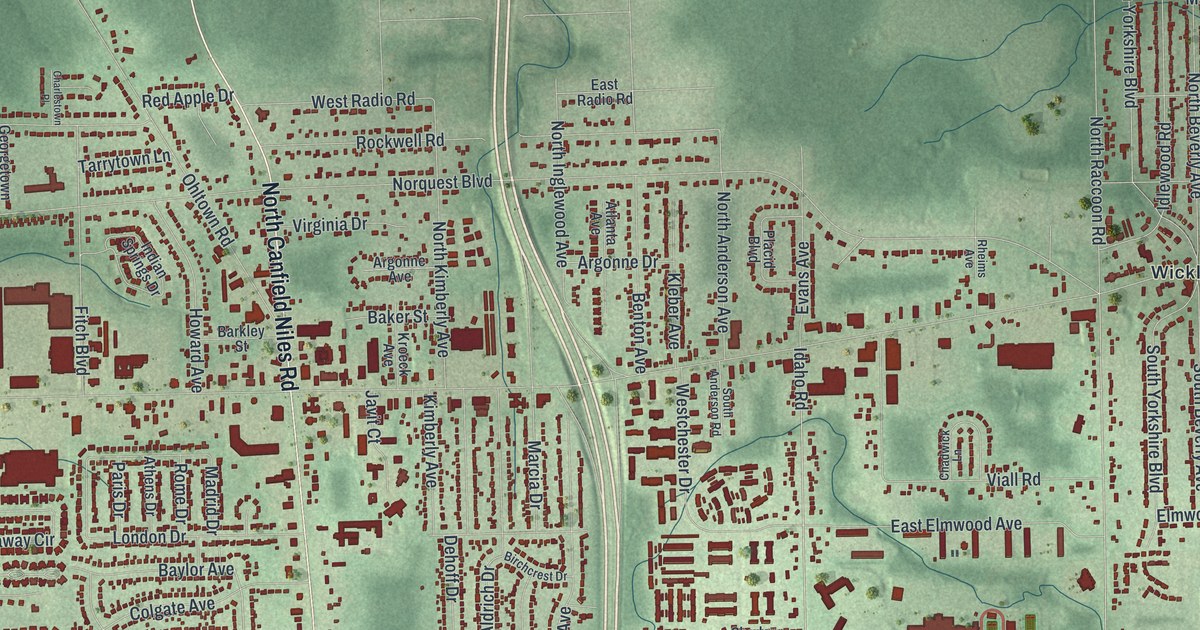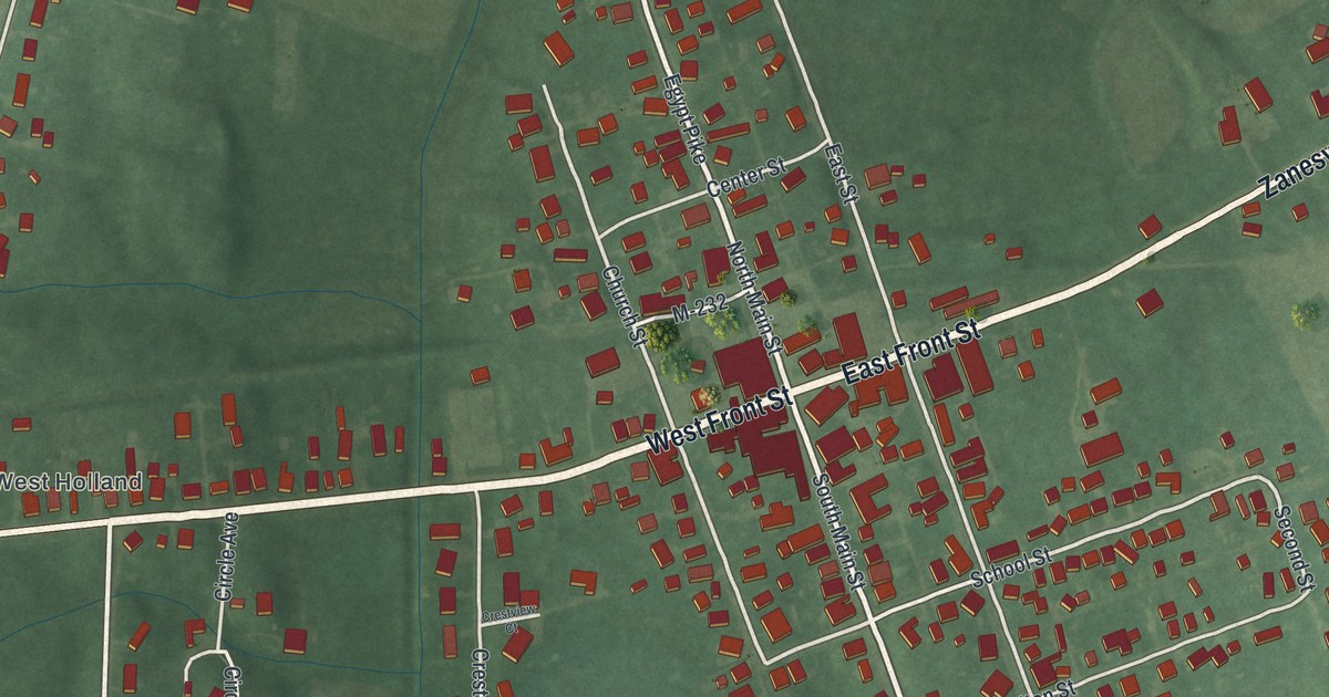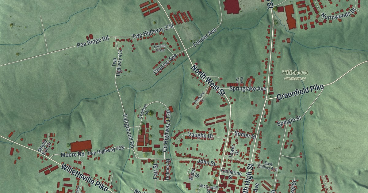
If you grew up in Hillsboro, or you still have family near Main Street and High Street, this map is a way to see the whole town at once. It's a modern aerial view of Hillsboro in Highland County, Ohio, built from modern data and given a vintage artistic feel. The hills around town are shaded in soft green. Nearly 4,000 buildings show up in red, packed tight where Main Street crosses High Street. Up by Shaffer Park, a thin blue creek winds across the top of the sheet.
The Lincoln School on North East Street
On this map you'll find Main Street, North High Street, South High Street, North East Street, East Collins Avenue, Willettsville Pike, Chillicothe Avenue, Danville Pike, Greenfield Pike, West Union Pike, Willow Street, Hillsboro Cemetery, Shaffer Park, and more. Each red shape is a building, so zoom in on the preview and look for yours.
The Lincoln School stood near the corner of Collins Avenue and North East Street from 1869 to 1956. It was a segregated elementary school. It was meant for the town's African American students, in grades one through eight. In May 1954, the U.S. Supreme Court ruled in Brown v. Board of Education. That case ended the old idea of "separate but equal." After that ruling, Hillsboro was the site of the first Northern desegregation suit, says the Ohio History Connection. Its marker stands at that corner now. To find the spot, look where East Collins Avenue meets North East Street.
Milton Caniff was born in Hillsboro
Hillsboro is also where Milton Caniff was born, in 1907. He finished at Ohio State University in 1930. In 1934 he started a comic strip called Terry and the Pirates. It was an adventure story with people drawn to look real, and it was a big hit through World War II. In 1947 he started Steve Canyon, which ran for 41 years, until he died in 1988. His state marker stands at the Highland County District Library on Willettsville Pike.
Keep Main Street and High Street close
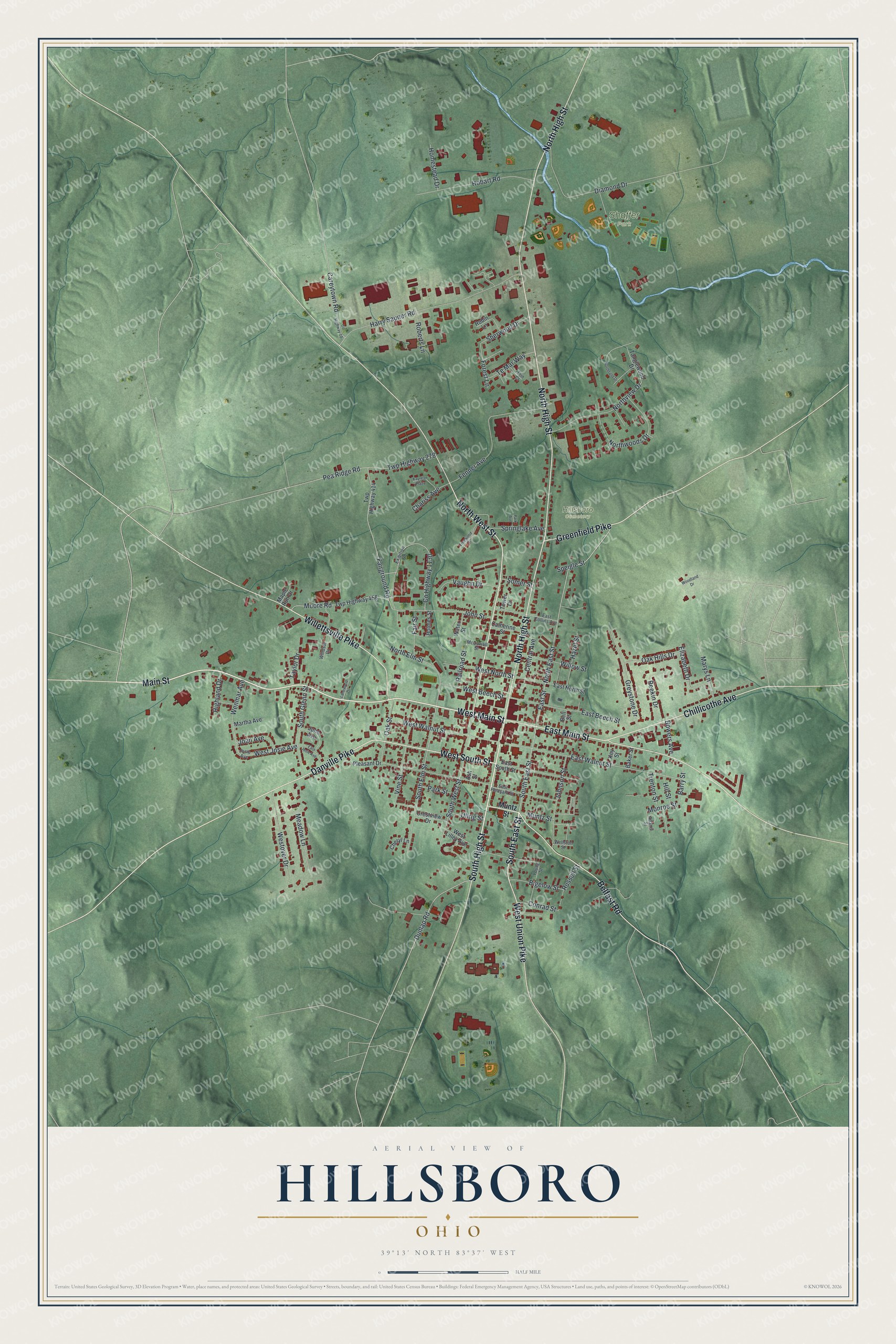
Created by KNOWOL in 2026, this print shows Hillsboro from above, with green shaded hills, deep red buildings and a blue creek near Shaffer Park. The cream title panel reads "Aerial View of Hillsboro, Ohio" in navy and gold, with 39°13' North 83°37' West set below.
It suits a living room, a front hall or a home office. It's a good gift for a Hillsboro graduate, or for anyone who grew up near Shaffer Park and moved away. Open the preview and find your own street. See sizes and frames for the Hillsboro map.