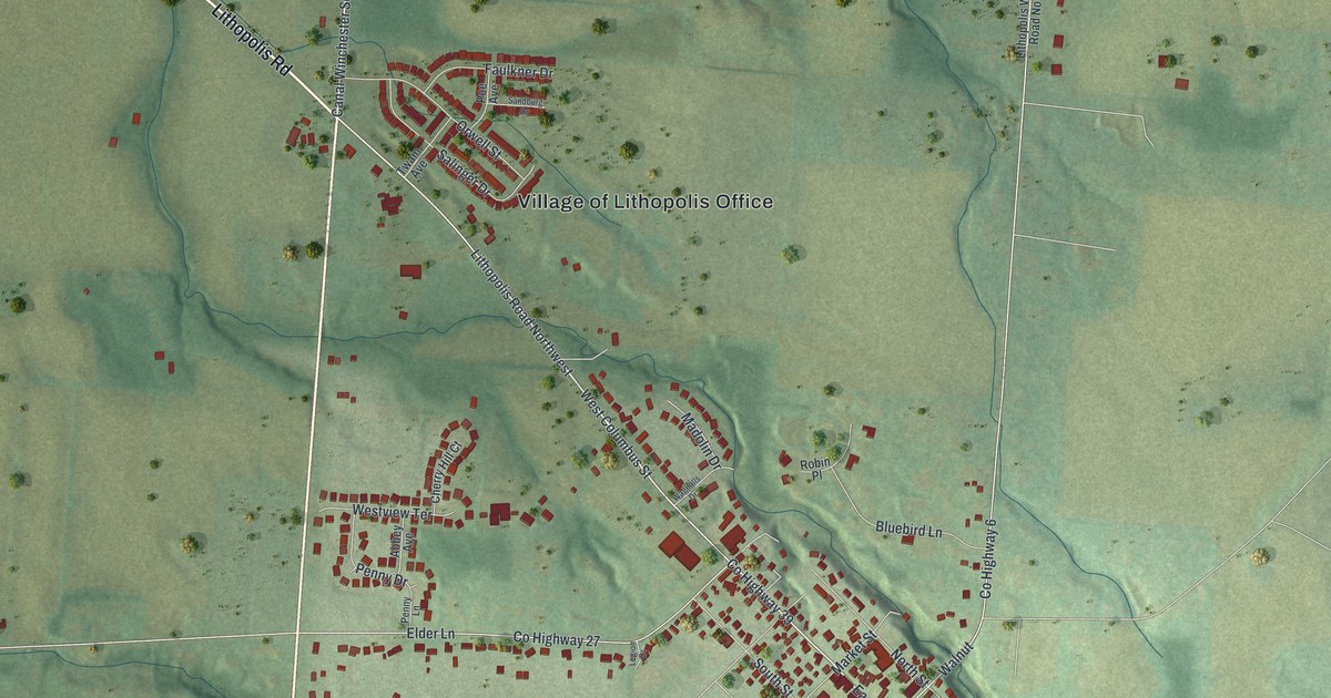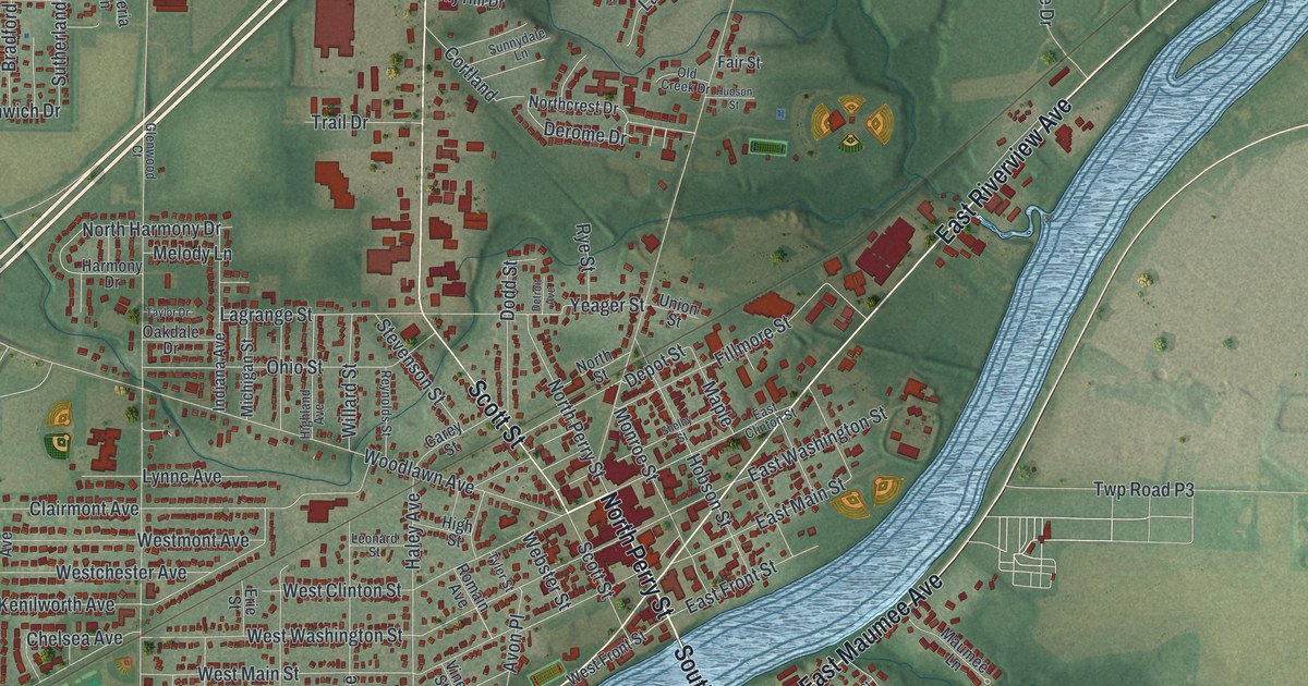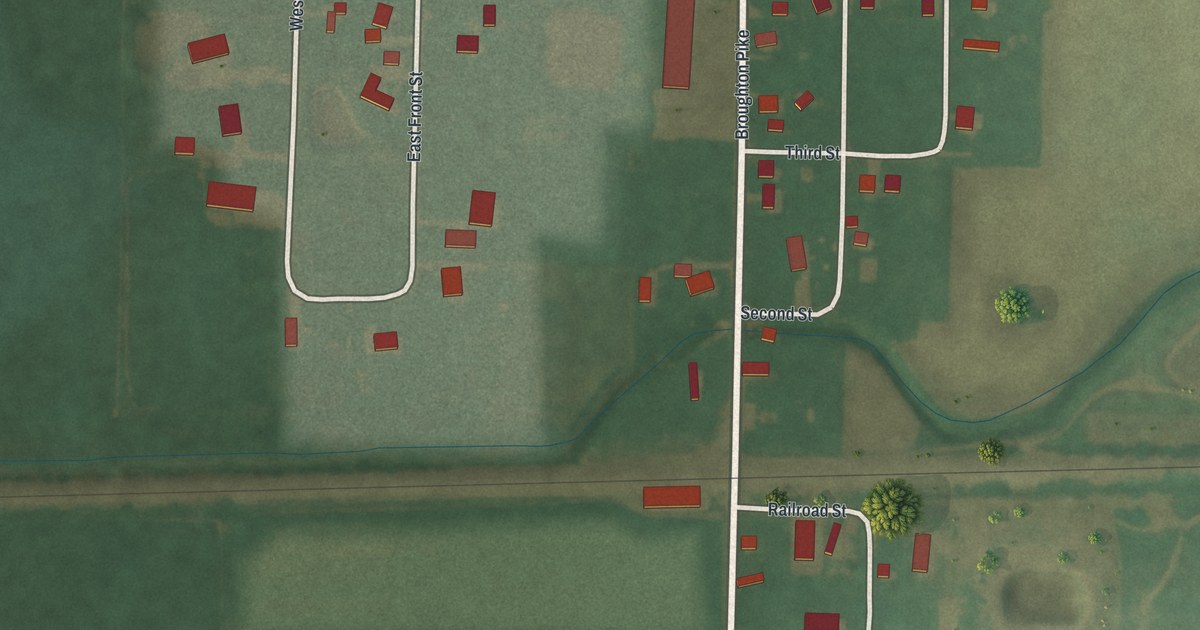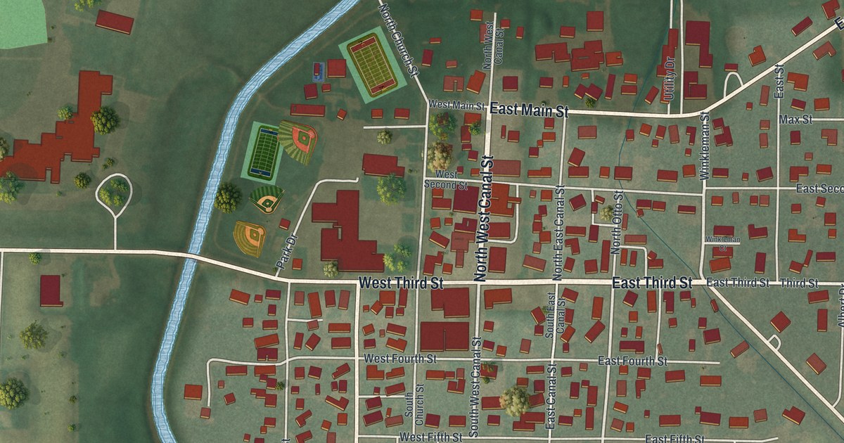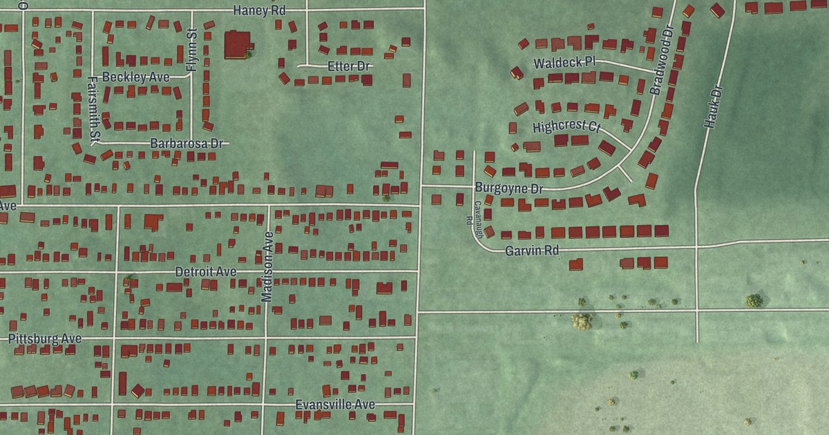
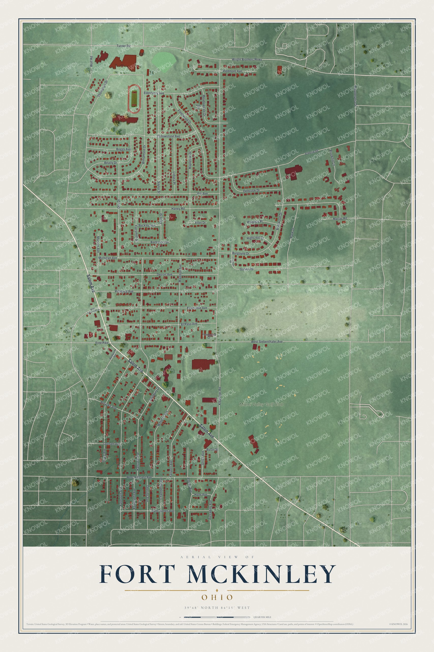
This beautifully detailed map of Fort McKinley, Ohio was created in 2026 using aerial imagery combined with modern topographical, census, street and landmark data. It's a modern aerial view of Fort McKinley in Montgomery County, Ohio, that combines modern data with a vintage aesthetic. The roads feature printed names, and if you look closely you can find your exact house accurately shown in its correct location.
Explore an aerial view of Fort McKinley, Ohio
On this map you'll find Miami Valley Golf Club, Salem Avenue, Klepinger Road, Falmouth Avenue, Turner Road, Wright Brothers Parkway, Haney Road, West Siebenthaler Avenue, Valerie Drive, Otis Drive, Detroit Avenue, Ark Avenue, and more. Each red shape is a building, so zoom in on the preview and look for yours.
Fort McKinley is a community in Montgomery County. The Census Bureau counted 3,473 people here in 2020. The map prints the town name in its title panel, with the coordinates below it.
Take a closer look at the Fort McKinley map
Names on this map
These names are printed on this map.
Places: Miami Valley Golf Club.
Streets and roads: Salem Avenue, Klepinger Road, Falmouth Avenue, Turner Road, Wright Brothers Parkway, Haney Road, West Siebenthaler Avenue, Valerie Drive, Otis Drive, Detroit Avenue, Ark Avenue, Grant Avenue.
More street names, A to Z
Alpena Avenue, Barbarosa Drive, Beatty Drive, Beckley Avenue, Boggs Avenue, Bradwood Drive, Brookhill Lane, Burgoyne Drive, Byron Street, Cavanaugh Road, Chamberlin Avenue, Deering Avenue, Delbrook Drive, Elderberry Avenue, El Paso Avenue, Esmeralda Avenue, Etter Drive, Evansville Avenue, Fairport Avenue, Fairsmith Street, Fleetwood Drive, Flynn Street, Free Pike, Garvin Road, Gotham Avenue, Hancock Avenue, Hauk Drive, Highcrest Court, Holyoke Avenue, Hyde Avenue, Kipp Court, Lobata Place, Madison Avenue, Mapleleaf Drive, Marlay Road, Meadowdale Drive, Michigan Avenue, Monroe Avenue, North Gettysburg Avenue, Philadelphia Drive, Piccadilly Avenue, Piedmont Avenue, Pittsburg Avenue, Saint James Avenue, Salisbury Drive, Saylor Street, Thompson Drive, Townhouse Court, Ulrich Avenue, Waldeck Place, Wentworth Avenue, West Hillcrest Avenue, Wheeler Avenue, Williamson Drive, Wolf Road, Yellowstone Avenue.
See it on a wall
The Fort McKinley map as a framed print. Swipe for more.


Created by KNOWOL in 2026. The buildings are small red shapes, the roads carry their printed names, and shaded relief shows the shape of the land. The title panel reads "AERIAL VIEW OF FORT MCKINLEY, OHIO" with 39°48' NORTH 84°15' WEST.
It suits a den, a classroom or a front hall, and it makes a gift for anyone with Fort McKinley roots. Open the preview and find the block you know. See sizes and frames for the Fort McKinley map.