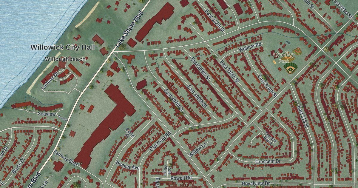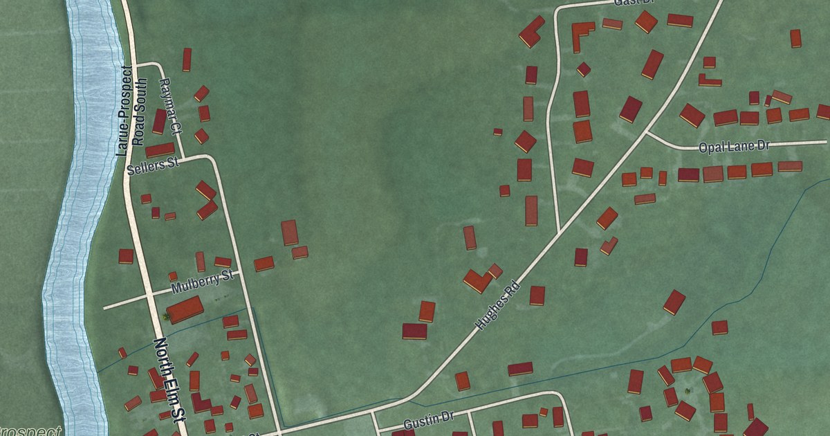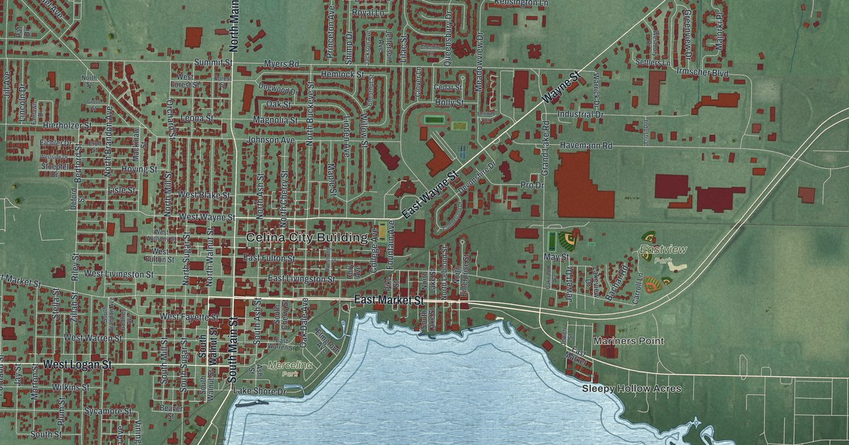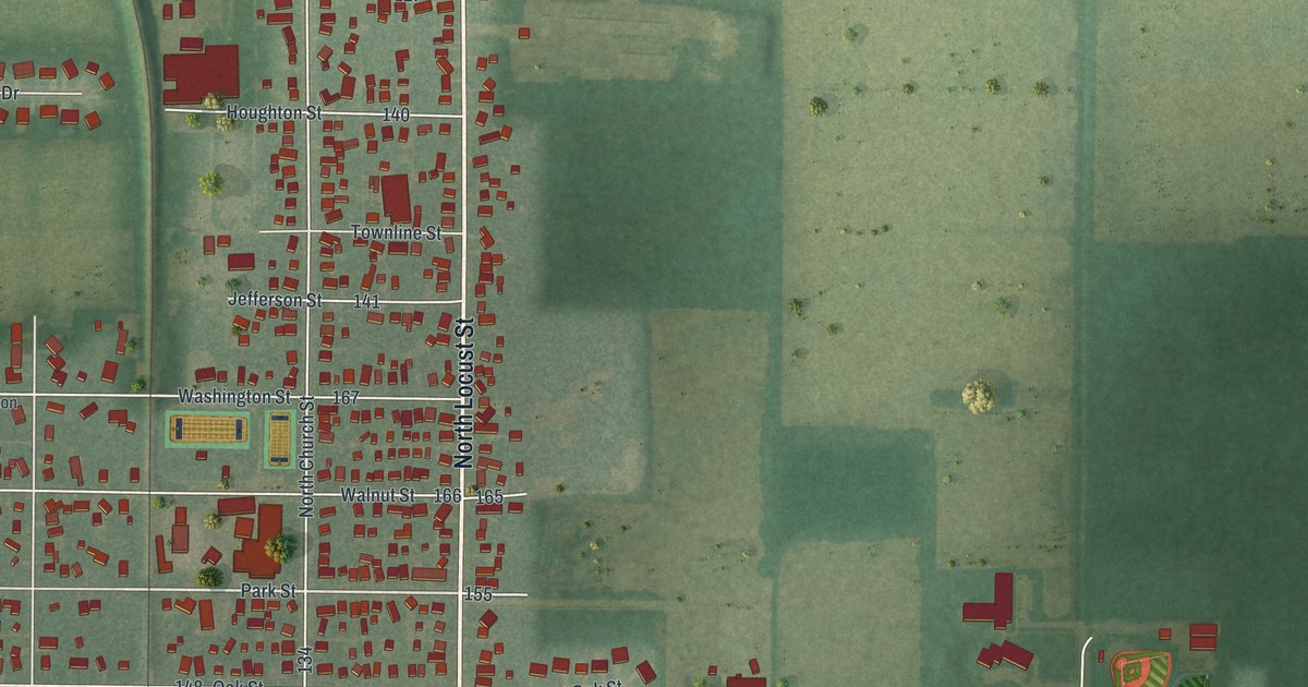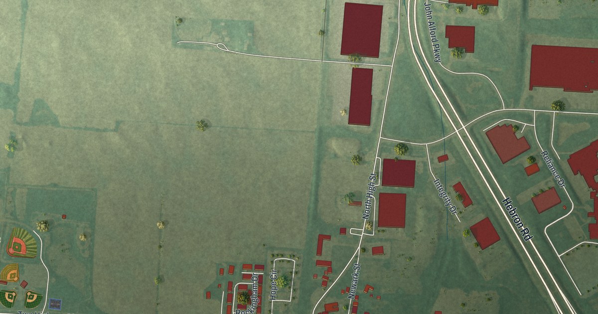
If you grew up in Hebron, here's a view of your hometown to keep close. This modern aerial view of Hebron in Licking County, Ohio, uses modern data with a vintage feel. Red buildings stand out against green fields, with pale streets linking the town's blocks.
Hebron's canal and National Road crossing
On this map you'll find East Main Street, West Main Street, Hebron Road, Evans Park, Hebron Cemetery, Hebron Municipal Complex, North High Street, South High Street, Broad Street, Canal Street, Basin Street, Newark Street, and more. Each red shape is a building, so zoom in on the preview and look for yours.
Hebron grew at the crossing of two major routes. The Hebron historical marker tells how the Ohio and Erie Canal met the National Road here. That crossing made Hebron a center for trade and farming in Licking County during the 1800s. The canal was completed through town in 1828. The National Road followed in 1834.
The marker stands at 139 East Main Street. Find that street on the print to connect today's town with this story. Just four miles north of Hebron, New York Governor DeWitt Clinton broke ground for the canal. That first spadeful of dirt was turned on July 4, 1825. Three years later, the canal reached Hebron.
Keep Hebron's Main Street close
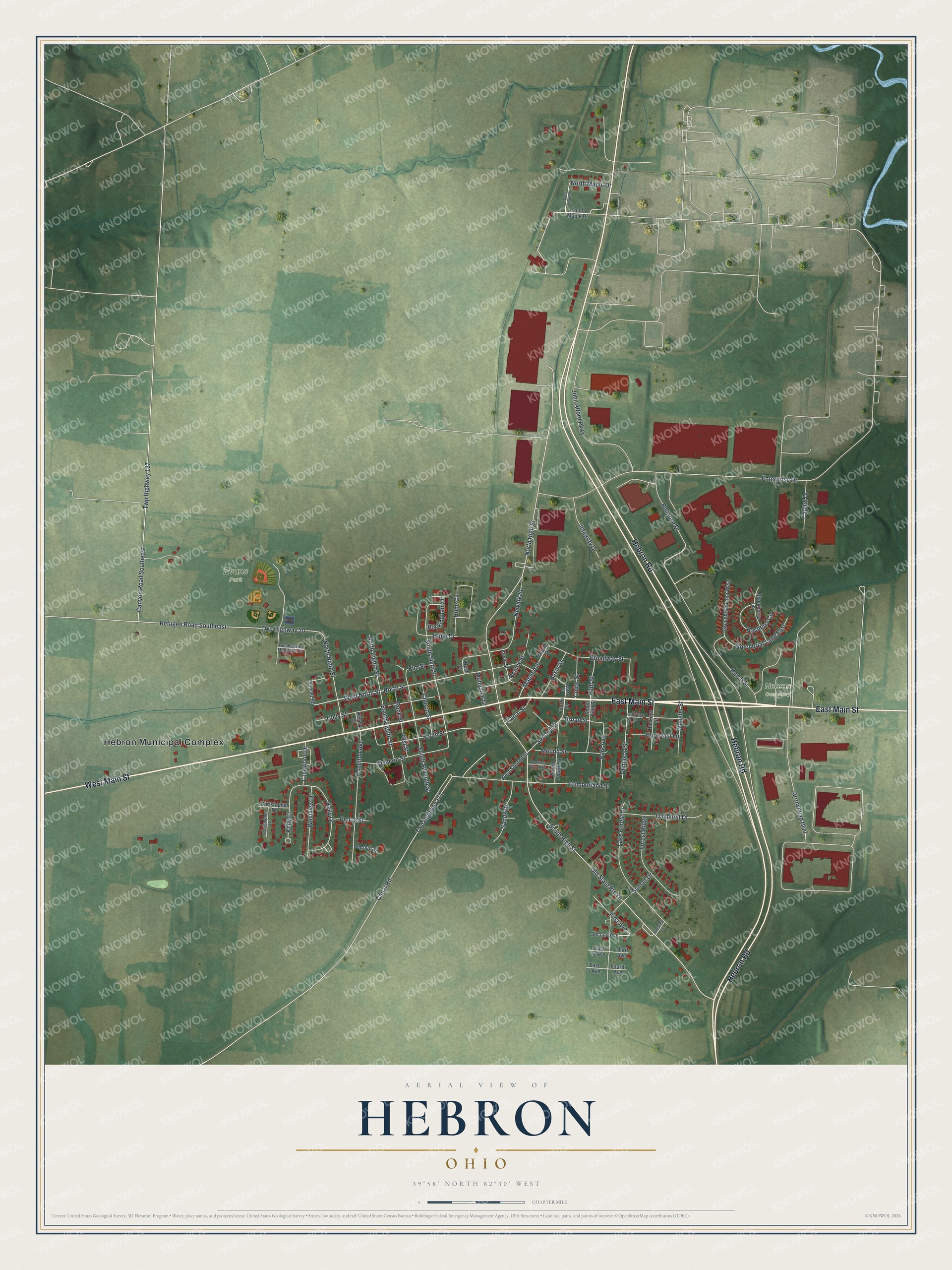
Created by KNOWOL in 2026, this print pairs green terrain with red buildings and fine, pale roads. A cream border surrounds the map. The title panel reads AERIAL VIEW OF, HEBRON, OHIO, and 39°58' NORTH 82°30' WEST.
Hang it in a living room, home office, or entryway. It's a gift for someone who grew up near East Main Street and now lives away. Open the preview to look for a familiar block or a family home. See sizes and frames for the Hebron map.