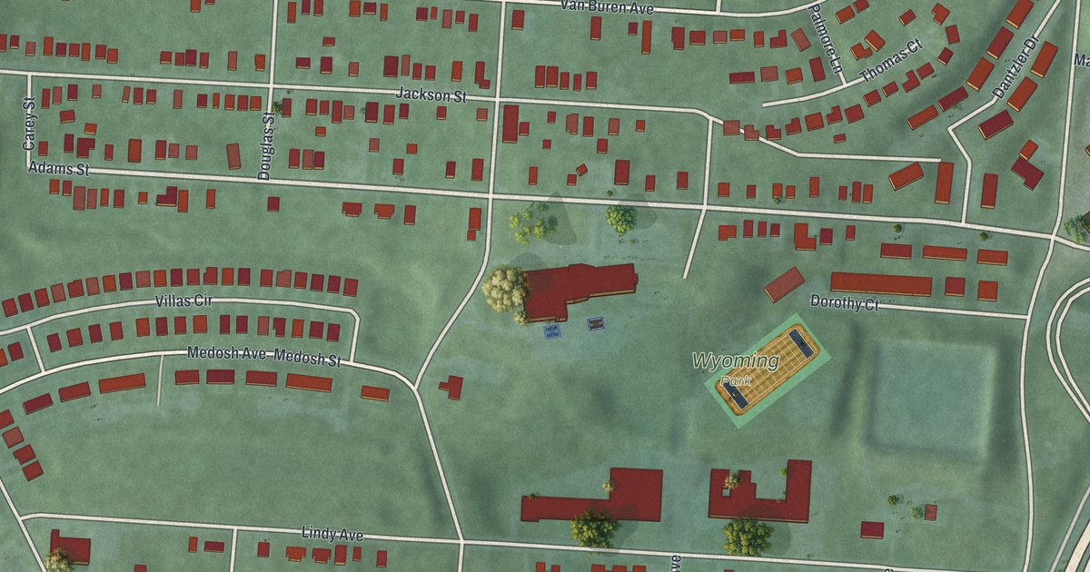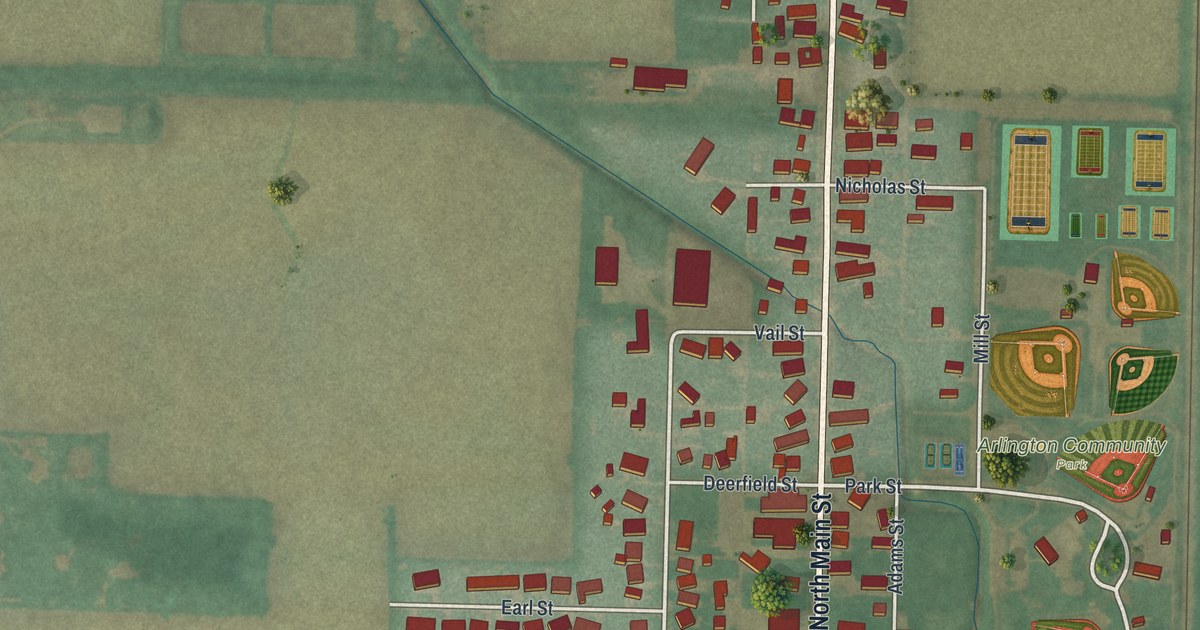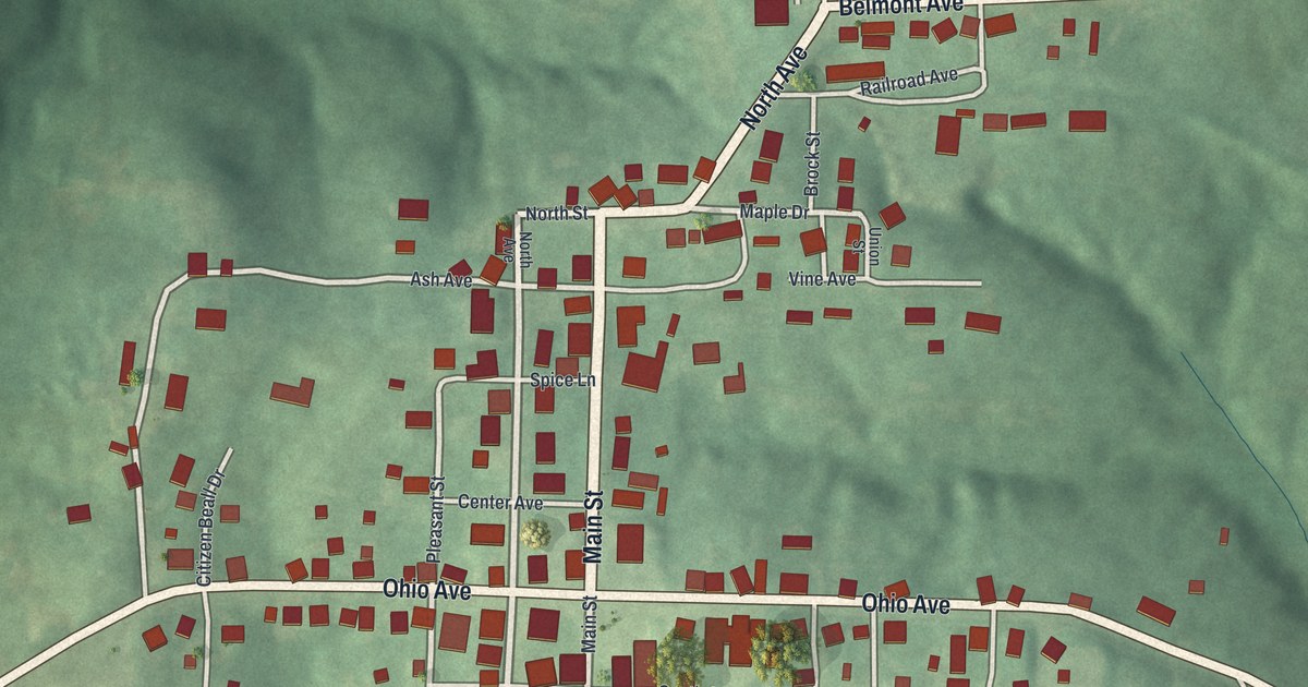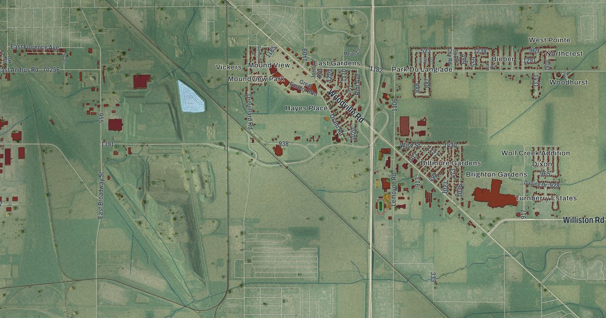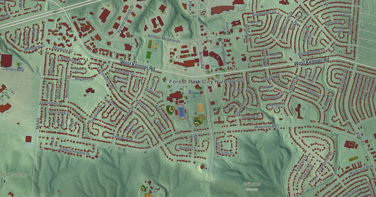
If you grew up in Forest Park, look for your old street here. This modern aerial view shows Forest Park in Hamilton County, Ohio, using modern data with a vintage feel. Red buildings line the curved streets, with green woods between the blocks. Winton Road and West Kemper Road are names you can pick out.
Forest Park streets on the map
On this map you'll find Winton Road, West Kemper Road, Hamilton Avenue, Waycross Road, Northland Boulevard, Mill Road, West Sharon Road, Hanover Road, Smiley Avenue, Southland Road, Forest Park City Hall, Meadow Links & Golf Academy, and more. Each red shape is a building, so zoom in on the preview and look for yours.
From Newell School to Forest Park High School
West Kemper Road holds a school story that spans more than a century. The Newell School marker says a school has stood here almost without a break since the late 1840s. The first was a white-frame, one-room school. It served students from about 1847 to 1939. Its district stretched from the north edge of Greenhills to present-day Interstate 275.
Schools in the area joined together in 1939. The Newell district became part of other school districts over time. In 1968, Forest Park High School opened at the old school site. That building later became Winton Woods High School. Find West Kemper Road on the print to place that story among the streets of home.
Keep Forest Park close
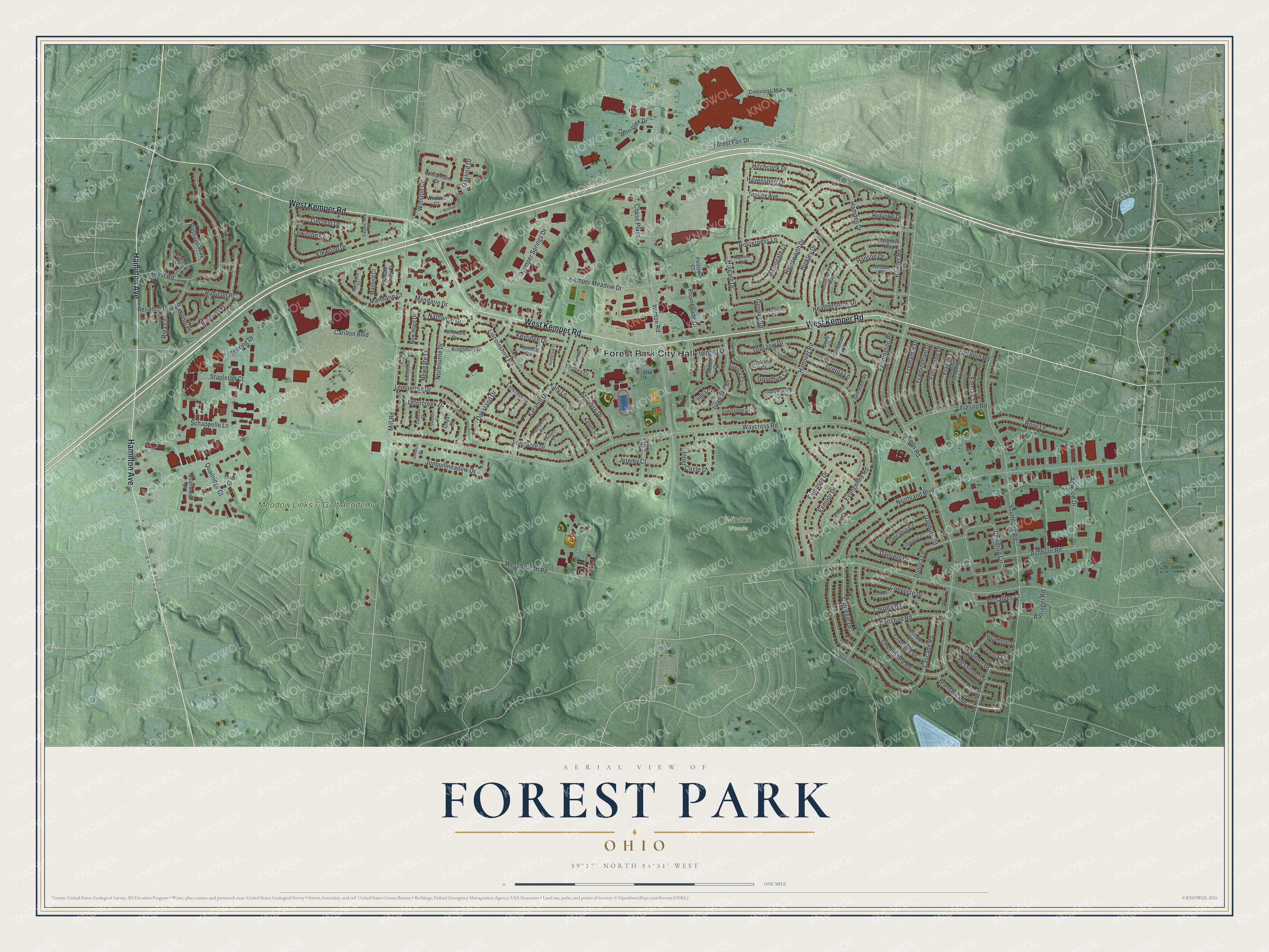
Created by KNOWOL in 2026, this print pairs green terrain with red buildings and pale road lines. A cream border surrounds the view. The title panel reads AERIAL VIEW OF, FOREST PARK, OHIO, with 39°17' NORTH 84°31' WEST below.
Hang it in a living room, office or entryway to keep home close. It's a gift for someone who went to Forest Park High School or grew up near Winton Road. Open the preview and look for the block you know best. See sizes and frames for the Forest Park map.