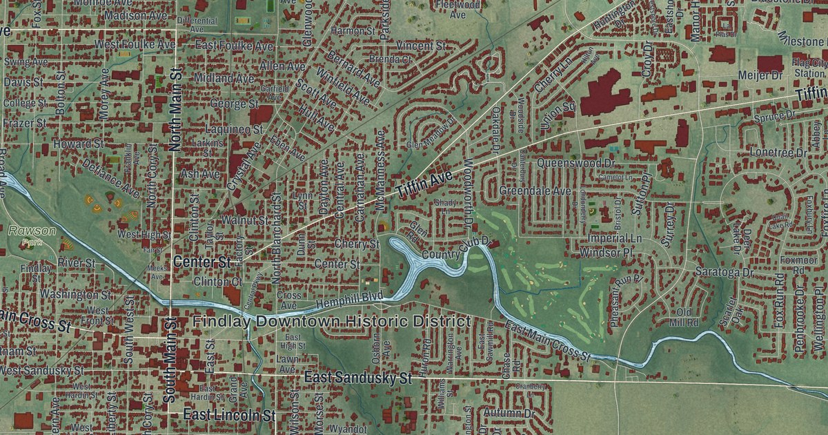
If you grew up in Findlay, went to the county fair, or still drive Main Street past the courthouse, this map has a lot for you to find. It's a modern aerial view of Findlay in Hancock County, Ohio, made from modern data and given a vintage look. The Blanchard River winds right through the middle of town, though it isn't labeled. More than 21,000 buildings are marked in deep red. Farm fields fill the edges of the sheet, and two big blue basins sit in the lower right. Explore the print options for Findlay.
Main Street, Tiffin Avenue and Rawson Park
Start in the Findlay Downtown Historic District, printed at the center of the map. South Main Street and North Main Street run straight up and down the sheet through it. Just north of downtown, South Main Street crosses the river. A state marker at that bridge shows where Fort Findlay stood. In the War of 1812, troops under Col. James Findlay built a stockade there with a blockhouse at each corner. Now follow West Main Cross Street west. Just above it you'll see Maple Grove Cemetery and Rawson Park, both named on the map. Back in town, Tiffin Avenue angles off to the northeast toward Flag City Station. Fostoria Avenue splits from it and heads out to the big red buildings along Industrial Drive and Production Drive. South of downtown, East Sandusky Street runs east toward Carey Road. South Findlay sits below the center, and West Park is down in the bottom left along Lima Avenue. Many of the roads are labeled, and each red shape is a building, so zoom in on the preview and look for yours.
Now look just east of downtown, where the river makes a tight loop. Riverside Park isn't labeled, but it sits where McManness Avenue meets Clinton Court. It opened in 1906 on the site of the old waterworks. It was one of the earliest and largest amusement parks in Northwest Ohio. Trains brought visitors from as far away as Cleveland. In 1908 a bathing beach was made in the old reservoir. In 1925 the Green Mill Dance Hall went up near the dam, and big name bands came to play.
South of the river, off East Sandusky Street, are the county fairgrounds. They aren't labeled either. The land was once an 80 acre farm owned by Tell Taylor, who wrote the song "Down by the Old Mill Stream." The Hancock County Agricultural Society bought it and held its first fair there on October 13 to 15, 1938. The Ohio History Connection's marker says the fair has been held there every year since, except in 1942 during World War II. Find the river loop on the print, then drop south to East Sandusky Street, and you've got both places in one glance.
For someone who knows Tiffin Avenue and South Main Street
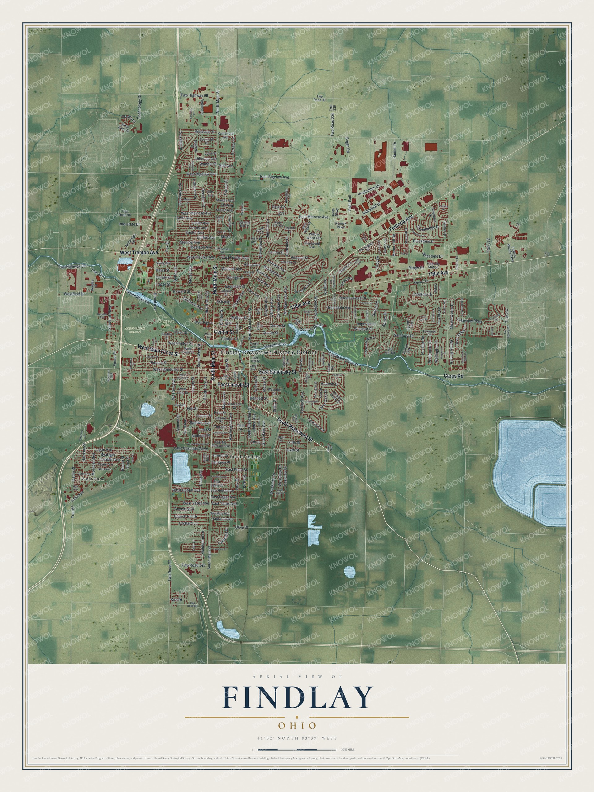
Created by KNOWOL in 2026, this Findlay map shows the city in soft greens, with the ground shaded from USGS elevation data and the buildings drawn in deep red. The river, the ponds and the two big basins show up in pale blue. The title panel reads "Aerial View of Findlay, Ohio" with the coordinates 41°02' North, 83°39' West and a one mile scale bar.
It fits well in an office, a den or a kitchen. It's also a good gift for someone who grew up here, moved away, or still has family in Hancock County. Open the preview, zoom in on the river loop and find the streets you know. Shop the Findlay, Ohio map.