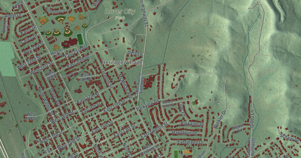
If you grew up in Dover, have family on the streets north of the river, or live near East Iron Avenue, this map has a lot for you to find. It shows the city of Dover in Tuscarawas County, Ohio as a modern aerial view, built from modern data and given a soft, vintage look. More than 10,000 buildings are drawn in deep red. Green hills rise to the east, and the river bends right through the south end of town. The sheet runs from Loudon and Parral at the top down past Willow Glen and the streets south of the river. Explore the print options for Dover.
Dover City Hall, Race Street and East Iron Avenue
Start at Dover City Hall, printed just above the river near the bottom of the sheet. East Front Street runs close by. Now follow Race Street north up through the grid of numbered streets. It takes you past Heritage Village and on to Candlelight Villas. Dover City Park is printed just above Heritage Village, in the middle of the map. Farther up, in the top left corner, Loudon and Parral sit along Crown Road. Back at City Hall, cross the river on South Wooster Avenue. On that side you'll find East Iron Avenue, East Shafer Avenue and Boulevard Street, with Filmore Avenue a little farther south. To the west, Commercial Parkway heads down toward Willow Glen. The rivers aren't labeled, but you can't miss them. Many roads are named, and each red shape is a building, so zoom in on the preview and look for yours.
Jeremiah Reeves was born in England in 1845. He started work in the mills of Wales when he was ten years old. In 1867 he came to the United States and worked in steel mills in Cleveland, Pittsburgh and Connellsville, Pennsylvania. He met his wife, Jane Rees, in Connellsville. In 1883 he bought a steel rolling mill in Dover for 14,000 dollars. The Reeves Iron Works had money trouble more than once. It still grew several times and came to employ over 800 men. An Ohio historical marker says the iron works and the later Reeves Manufacturing Company made Dover an industrial center.
The Reeves home at 325 East Iron Avenue is on the National Register. The house isn't labeled on this print, but East Iron Avenue is, in the lower right part of the sheet. Reeves Avenue is printed in that corner too. The town is older than the mill. Christian Deardorff and his brother-in-law Jesse Slingluff laid out Dover and built the area's first gristmill on Sugar Creek. Look for West Slingluff Avenue and East Slingluff Avenue north of the river, and Canal Road running east near City Hall.
The Dover map, from Loudon to Filmore Avenue
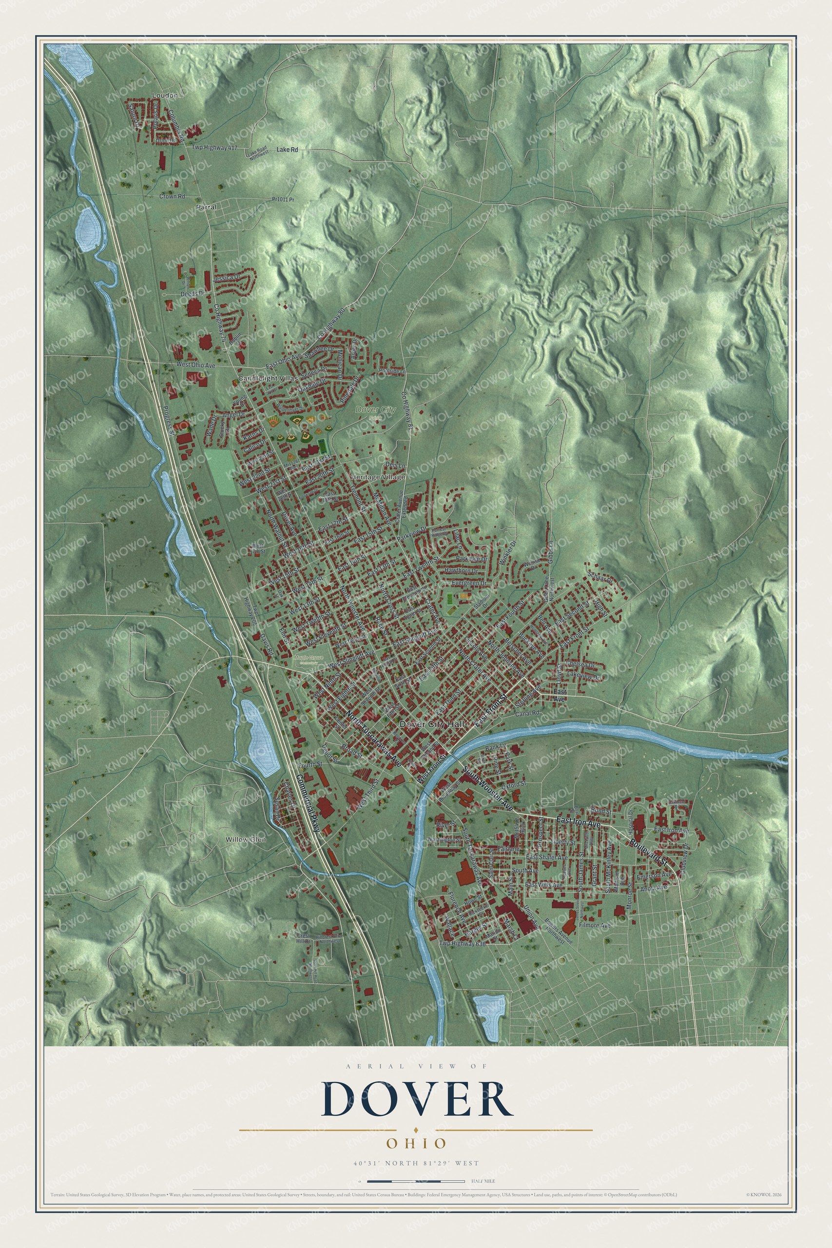
Created by KNOWOL in 2026, this Dover map shows the town's streets and buildings over shaded hills drawn from USGS elevation data. The deep red blocks stand out against the green, and the river shows up in soft blue. The title panel reads "Aerial View of Dover, Ohio" with the coordinates 40°31' North, 81°29' West and a half-mile scale bar.
It fits a living room, a den or an office, anywhere someone can stop and trace a street they know. It's a good gift for someone who grew up in Dover, has family here, or moved away and still calls it home. Open the preview, zoom in and find your block. Shop the Dover, Ohio map.