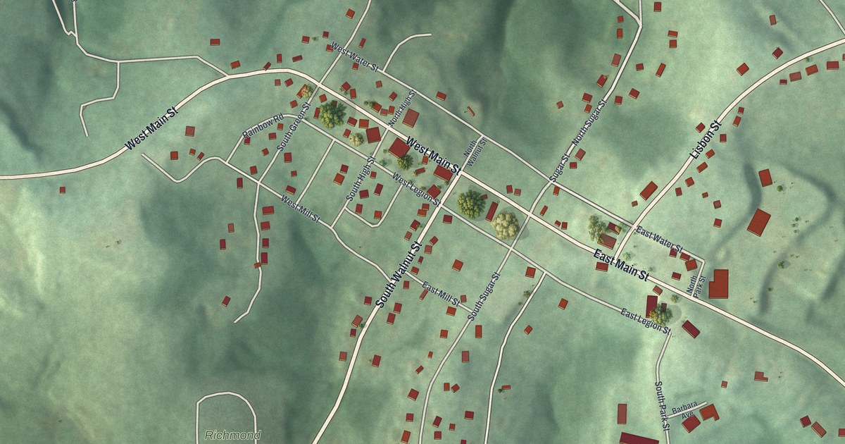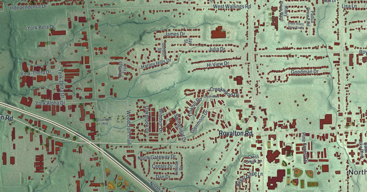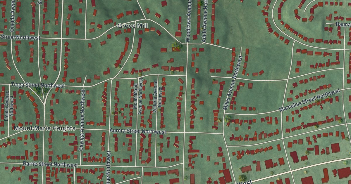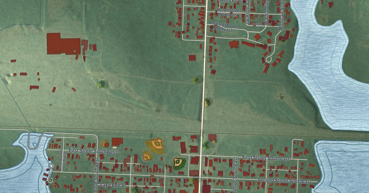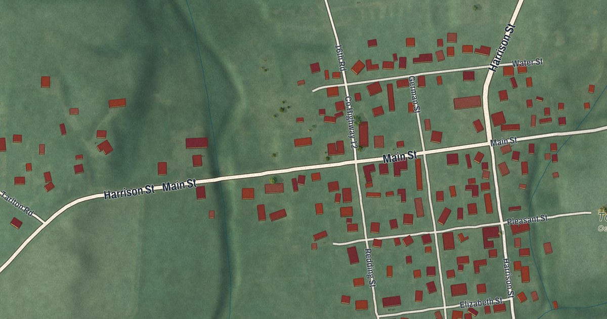
If you grew up in Tarlton, you can look for your old street here. It's a modern aerial view of Tarlton in Pickaway County, Ohio, made with modern data and a vintage feel. Red buildings gather around Main Street, with green fields and shaded hills beyond them.
Main Street and William Sooy Smith
On this map you'll find Main Street, Harrison Street, Tarlton Cemetery, German Street, Water Street, Elizabeth Street, Pleasant Street, Redding Street, South Street, Tarlton Road, Tarlton Adelphi Road, Circleville Tarlton Road, and more. Each red shape is a building, so zoom in on the preview and look for yours.
Tarlton was the birthplace of William Sooy Smith on July 22, 1830. His Ohio historical marker tells how he paid his own way through Ohio University. He graduated in 1849, then went to West Point to study engineering. In 1853, he finished sixth in his class.
In 1857, Smith started an engineering firm, Parkinson & Smith. He made the first surveys for an international bridge across the Niagara River. During the Civil War, he joined the 13th Ohio Infantry. He became a colonel in 1861 and a brigadier general in 1862. His marker stands at 55 Main Street, a street you can find on this print.
Harrison Street and Tarlton Cemetery
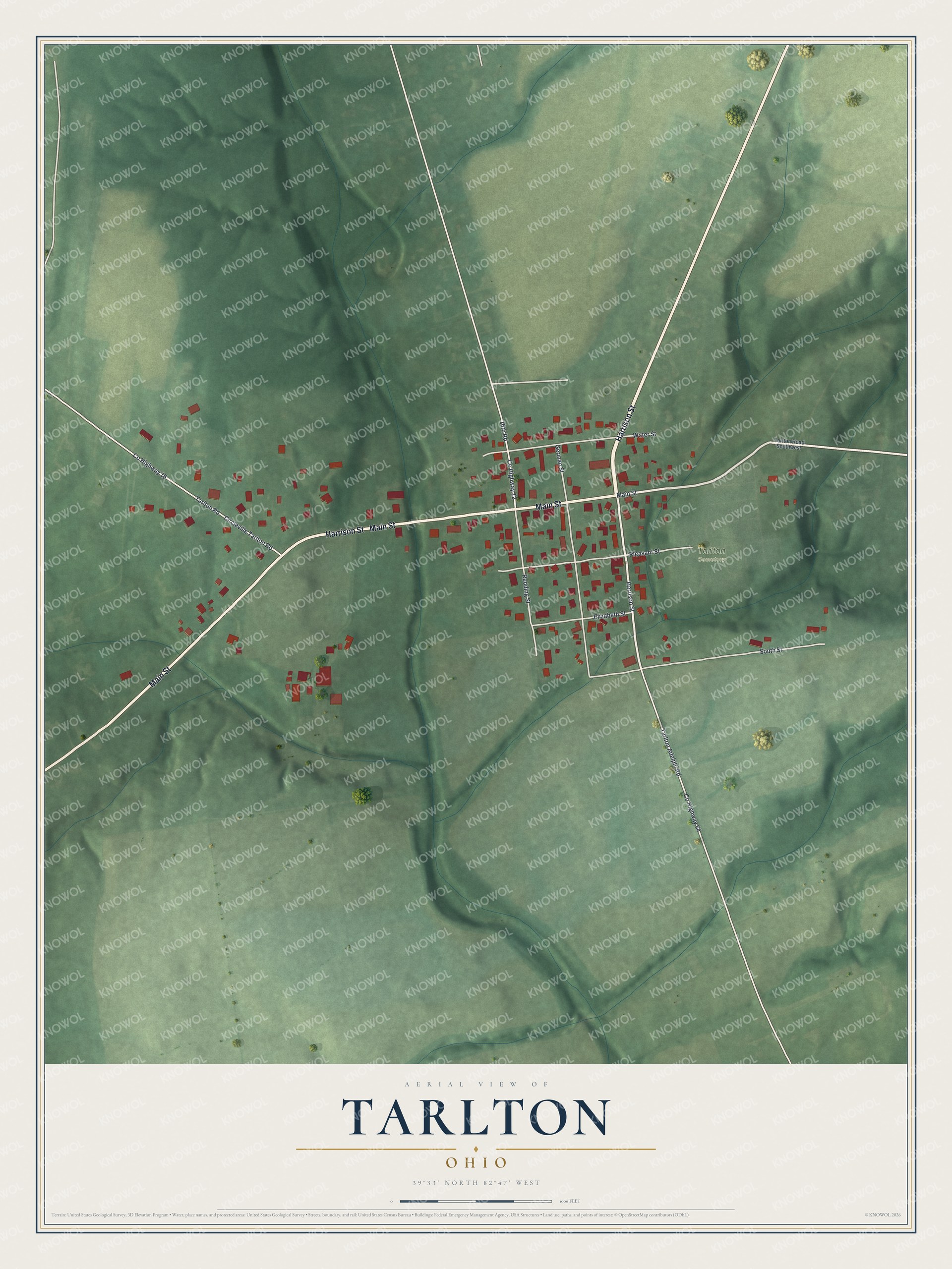
Created by KNOWOL in 2026, the print pairs green terrain with red buildings and pale roads. A cream border surrounds the map. The cream title panel at the bottom says Aerial View of Tarlton, Ohio, with the village's coordinates, 39°33' North 82°47' West, beneath it.
Hang it in a living room, office, or entryway to keep Tarlton close. It's a gift for someone who grew up on Main Street or has family here. Open the preview and look for the streets you know. See sizes and frames for the Tarlton map.