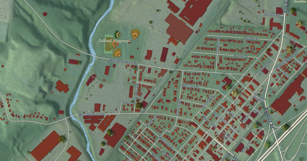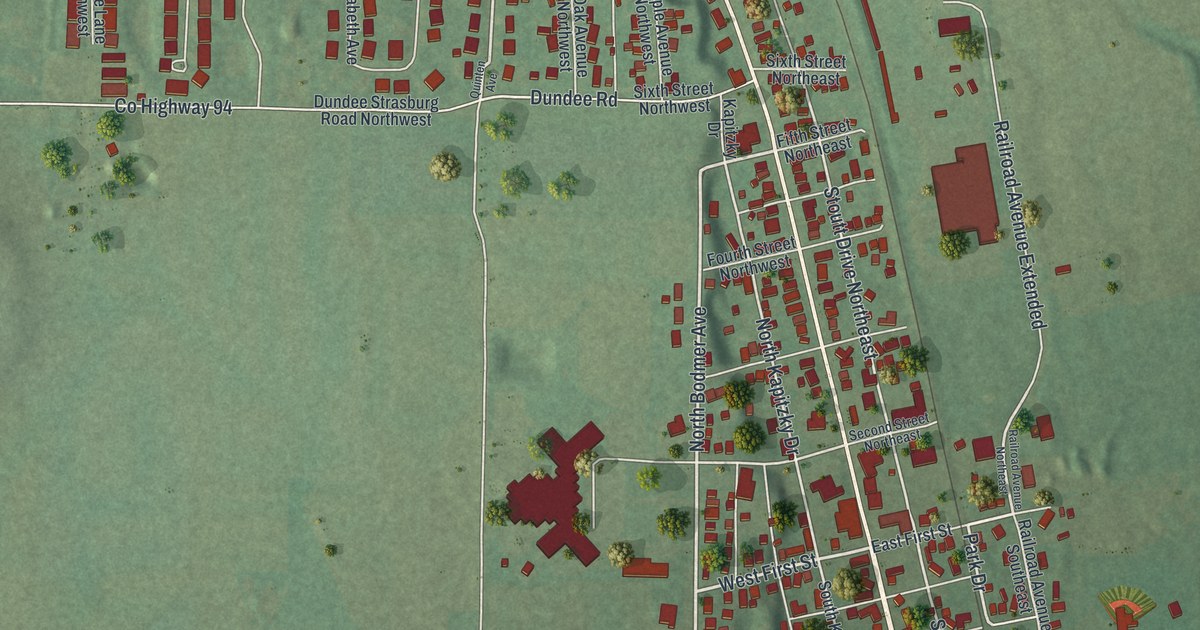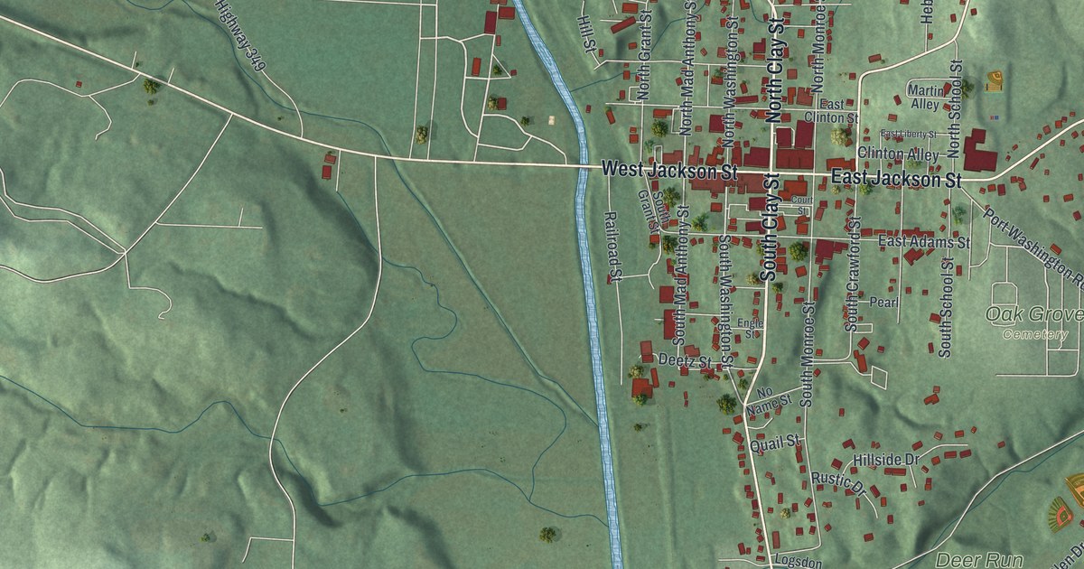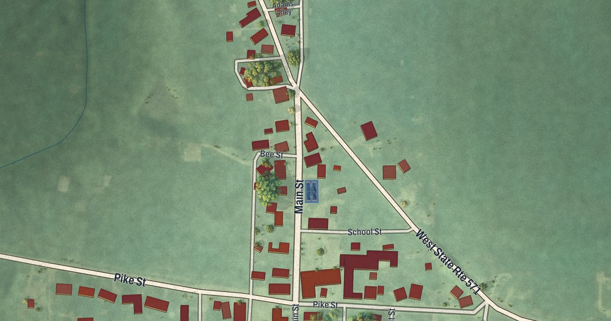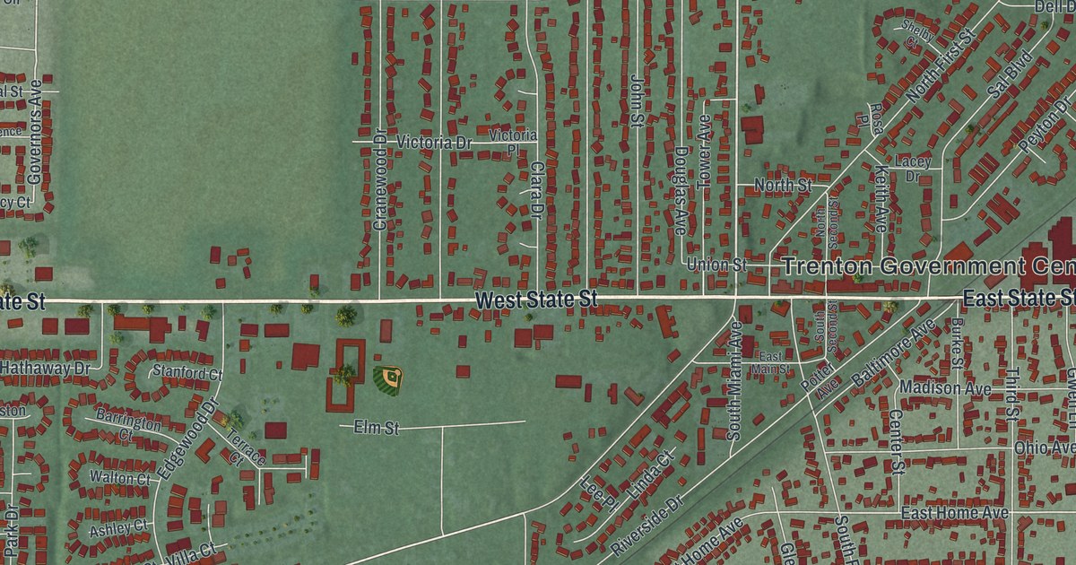
This beautifully detailed map of Trenton, Ohio was created in 2026 using aerial imagery combined with modern topographical, census, street and landmark data. It’s a one-of-a-kind view of Trenton that combines accurate data with a vintage aesthetic. The map shows every building in its true location, many of the roads carry their names, and the shaded topographic relief shows the shape of the land.
Explore an aerial view of Trenton, Ohio
On the map you’ll find Trenton Government Center and Miltonville, along with West State Street, East State Street, Oxford State Road, North Miami Street, East Aberdeen Drive, Hamilton Road, Trenton Road, East Home Avenue, Governors Avenue, West Arlington Drive, and more. If you look closely you can even find your house accurately drawn in its correct location. Zoom in on the preview to look for yours.
Did you know this piece of Trenton, Ohio history?
The town was platted in 1815 as Bloomfield, named for New Jersey governor Joseph Bloomfield. In 1831 residents learned Ohio already had a Bloomfield post office. So the town took a new name, Trenton, after the capital of New Jersey.
Take a closer look at the Trenton map
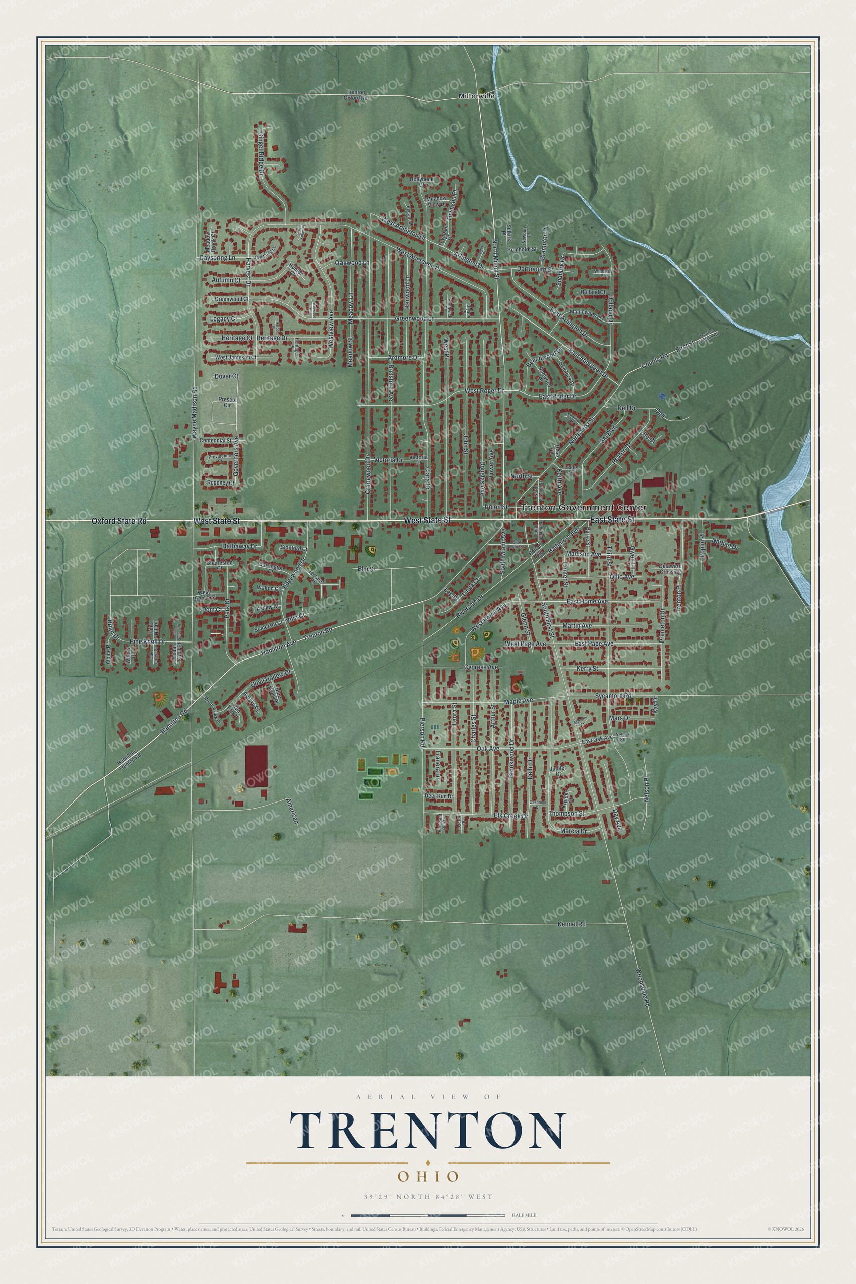
Street and place names on the Trenton, Ohio map
These names are printed on the map of Trenton, Ohio.
Places: Trenton Government Center and Miltonville.
Streets and roads: West State Street, East State Street, Oxford State Road, North Miami Street, East Aberdeen Drive, Hamilton Road, Trenton Road, East Home Avenue, Governors Avenue, West Arlington Drive, East Roger Drive, Arlington Drive.
More street names, A to Z
Alpine Place, American, Ardmore Drive, Arthur Street, Ashley Court, Autumn Court, Aviary Place, Baltimore Avenue, Barrington Court, Beechwood Drive, Blue Quail Place, Blue Spruce Place, Brampton Place, Brelsford Avenue, Brian Drive, Brookwood Drive, Bryson Place, Burke Street, Cantor Place, Cedar Knoll Place, Centennial Street, Center Street, Charles Street, Charleston Court, Clara Drive, County Road, Cranewood Drive, Cypress Avenue, Dartmouth Street, Day Avenue, Dayspring Court, Dayspring Lane, Deer Run Drive, Delaware Crossing, Delhi Drive, Dell, Dell Drive, Douglas Avenue, Dover Court, East Arlington Drive, East Main Street, East Oak Avenue, East Page Avenue, Edgewood Drive, Elk Creek Drive, Elm Street, First Street, Foxcroft Place, Franora Drive, Ginger Ridge Drive, Glenn Street, Greenwood Court, Greenwood Lane, Gwen Lane, Hamilton Avenue, Hamilton Trenton Road, Harbor Place, Harvest Drive, Hathaway Drive, Hemlock Drive, Heritage Court, Heritage Drive, Heritage Place, Holland Court, Holland Drive, Hollyhock Court, Humboldt Street, Hunter Court, John Street, Jupiter Court, Kay Drive, Keith Avenue, Kennel Road, Kenwood Lane, Kenwood Place, Kerry Street, Kreider Court, Lacey Drive, Lee Place, Legacy Court, Leora Street, Linda Court, Lite Court, Madison Avenue, Maple Avenue, Maplewood Circle, Marcia Drive, Marconi Court, Mars Drive, Martin Avenue, Meadow Brook Court, Meadow Lane, Meadow Street, Meadow View Drive, Meadowview Place, Nathan Drive, Nelson Place, Nelson Street, Newbury Place, North First Street, North Second Street, North Street, Oak Avenue, Oakbrook Drive, Oak Forge Place, Oakwood Lane, Ohio Avenue, Park Drive, Peyton Drive, Pheasant Run Drive, Pierson Road, Pine Hill Place, Pine Knoll Drive, Pom Court, Poplin Place, Potter Avenue, Prescot Circle, Princeton Drive, Providence Court, Quail Hollow Drive, Red Tail Place, Redwood Drive, Regency Court, Riverside Drive, Rosa Place, Saint James Place, Sal Boulevard, Selkirk Place, Shelby Court, Somerset Court, South First Street, South Miami Avenue, South Second Street, Southwick Place, Stanford Court, Sudbury Drive, Sycamore Road, Teakwood Court, Terrace Court, Third Street, Thompson Street, Tower Avenue, Townsen Drive, Townsen Place, Trenton Franklin Road, Trenton Oxford Road, Trenton Place, Union Street, Victoria Drive, Victoria Place, Villa Court, Walton Court, Wayne Madison Road, West Aberdeen Drive, West Branch Street, West Home Avenue, West Jameson Court, West Page Avenue, West Place, West Roger Drive, Westview Avenue, Willow Place, Windsor Place, Woodsdale Road.
See the Trenton, Ohio map on a wall
The Trenton map as an 18 x 24 inch print in a black frame.

This beautifully detailed map of Trenton makes an attractive addition to your office, library, or den, and it can even be used to teach children the geography and history of the area. It also makes a great gift for anyone with Trenton roots. When you’re done exploring, click here to get your copy of the Trenton map.