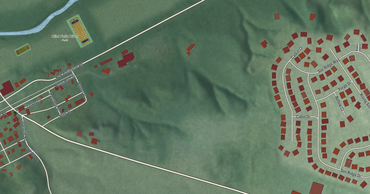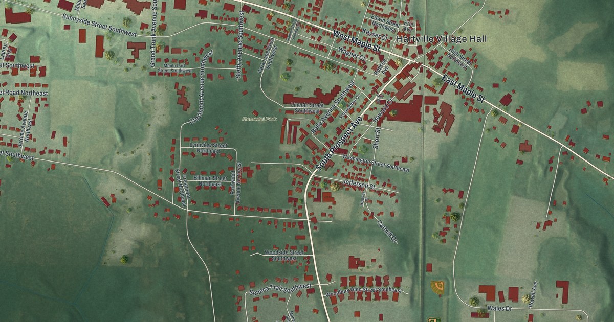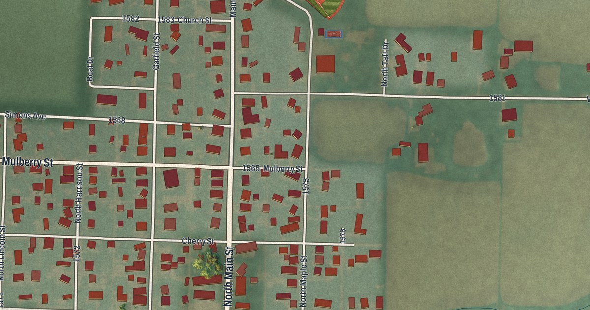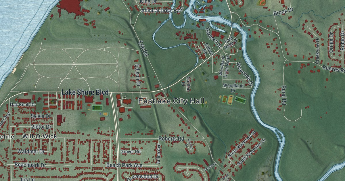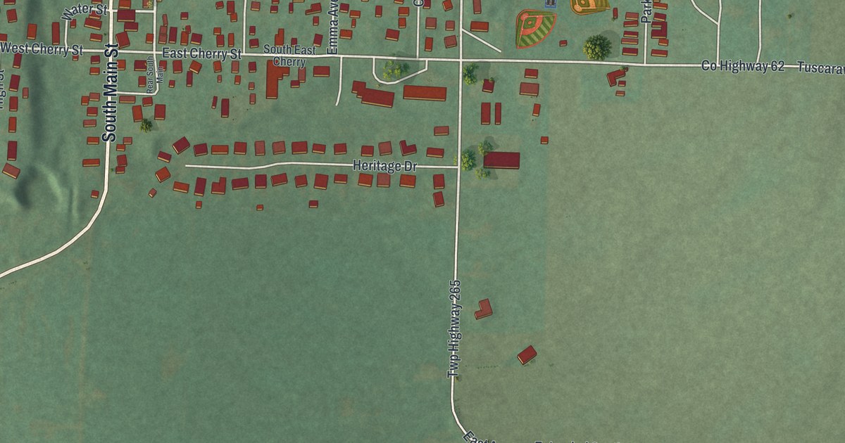
If you grew up in Tuscarawas or have family here, look for your block. This modern aerial view of Tuscarawas in Tuscarawas County, Ohio, uses modern data with a vintage feel. Red buildings gather along the village streets. A wide blue river bends around the green land below them.
North Main Street and South Main Street
On this map you'll find North Main Street, South Main Street, Church Street, School Street, East Cherry Street, West Cherry Street, Maple Street, Mill Street, East Avenue, Lincoln Avenue, Beitel Street, Riverside Park, and more. Each red shape is a building, so zoom in on the preview and look for yours.
Tuscarawas once had another name: Trenton. The Upper Trenton Lock marker tells how the village gave the canal lock its name. Workers built Upper Trenton Lock between 1828 and 1829 from cut sandstone blocks. Lower Trenton Lock lay just 800 feet away. One lock tender served both and lived in a house at the upper lock. The marker's South Main Street address gives this story a link to a street you can find on the print.
Floods took their toll on the upper lock. In 1907, its worn stonework was replaced with concrete. The old stone helped shore up the towpath. Canal use had already fallen by then. The great flood of 1913 brought Ohio's canal era to an end. The two locks kept the name of the village as it was known when they were built.
Tuscarawas and Riverside Park on Your Wall
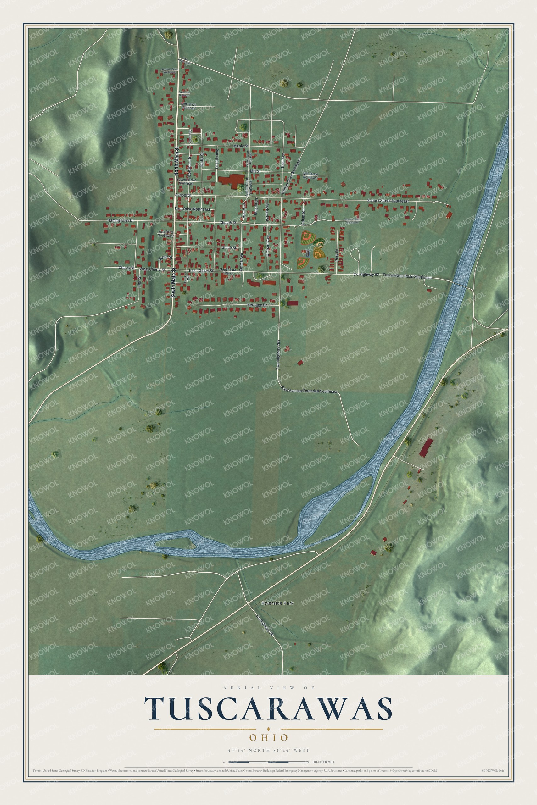
Created by KNOWOL in 2026, the print pairs green shaded land with blue water, pale roads and red buildings. A cream border surrounds the view. The title panel reads AERIAL VIEW OF, TUSCARAWAS, OHIO, and 40°24' NORTH 81°24' WEST.
It's a warm fit for a living room, home office or entryway. Give it to family from South Main Street, or someone who's moved away from Tuscarawas. Open the preview and take a closer look at the streets you know. See sizes and frames for the Tuscarawas map.