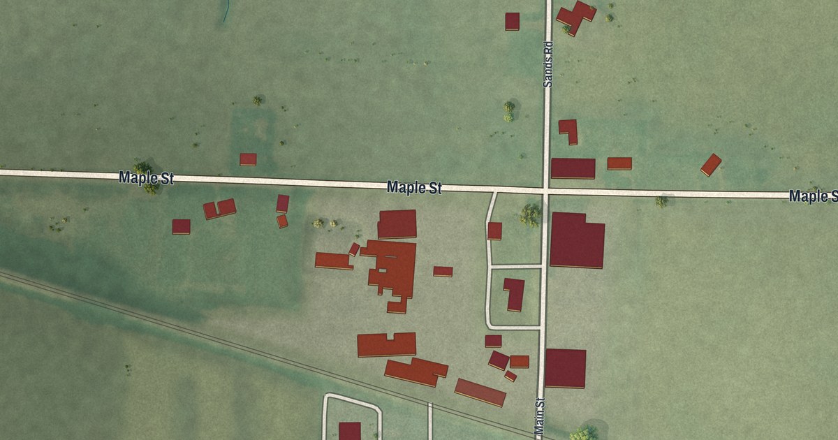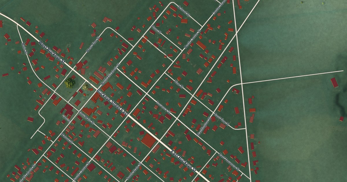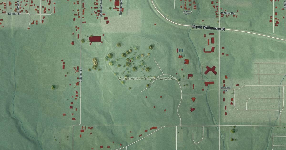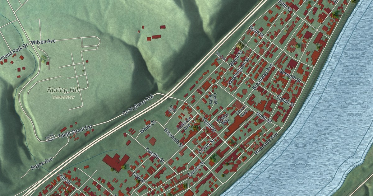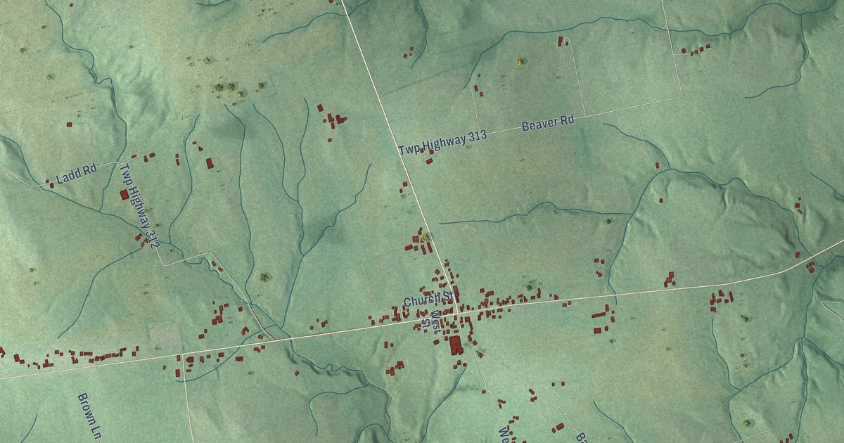
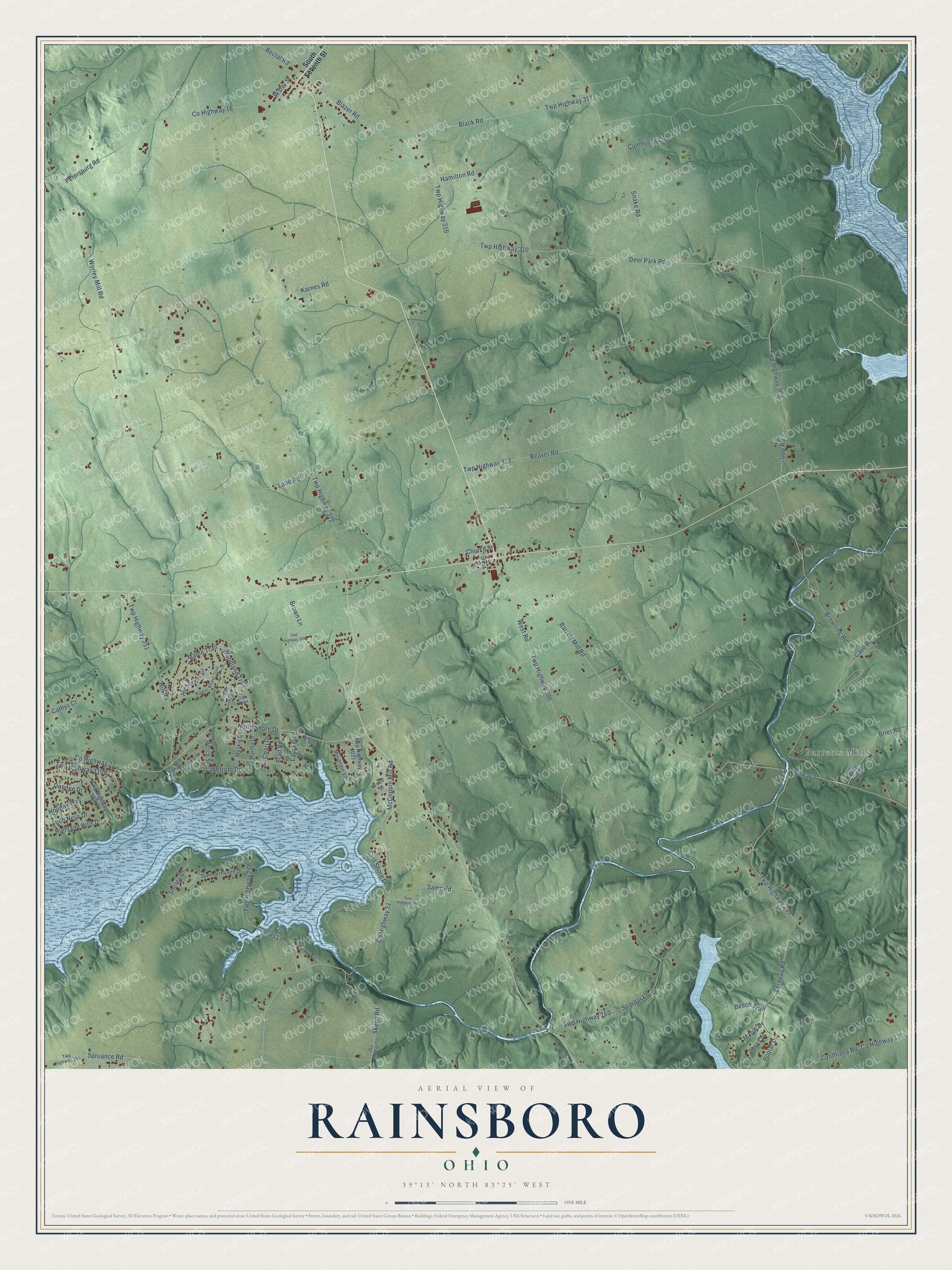
This beautifully detailed map of Rainsboro, Ohio was created in 2026 using aerial imagery combined with modern topographical, census, street and landmark data. It’s a one-of-a-kind view of Rainsboro that combines accurate data with a vintage aesthetic. The map shows every building in its true location, many of the roads carry their names, and the shaded topographic relief shows the shape of the land.
Explore an aerial view of Rainsboro, Ohio
On the map you’ll find Barretts Mills, along with Twp Highway 310, Upp Road, Maple Trail, Twp Highway 313, Worley Mill Road, Twp Highway 259, Barrett Mill Road, County Highway 1, Deer Park Road, Twp Highway 309, County Highway 51, and more. If you look closely you can even find your house accurately drawn in its correct location. Zoom in on the preview to look for yours.
Did You Know?
From Internet Archive: "In 1870 went West to Fort Collins, CO, then to Idaho and back to Ohio in 1882. 1883 returned to Idaho, but in 1885 returned to Ohio and settled near Rainsboro fir three years, after which he came to New Petersburg."
Rainsboro is a community in Highland County.
Take a closer look at the Rainsboro map
Names on this map
These names are printed on this map.
Places: Barretts Mills.
Streets and roads: Twp Highway 310, Upp Road, Maple Trail, Twp Highway 313, Worley Mill Road, Twp Highway 259, Barrett Mill Road, County Highway 1, Deer Park Road, Twp Highway 309, County Highway 51, McCoppin Mill Road.
More street names, A to Z
Beaver Road, Bectal Road, Beech Trail, Black Road, Blazer Road, Brad Road, Briar Hill Road, Brier Road, Browning Road, Brown Lane, Cathys Court, Cave Road, Cedar Trail, Chari Drive, Cherry Drive, Church Street, County Highway 16, County Highway 17, County Highway 27, Cummings Lane, Cynthiana Road, Dundee Drive, East Shore Drive, Evelyn Road, Ferneau Road, Fern Lane, Hamilton Road, Hickory Trail, Highland Hills Drive, Hill Road, Holiday Way, Karnes Road, Ladd Road, Lakefront Drive, Laura Boulevard, Loch Ness Drive, Lucas Lane, Maple Drive, Martha Drive, Mountain View Drive, Muskie Drive, North Shore Drive, Oak Trail, Perch Street, Petersburg Road, Poplar Drive, Sams Road, Shirley Drive, Short Street, Skeen Road, Snake Road, South Seventh Street, Spargur Lane, Spruance Road, Summerhaven Drive, Twp Highway 195, Twp Highway 250, Twp Highway 251, Twp Highway 260, Twp Highway 266, Twp Highway 305, Twp Highway 308, Twp Highway 312, Twp Highway 316, Twp Highway 317, Twp Highway 386, Twp Highway 1031, Twp Highway 1104, Twp Highway 1108, Valerie Drive, Wagon Wheel Trail, Water Street, West Road, West Street, Woodland Trail, Wood Street.
See it on a wall
The Rainsboro map as a framed print. Swipe for more.


This beautifully detailed map of Rainsboro makes an attractive addition to your office, library, or den, and it can even be used to teach children the geography and history of the area. It also makes a great gift for anyone who grew up in Rainsboro or moved away. When you’re done exploring, click here to get your copy of the Rainsboro map.