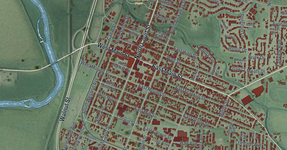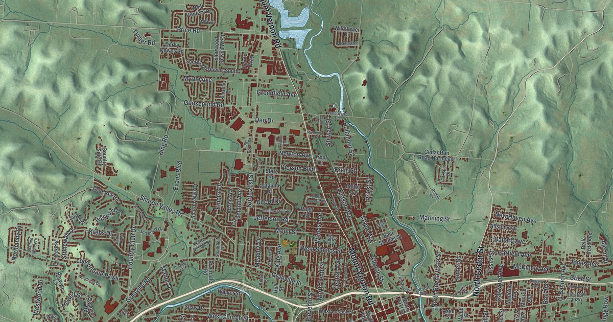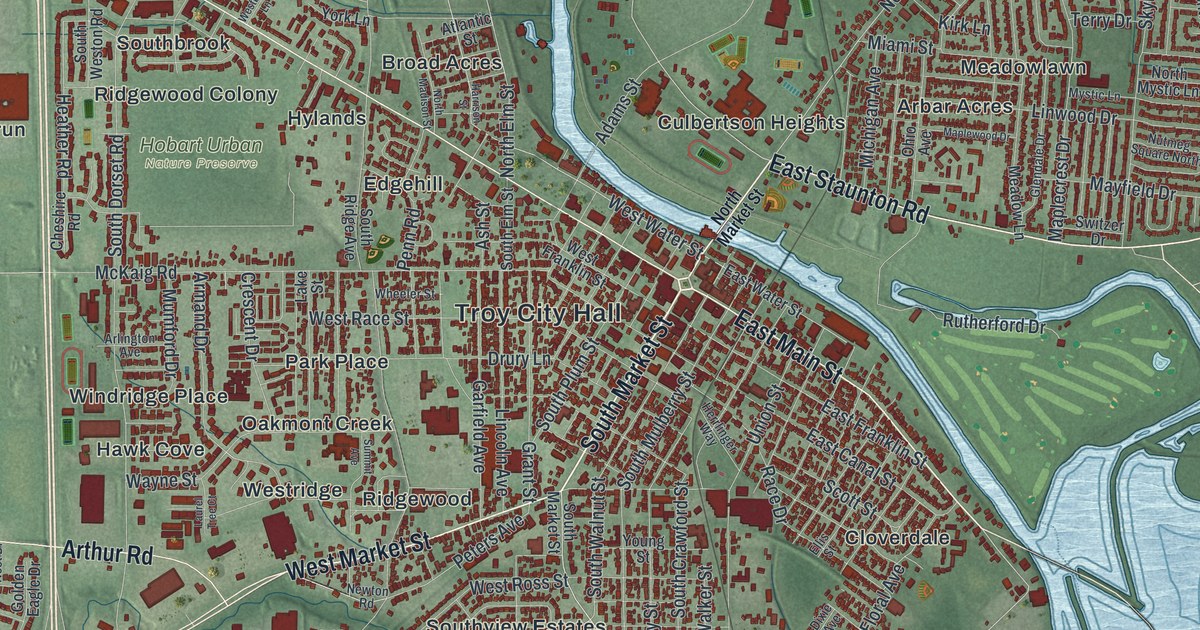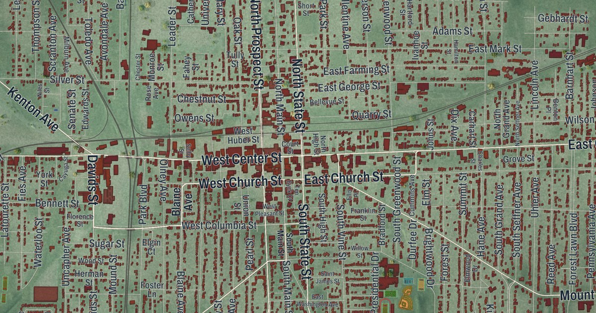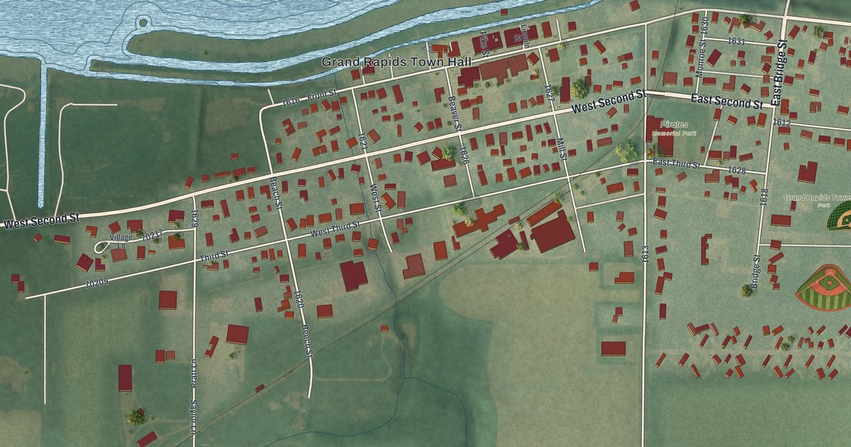
If you grew up in Grand Rapids, here's a view of home to keep close. This modern aerial view shows Grand Rapids in Wood County, Ohio, using modern data with a vintage feel. Blue water wraps around green islands above the village streets. Red buildings fill the blocks near Front Street and spread out toward open fields.
Front Street and Grand Rapids Town Hall
On this map you'll find Front Street, Grand Rapids Town Hall, Bridge Street, East Second Street, West Second Street, Beaver Street, Wapakoneta Road, Mill Street, Woodburn Avenue, Howard Island, Buttonwood Island, and more. Each red shape is a building, so zoom in on the preview and look for yours.
Grand Rapids was home to a glass inventor whose work reached space. The village's Dominick Labino marker tells how he invented pure silica fiber. It was used in tiles that helped insulate the space shuttle Columbia. The Apollo, Mercury, and Gemini spacecraft used it, too. Labino held 57 patents and lived in Grand Rapids from 1956.
He also helped start America's studio glass movement. His art reached more than 60 museums in the U.S. and abroad. He made glass with unusual color effects, as well as strength. The marker honoring him stands in the park by the bridge. On the print, look for Bridge Street near the blue river. It's a place to connect the village view with his story.
Keep Grand Rapids Close
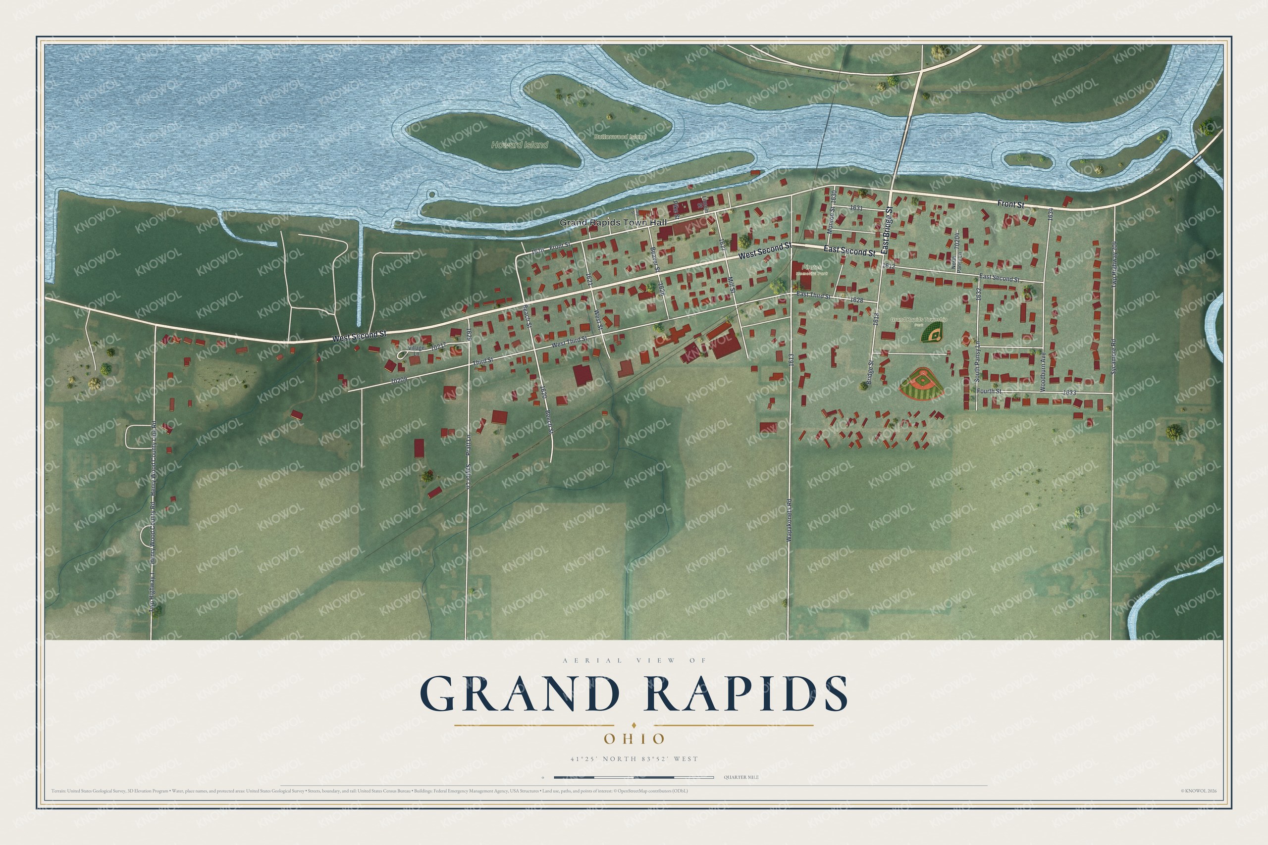
Created by KNOWOL in 2026, the print pairs muted green land with blue water and red buildings. Cream roads cross the village beneath a thin border. The cream title panel reads AERIAL VIEW OF GRAND RAPIDS, OHIO, with 41°25' NORTH 83°52' WEST below.
Hang it in a living room, office, or entryway. It's a gift for someone who grew up near Front Street or moved away from Grand Rapids. Open the preview to find a familiar block and take a closer look at home. See sizes and frames for the Grand Rapids map.