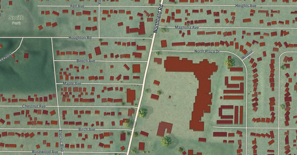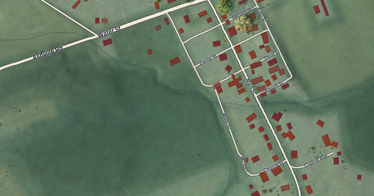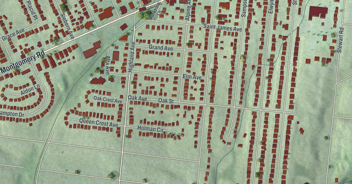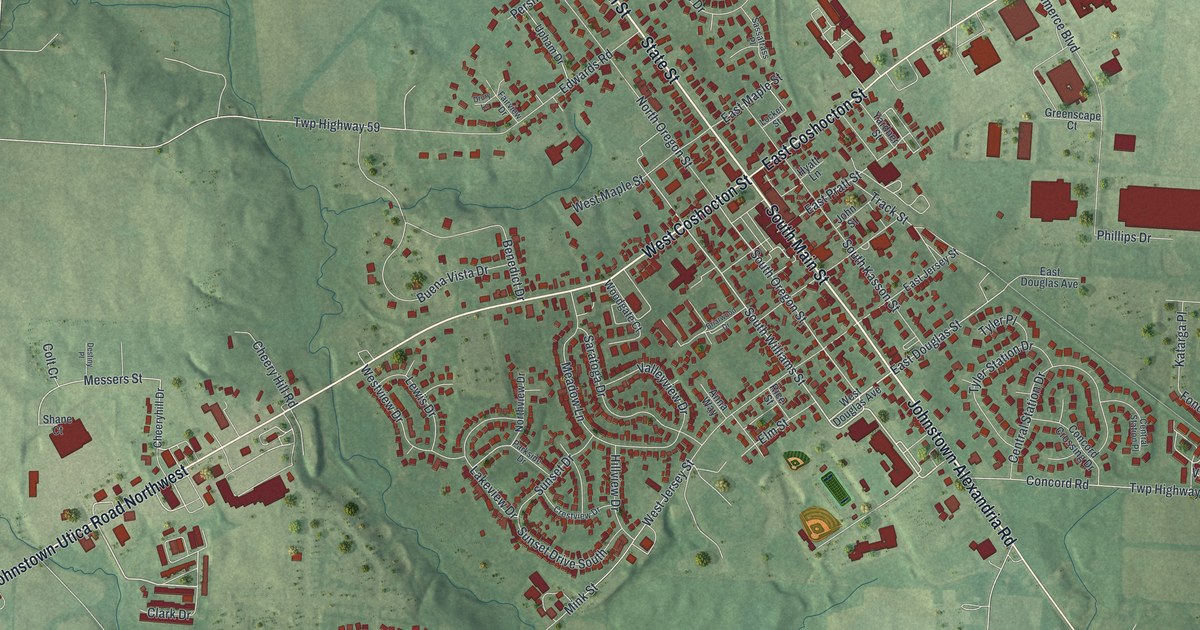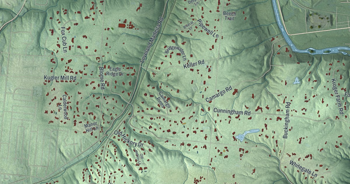
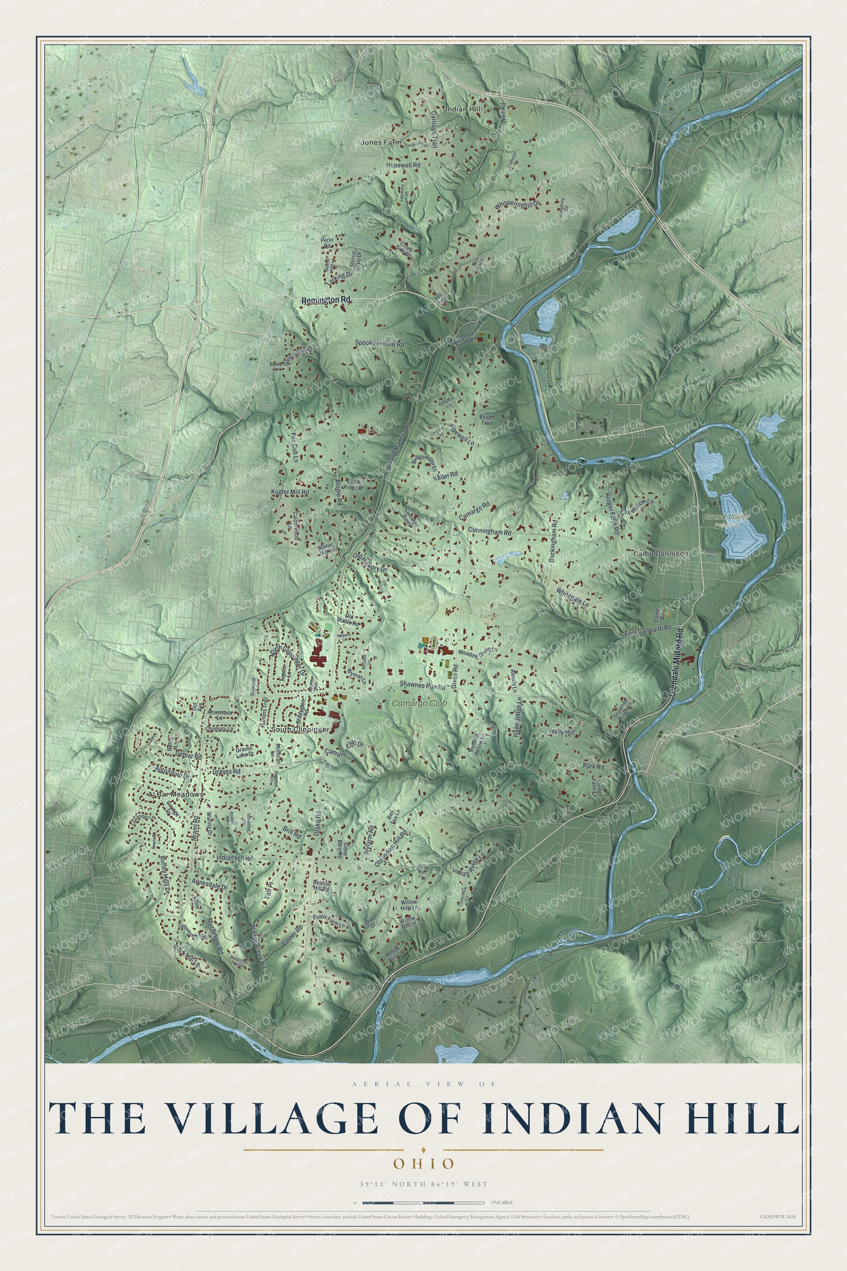
This beautifully detailed map of The Village of Indian Hill, Ohio was created in 2026 using aerial imagery combined with modern topographical, census, street and landmark data. It's a modern aerial view of The Village of Indian Hill in Hamilton County, Ohio, that combines modern data with a vintage aesthetic. The roads feature printed names, and if you look closely you can find your exact house accurately shown in its correct location.
Explore an aerial view of The Village of Indian Hill, Ohio
On this map you'll find Grand Valley Preserve, Turner Farm, Al Bar Meadows, Camp Dennison, Indian Hill, Jones Farm, South Clippinger, Camargo Club, Glendale Milford Road, Remington Road, Miami Road, Given Road, and more. Each red shape is a building, so zoom in on the preview and look for yours.
The Village of Indian Hill has a story worth telling. The City of the Village of Indian Hill puts it this way: "Newtown was among the first settlements and it was not long before some of the families moved from that settlement up the hillside to make their homes."
The Village of Indian Hill is a city in Hamilton County. The Census Bureau counted 6,087 people here in 2020.
Take a closer look at The Village of Indian Hill map
Names on this map
These names are printed on this map.
Places: Grand Valley Preserve, Turner Farm, Al Bar Meadows, Camp Dennison, Indian Hill, Jones Farm, South Clippinger and Camargo Club.
Streets and roads: Glendale Milford Road, Remington Road, Miami Road, Given Road, Kugler Mill Road, Indian Hill Road, Drake Road, Shawnee Run Road, Camargo Road, Loveland Madeira Road, Graves Road, Blome Road.
More street names, A to Z
Adams Avenue, Ahwenasa Lane, Alberly Lane, Algonquin Drive, Annesdale Drive, Arapaho Lane, Beacon Hill Road, Beaufort Hunt Lane, Beech Trail, Birdhaven Lane, Bluecut Lane, Bridgewater Lane, Brill Road, Brillwood Lane, Buckingham Road, Burley Hills Drive, Calderwood Lane, Camargo Club Drive, Camargo Pines, Camaridge Lane, Camp Road, Carolines Trail, Carriage Trail, Cayuga Drive, Chumani Lane, Colt Drive, Councilrock Lane, Crabtree Lane, Creek Side Drive, Cunningham Road, Deeprun Lane, Demar Road, Dot Avenue, Drewry Farm Lane, Druwood Lane, Eagle Ridge Drive, East Galbraith Road, Eustis Farm Lane, Finley Lane, Fletcher Road, Fox Cub Lane, Fox Hollow Lane, Graves Lake Drive, Hawk Ridge Lane, Hilltop Lane, Hobbit Road, Holly Hill, Hopewell Road, Humphrey Road, Hunters Trail, Indian Ridge Lane, Ivyfarm Road, Keller Road, Kroger Farm Road, Lakewood Lane, Larking Drive, Manor Hill Lane, Meadow Grove Lane, Miralake Lane, Mohican Lane, Muchmore Point Lane, Muchmore Road, Noel Lane, North Clippinger Drive, Old Hickory Drive, Old Hickory Lane, Old Indian Hill Road, Old Stable Road, Park Road, Perin Road, Pipewell Lane, Redbird Hollow Lane, Red Fox Lane, Rettig Lane, Rock Hill Lane, Shadyglen Road, Shawnee Ridge Lane, Spooky Hollow Road, Spooky Ridge Lane, Stirrup Cup Drive, Stone Barn Road, Stone Snail Drive, Sugarun Lane, Sunshine Lane, Sycamore Creek Road, Taft Place, Tall Trail, Tecumseh Trail, Tupelo Lane, Varner Road, Walton Creek Road, Waring Drive, Weil Road, Whisperinghill Drive, Whitegate Lane, Willow Hill Lane, Willow Hills Lane, Willow Run Court, Wyman Lane, Zumstein Drive.
See it on a wall
The The Village of Indian Hill map as a framed print. Swipe for more.


Created by KNOWOL in 2026. The buildings are small red shapes, the roads carry their printed names, and shaded relief shows the shape of the land. The title panel reads "AERIAL VIEW OF THE VILLAGE OF INDIAN HILL, OHIO" with 39°12' NORTH 84°19' WEST.
It looks right in a kitchen, an office or a den, and it's a gift for anyone who grew up in The Village of Indian Hill or moved away. Open the preview and find your street. See sizes and frames for The Village of Indian Hill map.