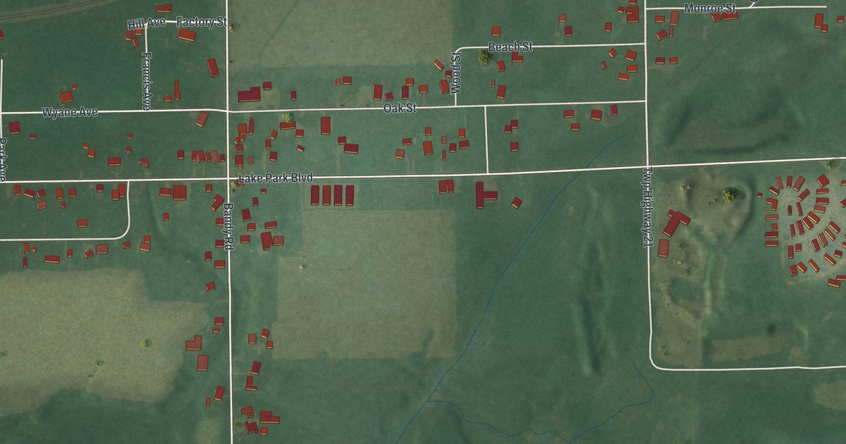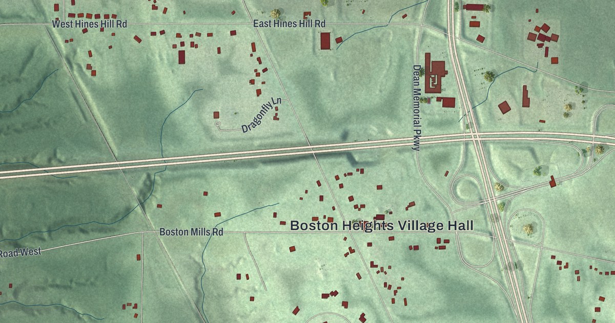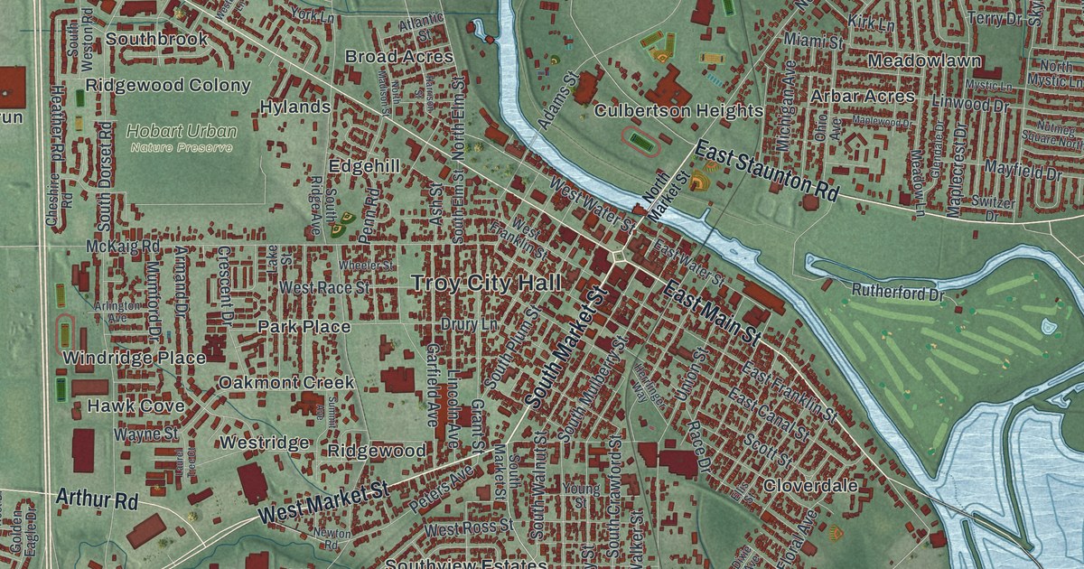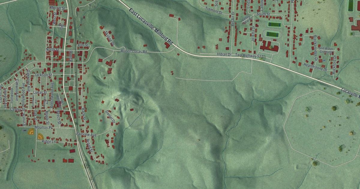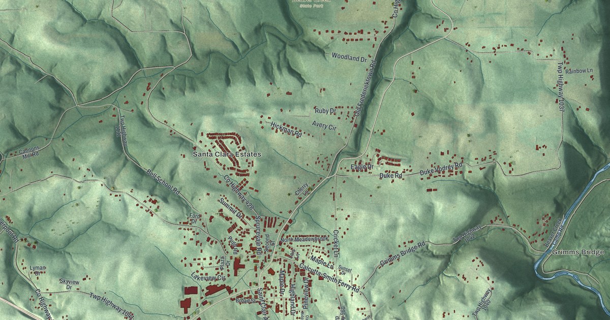
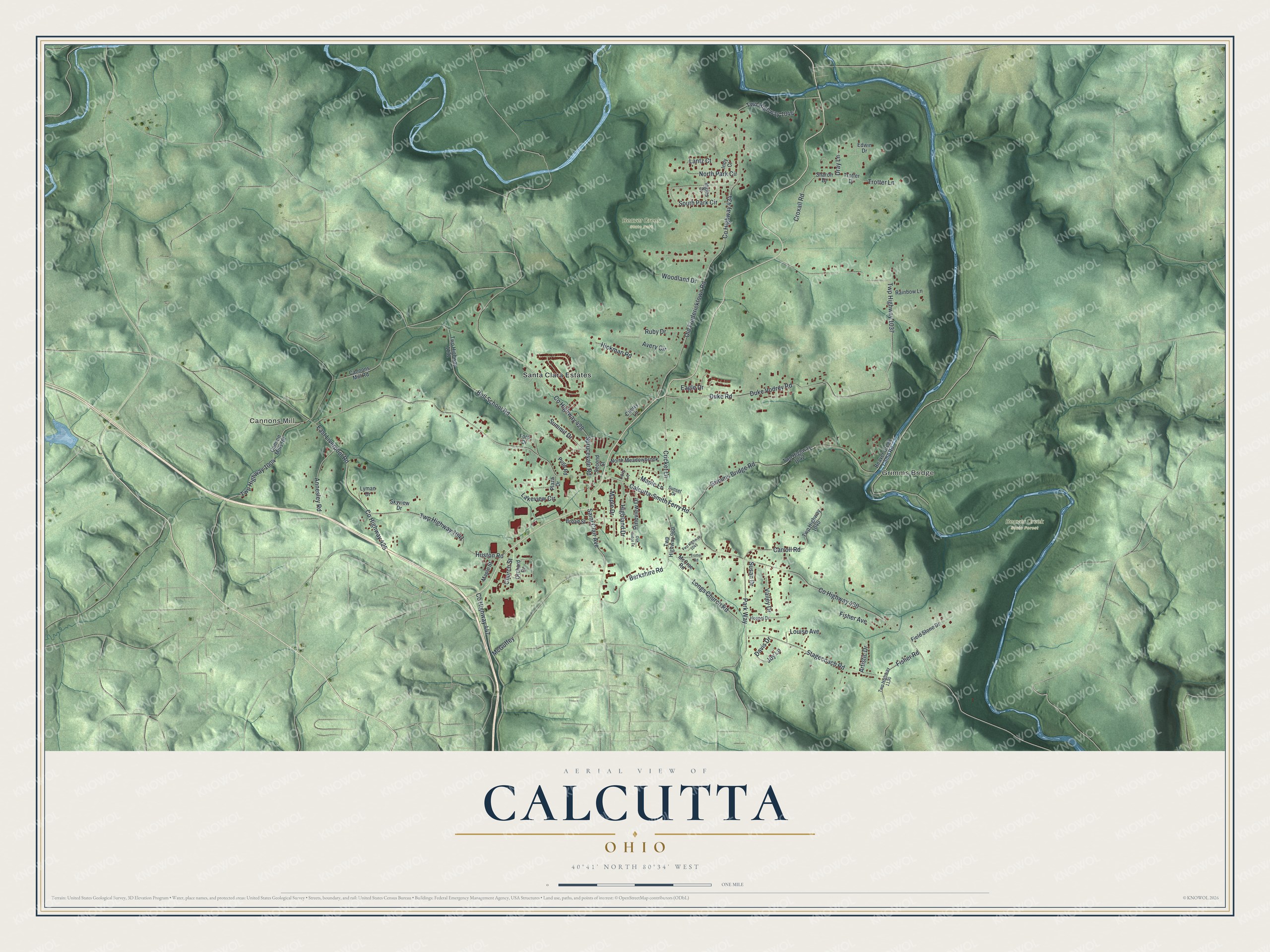
This beautifully detailed map of Calcutta, Ohio was created in 2026 using aerial imagery combined with modern topographical, census, street and landmark data. It's a modern aerial view of Calcutta in Columbiana County, Ohio, that combines modern data with a vintage aesthetic. The roads feature printed names, and if you look closely you can find your exact house accurately shown in its correct location.
Explore an aerial view of Calcutta, Ohio
On this map you'll find Cannons Mill, Grimms Bridge, Beaver Creek State Forest, Beaver Creek State Park, Santa Clara Estates, Dray Lane, Co Highway 425, Calcutta-Smith Ferry Road, Co Highway 430, Duke Road, Duke Vodrey Road, Twp Highway 1037, and more. Each red shape is a building, so zoom in on the preview and look for yours.
Here is a piece of Calcutta history. Calcutta was first laid out as West Union in November 1810 by Michael Shirtz and William Foulks. Early on it was called Nineveh, a name John McLaughlin is said to have given it for its supposed wickedness, and also Foulkstown, before it took the gentler name of Calcutta in remembrance of the city in India. Calcutta was the earliest settlement in St. Clair Township and its seat of government. The first sermon there is believed to have been preached in 1800 under a tree that stood where the two main streets now cross. That's from the History of Columbiana County.
Calcutta is a community in Columbiana County. The Census Bureau counted 3,941 people here in 2020.
Take a closer look at the Calcutta map
Names on this map
These names are printed on this map.
Places: Cannons Mill, Grimms Bridge, Beaver Creek State Forest, Beaver Creek State Park and Santa Clara Estates.
Streets and roads: Dray Lane, County Highway 425, Calcutta-Smith Ferry Road, County Highway 430, Duke Road, Duke Vodrey Road, Twp Highway 1037, Old Fredericktown Road, County Highway 428, County Highway 434, Sprucevale Road, Twp Highway 1004.
More street names, A to Z
Annesley Road, Artistic Drive, Avery Circle, Beaver Creek Camp Road, Bell School Road, Berkshire Road, Broad Street, Cannon Mills Road, Cannons Mill Road, Carroll Road, Cherry Lane, Church Street, County Highway 447, Cricket Lane, Croxall Road, Davis Drive, Eagle Drive, East Liverpool Road, Edwin Drive, Field Stone Drive, Fisher Avenue, Fisher Road, Ford Drive, Grimms Bridge Road, Hickman Road, Highland Drive, Hoppel Drive, Huston Road, Indy Court, Ingles Drive, Joy Lane, Lakeview Circle, Lantz Court, Lois Lane, Longs Church Road, Louise Avenue, Lyman Drive, Maple Drive, Maple Lane, Maple Street, McCrae Road, McGuffey, North Meadowbrook, North Park Circle, Oak Ridge Drive, Orchard Drive, Park Way, Pineview Drive, Plaza Drive, Pugh Road, Rainbow Lane, Ruby Drive, Saint Clair Avenue, Second Street, Sharon Drive, Skyview Drive, South Park Circle, Stagecoach Road, Summit Drive, Sunset Drive, Susan Drive, Trotter Drive, Trotter Lane, Trotter Road, Twp Highway 960, Twp Highway 1040, Twp Highway 1041, Twp Highway 1042, Twp Highway 1044, Twp Highway 1049, Twp Highway 1130, Twp Highway 1131, Valley Drive, Woodland Drive.
See it on a wall
The Calcutta map as a framed print. Swipe for more.


Created by KNOWOL in 2026. The buildings are small red shapes, the roads carry their printed names, and shaded relief shows the shape of the land. The title panel reads "AERIAL VIEW OF CALCUTTA, OHIO" with 40°41' NORTH 80°34' WEST.
It suits a den, a classroom or a front hall, and it makes a gift for anyone with Calcutta roots. Open the preview and find the block you know. See sizes and frames for the Calcutta map.